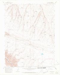
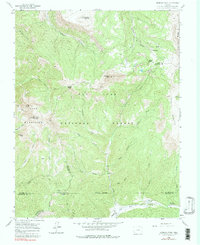
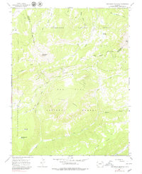
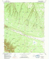
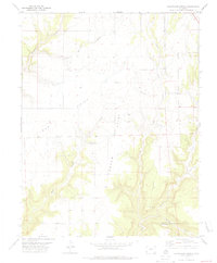
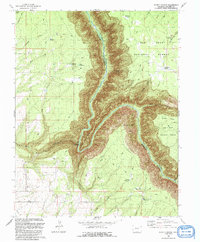
1964 Map of The Glade
USGS Topo · Published 1968This historical map portrays the area of The Glade in 1964, primarily covering Dolores County. Featuring a scale of 1:24000, this map provides a highly detailed snapshot of the terrain, roads, buildings, counties, and historical landmarks in the The Glade region at the time. Published in 1968, it is one of 3 known editions of this map due to revisions or reprints.
Find a feature on this map
67 named features on this map. Tap any name to fly to it.
Don’t see what you’re looking for? This feature index may not catch every label — zoom into the map to look around manually.
Map Details
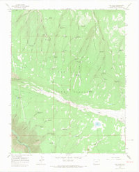
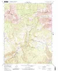
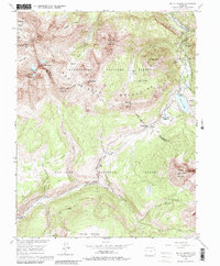
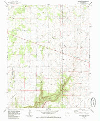
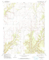
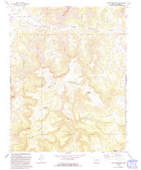
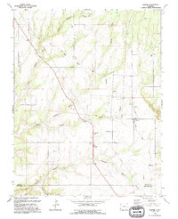
Editions of this 1964 The Glade Map
3 editions found
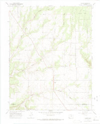
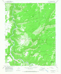
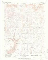
Historical Maps of Dolores County Through Time
28 maps found
1953 Dolores Peak
Dolores County, CO
1953 Mount Wilson
Dolores County, CO

1957 Cedar 3 NW
Dolores County, CO
1960 Hermosa Peak
Dolores County, CO
1963 Clyde Lake
Dolores County, CO
1963 Nipple Mountain
Dolores County, CO
1964 Glade Mountain
Dolores County, CO
1964 Groundhog Mountain
Dolores County, CO
1964 Groundhog Reservoir
Dolores County, CO
1964 Secret Canyon
Dolores County, CO
1964 South Mountain
Dolores County, CO
1964 The Glade
Dolores County, CO
1965 Cahone
Dolores County, CO
1965 Doe Canyon
Dolores County, CO

1965 Narraguinnep Mountain
Dolores County, CO
1965 Willow Spring
Dolores County, CO
1978 Champagne Spring
Dolores County, CO

1985 Burnt Cabin Creek
Dolores County, CO
1985 Northdale
Dolores County, CO
1993 Champagne Spring
Dolores County, CO

1993 Doe Canyon
Dolores County, CO
1993 Glade Mountain
Dolores County, CO

1993 Narraguinnep Mountain
Dolores County, CO
1993 Secret Canyon
Dolores County, CO
1993 South Mountain
Dolores County, CO

1993 The Glade
Dolores County, CO

1993 Willow Spring
Dolores County, CO
1994 Cahone
Dolores County, CO