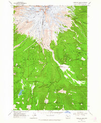
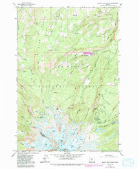
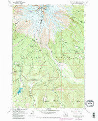
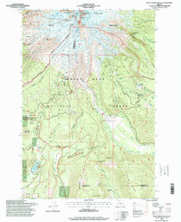
1962 Map of Timberline Lodge
USGS Topo · Published 1964This historical map portrays the area of Timberline Lodge in 1962, primarily covering Hood River County as well as portions of Clackamas County and Wasco County. Featuring a scale of 1:24000, this map provides a highly detailed snapshot of the terrain, roads, buildings, counties, and historical landmarks in the Timberline Lodge region at the time. Published in 1964, it is one of 3 known editions of this map due to revisions or reprints.
Map Details
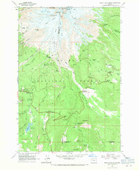
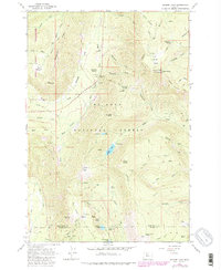
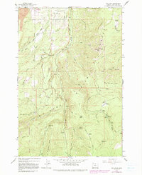
Editions of this 1962 Timberline Lodge Map
3 editions found
Historical Maps of Clackamas County Through Time
16 maps found
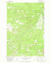
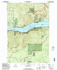
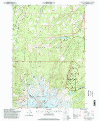
1962 Badger Lake
Hood River County, OR
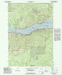
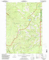
1962 Dog River
Hood River County, OR
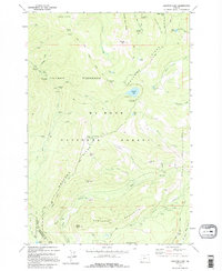
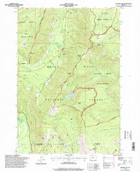
1962 Mount Hood North
Hood River County, OR
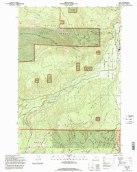
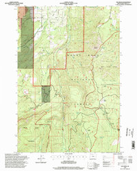
1962 Mount Hood South
Hood River County, OR
1975 Hood River NE
Hood River County, OR
1979 Badger Lake
Hood River County, OR
1979 Dee
Hood River County, OR
1979 Mt. Defiance
Hood River County, OR
1979 Wahtum Lake
Hood River County, OR
1994 Dee
Hood River County, OR
1994 Mt. Defiance
Hood River County, OR
1994 Wahtum Lake
Hood River County, OR
1996 Badger Lake
Hood River County, OR
1996 Dog River
Hood River County, OR
1996 Mount Hood North
Hood River County, OR
1996 Mount Hood South
Hood River County, OR