
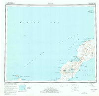
1951 Map of Umnak
USGS Topo · Published 1952About this map
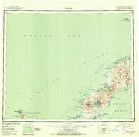
Mt Vsevidof dominates the volcanic landscape of Umnak Island in the early 1950s, a decade after aerial photogrammetric surveys by the U.S. Coast and Geodetic Survey documented this portion of the Aleutian Islands. The coastlines are marked by descriptive and often somber nomenclature, such as Cemetery Cove, Hot Springs Cove, and Stepanof Cove tucked within the larger Inanudak Bay. This era of mapping reveals a terrain shaped by active geothermal forces, evidenced by Geyser Bight and the Boiling Pinnacles near the northern tip of the island.
Find a feature on this map
47 named features on this map. Tap any name to fly to it.
Don’t see what you’re looking for? This feature index may not catch every label — zoom into the map to look around manually.
Map Details
Editions of this 1951 Umnak Map
8 editions found
Other maps of this area

1951 · Unalaska
USGS Topo · 1:250,000

1951 · Amukta
USGS Topo · 1:250,000

1951 · Samalga Island
USGS Topo · 1:250,000

1958 · Samalga Island
USGS Topo · 1:250,000

1958 · Umnak
USGS Topo · 1:250,000
2021 · Samalga Island D-6 OE E NW
USGS Topo · 1:25,000
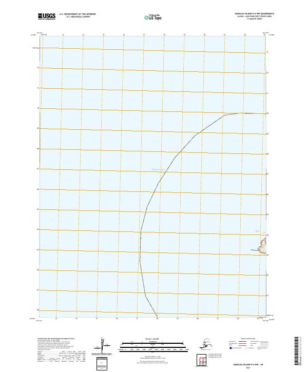
2021 · Samalga Island D-4 NW
USGS Topo · 1:25,000
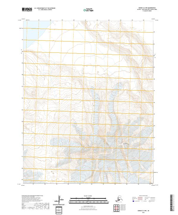
2021 · Umnak A-2 NW
USGS Topo · 1:25,000
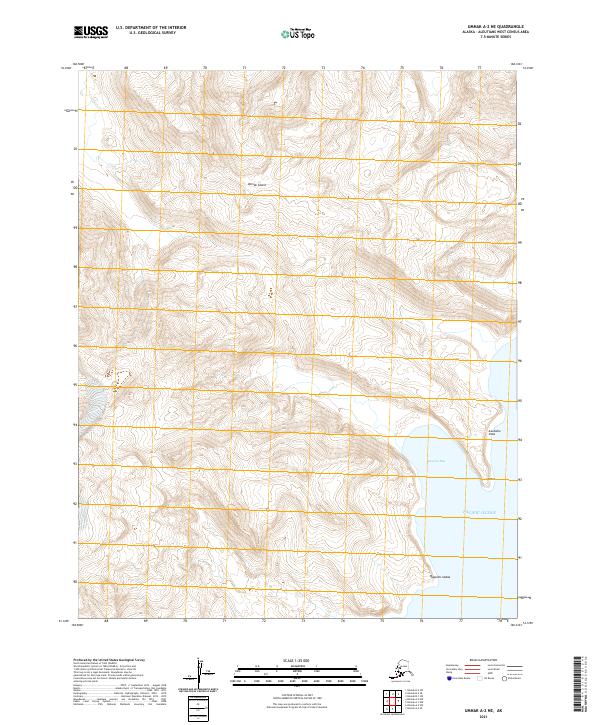
2021 · Umnak A-2 NE
USGS Topo · 1:25,000
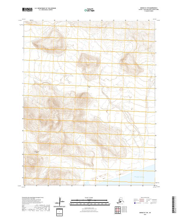
2021 · Umnak B-1 SW
USGS Topo · 1:25,000