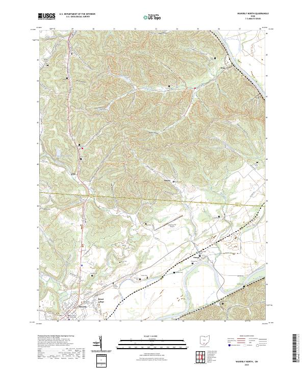
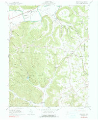
2023 Map of Waverly North
USGS Topo · Published 2023About this map
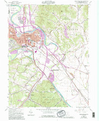
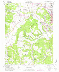
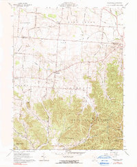
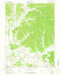
The Scioto River valley serves as the primary corridor for development in this portion of Southern Ohio, where the city of Waverly and neighboring Bristol Village sit at the confluence of several upland drainages. The landscape transitions from the broad river bottom to a network of hollows, including Cox Hollow and Long Branch Hollow, illustrating the region's complex topography. Further north, the Scioto Trail Bridle Trail and North Country National Scenic Trail wind through the hills near Caldwell Lake, highlighting the area's contemporary role in regional recreation. Rural life remains anchored by numerous small family and community burial grounds such as Old Omega Cem, Frey Cem, and Brust Cem, which are scattered throughout the hills near settlements like Antonis and Omega.
Find a feature on this map
115 named features on this map. Tap any name to fly to it.
Don’t see what you’re looking for? This feature index may not catch every label — zoom into the map to look around manually.
Map Details
Editions of this 2023 Waverly North Map
This is the sole edition of this map. No revisions or reprints were ever made.
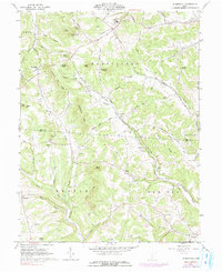
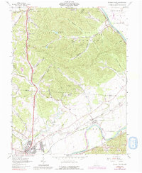
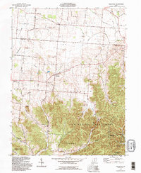
Historical Maps of Ross County Through Time
20 maps found
1912 Roxabell
Ross County, OH
1914 Roxabell
Ross County, OH
1944 Roxabell
Ross County, OH
1961 Chillicothe East
Ross County, OH
1961 Chillicothe West
Ross County, OH
1961 Hallsville
Ross County, OH
1961 Londonderry
Ross County, OH
1961 Morgantown
Ross County, OH
1961 Summithill
Ross County, OH
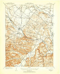
1961 Waverly North
Ross County, OH
1992 Hallsville
Ross County, OH
1992 Londonderry
Ross County, OH
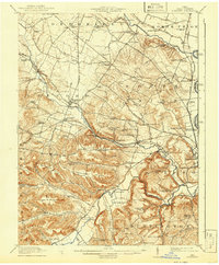
1992 Waverly North
Ross County, OH
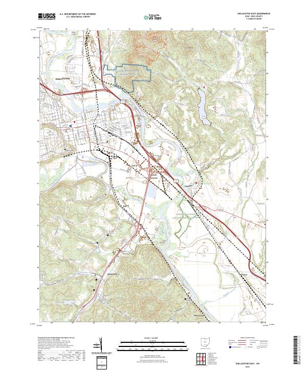
2023 Chillicothe East
Ross County, OH
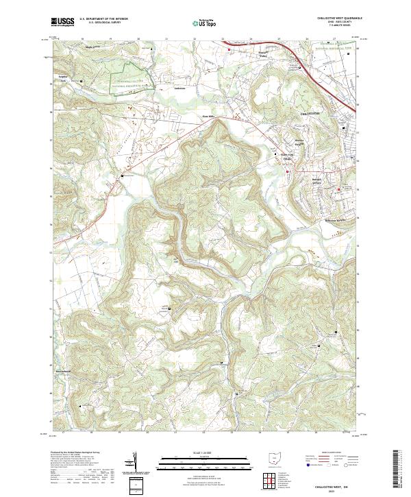
2023 Chillicothe West
Ross County, OH
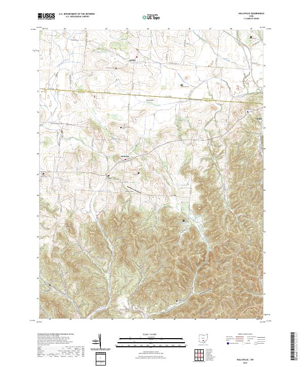
2023 Hallsville
Ross County, OH
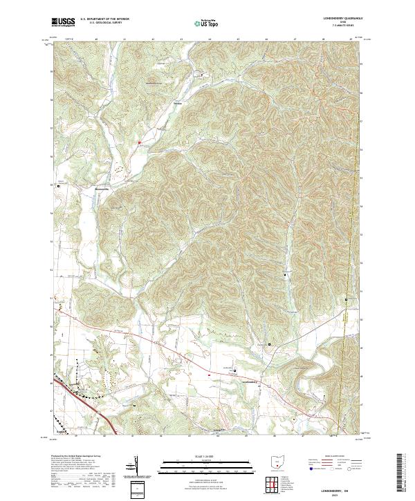
2023 Londonderry
Ross County, OH
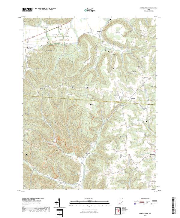
2023 Morgantown
Ross County, OH
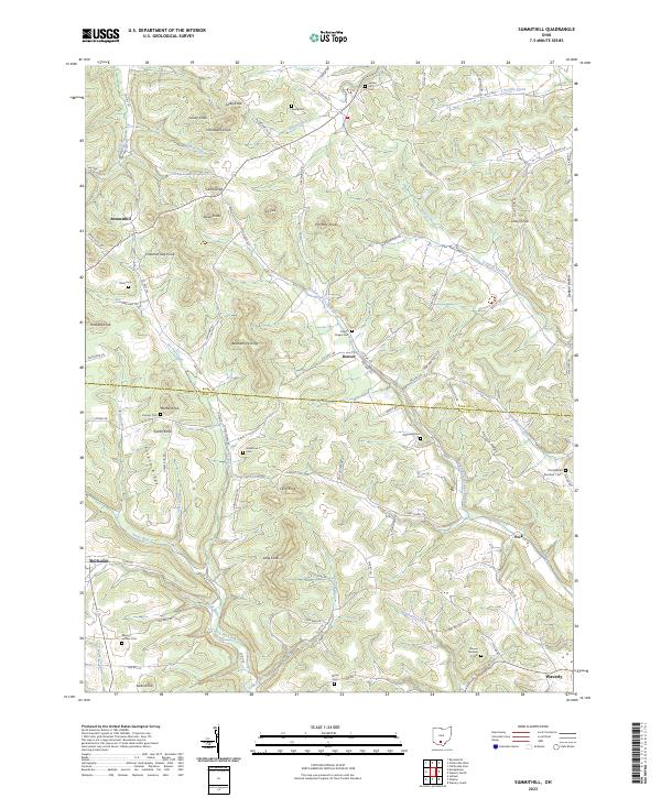
2023 Summithill
Ross County, OH
2023 Waverly North
Ross County, OH