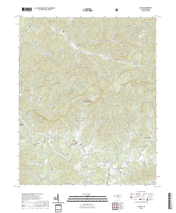
2022 Map of Wesser
USGS Topo · Published 2022About this map
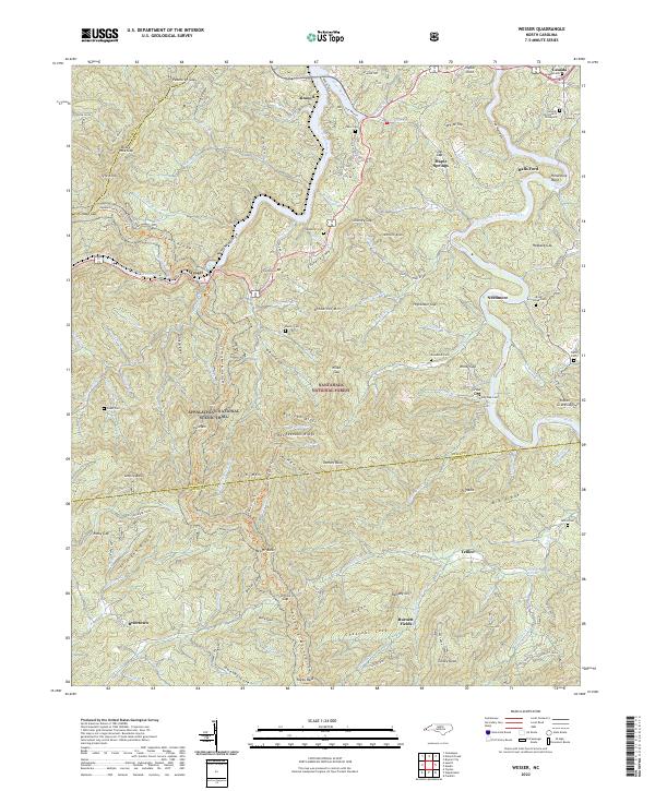
The Nantahala River carves a deep path through the Nantahala Gorge in this mountain landscape, which is defined by the intersection of the Nantahala National Forest and the Appalachian National Scenic Trail. The rugged topography of the Nantahala Mountains is evidenced by several high points, including Wesser Bald and DeHart Bald. Small settlements like Wesser, Almond, and Needmore are interspersed among numerous family-named landmarks and gaps. Genealogists may find value in the many cemeteries identified, such as the Sawmill Hill Church Graveyard and Tabor Cem. The confluence of the Little Tennessee River and the Nantahala highlights the water-driven geography of the region, while labels for Gibson Cove and Euchella Cove indicate the complex drainage patterns of the Swain and Macon county lines.
Find a feature on this map
131 named features on this map. Tap any name to fly to it.
Don’t see what you’re looking for? This feature index may not catch every label — zoom into the map to look around manually.
Map Details
Editions of this 2022 Wesser Map
This is the sole edition of this map. No revisions or reprints were ever made.
Historical Maps of Wright Place Through Time
44 maps found

1933 Bryson
Swain County, NC

1933 Bushnell
Swain County, NC

1936 Alarka
Swain County, NC

1936 Bryson
Swain County, NC

1936 Bunches Bald
Swain County, NC

1936 Judson
Swain County, NC

1936 Proctor
Swain County, NC

1936 Ravensford
Swain County, NC

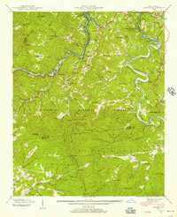
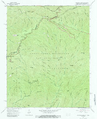
1936 Wesser
Swain County, NC

1940 Alarka
Swain County, NC

1940 Bryson
Swain County, NC

1940 Judson
Swain County, NC

1940 Proctor
Swain County, NC
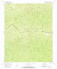
1940 Wesser
Swain County, NC

1941 Alarka
Swain County, NC

1941 Bryson
Swain County, NC

1941 Judson
Swain County, NC

1941 Proctor
Swain County, NC
1961 Noland Creek
Swain County, NC

1961 Tuskeegee
Swain County, NC
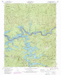
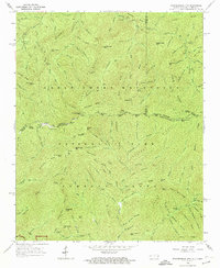
1961 Wesser
Swain County, NC

1964 Bunches Bald
Swain County, NC
1964 Clingmans Dome
Swain County, NC
1964 Silers Bald
Swain County, NC

1964 Smokemont
Swain County, NC
1964 Thunderhead Mtn
Swain County, NC

1976 Bunches Bald
Swain County, NC

1976 Clingmans Dome
Swain County, NC

1976 Noland Creek
Swain County, NC

1976 Silers Bald
Swain County, NC

1976 Tuskeegee
Swain County, NC

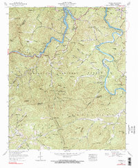
1976 Wesser
Swain County, NC

2000 Bunches Bald
Swain County, NC

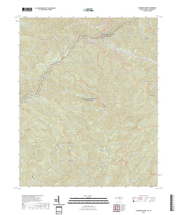
2000 Clingmans Dome
Swain County, NC

2000 Smokemont
Swain County, NC
2022 Alarka
Swain County, NC
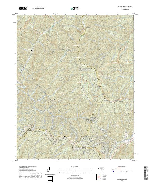
2022 Bunches Bald
Swain County, NC
2022 Kuwohi
Swain County, NC
2022 Noland Creek
Swain County, NC
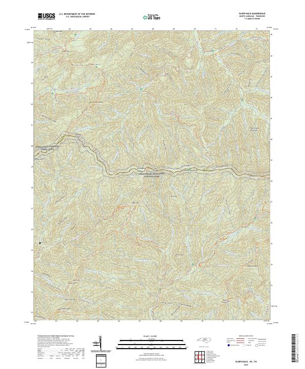
2022 Silers Bald
Swain County, NC

2022 Smokemont
Swain County, NC
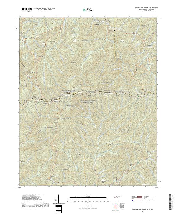
2022 Thunderhead Mountain
Swain County, NC
2022 Wesser
Swain County, NC
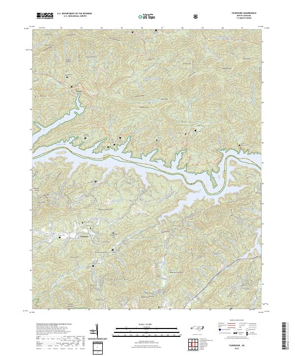
2023 Tuskeegee
Swain County, NC