
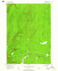
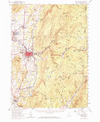
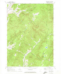
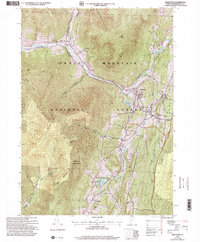
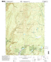
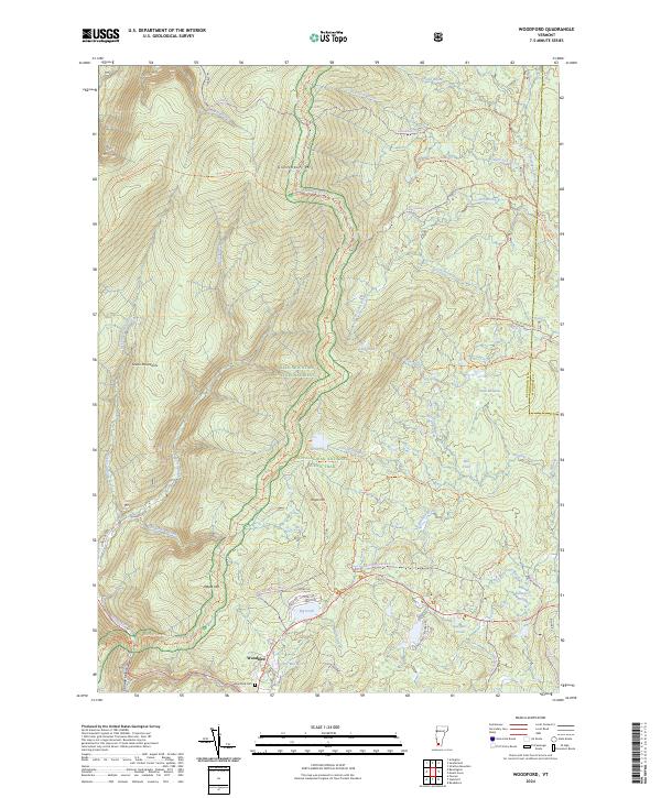
1954 Map of Woodford
USGS Topo · Published 1957This historical map portrays the area of Woodford in 1954, primarily covering Bennington County as well as portions of Windham County. Featuring a scale of 1:24000, this map provides a highly detailed snapshot of the terrain, roads, buildings, counties, and historical landmarks in the Woodford region at the time. Published in 1957, it is one of 3 known editions of this map due to revisions or reprints.
Find a feature on this map
45 named features on this map. Tap any name to fly to it.
Don’t see what you’re looking for? This feature index may not catch every label — zoom into the map to look around manually.
Map Details
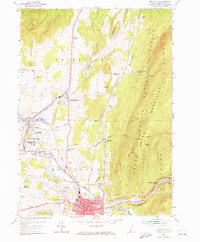
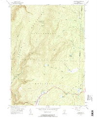
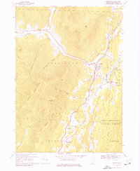
Editions of this 1954 Woodford Map
3 editions found
Historical Maps of Windham County Through Time
29 maps found
1894 Equinox
Bennington County, VT

1896 Equinox
Bennington County, VT
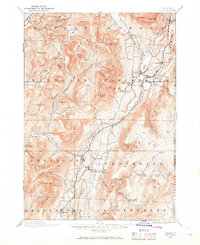
1898 Bennington
Bennington County, VT
1900 Equinox
Bennington County, VT
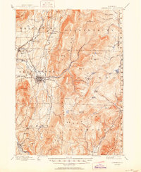
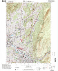
1954 Bennington
Bennington County, VT
1954 Bennington
Bennington County, VT
1954 Woodford
Bennington County, VT
1967 Arlington
Bennington County, VT
1967 West Rupert
Bennington County, VT

1968 Manchester
Bennington County, VT

1968 Sunderland
Bennington County, VT
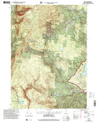
1986 Peru
Bennington County, VT
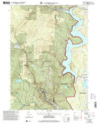
1987 Readsboro
Bennington County, VT
1995 West Rupert
Bennington County, VT
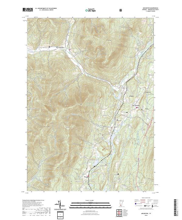
1997 Arlington
Bennington County, VT
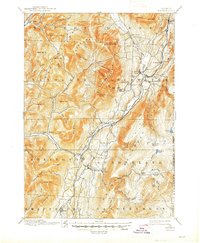
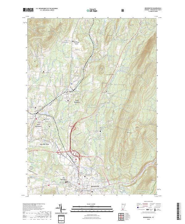
1997 Bennington
Bennington County, VT

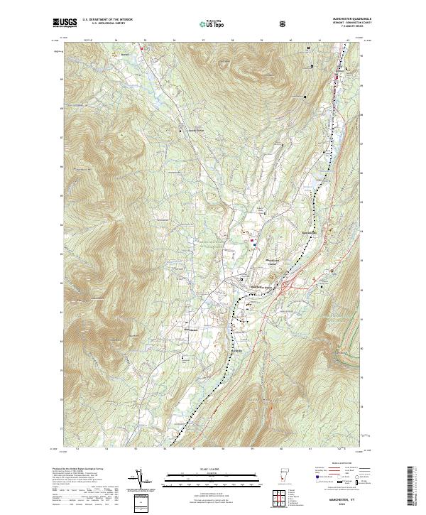
1997 Manchester
Bennington County, VT
1997 Peru
Bennington County, VT
1997 Readsboro
Bennington County, VT

1997 Sunderland
Bennington County, VT
1997 Woodford
Bennington County, VT
2024 Arlington
Bennington County, VT
2024 Bennington
Bennington County, VT
2024 Manchester
Bennington County, VT
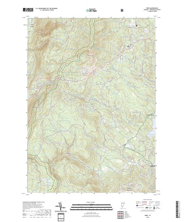
2024 Peru
Bennington County, VT
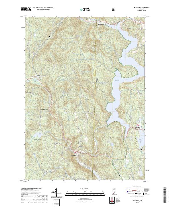
2024 Readsboro
Bennington County, VT
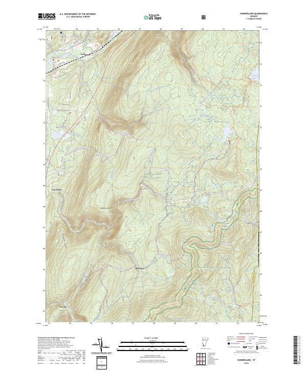
2024 Sunderland
Bennington County, VT
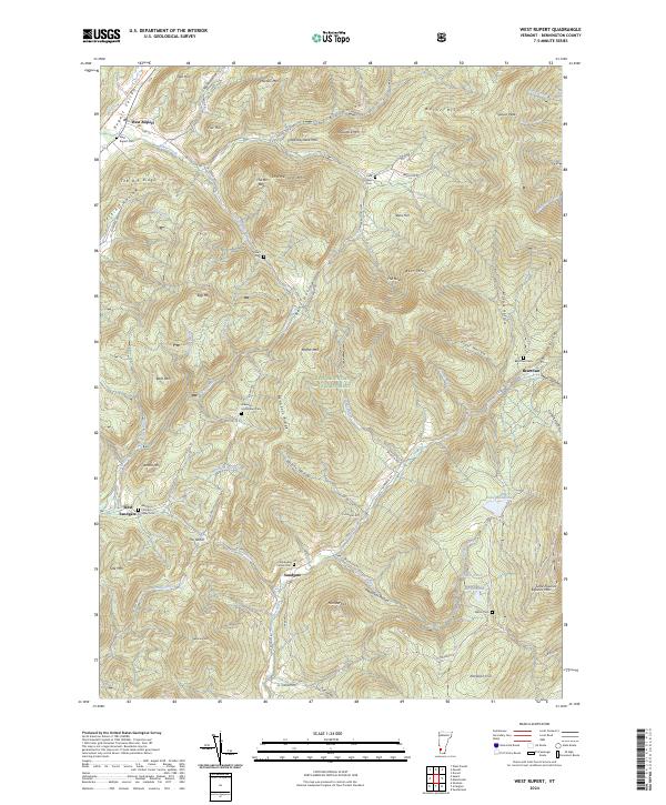
2024 West Rupert
Bennington County, VT
2024 Woodford
Bennington County, VT