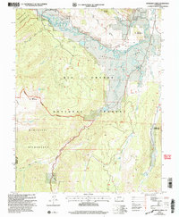
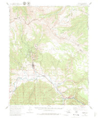
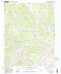
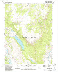
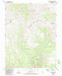
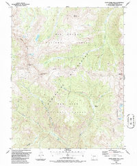
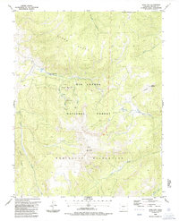
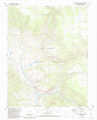
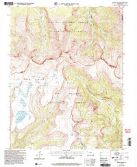
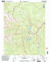
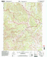
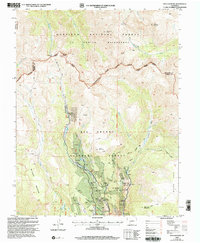
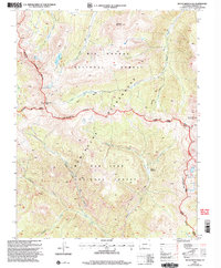
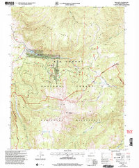
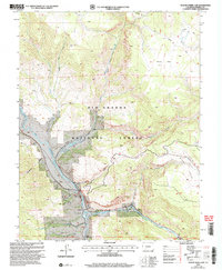
2001 Map of Workman Creek
USGS Topo · Published 2005This historical map portrays the area of Workman Creek in 2001, primarily covering Mineral County as well as portions of Hinsdale County. Featuring a scale of 1:24000, this map provides a highly detailed snapshot of the terrain, roads, buildings, counties, and historical landmarks in the Workman Creek region at the time. Published in 2005, it is the sole known edition of this map.
Find a feature on this map
32 named features on this map. Tap any name to fly to it.
Don’t see what you’re looking for? This feature index may not catch every label — zoom into the map to look around manually.
Map Details
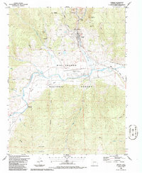
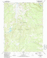
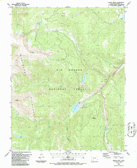
Editions of this 2001 Workman Creek Map
This is the sole edition of this map. No revisions or reprints were ever made.
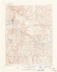
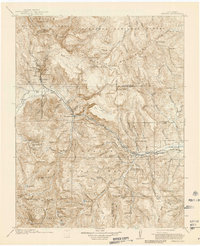
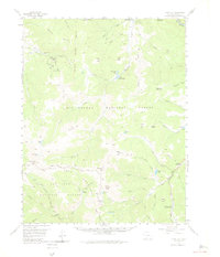
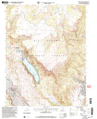
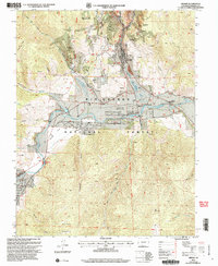
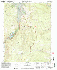
Historical Maps of Mineral County Through Time
30 maps found
1914 Creede
Mineral County, CO
1916 Creede
Mineral County, CO
1957 Spar City
Mineral County, CO
1959 Creede
Mineral County, CO
1964 Pagosa Peak
Mineral County, CO
1964 Workman Creek
Mineral County, CO
1967 Pool Table Mountain
Mineral County, CO
1973 Palomino Mountain
Mineral County, CO
1984 Saddle Mountain
Mineral County, CO
1984 Wolf Creek Pass
Mineral County, CO
1986 Baldy Cinco
Mineral County, CO
1986 Bristol Head
Mineral County, CO
1986 Creede
Mineral County, CO
1986 Lake Humphreys
Mineral County, CO
1986 Mount Hope
Mineral County, CO
1986 San Luis Peak
Mineral County, CO
1986 South River Peak
Mineral County, CO
1986 Spar City
Mineral County, CO
1986 Wagon Wheel Gap
Mineral County, CO
2001 Baldy Cinco
Mineral County, CO
2001 Bristol Head
Mineral County, CO
2001 Creede
Mineral County, CO
2001 Lake Humphreys
Mineral County, CO
2001 Mount Hope
Mineral County, CO
2001 Palomino Mountain
Mineral County, CO
2001 San Luis Peak
Mineral County, CO
2001 South River Peak
Mineral County, CO
2001 Spar City
Mineral County, CO
2001 Wagon Wheel Gap
Mineral County, CO
2001 Workman Creek
Mineral County, CO