2020s Maps of Alabama
Explore 1,883 historic maps of Alabama from the 2020s. These maps offer a rare glimpse into what life looked like during the 2020s — showing old roads, neighborhoods, homes, and landmarks that have changed or disappeared over time.
Whether you're researching your family's past, planning a metal detecting trip, or studying how Alabama's landscape evolved across the 2020s, these high-resolution maps are a powerful tool for exploring the history of this region.
- Focus on a specific era: All maps on this page are from the 2020s, giving you a focused view of this time period.
- See what’s changed: Compare century-old streets, trails, and buildings to today's modern landscape using overlays and satellite layers.
- Research with precision: Use these maps for genealogy, historical research, land use analysis, or educational projects.
- View, download, or print: Maps are fully viewable online in high resolution, and can be downloaded or printed for your own records.
Start exploring Alabama's history through authentic maps from the 2020s. This is your window into the past.
Alabama maps
(1,883)- 2020 Map of Donalsonville West, 2020 Print
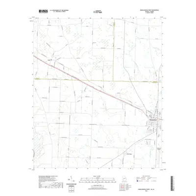 2020 Donalsonville West2020 Print · USGSDonalsonville and the surrounding agricultural lands of Seminole County are documented here in the early twenty-first century. Researchers can trace family history through sites like Hodges Cem, the settlement of Jakin, and the central Seminole County Courthouse.
 - 2020 Map of Glenn, 2020 Print
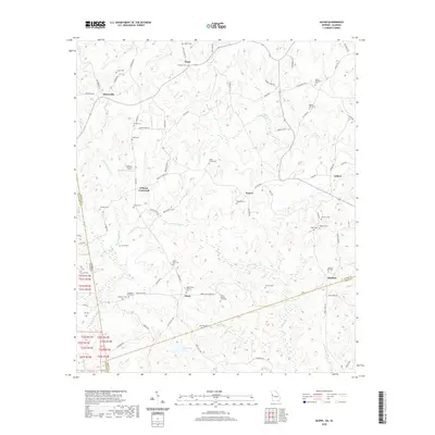 2020 Glenn2020 Print · USGSThe Georgia-Alabama borderlands at the start of the 2020s remain a landscape of quiet rural settlements and deeply rooted family sites. Researchers can locate numerous historic burial grounds like Union Grove Cem and Zachary Cem or trace the winding course of Whitewater Cr.
 - 2020 Map of Melson, 2020 Print
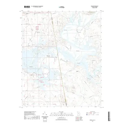 2020 Melson2020 Print · USGSThe borderlands of Alabama and Georgia are shown here as the modern century opens, centered on the winding Coosa River. Genealogists and local historians can locate many rural burial grounds like Macedonia Cem and small settlements such as Kirks Grove.
 - 2020 Map of Fort Benning, 2020 Print
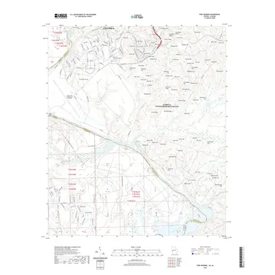 2020 Fort Benning2020 Print · USGSThe border of Georgia and Alabama at the start of the 2020s is defined here by the massive military presence south of Columbus. Genealogists and historians can trace the geography of the installation through landmarks like Lawson Army Airfield and numerous ridges like Sexton Ridge.
 - 2020 Map of Columbia NE, 2020 Print
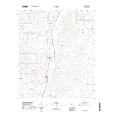 2020 Columbia NE2020 Print · USGSThe Chattahoochee River border between Alabama and Georgia comes alive in this 2020 survey of Henry and Early counties. Researchers can trace the rural landscape from the settlement of Haleburg to family-named sites like Bethel Baptist Church Cem and Jones Lake.
 - 2020 Map of Fortson, 2020 Print
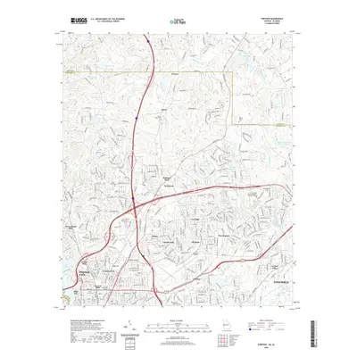 2020 Fortson2020 Print · USGSThe Georgia-Alabama borderlands at Columbus come to life here during a period of significant suburban expansion and institutional growth. Researchers can locate family roots at Mount Gilead Cem or trace the early footprint of Columbus State University and Lincoln Hills.
 - 2020 Map of Chattoogaville, 2020 Print
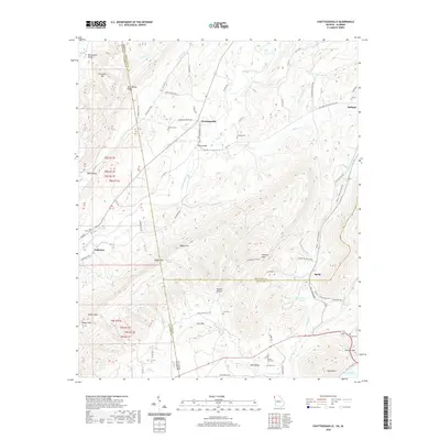 2020 Chattoogaville2020 Print · USGSThe Georgia-Alabama border comes alive in this survey of the river valleys and ridges between Chattoogaville and Fullerton. Genealogists can trace family names through several rural burial sites, including Vann Cem, Sardis Cem, and Mill Creek Cem.
 - 2020 Map of Omaha, 2020 Print
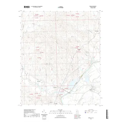 2020 Omaha2020 Print · USGSThe borderlands of Alabama and Georgia are captured here in the contemporary era, centered on the Chattahoochee River. Genealogists can trace local roots through small communities like Cottonton and Holy Trinity, or locate family burial grounds at Thomas Cem and Wesley Chapel Cem.
 - 2020 Map of Georgetown, 2020 Print
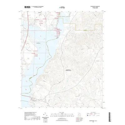 2020 Georgetown2020 Print · USGSGeorgetown and Eufaula face one another across the Chattahoochee river valley during the transition to the 2020s. Researchers can locate the Quitman County Courthouse and trace local family landmarks such as Watsons Lndg and Roberts Pond.
 - 2020 Map of Saffold, 2020 Print
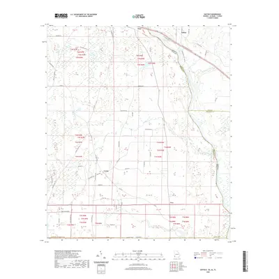 2020 Saffold2020 Print · USGSHouston County, Alabama and Early County, Georgia meet at the Chattahoochee River in this modern-era study of the river valley. Researchers can trace rural family-named roads like Paul Jeffcoat Rd and visit local landmarks like Pilgrim Church or the settlement of Crosby.
 - 2020 Map of Columbus, 2020 Print
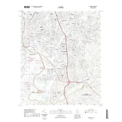 2020 Columbus2020 Print · USGSColumbus sits at the height of its modern development along the Chattahoochee River as the Georgia-Alabama border. Genealogists and local historians can locate prominent landmarks like Linwood Cem, Rose Hill, and the Muscogee County Courthouse.
 - 2020 Map of Tallapoosa North, 2020 Print
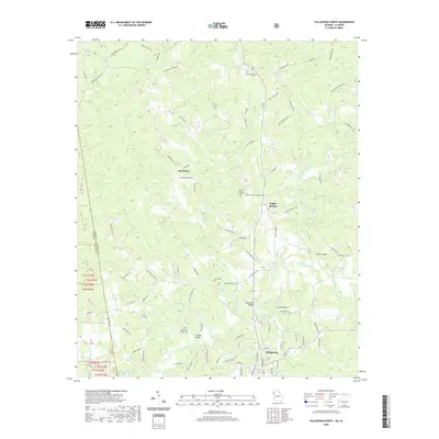 2020 Tallapoosa North2020 Print · USGSThe Haralson County countryside north of Tallapoosa is mapped here at the start of the 2020s, showing the intersection of rural life and the Tallapoosa River. Genealogists can trace family connections through numerous landmarks like Mount Zion West Cem, Poplar Springs, and Adderholds Bridge.
 - 2020 Map of Fort Gaines NE, 2020 Print
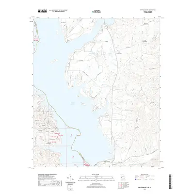 2020 Fort Gaines NE2020 Print · USGSClay County, Georgia, and the Alabama border are shown here in the contemporary era as the landscape adapts to the Walter F George Reservoir. Researchers can trace rural lineages at Mount Gilead Church Cem or navigate the crossroads at Days Crossroads and Watson Crossroads.
 - 2020 Map of Union, 2020 Print
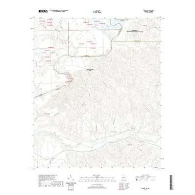 2020 Union2020 Print · USGSThe state line along the Chattahoochee River defines this rural Georgia and Alabama borderland in the early twenty-first century. Genealogists can trace family landmarks like Upper Bradley Place and remote burial grounds including Mathis Cem and Fitzgerald Cem.
 - 2020 Map of Fort Gaines, 2020 Print
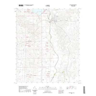 2020 Fort Gaines2020 Print · USGSThe Chattahoochee River corridor at the Georgia-Alabama border comes into focus in this contemporary study of the river valley. Genealogists and local historians can trace family sites from Fort Gaines to Shorterville, including the Rose Hill Cem and New Bethel Cem.
 - 2020 Map of Abbottsford, 2020 Print
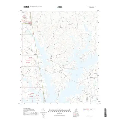 2020 Abbottsford2020 Print · USGSThe Georgia-Alabama state line and the expansive West Point Lake define this rural landscape. Genealogists and local historians can trace family roots at Garrett Family Cem, Whatley Cem, or the historical McCosh Mill site.
 - 2020 Map of New Home, 2020 Print
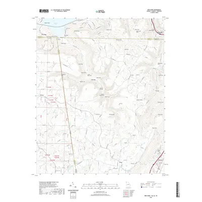 2020 New Home2020 Print · USGSThe tri-state borders of Georgia, Alabama, and Tennessee meet on the slopes of Sand Mountain in the early twenty-first century. Genealogists and local historians can trace family locations through numerous rural burial sites like State Line Cemetery and Clouse Cemetery.
 - 2020 Map of Bartletts Ferry Dam, 2020 Print
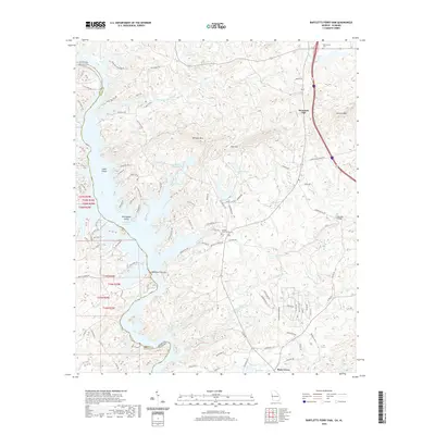 2020 Bartletts Ferry Dam2020 Print · USGSThe Georgia-Alabama borderland comes alive in this survey of the Chattahoochee River valley. Local historians can trace family roots at Antioch Cem or study the engineering of the Bartletts Ferry Dam and the waters of Lake Harding.
 - 2020 Map of Whitesville, 2020 Print
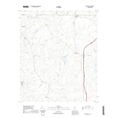 2020 Whitesville2020 Print · USGSHarris County at the start of the 2020s shows a landscape where quiet rural crossroads still define the community structure. Researchers can trace family history through numerous burial sites including Billingslea Cem, New Hope Cem, and the historic Whitesville settlement.
 - 2020 Map of Tallapoosa South, 2020 Print
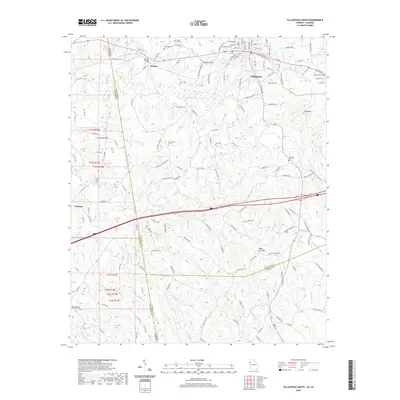 2020 Tallapoosa South2020 Print · USGSThe Tallapoosa River valley and the Alabama-Georgia state line define this region as it appeared in 2020. Local researchers can trace numerous family burial sites like Liner Cem and Clay Cem or locate Providence Church south of town.
 - 2020 Map of Bowdon West, 2020 Print
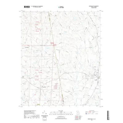 2020 Bowdon West2020 Print · USGSThe Georgia and Alabama state line bisects this quiet borderland during the late twenty-teens, connecting the communities of Bowdon and Ranburne. Genealogists can trace local legacies through numerous sites like Poplar Springs Cem, Macedonia Cem, and Corinth Cem.
 - 2020 Map of Trenton, 2020 Print
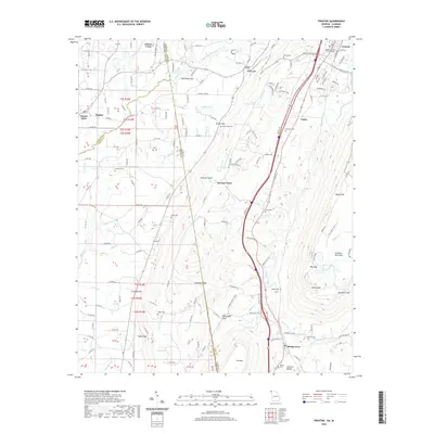 2020 Trenton2020 Print · USGSLookout Mountain and Sand Mountain tower over the Georgia-Alabama borderlands in this recent survey of the region. Genealogists can trace family names through numerous rural burial sites like Daniel Cem and Newman Cem while exploring the layout of Trenton and Rising Fawn.
 - 2020 Map of Lyerly, 2020 Print
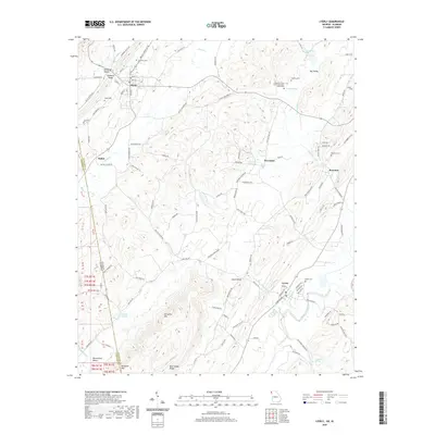 2020 Lyerly2020 Print · USGSChattooga County at the start of the 2020s shows a landscape of ridges and valleys spanning the Alabama border. Trace local history through family cemeteries and landmarks like Menlo Cem, the Pleasant Green Church Memorial Monument, and Perennial Springs.
 - 2020 Map of Bexar, 2020 Print
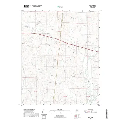 2020 Bexar2020 Print · USGSThe Mississippi-Alabama borderlands come into focus in this recent survey of the rural hills surrounding Tremont and Bexar. Genealogists can trace family heritage across nearly a dozen local burial sites, including Wigginton Cem and Gann Cem, while mapping old routes like Bexar Gin Rd.
 - 2020 Map of Elberta, 2020 Print
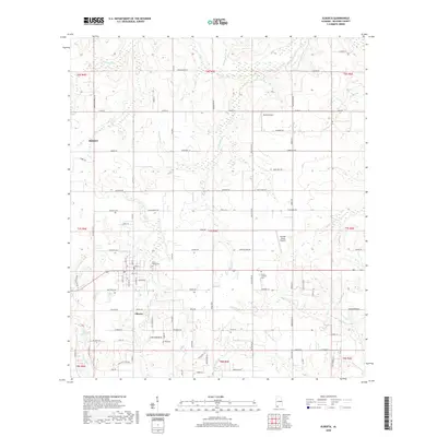 2020 Elberta2020 Print · USGSElberta and Foley are captured in Baldwin County as they were just before the 2020s, showing a landscape shaped by coastal creeks and a growing residential grid. Researchers can find family-named landmarks and historical burial sites like Saint Marks Cemetery or Fell Cemetery along the banks of Soldier Creek.
Showing maps 1-25 of 1,883
Top cities of Alabama
- Huntsville historical maps
- Birmingham historical maps
- Montgomery historical maps
- Mobile historical maps
- Tuscaloosa historical maps
- Hoover historical maps
See more
Top counties of Alabama
- Jefferson County historical maps
- Mobile County historical maps
- Madison County historical maps
- Baldwin County historical maps
- Montgomery County historical maps
- Tuscaloosa County historical maps
See more
Frequently asked questions
- What are the different types of historical maps available for Alabama?
- What is the oldest map of Alabama?
- Where can I purchase historical maps of Alabama for my home or office?
- Where can I download high-res historical maps of Alabama?
- Are there historical topographic maps available for Alabama?
- Is there historical aerial imagery available for Alabama?
- Where are historical maps of Alabama sourced from?