2010s Maps of Alabama
Explore 2,762 historic maps of Alabama from the 2010s. These maps offer a rare glimpse into what life looked like during the 2010s — showing old roads, neighborhoods, homes, and landmarks that have changed or disappeared over time.
Whether you're researching your family's past, planning a metal detecting trip, or studying how Alabama's landscape evolved across the 2010s, these high-resolution maps are a powerful tool for exploring the history of this region.
- Focus on a specific era: All maps on this page are from the 2010s, giving you a focused view of this time period.
- See what’s changed: Compare century-old streets, trails, and buildings to today's modern landscape using overlays and satellite layers.
- Research with precision: Use these maps for genealogy, historical research, land use analysis, or educational projects.
- View, download, or print: Maps are fully viewable online in high resolution, and can be downloaded or printed for your own records.
Start exploring Alabama's history through authentic maps from the 2010s. This is your window into the past.
Alabama maps
(2,762)- 2010 Map of King Cove, 2010 Print
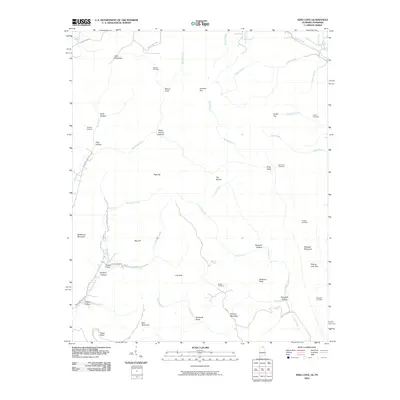 2010 King Cove2010 Print · USGSCrossing the Alabama and Tennessee line, this 2010 survey shows a landscape of deep coves and family-named hollows. Genealogists can locate several remote burial grounds, including Bethel Cemetery, Crowell Cemetery, and King Cove Cemetery.
 - 2010 Map of Ransom Stand, 2010 Print
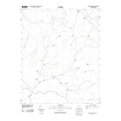 2010 Ransom Stand2010 Print · USGSThe Tennessee-Alabama borderlands come into focus in this late-2000s survey, revealing a landscape of family-named ridges and winding creek valleys. Genealogists and local historians can trace legacy sites like Stout Cemetery, Stribling Cemetery, and the Lutts Lookout Tower.
 - 2010 Map of Whitten, 2010 Print
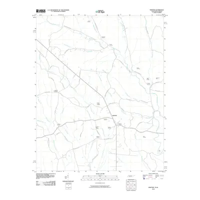 2010 Whitten2010 Print · USGSFairview and the surrounding Tennessee-Alabama borderlands are captured here in the early twenty-first century. Genealogists can trace family connections through over a dozen local burial sites, including Whitten Chapel Cemetery, Old Mount Bethel Cemetery, and Railroad Cemetery.
 - 2010 Map of Union Hill, 2010 Print
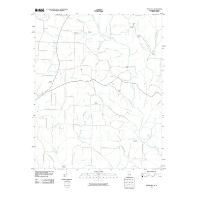 2010 Union Hill2010 Print · USGSThe Tennessee-Alabama borderlands at the start of the twenty-first century reveal a landscape of creek-side settlements and family burial grounds. Local historians can trace family roots at Union Hill Cemetery or locate the rural crossroads of Lester and Smith Hollow.
 - 2010 Map of Bonnertown, 2010 Print
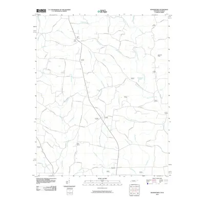 2010 Bonnertown2010 Print · USGSThe Tennessee-Alabama state line comes alive in this 2010 study of the rural borderlands near Bird Mill. Genealogists can trace family heritage through over a dozen burial grounds, including Five Points Cemetery, Center Point Cemetery, and the Five Point Post Office.
 - 2010 Map of Toney, 2010 Print
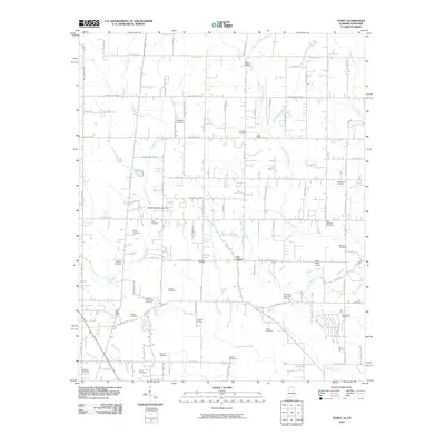 2010 Toney2010 Print · USGSMadison County on the Alabama-Tennessee border is shown here in the early twenty-first century, just as suburban growth began to meet its rural roots. Genealogists can locate dozens of family burial sites like Golightly Cemetery and landmarks such as the Toney Post Office or Scott's Orchard.
 - 2010 Map of Elkmont, 2010 Print
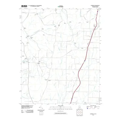 2010 Elkmont2010 Print · USGSElkmont and the surrounding Alabama-Tennessee borderlands appear in this 2010 survey as a landscape of rural homesteads and family cemeteries. Genealogists can locate legacy burial sites like Antioch Cemetery Number One and Scrouge Cemetery, while researchers trace old rail crossings at Holt Trestle.
 - 2010 Map of Saint Joseph, 2010 Print
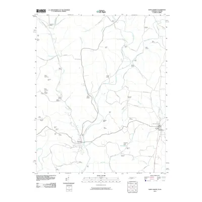 2010 Saint Joseph2010 Print · USGSThe Tennessee-Alabama borderlands come into focus in this study of the communities and mining prospects of Lawrence County. Genealogists and historians can trace numerous family-named landmarks like McKinney Mine, Chinubee Cemetery, and Bromley Ford.
 - 2010 Map of Fisk, 2010 Print
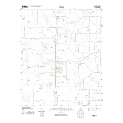 2010 Fisk2010 Print · USGSThe Alabama-Tennessee borderlands north of Huntsville come into focus during this early 21st-century survey. Genealogists can trace hundreds of family ties through a remarkable density of burial sites such as Saint Rebecca Cemetery and McGehee Cemetery.
 - 2010 Map of New Market, 2010 Print
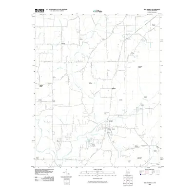 2010 New Market2010 Print · USGSMadison County, Alabama, near the Tennessee border, maintains its rural character in the early twenty-first century. Genealogists and historians can trace family locations through numerous sites like Britton Cemetery, the community of Walnut Grove, and the historic Bloucher Ford.
 - 2010 Map of Salem, 2010 Print
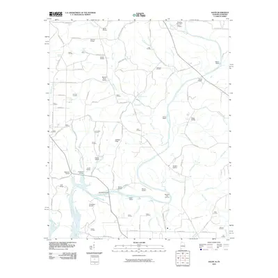 2010 Salem2010 Print · USGSThe Tennessee and Alabama borderlands are defined by the winding Elk River and its intricate network of family-named hollows in this late 2010s survey. Genealogists and local historians can trace legacy burial grounds like Grigsby Cemetery and Salem Cemetery or explore river landmarks such as Chickasaw Shoals and Buck Island.
 - 2010 Map of Ardmore, 2010 Print
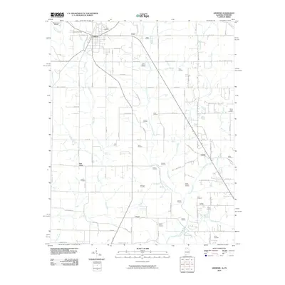 2010 Ardmore2010 Print · USGSArdmore sat at the crossroads of the Alabama-Tennessee border during this era of rural transition. Genealogists can locate dozens of family burial sites like the German Cemetery and Moore Chapel Cemetery, or trace roots near Wooley Spring.
 - 2010 Map of Cypress Inn, 2010 Print
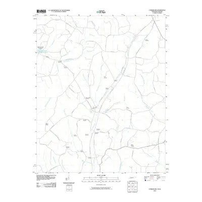 2010 Cypress Inn2010 Print · USGSCypress Inn and the surrounding Wayne County borderlands are shown here in the early twenty-first century as a landscape of winding creeks and deep family roots. Genealogists can locate numerous burial sites including Old Hayes Cemetery and Pigg Cemetery near the Cypress Inn Post Office.
 - 2010 Map of Hytop, 2010 Print
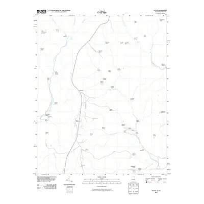 2010 Hytop2010 Print · USGSHytop and the Jackson County highlands are captured here in the early twenty-first century as a landscape of deep hollows and family homesteads. Genealogists and local historians can locate several burial sites including Knight Cemetery and Culver Cemetery near the striking Walls of Jericho.
 - 2010 Map of Estill Fork, 2010 Print
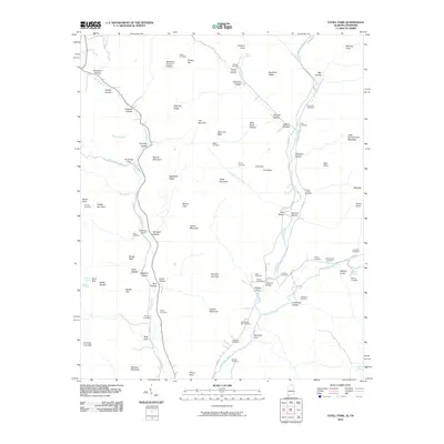 2010 Estill Fork2010 Print · USGSAlabama's mountain coves and hollows are documented here during the early twenty-first century, showing a landscape shaped by the Estill Fork and Paint Rock River. Researchers can locate dozens of family burial sites including Old Bostick Hill Cemetery, McCullough Cemetery, and Swaim Cemetery.
 - 2010 Map of Lexington, 2010 Print
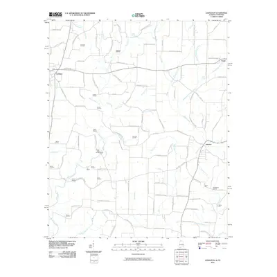 2010 Lexington2010 Print · USGSLauderdale County's rural heartland is captured here in the years following the millennium, showing a landscape of scattered family farms and creekside hollows. Researchers can locate ancestral burial grounds like Portertown Cemetery or trace historic crossings at Sledge Ford and Moody Ford.
 - 2010 Map of Yellow Creek, 2010 Print
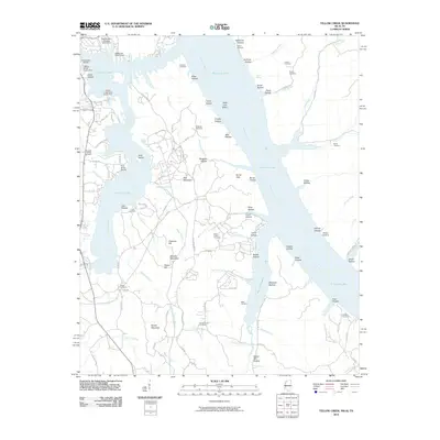 2010 Yellow Creek2010 Print · USGSTishomingo County at the turn of the decade shows a shoreline shaped by industrial transit and lakeside recreation. Genealogists and historians can trace family ties at the Popular Springs Cemetery, Patrick Cemetery, and Short Creek Cemetery.
 - 2010 Map of Bridgeport, 2010 Print
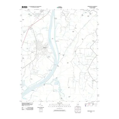 2010 Bridgeport2010 Print · USGSBridgeport and the surrounding river valley are captured here just after the turn of the millennium, showing a landscape shaped by the Tennessee River and regional agriculture. Genealogists can locate family burial sites like Kirkpatrick Cemetery and Walker Family Cemetery or trace the old river crossings at Reese Ferry.
 - 2010 Map of Doran Cove, 2010 Print
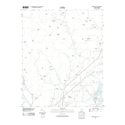 2010 Doran Cove2010 Print · USGSThe Alabama-Tennessee borderlands at the start of the 21st century reveal a landscape of deep mountain coves and valley mines. Genealogists and historians can trace numerous family burial sites like Rocky Spring Cemetery and Walker Cemetery, or locate old industrial works at Montague Mines.
 - 2010 Map of Lowryville, 2010 Print
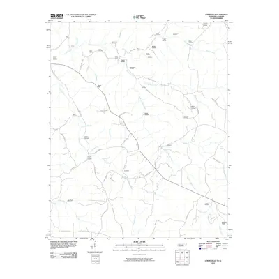 2010 Lowryville2010 Print · USGSThe Tennessee-Alabama borderlands are captured here in the early twenty-first century, showing a landscape of family-run farms and creek-bottom settlements. Researchers can trace local lineages through numerous burial sites like Faint Hope Cemetery, Petty Branch Cemetery, and Franks Store Cemetery.
 - 2010 Map of Loretto, 2010 Print
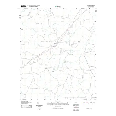 2010 Loretto2010 Print · USGSLoretto and the surrounding Lawrence County countryside are captured here at the start of the 2010s. Genealogists can trace a wealth of local history through sites like Loretto Cemetery, Smith Cemetery, and the Loretto Post Office.
 - 2010 Map of Pickwick, 2010 Print
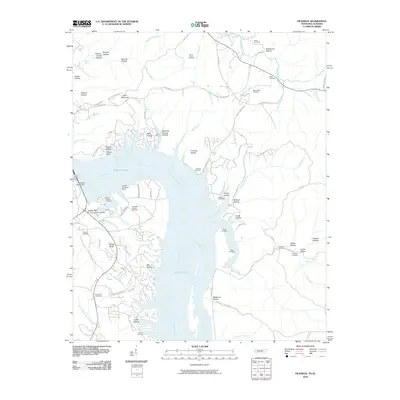 2010 Pickwick2010 Print · USGSPickwick Lake and the Tennessee River shoreline are captured here in the early twenty-first century, showing the intersection of major hydroelectric infrastructure and rural heritage. Researchers can trace local lineage through numerous documented sites like Shanghai Cemeteries, Mount Tabor Cemetery, and the Pickwick Dam Post Office.
 - 2010 Map of New Home, 2010 Print
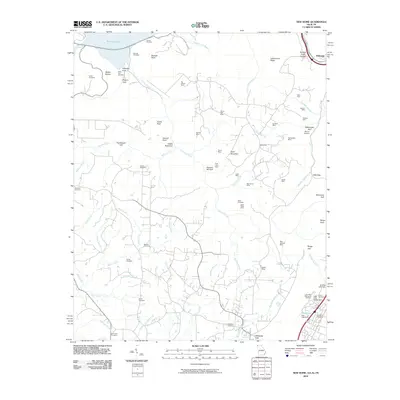 2010 New Home2010 Print · USGSThe Georgia and Tennessee borderlands in the early twenty-first century reveal a landscape shaped by coal extraction and deep gulfs. Genealogists and historians can trace numerous family burial sites like Clouse Cemetery and Reeves Cemetery alongside legacy mining operations such as the New England Mine.
 - 2010 Map of Eureka, 2010 Print
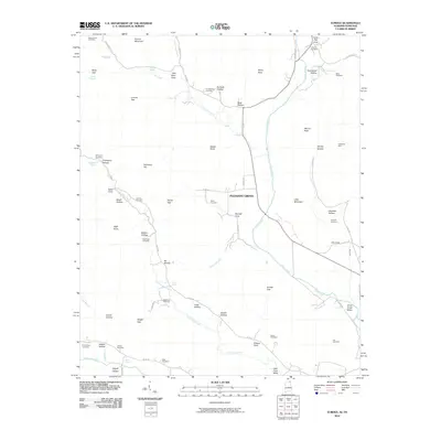 2010 Eureka2010 Print · USGSThe borderlands of Alabama and Tennessee come into focus during the early twenty-first century, centered on the community of Pleasant Grove. Genealogists and local historians can trace family lineages through numerous sites like McCrary Cemetery, Allison Cemetery, and the Sparkman Mine.
 - 2011 Map of Fort Mitchell, 2011 Print
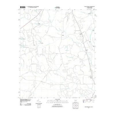 2011 Fort Mitchell2011 Print · USGSFort Mitchell and the rural reaches of Russell County are captured here in the early twenty-first century. Researchers can trace family sites near Oswichee, locate Mitchell National Cemetery, and find old river crossings like Bradley Landing along the Chattahoochee River.2 unique versions available
Showing maps 1-25 of 2,762
Top cities of Alabama
- Huntsville historical maps
- Birmingham historical maps
- Montgomery historical maps
- Mobile historical maps
- Tuscaloosa historical maps
- Hoover historical maps
See more
Top counties of Alabama
- Jefferson County historical maps
- Mobile County historical maps
- Madison County historical maps
- Baldwin County historical maps
- Montgomery County historical maps
- Tuscaloosa County historical maps
See more
Frequently asked questions
- What are the different types of historical maps available for Alabama?
- What is the oldest map of Alabama?
- Where can I purchase historical maps of Alabama for my home or office?
- Where can I download high-res historical maps of Alabama?
- Are there historical topographic maps available for Alabama?
- Is there historical aerial imagery available for Alabama?
- Where are historical maps of Alabama sourced from?