
Historical Maps of Lodi, California
What stories do these 55 old maps tell about Lodi's past? From 1894 to present day, these maps reveal the evolution of streets, neighborhoods, iconic landmarks, and natural features in stunning high-res detail. Whether you're a history enthusiast, genealogist, or professional in education, environmental work, or architecture, these maps are perfect for exploration, research, and discovery.
Discover Lodi's history through maps:
- Trace Lodi's growth: Explore earlier and latest maps and editions to uncover how the region changed over time.
- Examine technical details: Each map includes its creators, publishers, scale, dimensions, and full source information.
- Layer maps with modern tools & imagery: Compare historical maps to modern-day with high-resolution satellite imagery and detailed LiDAR layers.
- Sourced from trusted archives: Carefully preserved and digitized by institutions like the United Stated Geological Survey and the US Library of Congress.
- Access in any format: View and explore in high resolution, download for offline use, or order a museum-quality print for yourself or a loved one.
Begin your journey into Lodi's history with these remarkable must-see maps.
Lodi, CA maps
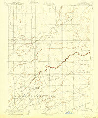
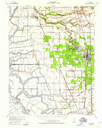
(55)- 1894 Map of Lodi
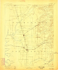
 1894 Lodi1894 Print · USGSCovers Lodi, including Sacramento, Stockton, and other nearby areas
 - 1894 Map of Lodi, 1898 Print
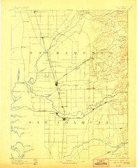
 1894 Lodi1898 Print · USGSCovers Lodi, including Sacramento, Stockton, and other nearby areas
 - 1894 Map of Lodi, 1906 Print
 1894 Lodi1906 Print · USGSCovers Lodi, including Sacramento, Stockton, and other nearby areas
 - 1908 Map of Waterloo
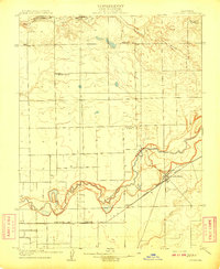
 1908 Waterloo1908 Print · USGSCovers Lodi, including Waterloo, Morada, and other nearby areas
 - 1908 Map of Lockeford
 1908 Lockeford1908 Print · USGSCovers Lodi, including Victor, Lockeford, and other nearby areas
 - 1908 Map of Lockeford, 1942 Print
 1908 Lockeford1942 Print · USGSCovers Lodi, including Victor, Lockeford, and other nearby areas
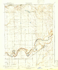
 - 1908 Map of Waterloo, 1943 Print
 1908 Waterloo1943 Print · USGSCovers Lodi, including Waterloo, Morada, and other nearby areas
 - 1910 Map of Castle
 1910 Castle1910 Print · USGSCovers Lodi, including Stockton, Lincoln Village, and other nearby areas
 - 1910 Map of Woodbridge
 1910 Woodbridge1910 Print · USGSCovers Lodi, including Galt, Acampo, and other nearby areas
 - 1910 Map of Headreach
 1910 Headreach1910 Print · USGSCovers Lodi, including Stockton, Flag City, and other nearby areas
 - 1910 Map of Woodbridge, 1939 Print
 1910 Woodbridge1939 Print · USGSCovers Lodi, including Galt, Acampo, and other nearby areas
 - 1910 Map of Headreach, 1942 Print
 1910 Headreach1942 Print · USGSCovers Lodi, including Stockton, Flag City, and other nearby areas
 - 1910 Map of Castle, 1942 Print
 1910 Castle1942 Print · USGSCovers Lodi, including Stockton, Lincoln Village, and other nearby areas
 - 1939 Map of Lodi, 1957 Print
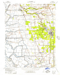 1939 Lodi1957 Print · USGSCovers Lodi, including Stockton, Galt, and other nearby areas
 - 1939 Map of Bellota, 1958 Print
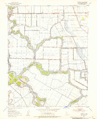
 1939 Bellota1958 Print · USGSCovers Lodi, including Clements, Dogtown, and other nearby areas
 - 1939 Map of Lodi, 1959 Print
 1939 Lodi1959 Print · USGSCovers Lodi, including Stockton, Galt, and other nearby areas
 - 1939 Map of Bellota, 1961 Print
 1939 Bellota1961 Print · USGSCovers Lodi, including Clements, Dogtown, and other nearby areas
 - 1942 Map of Bellota
 1942 Bellota1942 Print · USGSCovers Lodi, including Clements, Dogtown, and other nearby areas
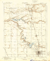
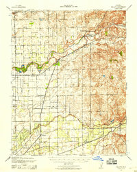
 - 1942 Map of Lodi
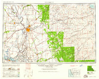
 1942 Lodi1942 Print · USGSCovers Lodi, including Stockton, Galt, and other nearby areas
 - 1947 Map of Sacramento, 1948 Print
 1947 Sacramento1948 Print · USGSCovers Lodi, including Sacramento, Stockton, and other nearby areas
 - 1947 Map of Sacramento, 1961 Print
 1947 Sacramento1961 Print · USGSCovers Lodi, including Sacramento, Stockton, and other nearby areas
 - 1948 Map of Sacramento, 1951 Print
 1948 Sacramento1951 Print · USGSCovers Lodi, including Sacramento, Stockton, and other nearby areas
 - 1952 Map of Terminous, 1953 Print
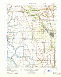
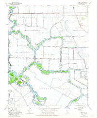
 1952 Terminous1953 Print · USGSCovers Lodi, including Stockton, Flag City, and other nearby areas
 - 1952 Map of Terminous, 1964 Print
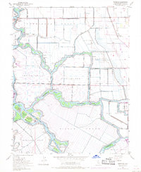
 1952 Terminous1964 Print · USGSCovers Lodi, including Stockton, Flag City, and other nearby areas
 - 1952 Map of Terminous, 1969 Print
 1952 Terminous1969 Print · USGSCovers Lodi, including Stockton, Flag City, and other nearby areas
Showing maps 1-25 of 55
Top neighborhoods in Lodi
Frequently asked questions
- What are the different types of historical maps available for Lodi?
- What is the oldest map of Lodi?
- Where can I purchase historical maps of Lodi for my home or office?
- Where can I download high-res historical maps of Lodi?
- Are there historical topographic maps available for Lodi?
- Is there historical aerial imagery available for Lodi?
- Where are historical maps of Lodi sourced from?