1980s Maps of Cheyenne County, Colorado
Explore 32 historic maps of Cheyenne County from the 1980s. These maps offer a rare glimpse into what life looked like during the 1980s — showing old roads, neighborhoods, homes, and landmarks that have changed or disappeared over time.
Whether you're researching your family's past, planning a metal detecting trip, or studying how Cheyenne County's landscape evolved across the 1980s, these high-resolution maps are a powerful tool for exploring the history of this region.
- Focus on a specific era: All maps on this page are from the 1980s, giving you a focused view of this time period.
- See what’s changed: Compare century-old streets, trails, and buildings to today's modern landscape using overlays and satellite layers.
- Research with precision: Use these maps for genealogy, historical research, land use analysis, or educational projects.
- View, download, or print: Maps are fully viewable online in high resolution, and can be downloaded or printed for your own records.
Start exploring Cheyenne County's history through authentic maps from the 1980s. This is your window into the past.
Cheyenne County, CO maps
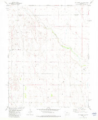
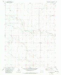
(32)- 1981 Map of Burlington
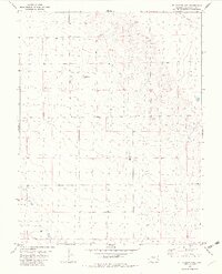
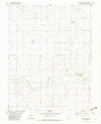
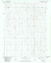
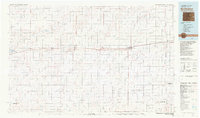 1981 Burlington1981 Print · USGSEastern Colorado and the Kansas borderland come into focus during the early 1980s, centered on the rail corridor and farming hubs. Researchers can trace the Chicago Rock Island and Pacific route through Burlington, Stratton, and Vona, or locate Mount Sunflower near the state line.
 - 1981 Map of Cheyenne Wells, 1982 Print
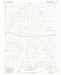
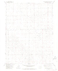
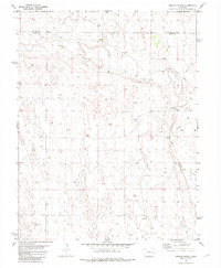
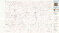 1981 Cheyenne Wells1982 Print · USGSThe High Plains of the Colorado-Kansas border come into focus during the early 1980s, centered on the railroad corridor and cattle country. Researchers can trace the path of the UNION PACIFIC through Cheyenne Wells and follow watercourses like Rush Creek or Ladder Creek.
 - 1982 Map of Cheyenne Wells NW
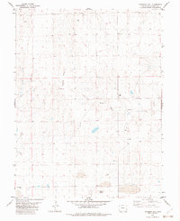
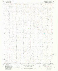
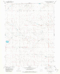 1982 Cheyenne Wells NW1982 Print · USGSCheyenne County in the early eighties shows a high-plains landscape shaped by the Smoky Hill River and an emerging energy sector. Researchers can trace the development of rural resources through locations of local Oil Wells, the Gravel Pit, and Storage Bins.
 - 1982 Map of Arapahoe NW
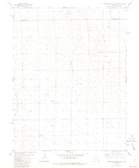
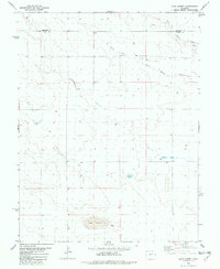
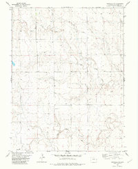 1982 Arapahoe NW1982 Print · USGSEastern Colorado land use and drainage patterns are captured here in the early eighties. Researchers can trace the course of the Smoky Hill River and locate rural landmarks like the settlement of Pelton and the local Gravel Pit.
 - 1982 Map of Kit Carson 4 SE
 1982 Kit Carson 4 SE1982 Print · USGSHigh plains ranching and water infrastructure define this Kiowa County landscape in the early eighties. Researchers can trace the path of Big Sandy Creek alongside regional utilities like a Pipeline and local Landing Strips.2 unique versions available
 - 1982 Map of Cheyenne Wells SW
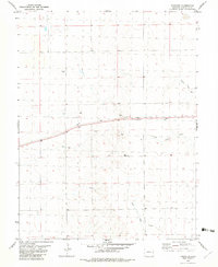
 1982 Cheyenne Wells SW1982 Print · USGSCheyenne County’s high plains are documented here in the early 1980s, showcasing a landscape of transit and resource extraction. Researchers can trace the path of the Union Pacific railroad or locate development within the Ladder Creek Oil Field.
 - 1982 Map of Sorrento
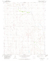
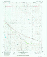 1982 Sorrento1982 Print · USGSCheyenne County ranching and rail infrastructure are the focus of this early 1980s landscape at the junction of two major creek beds. Genealogists and local historians can trace the grain-and-cattle economy through the Sorrento Grain Elevator and the School Section Windmill.
 - 1982 Map of Kit Carson
 1982 Kit Carson1982 Print · USGSThe high plains of Cheyenne County come to life in the early eighties, centered on the railroad town of Kit Carson. Trace the agricultural history of the area through Grain Elevators and water sources like Logie Lake and Sandy Creek.
 - 1982 Map of Kit Carson 4 NE
 1982 Kit Carson 4 NE1982 Print · USGSCheyenne County in the early eighties was a landscape of wide-open ranching country and intermittent drainages. Genealogists and historians can trace the rural infrastructure of the era through scattered Well sites, local Storage Bins, and the paths of South Ladder Creek and Big Sandy Creek.2 unique versions available
 - 1982 Map of Kit Carson 4 NW
 1982 Kit Carson 4 NW1982 Print · USGSCheyenne County land use in the early eighties shows a sparse but active landscape of prairie agriculture and resource extraction. Researchers can trace the path of Big Sandy Creek past several Well sites, a Drill Hole, and a buried Pipeline.2 unique versions available
 - 1982 Map of Cheyenne Wells NE
 1982 Cheyenne Wells NE1982 Print · USGSCheyenne County during the early 1980s reveals a transition from historic frontier landmarks to an era of energy development. Genealogists and local historians can trace the Old Wells (Site) near the Smoky Hill River alongside numerous Oil Wells.
 - 1982 Map of Cheyenne Wells
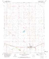
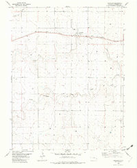
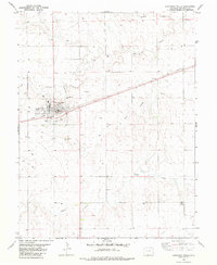 1982 Cheyenne Wells1982 Print · USGSCheyenne Wells in the early eighties shows the intersection of the High Plains prairie and the Union Pacific rail corridor. Researchers can trace the town's local landmarks including Fairview Cem, the Fairground, and the Smoky Hill River.
 - 1982 Map of Arsenic Lake
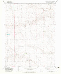
 1982 Arsenic Lake1982 Print · USGSCheyenne County's High Plains are shown in the early eighties as a landscape of energy infrastructure and historical transport routes. You can trace the path of an Old Railroad Grade or locate water sources like Arsenic Lake and Rush Creek.
 - 1982 Map of Landsman Hill
 1982 Landsman Hill1982 Print · USGSCheyenne County ranching and water infrastructure are captured in the early 1980s as the High Plains were further partitioned by property lines. Researchers can trace land management patterns through fence line markers and water sources like the Smoky Hill River, Agate Mound, and Landsman Hill.
 - 1982 Map of Firstview
 1982 Firstview1982 Print · USGSEastern Colorado ranching and rail activity are captured here in the early 1980s. Trace the path of the Union Pacific through Firstview or locate the rural Wells and Gravel Pits that supported the local economy.
 - 1982 Map of Cheyenne Wells 3 SW
 1982 Cheyenne Wells 3 SW1982 Print · USGSThe high plains of eastern Colorado are documented here in the early eighties, showing the transition between Cheyenne and Kiowa counties. Local researchers can trace early energy infrastructure through the Oil Well and Pipeline, alongside the path of Big Sandy Creek.2 unique versions available
 - 1982 Map of Dunlap Ranch
 1982 Dunlap Ranch1982 Print · USGSEastern Colorado ranching country is documented here in the early eighties, where the high plains meet the headwaters of the regional drainage system. Genealogists and historians can trace the Old Railroad Grade and the namesake Dunlap Ranch alongside the banks of Rush Creek.
 - 1982 Map of Cheyenne Wells 3 NW
 1982 Cheyenne Wells 3 NW1982 Print · USGSEastern Colorado plains life in the early eighties centers on the development of the Golden Spike Oil Field. Genealogists and researchers can trace local landmarks like the Radio Tower and South Ladder Creek.2 unique versions available
 - 1982 Map of Arsenic Lake SW
 1982 Arsenic Lake SW1982 Print · USGSThe High Plains of eastern Colorado appear as a landscape of rural industry in the early eighties. Genealogists and historians can trace the remnants of an Old Railroad Grade and locate agricultural landmarks like Storage Bins along the Kiowa Co border.
 - 1982 Map of Lake Albert
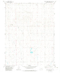
 1982 Lake Albert1982 Print · USGSEastern Colorado ranching country is captured here in the early 1980s, straddling the line between Cheyenne and Kiowa counties. Local researchers can trace the drainages of the South Fork and White Woman Creek or locate landmarks like Lake Albert and the local Gravel Pit.
 - 1982 Map of Lake Albert NW
 1982 Lake Albert NW1982 Print · USGSEastern Colorado ranching and agricultural patterns are preserved here in the early 1980s. Local researchers can trace water sources and land improvements like the Corral, White Woman Creek, and various Well sites.
 - 1982 Map of Oswald Ranch
 1982 Oswald Ranch1982 Print · USGSEastern Colorado ranching country is captured here in the early eighties, centered on the boundary of Kiowa and Cheyenne Counties. Researchers can trace land use through the location of Oswald Ranch, water sources like Springs, and infrastructure including a long Pipeline.
 - 1982 Map of Arapahoe
 1982 Arapahoe1982 Print · USGSThe high plains of Cheyenne County are captured here in the early 1980s, centered on the railroad town of Arapahoe. Trace the Union Pacific line as it cuts past Storage Bins and the seasonal drainages of Ladder Creek and the Smoky Hill River.
 - 1982 Map of Eureka Creek North
 1982 Eureka Creek North1982 Print · USGSCheyenne County land use in the early eighties is meticulously documented here, showing the relationship between topography and water. Researchers can trace cattle ranching infrastructure across the plains, noting the locations of Twin Buttes, several water Tank sites, and Eureka Creek.
 - 1982 Map of Cheyenne Wells 3 SE
 1982 Cheyenne Wells 3 SE1982 Print · USGSEastern Colorado ranching and agricultural life are preserved here in the early eighties. Genealogists and researchers can trace the vicinity of Sheridan and find specific landmarks like Storage Bins, Gravel Pits, and numerous Wells.2 unique versions available
Showing maps 1-25 of 32
Top cities of Cheyenne County
Frequently asked questions
- What are the different types of historical maps available for Cheyenne County?
- What is the oldest map of Cheyenne County?
- Where can I purchase historical maps of Cheyenne County for my home or office?
- Where can I download high-res historical maps of Cheyenne County?
- Are there historical topographic maps available for Cheyenne County?
- Is there historical aerial imagery available for Cheyenne County?
- Where are historical maps of Cheyenne County sourced from?