2000s (21st Century) Maps of Cheyenne County, Colorado
Explore 250 historic maps of Cheyenne County from the 2000s (21st Century). These maps offer a rare glimpse into what life looked like during the 2000s — showing old roads, neighborhoods, homes, and landmarks that have changed or disappeared over time.
Whether you're researching your family's past, planning a metal detecting trip, or studying how Cheyenne County's landscape evolved across the 2000s, these high-resolution maps are a powerful tool for exploring the history of this region.
- Focus on a specific era: All maps on this page are from the 2000s, giving you a focused view of this time period.
- See what’s changed: Compare century-old streets, trails, and buildings to today's modern landscape using overlays and satellite layers.
- Research with precision: Use these maps for genealogy, historical research, land use analysis, or educational projects.
- View, download, or print: Maps are fully viewable online in high resolution, and can be downloaded or printed for your own records.
Start exploring Cheyenne County's history through authentic maps from the 2000s. This is your window into the past.
Cheyenne County, CO maps
(250)- 2010 Map of Bellyache Creek, 2010 Print
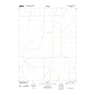 2010 Bellyache Creek2010 Print · USGSCovers Cheyenne County, including Kit Carson County, United States, and other nearby areas
 - 2010 Map of Bledsoe Ranch, 2010 Print
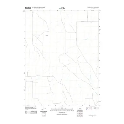 2010 Bledsoe Ranch2010 Print · USGSCovers Cheyenne County, including Wareland, Lincoln County, and other nearby areas
 - 2010 Map of Landsman Hill, 2010 Print
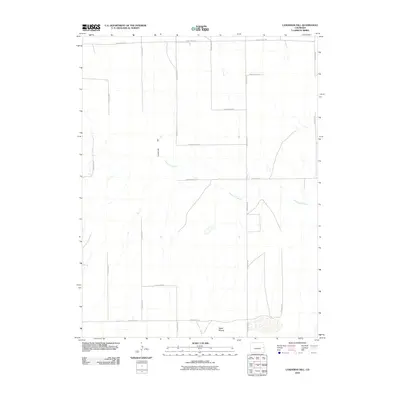 2010 Landsman Hill2010 Print · USGSCovers Cheyenne County, including United States, Colorado, and other nearby areas
 - 2010 Map of Arsenic Lake, 2010 Print
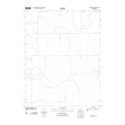 2010 Arsenic Lake2010 Print · USGSCovers Cheyenne County, including United States, Colorado, and other nearby areas
 - 2010 Map of Arapahoe NE, 2010 Print
 2010 Arapahoe NE2010 Print · USGSCovers Cheyenne County, including Weskan Township, Wallace County, and other nearby areas
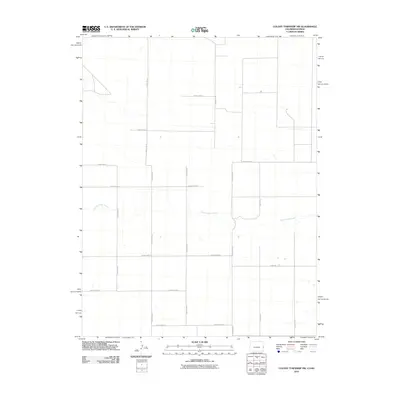
 - 2010 Map of Colony Township West, 2010 Print
 2010 Colony Township West2010 Print · USGSCovers Cheyenne County, including Tribune Township, Greeley County, and other nearby areas
 - 2010 Map of East of Lewis Lake, 2010 Print
 2010 East of Lewis Lake2010 Print · USGSCovers Cheyenne County, including United States, Colorado, and other nearby areas
 - 2010 Map of Lake Albert, 2010 Print
 2010 Lake Albert2010 Print · USGSCovers Cheyenne County, including Kiowa County, United States, and other nearby areas
 - 2010 Map of Eureka Creek North, 2010 Print
 2010 Eureka Creek North2010 Print · USGSCovers Cheyenne County, including United States, Colorado, and other nearby areas
 - 2010 Map of Arapahoe NW, 2010 Print
 2010 Arapahoe NW2010 Print · USGSCovers Cheyenne County, including United States, Colorado, and other nearby areas
 - 2010 Map of North of Brandon, 2010 Print
 2010 North of Brandon2010 Print · USGSCovers Cheyenne County, including Kiowa County, United States, and other nearby areas
 - 2010 Map of Cheyenne Wells SW, 2010 Print
 2010 Cheyenne Wells SW2010 Print · USGSCovers Cheyenne County, including United States, Colorado, and other nearby areas
 - 2010 Map of Colony Township NW, 2010 Print
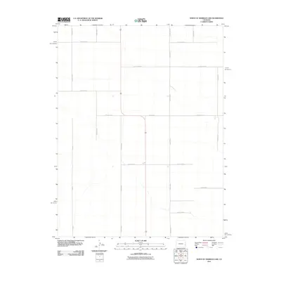
 2010 Colony Township NW2010 Print · USGSCovers Cheyenne County, including Tribune Township, Weskan Township, and other nearby areas
 - 2010 Map of Kit Carson, 2010 Print
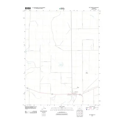 2010 Kit Carson2010 Print · USGSCovers Cheyenne County, including Kit Carson, United States, and other nearby areas
 - 2010 Map of Arapahoe, 2010 Print
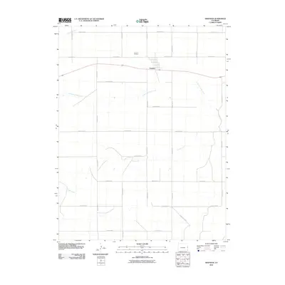 2010 Arapahoe2010 Print · USGSCovers Cheyenne County, including Arapahoe, United States, and other nearby areas
 - 2010 Map of North of Sheridan Lake, 2010 Print
 2010 North of Sheridan Lake2010 Print · USGSCovers Cheyenne County, including Kiowa County, United States, and other nearby areas
 - 2010 Map of Lake Albert NW, 2010 Print
 2010 Lake Albert NW2010 Print · USGSCovers Cheyenne County, including United States, Colorado, and other nearby areas
 - 2010 Map of Eureka Creek South, 2010 Print
 2010 Eureka Creek South2010 Print · USGSCovers Cheyenne County, including United States, Colorado, and other nearby areas
 - 2010 Map of South Ladder Creek, 2010 Print
 2010 South Ladder Creek2010 Print · USGSCovers Cheyenne County, including United States, Colorado, and other nearby areas
 - 2010 Map of Cheyenne Wells NW, 2010 Print
 2010 Cheyenne Wells NW2010 Print · USGSCovers Cheyenne County, including United States, Colorado, and other nearby areas
 - 2010 Map of North of Chivington, 2010 Print
 2010 North of Chivington2010 Print · USGSCovers Cheyenne County, including Kiowa County, United States, and other nearby areas
 - 2010 Map of Arapahoe SE, 2010 Print
 2010 Arapahoe SE2010 Print · USGSCovers Cheyenne County, including Weskan Township, Wallace County, and other nearby areas
 - 2010 Map of South of Cheyenne Wells, 2010 Print
 2010 South of Cheyenne Wells2010 Print · USGSCovers Cheyenne County, including United States, Colorado, and other nearby areas
 - 2010 Map of Dunlap Ranch, 2010 Print
 2010 Dunlap Ranch2010 Print · USGSCovers Cheyenne County, including Kiowa County, United States, and other nearby areas
 - 2010 Map of Lewis Lake, 2010 Print
 2010 Lewis Lake2010 Print · USGSCovers Cheyenne County, including United States, Colorado, and other nearby areas
Showing maps 1-25 of 250
Top cities of Cheyenne County
Frequently asked questions
- What are the different types of historical maps available for Cheyenne County?
- What is the oldest map of Cheyenne County?
- Where can I purchase historical maps of Cheyenne County for my home or office?
- Where can I download high-res historical maps of Cheyenne County?
- Are there historical topographic maps available for Cheyenne County?
- Is there historical aerial imagery available for Cheyenne County?
- Where are historical maps of Cheyenne County sourced from?