2000s (21st Century) Maps of Garfield County, Colorado
Explore 417 historic maps of Garfield County from the 2000s (21st Century). These maps offer a rare glimpse into what life looked like during the 2000s — showing old roads, neighborhoods, homes, and landmarks that have changed or disappeared over time.
Whether you're researching your family's past, planning a metal detecting trip, or studying how Garfield County's landscape evolved across the 2000s, these high-resolution maps are a powerful tool for exploring the history of this region.
- Focus on a specific era: All maps on this page are from the 2000s, giving you a focused view of this time period.
- See what’s changed: Compare century-old streets, trails, and buildings to today's modern landscape using overlays and satellite layers.
- Research with precision: Use these maps for genealogy, historical research, land use analysis, or educational projects.
- View, download, or print: Maps are fully viewable online in high resolution, and can be downloaded or printed for your own records.
Start exploring Garfield County's history through authentic maps from the 2000s. This is your window into the past.
Garfield County, CO maps
(417)- 2000 Map of Devils Causeway, 2004 Print
 2000 Devils Causeway2004 Print · USGSThe Colorado high country at the turn of the millennium is revealed in this detailed study of the border between Rio Blanco and Garfield counties. Researchers can trace the dramatic terrain of the Chinese Wall, find remote waters like Deep Lake, and locate the iconic Devils Causeway ridge.
 - 2000 Map of Orno Peak, 2004 Print
 2000 Orno Peak2004 Print · USGSGarfield and Routt counties are shown at the turn of the millennium, defined by the high plateaus and alpine drainages of the Flat Tops Wilderness. Researchers can trace historic routes like the Ute Trail and locate remote landmarks like Orno Peak and Yamcolo Reservoir.
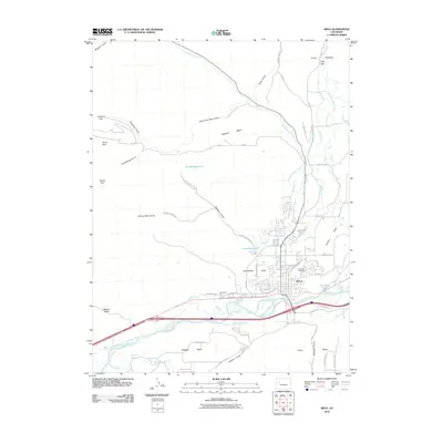
 - 2010 Map of New Castle, 2010 Print
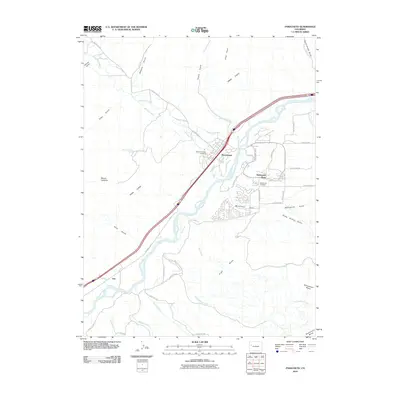
 2010 New Castle2010 Print · USGSCovers Garfield County, including New Castle, Silt, and other nearby areas
 - 2010 Map of Rifle, 2010 Print
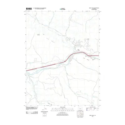
 2010 Rifle2010 Print · USGSCovers Garfield County, including Rifle, United States, and other nearby areas
 - 2010 Map of Carbondale, 2010 Print
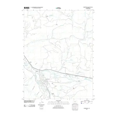 2010 Carbondale2010 Print · USGSCovers Garfield County, including Carbondale, Satank, and other nearby areas
 - 2010 Map of Storm King Mountain, 2010 Print
 2010 Storm King Mountain2010 Print · USGSCovers Garfield County, including Glenwood Springs, Chacra, and other nearby areas
 - 2010 Map of Anvil Points, 2010 Print
 2010 Anvil Points2010 Print · USGSCovers Garfield County, including Anvil Points, United States, and other nearby areas
 - 2010 Map of Rio Blanco, 2010 Print
 2010 Rio Blanco2010 Print · USGSCovers Garfield County, including Rio Blanco County, United States, and other nearby areas
 - 2010 Map of Silt, 2010 Print
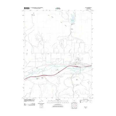 2010 Silt2010 Print · USGSCovers Garfield County, including Rifle, Silt, and other nearby areas
 - 2010 Map of Desert Gulch, 2010 Print
 2010 Desert Gulch2010 Print · USGSCovers Garfield County, including United States, Colorado, and other nearby areas
 - 2010 Map of Red Pinnacle, 2010 Print
 2010 Red Pinnacle2010 Print · USGSCovers Garfield County, including United States, Colorado, and other nearby areas
 - 2010 Map of Highline Lake, 2010 Print
 2010 Highline Lake2010 Print · USGSCovers Garfield County, including Mesa County, United States, and other nearby areas
 - 2010 Map of Carbonera, 2010 Print
 2010 Carbonera2010 Print · USGSCovers Garfield County, including Carbonera, United States, and other nearby areas
 - 2010 Map of Parachute, 2010 Print
 2010 Parachute2010 Print · USGSCovers Garfield County, including Parachute, Battlement Mesa, and other nearby areas
 - 2010 Map of Calf Canyon, 2010 Print
 2010 Calf Canyon2010 Print · USGSCovers Garfield County, including United States, Colorado, and other nearby areas
 - 2010 Map of Middle Dry Fork, 2010 Print
 2010 Middle Dry Fork2010 Print · USGSCovers Garfield County, including United States, Colorado, and other nearby areas
 - 2010 Map of Garvey Canyon, 2010 Print
 2010 Garvey Canyon2010 Print · USGSCovers Garfield County, including United States, Colorado, and other nearby areas
 - 2010 Map of Ruby Lee Reservoir, 2010 Print
 2010 Ruby Lee Reservoir2010 Print · USGSCovers Garfield County, including Mesa County, United States, and other nearby areas
 - 2010 Map of Forked Gulch, 2010 Print
 2010 Forked Gulch2010 Print · USGSCovers Garfield County, including United States, Colorado, and other nearby areas
 - 2010 Map of Badger Wash, 2010 Print
 2010 Badger Wash2010 Print · USGSCovers Garfield County, including Mesa County, United States, and other nearby areas
 - 2010 Map of Corcoran Peak, 2010 Print
 2010 Corcoran Peak2010 Print · USGSCovers Garfield County, including Mesa County, United States, and other nearby areas
 - 2010 Map of Mount Blaine, 2010 Print
 2010 Mount Blaine2010 Print · USGSCovers Garfield County, including United States, Colorado, and other nearby areas
 - 2010 Map of Baxter Pass, 2010 Print
 2010 Baxter Pass2010 Print · USGSCovers Garfield County, including Atchee, United States, and other nearby areas
 - 2010 Map of The Saddle, 2010 Print
 2010 The Saddle2010 Print · USGSCovers Garfield County, including United States, Colorado, and other nearby areas
 - 2010 Map of Douglas Pass, 2010 Print
 2010 Douglas Pass2010 Print · USGSCovers Garfield County, including United States, Colorado, and other nearby areas
Showing maps 1-25 of 417
Top cities of Garfield County
- Glenwood Springs historical maps
- Rifle historical maps
- Carbondale historical maps
- New Castle historical maps
- Silt historical maps
- Parachute historical maps
Frequently asked questions
- What are the different types of historical maps available for Garfield County?
- What is the oldest map of Garfield County?
- Where can I purchase historical maps of Garfield County for my home or office?
- Where can I download high-res historical maps of Garfield County?
- Are there historical topographic maps available for Garfield County?
- Is there historical aerial imagery available for Garfield County?
- Where are historical maps of Garfield County sourced from?