2000s (21st Century) Maps of Pitkin County, Colorado
Explore 144 historic maps of Pitkin County from the 2000s (21st Century). These maps offer a rare glimpse into what life looked like during the 2000s — showing old roads, neighborhoods, homes, and landmarks that have changed or disappeared over time.
Whether you're researching your family's past, planning a metal detecting trip, or studying how Pitkin County's landscape evolved across the 2000s, these high-resolution maps are a powerful tool for exploring the history of this region.
- Focus on a specific era: All maps on this page are from the 2000s, giving you a focused view of this time period.
- See what’s changed: Compare century-old streets, trails, and buildings to today's modern landscape using overlays and satellite layers.
- Research with precision: Use these maps for genealogy, historical research, land use analysis, or educational projects.
- View, download, or print: Maps are fully viewable online in high resolution, and can be downloaded or printed for your own records.
Start exploring Pitkin County's history through authentic maps from the 2000s. This is your window into the past.
Pitkin County, CO maps
(144)- 2001 Map of Chair Mountain, 2004 Print
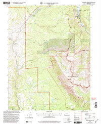 2001 Chair Mountain2004 Print · USGSGunnison and Pitkin counties appear at the turn of the millennium as a landscape of high summits and working ranch lands. Researchers can trace land use through Jacobs Ranch, the Twin Forks Ditch, and mining Prospects near Chair Mountain.
 - 2001 Map of Gothic, 2004 Print
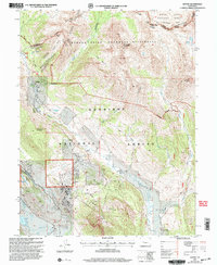 2001 Gothic2004 Print · USGSThe high Elk Mountains of Gunnison County come into focus during the early twenty-first century as recreation and preservation intersect. Researchers can trace the layout of the Gothic settlement, locate the local Cem, and explore the backcountry reaches of Queen Basin.
 - 2001 Map of Elk Knob, 2004 Print
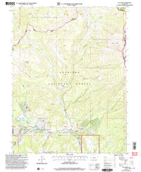 2001 Elk Knob2004 Print · USGSGunnison and Delta counties at the dawn of the 2000s are shown as a landscape of national forests and high basins. Researchers can trace land-use patterns at Tolan Place or follow the water from Stove Basin down to Muddy Creek.
 - 2001 Map of Pearl Pass, 2004 Print
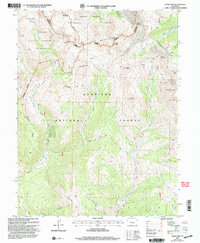 2001 Pearl Pass2004 Print · USGSThe Elk Mountains and Pearl Pass are captured here in the early 2000s, showing a landscape defined by high-altitude mining legacy and wilderness boundaries. Researchers can trace historic access routes like the Block and Tackle Trail or locate remote Mines near Carbonate Hill.
 - 2011 Map of Ruedi Reservoir, 2011 Print
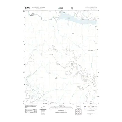 2011 Ruedi Reservoir2011 Print · USGSThe Colorado high country near the Eagle-Pitkin border is captured here in the early twenty-first century, centered on the waters of Ruedi Reservoir. Researchers can trace remote mining history at the Company Mine or find mountain landmarks like Lenado and Vagneur Mountain.
 - 2011 Map of Nast, 2011 Print
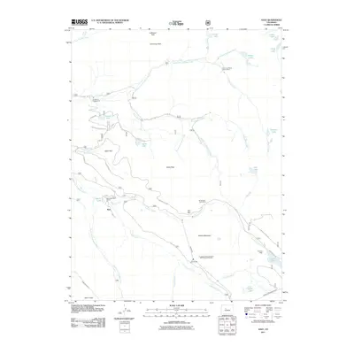 2011 Nast2011 Print · USGSThe Fryingpan River headwaters are shown in the early twenty-first century, revealing a landscape defined by significant water engineering and alpine mining. Trace the complex routes of the Nast Tunnel, Ivanhoe Dam, and old workings at the Cunningham Tunnel Mine.
 - 2011 Map of Aspen, 2011 Print
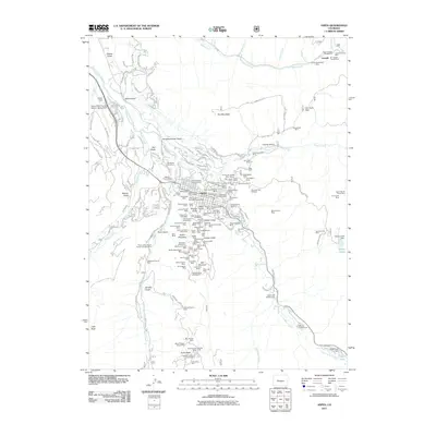 2011 Aspen2011 Print · USGSAspen and the surrounding peaks appear in the early twenty-first century as a landscape still defined by its silver mining roots. Researchers can trace dozens of historic claims like the Mollie Gibson Shaft, Saint Joe Mine, and the settlement of Lenado.
 - 2011 Map of Mount Massive, 2011 Print
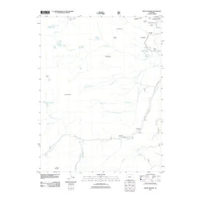 2011 Mount Massive2011 Print · USGSThe high peaks and mining claims of Colorado's Sawatch Range are captured here during the early twenty-first century. Genealogists and researchers can trace the historical footprint of operations like the Mexican Mine, Little Major Mine, and the Leadville National Fish Hatchery.
 - 2011 Map of Mount Champion, 2011 Print
 2011 Mount Champion2011 Print · USGSHigh in the Colorado Rockies during the early twenty-first century, this area shows the intersection of alpine wilderness and industrial infrastructure. Researchers can trace the legacy of high-altitude extraction at the Champion Mill and Eureka Mine, or locate engineering landmarks like the South Fork Tunnel.
 - 2011 Map of Maroon Bells, 2011 Print
 2011 Maroon Bells2011 Print · USGSPitkin County’s high peaks and alpine basins are captured in the early twenty-first century as the area continued to serve as a premier wilderness destination. Trace iconic landmarks and high-altitude trails from Maroon Bells and Pyramid Peak to the waters of Conundrum Hot Springs.
 - 2011 Map of Woody Creek, 2011 Print
 2011 Woody Creek2011 Print · USGSThe Roaring Fork valley appears at a peak of modern settlement during this early 21st-century survey. Genealogists and historians can trace family-named sites like the Wheatley Cemetery or locate specific mining history at the Big Buck Mine and Panco Manganese Deposits.
 - 2011 Map of New York Peak, 2011 Print
 2011 New York Peak2011 Print · USGSPitkin County high country in the early twenty-first century reveals a landscape defined by alpine mining and sophisticated water engineering. Trace high-altitude extraction at the Independence Number One Mine or follow the path of the New York Collection Canal.
 - 2011 Map of Thimble Rock, 2011 Print
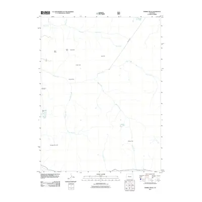 2011 Thimble Rock2011 Print · USGSThe high country of Pitkin County comes into focus in this early twenty-first-century survey, showcasing the intersection of alpine wilderness and mining history. Researchers can trace historic extraction routes at the Tower Durant Tunnel Mine or locate high-altitude landmarks like Thimble Rock and Warren Lake Dam.
 - 2011 Map of Meredith, 2011 Print
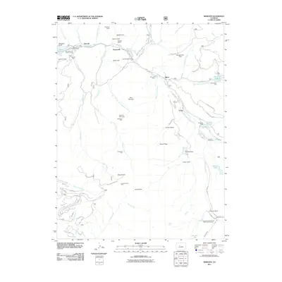 2011 Meredith2011 Print · USGSPitkin County’s high country is captured here during a period of transition between historic mining and modern water management. Genealogists and historians can trace the foundations of Meredith and Thomasville or locate the historic Wellington Mine and Diamond J Ranch.
 - 2011 Map of Highland Peak, 2011 Print
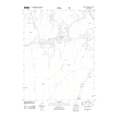 2011 Highland Peak2011 Print · USGSSnowmass Village and the surrounding Pitkin County peaks are shown here at a peak of modern alpine development and water management. You can trace the historic Mayflower Mine, locate the series of Maroon Creek campgrounds, and study the complex network of mountain irrigation ditches like the Wiese Upper Ditch.
 - 2011 Map of Homestake Reservoir, 2011 Print
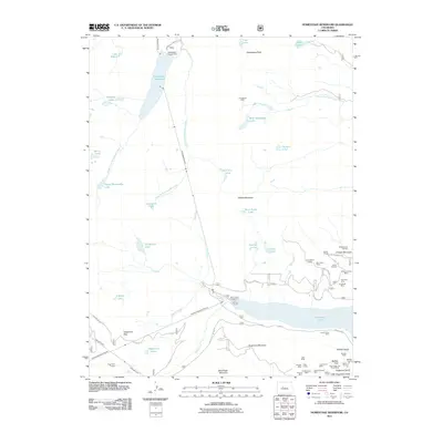 2011 Homestake Reservoir2011 Print · USGSColorado's high Sawatch Range is documented here in a period of advanced water engineering and deep-rooted mining history. You can trace the complex tunnel systems like the Charles H Boustead Tunnel or locate historic mineral claims including the Turquoise Chief Mine and Saint Kevin Shaft.
 - 2011 Map of Pieplant, 2011 Print
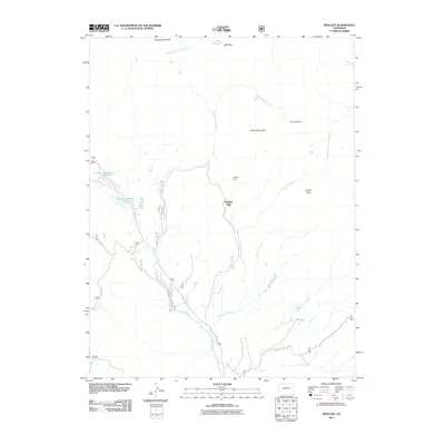 2011 Pieplant2011 Print · USGSHigh in the Colorado Rockies during the early twenty-first century, this survey tracks the legacy of mountain industry and high-altitude passage. Researchers can trace the footprint of the Pieplant Mine, find Church Basin, and follow old routes to Lake Pass.
 - 2011 Map of Gothic, 2011 Print
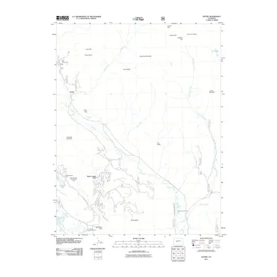 2011 Gothic2011 Print · USGSGunnison County's high-country landscape is documented here during a period of modern mountain development and preserved wilderness. Researchers can trace historic local sites like the Horace Porter Mine, the Crested Butte Cemetery, and the settlement of Gothic.
 - 2011 Map of Pearl Pass, 2011 Print
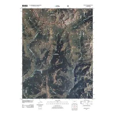 2011 Pearl Pass2011 Print · USGSThe high peaks and deep drainage basins of the Colorado Rockies are documented here just after the millennium. Geologists and local historians can trace mountain mineral history through sites like Climax Mine, Italian Mountain Mine, and Pearl Pass.
 - 2011 Map of Elk Knob, 2011 Print
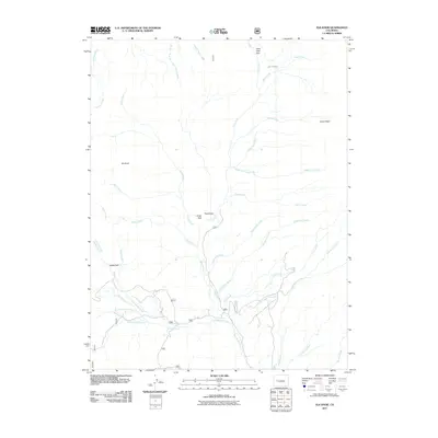 2011 Elk Knob2011 Print · USGSHigh-altitude parks and intricate water networks define this Mesa County landscape as it appeared in 2011. Genealogists and researchers can trace local landmarks and drainage systems like Battle Park, Stove Basin, and the Clear Fork Ditch.
 - 2011 Map of Chair Mountain, 2011 Print
 2011 Chair Mountain2011 Print · USGSThe Elk Mountains high country comes into focus in this early twenty-first-century survey of the rugged area near the Pitkin and Gunnison county line. Researchers can trace historic industrial sites like the Tuscarora Mine and ranching landmarks such as Volk Ranch.
 - 2011 Map of Placita, 2011 Print
 2011 Placita2011 Print · USGSHigh mountain mining and the upper reaches of the Crystal River characterize this Pitkin County landscape in the early 2000s. Researchers can trace the legacy of resource extraction through named sites like the Coal Basin Mine, Lincoln Pride Mine, and the settlement at Placita.
 - 2011 Map of Snowmass Mountain, 2011 Print
 2011 Snowmass Mountain2011 Print · USGSThe high peaks and mining claims of Gunnison County are captured in this modern survey of the western Elk Mountains. Researchers can trace the history of hard-rock mining through sites like the Lead King Mine, Lucky Boy Mine, and the settlement of Crystal.
 - 2011 Map of Stony Ridge, 2011 Print
 2011 Stony Ridge2011 Print · USGSGarfield County's mining and ranching history is preserved here in the early twenty-first century. Researchers can trace the legacy of mountain industry through the Marion Mine, Union Mine, and the isolated Yank Creek Cow Camp.
 - 2011 Map of Quaker Mesa, 2011 Print
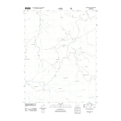 2011 Quaker Mesa2011 Print · USGSHigh in Mesa County during the early 2010s, this landscape reveals the intricate water systems and remote mountain landmarks of the Western Slope. Researchers can trace historic water management and land access through Thompson Creek Ditch, Haystack Gate, and Quaker Mesa.
Showing maps 1-25 of 144
Top cities of Pitkin County
Frequently asked questions
- What are the different types of historical maps available for Pitkin County?
- What is the oldest map of Pitkin County?
- Where can I purchase historical maps of Pitkin County for my home or office?
- Where can I download high-res historical maps of Pitkin County?
- Are there historical topographic maps available for Pitkin County?
- Is there historical aerial imagery available for Pitkin County?
- Where are historical maps of Pitkin County sourced from?