2010s Maps of Mississippi
Explore 2,576 historic maps of Mississippi from the 2010s. These maps offer a rare glimpse into what life looked like during the 2010s — showing old roads, neighborhoods, homes, and landmarks that have changed or disappeared over time.
Whether you're researching your family's past, planning a metal detecting trip, or studying how Mississippi's landscape evolved across the 2010s, these high-resolution maps are a powerful tool for exploring the history of this region.
- Focus on a specific era: All maps on this page are from the 2010s, giving you a focused view of this time period.
- See what’s changed: Compare century-old streets, trails, and buildings to today's modern landscape using overlays and satellite layers.
- Research with precision: Use these maps for genealogy, historical research, land use analysis, or educational projects.
- View, download, or print: Maps are fully viewable online in high resolution, and can be downloaded or printed for your own records.
Start exploring Mississippi's history through authentic maps from the 2010s. This is your window into the past.
Mississippi maps
(2,576)- 2010 Map of Doskie, 2010 Print
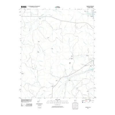 2010 Doskie2010 Print · USGSThe Mississippi and Tennessee state line meets along the upper reaches of Yellow Creek in this 2010 survey. Genealogists and local historians can trace family locations through numerous sites like Lambs Chapel Cemetery, Mulberry Cemetery, and Greenwater Marina.
 - 2010 Map of Slayden, 2010 Print
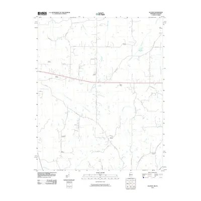 2010 Slayden2010 Print · USGSNorthern Mississippi's rural landscape at the start of the decade is defined by a deep network of ancestral burial grounds and winding creeks. Genealogists can trace family connections through sites like Isom Chapel Cemetery, Gatewood Cemetery, and Mill Pond.
 - 2010 Map of Kossuth North, 2010 Print
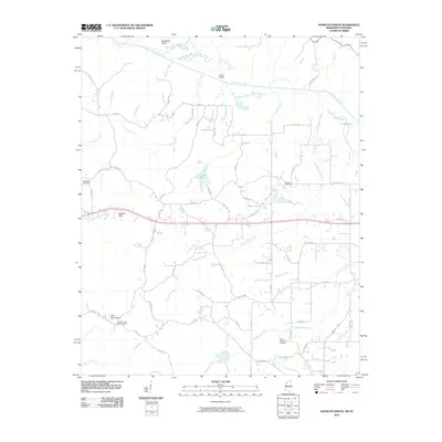 2010 Kossuth North2010 Print · USGSThe borderlands of Mississippi and Tennessee are captured here in the early twenty-first century, showing a rural landscape shaped by the Tuscumbia River. Researchers can trace ancestral sites at Bethlehem Cemetery and Mount Pleasant Cemetery, or locate the Pine Mountain Lookout Tower.
 - 2010 Map of Chalybeate, 2010 Print
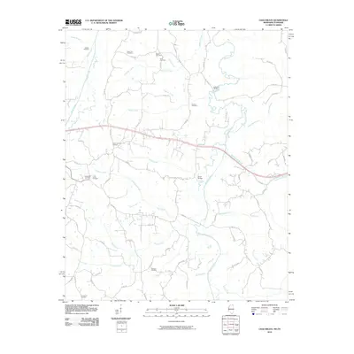 2010 Chalybeate2010 Print · USGSThe rural borders of Tippah County and the Tennessee state line are captured here as they appeared in 2010. Genealogists can trace family footprints across several historic sites, including Chalybeate Cemetery, Lookout Bridge, and the Union Cemetery.
 - 2010 Map of Byhalia NW, 2010 Print
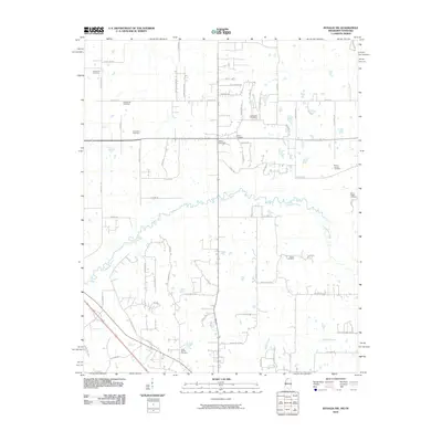 2010 Byhalia NW2010 Print · USGSSpanning the border between Mississippi and Tennessee in 2010, this area shows a landscape defined by its rural cemeteries and the winding Coldwater River. Genealogists can trace family heritage at the Shiloh Cemetery, Mount Carmel Cemetery, and Barton Cemetery.
 - 2010 Map of Lamar, 2010 Print
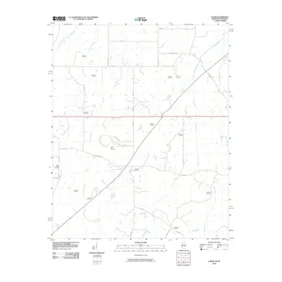 2010 Lamar2010 Print · USGSLamar and its surrounding borderlands are captured here in the early twenty-first century as a landscape of rural homesteads and family farms. Researchers can locate nearly a dozen local burial sites including Old Lamar Cemetery, Franklin Cemetery, and Rice Chapel Cemetery.
 - 2010 Map of Horn Lake, 2010 Print
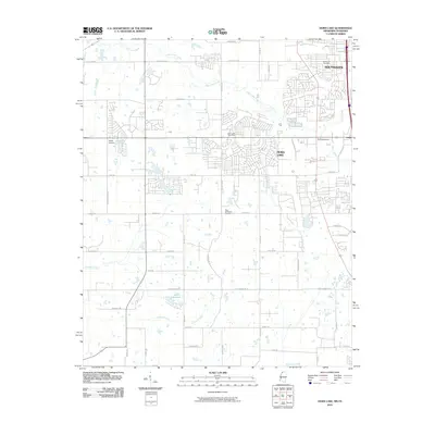 2010 Horn Lake2010 Print · USGSThe Mississippi-Tennessee borderlands appear in a period of suburban expansion during the early 2000s. Genealogists and local historians can trace the growth of Southaven and Horn Lake, or locate specific sites like New Bethlehem Cemetery and Bullfrog Corner.
 - 2010 Map of Olive Branch, 2010 Print
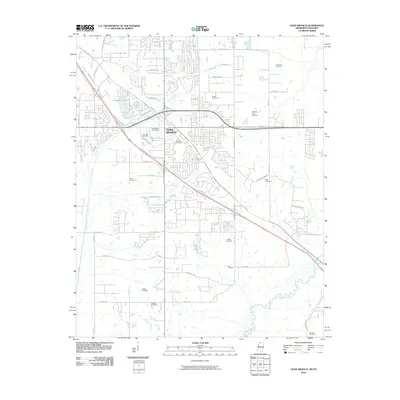 2010 Olive Branch2010 Print · USGSOlive Branch and its surrounding hillsides are shown at a peak of modern growth just south of the Tennessee border. Genealogists can locate over a dozen burial sites including Clements Cemetery, Wiggins Cemetery, and Castleberry Cemetery.
 - 2010 Map of Kendrick, 2010 Print
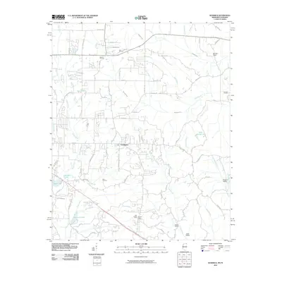 2010 Kendrick2010 Print · USGSNortheast Mississippi and the Tennessee borderlands are captured here at the start of the 2010s. Researchers can trace family history through several local burial sites like Marvin Cemetery and Wyly Cemetery or locate landmarks such as the Glen Lookout Tower.
 - 2010 Map of Mount Pleasant, 2010 Print
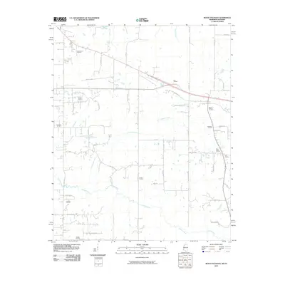 2010 Mount Pleasant2010 Print · USGSFayette County at the turn of the twenty-first century remains a landscape of quiet river bottoms and deep-rooted family homesteads. Genealogists and local historians can trace legacy sites like Mount Pleasant Cemetery and the Goldwater River.
 - 2010 Map of Corinth, 2010 Print
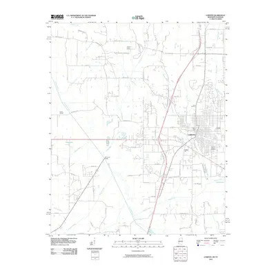 2010 Corinth2010 Print · USGSCorinth and the surrounding Alcorn County countryside are captured here in the first decade of the millennium. Local researchers can locate family plots in the Corinth National Cemetery or trace landmarks along the Tuscumbia River and Little Zion Rd.
 - 2010 Map of Pleasant Hill, 2010 Print
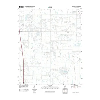 2010 Pleasant Hill2010 Print · USGSCrossing the state line between Tennessee and Mississippi, this area was undergoing rapid residential growth at the start of the decade. Genealogists can trace family heritage at Mount Olive Cemetery, Shiloh Cemetery, and New Hope Cemetery.
 - 2010 Map of Yellow Creek, 2010 Print
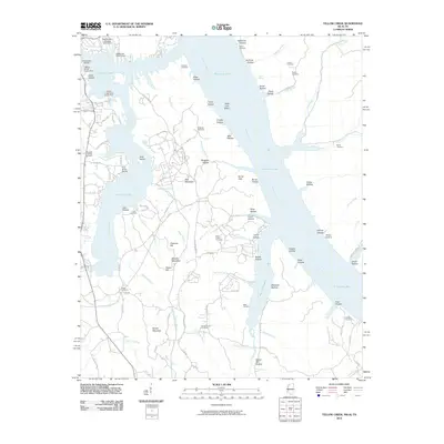 2010 Yellow Creek2010 Print · USGSTishomingo County at the turn of the decade shows a shoreline shaped by industrial transit and lakeside recreation. Genealogists and historians can trace family ties at the Popular Springs Cemetery, Patrick Cemetery, and Short Creek Cemetery.
 - 2010 Map of Canaan, 2010 Print
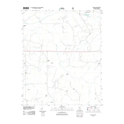 2010 Canaan2010 Print · USGSBenton County, Mississippi, is shown at the start of the decade, where the Wolf River shapes a landscape of scattered settlements and rural crossroads. Researchers can trace family history through a high concentration of burial sites including Samuel Chapel Cemetery and McKinzie Cemetery.
 - 2010 Map of Camp Hill, 2010 Print
 2010 Camp Hill2010 Print · USGSBenton County at the Tennessee border remains a landscape of rural settlements and ancestral burial grounds in the early twenty-first century. Genealogists can trace family locations through numerous sites like Zion Chapel Cemetery, the Benton Lookout Tower, and Hamilton Cemetery.
 - 2010 Map of Walnut, 2010 Print
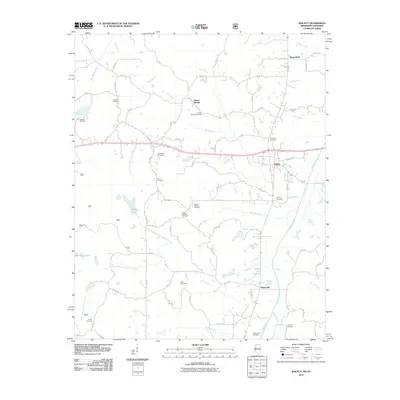 2010 Walnut2010 Print · USGSNorthern Mississippi at the turn of the decade shows a landscape where community history remains centered on rural cemeteries and crossroads settlements. Researchers can trace family lines and land patterns through sites like the Biloxi National Cemetery, Mount Moriah, and the New Salem Cemetery.
 - 2011 Map of Beulah, 2011 Print
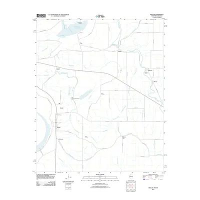 2011 Beulah2011 Print · USGSThe Bolivar County Delta is captured in the early 2000s, showing a landscape of aquaculture and historic crossroads. Genealogists can locate family burial sites at Scotland or Waldon and trace the rural hamlets of Beulah, Christmas, and Mound City.
 - 2011 Map of Gunnison, 2011 Print
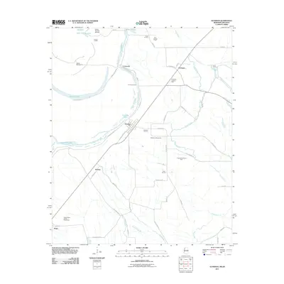 2011 Gunnison2011 Print · USGSThe Bolivar County Delta was a landscape of river-bend settlements and vast agricultural fields in the early twenty-first century. Genealogists and historians can trace the locations of family landmarks like Person Cemetery, the old landing at Carsons Landing, and the community of Perthshire.
 - 2011 Map of Hughes, 2011 Print
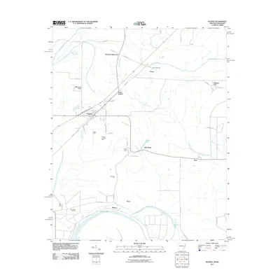 2011 Hughes2011 Print · USGSEastern Arkansas at the turn of the decade reveals a landscape of large-scale farming and bayou drainage centered on Hughes. Researchers can trace old family holdings like Davis Biggs Farm and Belle Meade or locate historical sites such as Saint Marys Cemetery.
 - 2011 Map of Tunica, 2011 Print
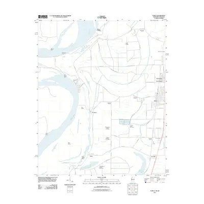 2011 Tunica2011 Print · USGSTunica County at the start of the twenty-first century shows a landscape defined by the Mississippi River and a specialized aquaculture economy. Researchers can trace family roots at Mount Nebo Cemetery or explore the settlements of Austin and Evansville.
 - 2011 Map of Friars Point, 2011 Print
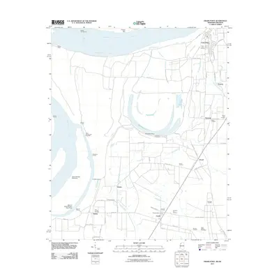 2011 Friars Point2011 Print · USGSMississippi River landings and Delta settlements define this Coahoma County landscape in the early twenty-first century. Genealogists and local researchers can trace family sites at Zion Traveler Cemetery, Humber, and Moten Cemetery while mapping the old river network.
 - 2011 Map of Elaine, 2011 Print
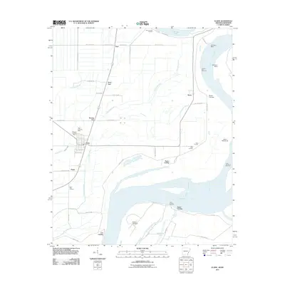 2011 Elaine2011 Print · USGSPhillips County sits at the edge of the great river in the early twenty-first century, showing a landscape shaped by water and work. Researchers can trace historic river access at Fair Landing or locate family sites like Saint Claire Cemetery and Morning Star.
 - 2011 Map of Brickeys, 2011 Print
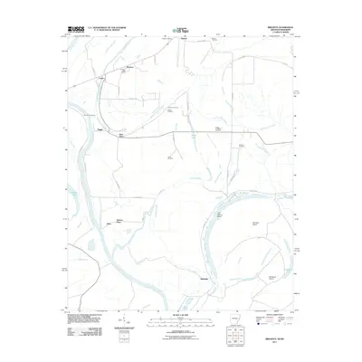 2011 Brickeys2011 Print · USGSThe Lee County riverlands in the early twenty-first century are mapped here as a network of bayous and alluvial farms. Researchers can trace family history through numerous rural burial grounds like Jackson Cemetery and Terrell Cemetery, or locate old community centers like Park Place and Whitehall.
 - 2011 Map of Rena Lara, 2011 Print
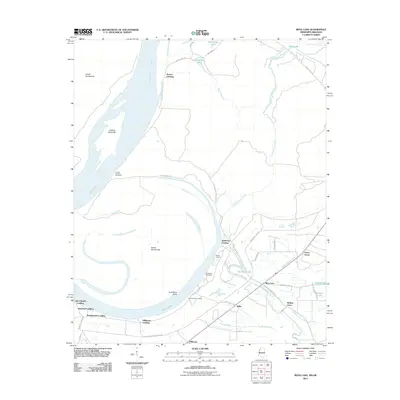 2011 Rena Lara2011 Print · USGSThe Mississippi Delta riverfront and its historic landings come into focus in this early twenty-first-century survey of Coahoma County. Researchers can trace the river's legacy through Sunflower Landing, Rena Lara, and the winding Hushpuckena River.
 - 2011 Map of Friars Point NW, 2011 Print
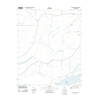 2011 Friars Point NW2011 Print · USGSThe Mississippi River delta in Coahoma County is captured here in the early twenty-first century, showcasing a landscape of alluvial lakes and rural homesteads. Genealogists and local historians can locate Preston Place, Saint Marys Cemetery, and the riverfront at Kangaroo Point.
Showing maps 1-25 of 2,576
Top cities of Mississippi
- Jackson historical maps
- Gulfport historical maps
- Biloxi historical maps
- Hattiesburg historical maps
- Southaven historical maps
- Meridian historical maps
See more
Top counties of Mississippi
- Hinds County historical maps
- Harrison County historical maps
- DeSoto County historical maps
- Rankin County historical maps
- Jackson County historical maps
- Madison County historical maps
See more
Frequently asked questions
- What are the different types of historical maps available for Mississippi?
- What is the oldest map of Mississippi?
- Where can I purchase historical maps of Mississippi for my home or office?
- Where can I download high-res historical maps of Mississippi?
- Are there historical topographic maps available for Mississippi?
- Is there historical aerial imagery available for Mississippi?
- Where are historical maps of Mississippi sourced from?