2020s Maps of Mississippi
Explore 1,703 historic maps of Mississippi from the 2020s. These maps offer a rare glimpse into what life looked like during the 2020s — showing old roads, neighborhoods, homes, and landmarks that have changed or disappeared over time.
Whether you're researching your family's past, planning a metal detecting trip, or studying how Mississippi's landscape evolved across the 2020s, these high-resolution maps are a powerful tool for exploring the history of this region.
- Focus on a specific era: All maps on this page are from the 2020s, giving you a focused view of this time period.
- See what’s changed: Compare century-old streets, trails, and buildings to today's modern landscape using overlays and satellite layers.
- Research with precision: Use these maps for genealogy, historical research, land use analysis, or educational projects.
- View, download, or print: Maps are fully viewable online in high resolution, and can be downloaded or printed for your own records.
Start exploring Mississippi's history through authentic maps from the 2020s. This is your window into the past.
Mississippi maps
(1,703)- 2020 Map of Red Leaf, 2020 Print
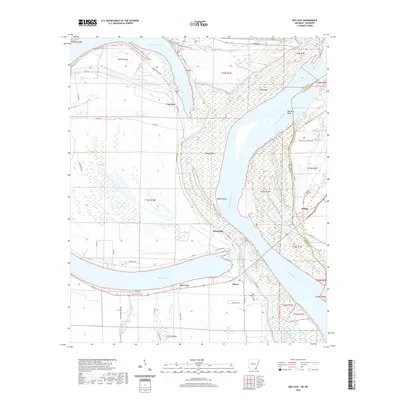 2020 Red Leaf2020 Print · USGSThe riverbanks of the Mississippi and Arkansas borderlands come alive in this recent survey. Researchers can trace family ties at Old Refuge Cem or explore the delta settlements of Red Leaf, Sunnyside, and Vaucluse along the levee.
 - 2020 Map of Eminence, 2020 Print
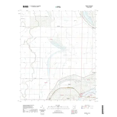 2020 Eminence2020 Print · USGSThe Arkansas-Mississippi borderlands come alive in this modern survey of the delta's bayous and river bends. Researchers can trace land patterns near Eminence or locate historic sites like Lakeport Cem and the landings at Matthews Bend and Harwood.
 - 2020 Map of Luna, 2020 Print
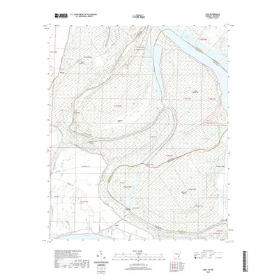 2020 Luna2020 Print · USGSThe river-lands along the Arkansas-Mississippi border come alive in this recent survey of the Chicot County region. Genealogists and local historians can trace the vicinity of Luna and Dewey, or explore the alluvial terrain of Backbone Ridge and Spanish Moss Bend.
 - 2020 Map of Council, 2020 Print
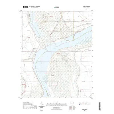 2020 Council2020 Print · USGSThe Mississippi River Delta comes alive in this contemporary survey of the borderlands between Arkansas and Mississippi. Researchers can trace the legacy of the river's movement through Council Island, locate family sites at Peters Cem, and explore the old settlement at Commerce.
 - 2020 Map of Hughes, 2020 Print
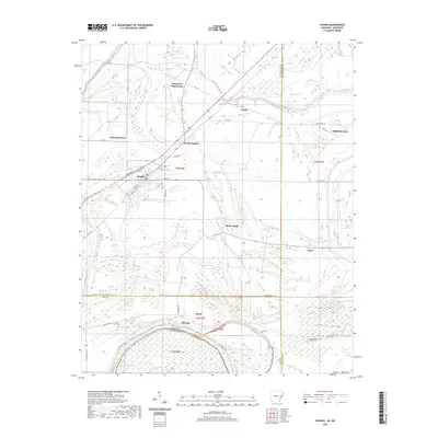 2020 Hughes2020 Print · USGSThe Arkansas delta comes into focus on the borders of St. Francis and Lee Counties in the early twenty-first century. Researchers can trace family history and land use near Saint Marys Cem, Sycamore Bend Farm, and the residential blocks of Hughes.
 - 2020 Map of Helena, 2020 Print
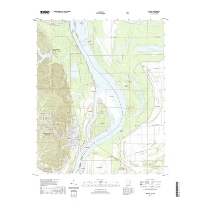 2020 Helena2020 Print · USGSThe Arkansas-Mississippi border comes alive in this contemporary survey of the delta region near Helena-West Helena. Genealogists and local historians can trace the locations of Phillips County Courthouse, Maple Hill Cem, and rural sites like Pilgrim Rest Cem.
 - 2020 Map of Horseshoe Lake, 2020 Print
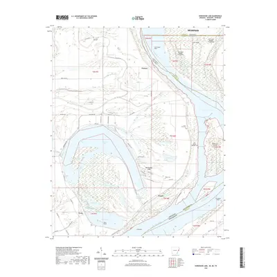 2020 Horseshoe Lake2020 Print · USGSThe oxbows and islands of the Mississippi River floodplain are documented here during the early twenty-first century. Researchers can locate family landmarks like New Mount Zion Cem and trace the early settlements of Pinckney and Bruins near the river levee.
 - 2020 Map of Readland, 2020 Print
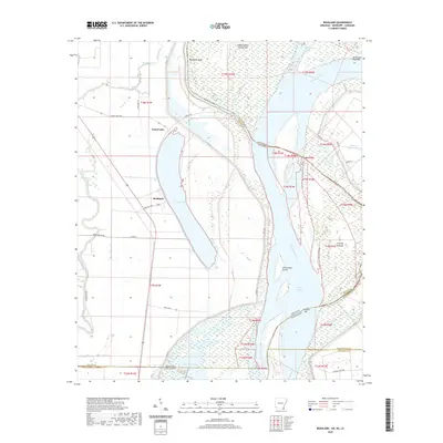 2020 Readland2020 Print · USGSThe Arkansas-Mississippi-Louisiana border region comes into sharp focus during this modern survey of the river's alluvial plain. Researchers can trace the shifting river channel through Matthews Bend, the settlement at Readland, and remote backwaters like Gassoway Lake.
 - 2020 Map of Brickeys, 2020 Print
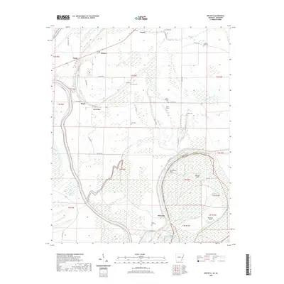 2020 Brickeys2020 Print · USGSThe Arkansas delta near the Mississippi border comes into focus in this study of Lee County's river-driven geography. Genealogists and researchers can trace local family landmarks through Gassett Cem, Greater Jerusalem Cem, and the riverfront at Whitehall.
 - 2020 Map of Montgomery Island, 2020 Print
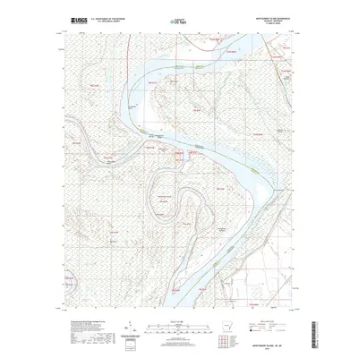 2020 Montgomery Island2020 Print · USGSThe Mississippi River floodplain at the Arkansas and Mississippi border remains a landscape of dynamic watercraft and river history. Genealogists and outdoorsmen can trace property lines near Rosedale Cem or explore the hunt clubs along Victoria Hunting Club Rd and Montgomery Island.
 - 2020 Map of Lake Cheatham, 2020 Print
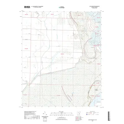 2020 Lake Cheatham2020 Print · USGSDesha County sits at the intersection of two mighty rivers in the modern era, revealing a landscape shaped by water and silt. Researchers can trace the winding banks of Monterey Bend or locate historic drainage markers like Canal Number 66 and Piling-Brake.
 - 2020 Map of Elaine, 2020 Print
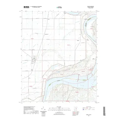 2020 Elaine2020 Print · USGSThe Arkansas Delta meets the Mississippi River in the early twenty-first century, revealing a landscape of river bends and rural settlements. Trace family roots and local history through Elaine, Hoop Spur, and historic sites like Saint Peter Cem or Jones Cem.
 - 2020 Map of Snow Lake, 2020 Print
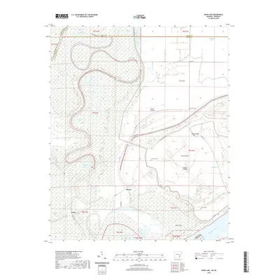 2020 Snow Lake2020 Print · USGSThe Mississippi River delta in Desha County remains a land of shifting bayous and levee-protected settlements in this recent survey. Local historians can trace family roots at Gum Grove Cem or Henrico Cem and locate the small communities of Snow Lake and Stimson.
 - 2020 Map of Arkansas City, 2020 Print
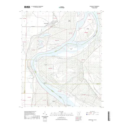 2020 Arkansas City2020 Print · USGSThe Arkansas Delta comes alive in this survey of the riverfront at Arkansas City, where the Mississippi River carves a complex boundary with Mississippi. Researchers can trace local landmarks like the Desha County Courthouse, the Mound Cem, and river features such as Huntington Bar.
 - 2020 Map of Mellwood, 2020 Print
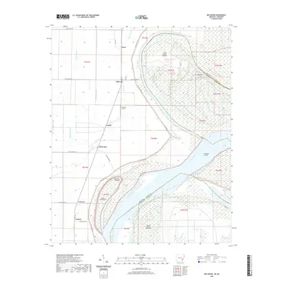 2020 Mellwood2020 Print · USGSThe Mississippi Delta riverfront comes into focus in the early twenty-first century as the river winds past Island Number Sixtyfive. Trace rural settlements like Mellwood and Crumrod or explore the oxbow at Desoto Lake.
 - 2020 Map of Laconia, 2020 Print
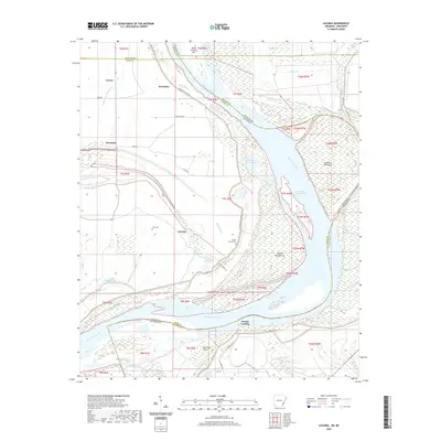 2020 Laconia2020 Print · USGSThe riverfront along the Arkansas-Mississippi border remains a landscape shaped by the river's power and the levee's protection. Researchers can trace local lineage and land use through features like Luke Cem, the settlement of Laconia, and the historical Knowlton Crevasse along the Mississippi River.
 - 2020 Map of Angie, 2020 Print
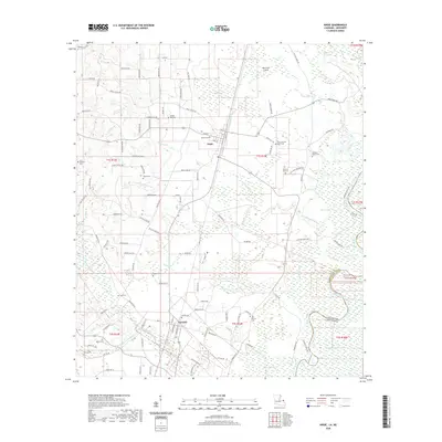 2020 Angie2020 Print · USGSWashington Parish at the turn of the decade is defined by its rural settlements and the winding Pearl River bottomlands. Researchers can trace family history through a high density of burial sites like Wesley Ray Cemetery and Fornea Cemetery.
 - 2020 Map of English Lookout, 2020 Print
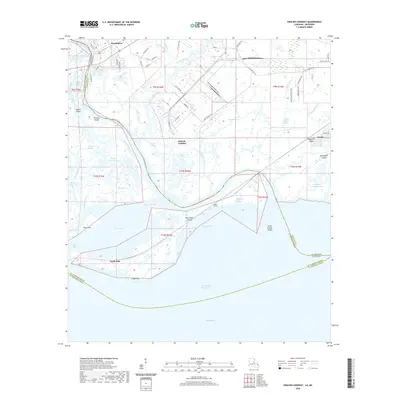 2020 English Lookout2020 Print · USGSThe coastal delta where Mississippi meets Louisiana is mapped here in detail, showing the intricate marshlands near Pearlington. Genealogists and researchers can trace family-named water features like Cousin Bayou and the remote settlements at Jackson Landing or Ansley.
 - 2020 Map of Bogalusa East, 2020 Print
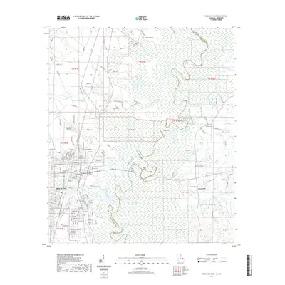 2020 Bogalusa East2020 Print · USGSBogalusa and the Pearl River swamp lands are captured here in the early twenty-first century as the city meets the winding Mississippi state line. Researchers can locate family landmarks like Ponemah Cem and Kennedy Cem, or trace water routes through Peters Cutoff and Hamp Island.
 - 2020 Map of Isle au Pitre, 2020 Print
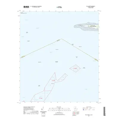 2020 Isle au Pitre2020 Print · USGSThe maritime border between Mississippi and Louisiana is captured here in the early twenty-first century, showing a landscape of shifting shoals and coastal keys. Nautical researchers can locate the protected Cat Island and trace the shallow banks of Isle au Pitre and Creole Gap Key.
 - 2020 Map of Deer Park, 2020 Print
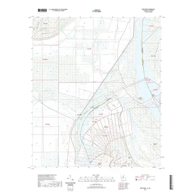 2020 Deer Park2020 Print · USGSDeer Park sits along a massive oxbow of the Mississippi River in the early 21st century, where the Louisiana and Mississippi border follows the shifting currents. Researchers can trace the river's evolution through features like Glasscock Island, Old River, and Deer Park Bend.
 - 2020 Map of Spokane, 2020 Print
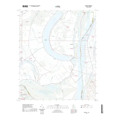 2020 Spokane2020 Print · USGSThe Mississippi River delta landscape comes into sharp focus in this recent survey of the Louisiana and Mississippi border. Genealogists and local historians can trace family sites at Saint Paul Cem, the riverfront at Spokane, and the industrial Brandenburg Pit.
 - 2020 Map of Saint Joseph, 2020 Print
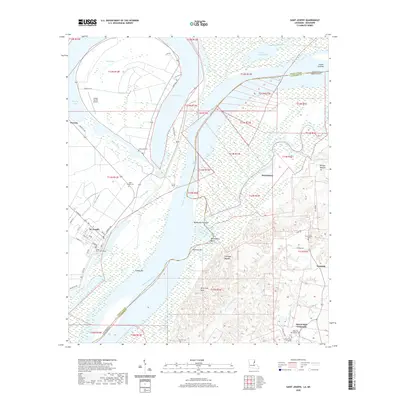 2020 Saint Joseph2020 Print · USGSThe Mississippi River borderlands between Louisiana and Mississippi come into focus during the late 2010s. Researchers can trace the layout of the Tensas Parish Courthouse in St. Joseph or locate historic sites like Windsor Mounds and Alcorn State University.
 - 2020 Map of Turnbull Island, 2020 Print
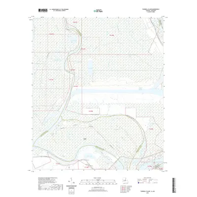 2020 Turnbull Island2020 Print · USGSTurnbull Island and the surrounding Mississippi floodplains are captured in this modern survey of the Louisiana and Mississippi borderlands. Genealogists and local historians can locate river-bound landmarks like Turnbull Cem and Oak Grove Cem or trace the hydrography of Upper Old River.
 - 2020 Map of Lower Sunk Lake, 2020 Print
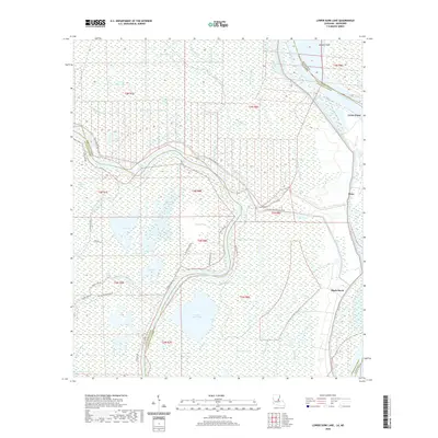 2020 Lower Sunk Lake2020 Print · USGSConcordia Parish at the meeting of the Mississippi and Red Rivers reveals a landscape shaped by water and flood control in the modern era. Genealogists and historians can trace the riverfront settlements of Union Point, Shaw, and Black Hawk or explore the wetland geography of Lower Sunk Lake and Dismal Swamp.
Showing maps 1-25 of 1,703
Top cities of Mississippi
- Jackson historical maps
- Gulfport historical maps
- Biloxi historical maps
- Hattiesburg historical maps
- Southaven historical maps
- Meridian historical maps
See more
Top counties of Mississippi
- Hinds County historical maps
- Harrison County historical maps
- DeSoto County historical maps
- Rankin County historical maps
- Jackson County historical maps
- Madison County historical maps
See more
Frequently asked questions
- What are the different types of historical maps available for Mississippi?
- What is the oldest map of Mississippi?
- Where can I purchase historical maps of Mississippi for my home or office?
- Where can I download high-res historical maps of Mississippi?
- Are there historical topographic maps available for Mississippi?
- Is there historical aerial imagery available for Mississippi?
- Where are historical maps of Mississippi sourced from?