2000-2009 Maps of Mississippi
Explore 100 historic maps of Mississippi from 2000-2009. These maps offer a rare glimpse into what life looked like during the 2000s — showing old roads, neighborhoods, homes, and landmarks that have changed or disappeared over time.
Whether you're researching your family's past, planning a metal detecting trip, or studying how Mississippi's landscape evolved across the 2000s, these high-resolution maps are a powerful tool for exploring the history of this region.
- Focus on a specific era: All maps on this page are from the 2000s, giving you a focused view of this time period.
- See what’s changed: Compare century-old streets, trails, and buildings to today's modern landscape using overlays and satellite layers.
- Research with precision: Use these maps for genealogy, historical research, land use analysis, or educational projects.
- View, download, or print: Maps are fully viewable online in high resolution, and can be downloaded or printed for your own records.
Start exploring Mississippi's history through authentic maps from the 2000s. This is your window into the past.
Mississippi maps
(100)- 2000 Map of Horn Island West, 2001 Print
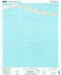 2000 Horn Island West2001 Print · USGSThe Mississippi barrier islands are captured at the turn of the millennium, showing the western reach of Horn Island within the Gulf Islands National Seashore. Researchers can trace remote coastal markers like Chimney Well and the shallow sound at Middle Ground.
 - 2000 Map of Horn Island East, 2001 Print
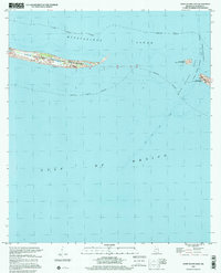 2000 Horn Island East2001 Print · USGSThe Mississippi coast's barrier islands are captured at the end of the century, showing the intersection of protected wilderness and major shipping lanes. Trace the maritime pathways of Horn Island and Petit Bois Island along the Pascagoula Channel.
 - 2000 Map of Petit Bois Island, 2001 Print
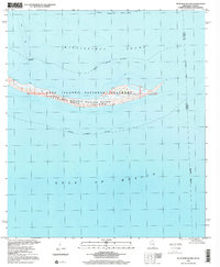 2000 Petit Bois Island2001 Print · USGSPetit Bois Island remained a wild barrier along the Gulf Coast at the turn of the century, bifurcated by the Mississippi-Alabama state line. Researchers can trace the maritime geography of the Petit Bois National Wildlife Refuge and the location of the Horn Island Lighthouse.
 - 2000 Map of Bond, 2002 Print
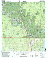 2000 Bond2002 Print · USGSThe piney woods of southern Mississippi are captured here at the start of the millennium, showing a landscape defined by timber and energy. Researchers can locate family landmarks like Batson Cem, the Maxie Lookout Tower, and Fruitland Park.
 - 2000 Map of Homochitto, 2002 Print
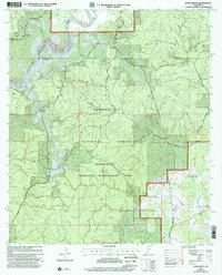 2000 Homochitto2002 Print · USGSAmite and Franklin Counties at the turn of the millennium are captured here as a landscape of timber and tradition. Researchers can trace rural lineages through sites like Bunkley Cem, Oak Grove Ch, and the small settlement of Oxford.
 - 2000 Map of Pulaski, 2002 Print
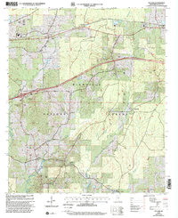 2000 Pulaski2002 Print · USGSThe woods of Scott County appear at the turn of the millennium, showing a landscape shaped by timber and tradition. Genealogists can trace family landmarks like North Morton Cem, Hunter Town, and the rural community of Pulaski.
 - 2000 Map of Forest, 2002 Print
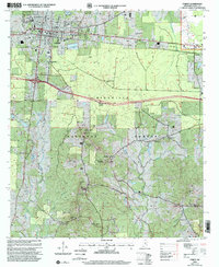 2000 Forest2002 Print · USGSScott County at the turn of the millennium shows the intersection of deep timberlands and growing civic infrastructure around FOREST. Researchers can trace old family sites and rural congregations at Oak Grove Ch Cem, Fikestown, and the Eastern Cemetery.
 - 2000 Map of Roxie, 2002 Print
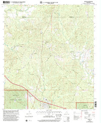 2000 Roxie2002 Print · USGSFranklin and Jefferson Counties are documented here at the turn of the century as the southern forest landscape met rural farmstead life. Genealogists can trace family ties at Old Rose Hill Cem, Daughters Temple, and the settlement of Hamburg.
 - 2000 Map of Ramsey Springs, 2002 Print
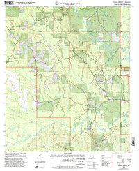 2000 Ramsey Springs2002 Print · USGSSoutheast Mississippi forest lands at the turn of the millennium are defined here by the winding Black Creek and Red Creek corridors. Researchers can locate remote family burial sites like Whittington Cem and Hickman Cem or trace the early rural hubs of Ramsey Springs and Moore Crossing.
 - 2000 Map of Pineville, 2002 Print
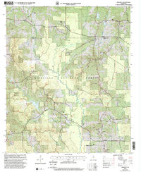 2000 Pineville2002 Print · USGSPineville and the surrounding forest lands are documented here at the turn of the millennium. Genealogists can trace family connections through sites like Noblin Cem, Galilee Ch, and Mt Carmel Ch along the winding Leaf River.
 - 2000 Map of Ovett, 2002 Print
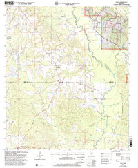 2000 Ovett2002 Print · USGSThe Jones and Perry County borderlands come into focus at the start of the millennium, showing a landscape defined by forest management and oil exploration. Researchers can locate family landmarks like Whitfield Cem, Ovett Cem, and Piney Grove Ch along the winding Bogue Homo.
 - 2000 Map of Wortham, 2002 Print
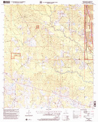 2000 Wortham2002 Print · USGSHarrison County in the late twentieth century is defined here by the meeting of the Little Biloxi River and the pines of the De Soto National Forest. Genealogists and local historians can trace family ties at the Wortham Cem, Lizana Sch, and the small settlement of Hovey.
 - 2000 Map of Wilkinson, 2002 Print
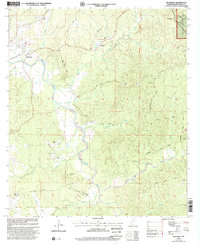 2000 Wilkinson2002 Print · USGSWilkinson County at the turn of the millennium shows a landscape defined by the winding Buffalo River and deep timber tracts. Genealogists can locate numerous family burial grounds and country churches like Macedonia Cem, Coon Cem, and Midway Ch.
 - 2000 Map of Lucre, 2002 Print
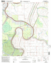 2000 Lucre2002 Print · USGSThe Mississippi Delta's river-driven landscape is captured here at the turn of the millennium, showing the confluence of three major rivers. Genealogists and historians can trace the intricate levee systems and find local landmarks like Lucre, Lake George, and the South Greentree Reservoir.
 - 2000 Map of Betheden, 2002 Print
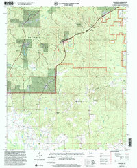 2000 Betheden2002 Print · USGSCentral Mississippi at the turn of the twenty-first century reveals a landscape where the Tombigbee National Forest meets rural settlements. Genealogists can trace local roots at Webster Cem and Oliver Cem or locate community hubs like Singleton.
 - 2000 Map of Hillsboro, 2002 Print
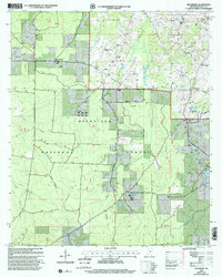 2000 Hillsboro2002 Print · USGSScott County enters the new millennium as a mix of timberlands and rural communities within the Bienville National Forest. Genealogists and historians can trace local roots through landmarks like the Old Duncan Cem, Mt Zion Ch, and the settlement of Hillsboro.
 - 2000 Map of Garden City, 2002 Print
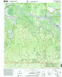 2000 Garden City2002 Print · USGSWilkinson and Adams Counties are shown at the turn of the millennium as the forest and river systems remain the area's defining features. Researchers can locate early family-named branches and rural landmarks like Perrytown Ch, Ireland, and Buffalo Lookout.
 - 2000 Map of Louisville North, 2002 Print
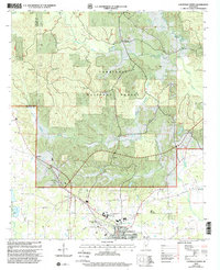 2000 Louisville North2002 Print · USGSWinston County and the northern outskirts of Louisville are seen here at the turn of the century. Genealogists and local historians can trace rural community centers like Gum Springs and numerous landmarks including Union Chapel Cem and Poplar Flat Ch.
 - 2000 Map of Meadville, 2002 Print
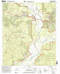 2000 Meadville2002 Print · USGSMeadville and the surrounding Franklin County timberlands are shown here at the turn of the millennium. Genealogists can locate family landmarks like Moore Cem, New Hope Ch, and the local Franklin County Hospital.
 - 2000 Map of Red Rock, 2002 Print
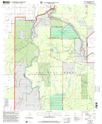 2000 Red Rock2002 Print · USGSThe Sharkey County delta at the turn of the millennium shows a landscape defined by forest management and river bends. Researchers can trace the water control systems of the Sunflower Greentree Reservoir and find local landmarks like Choctaw Landing and Red Rock.
 - 2000 Map of Whites Crossing, 2002 Print
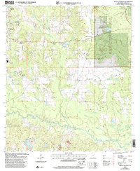 2000 Whites Crossing2002 Print · USGSStone County life in the early 2000s centered around the growth of Wiggins and the surrounding pine woods of the De Soto National Forest. Genealogists and historians can trace family roots through numerous country landmarks like Liberty Hill Ch, Big Level, and Whites Cem.
 - 2000 Map of Harperville, 2002 Print
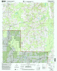 2000 Harperville2002 Print · USGSThe rural heart of Scott County at the turn of the millennium is centered on the northern edge of the Bienville National Forest. Researchers can map out genealogy and local history through numerous landmarks like Singleton Settlement, Scott Central Sch, and Old Union Cem.
 - 2000 Map of Knoxville, 2002 Print
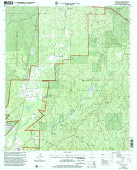 2000 Knoxville2002 Print · USGSFranklin County in the years before the new millennium shows a landscape defined by the intersection of forest management and oil extraction. Genealogists can trace family names and local landmarks like White Apple, McMillian Cem, and the North Knoxville Oil Field.
 - 2000 Map of McBride, 2002 Print
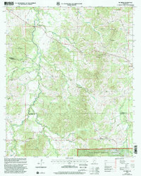 2000 McBride2002 Print · USGSThe rural borderlands of Claiborne and Jefferson counties are shown here as they appeared at the turn of the millennium. Genealogists can trace family roots through numerous remote sites like Clarks Creek Ch, Hedrich Cem, and the settlement of McBride.
 - 2000 Map of McCall Creek, 2002 Print
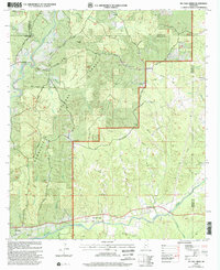 2000 McCall Creek2002 Print · USGSSouthwest Mississippi's timber country is documented here at the turn of the century, showing the crossroads of Franklin and Lincoln counties. Genealogists can locate family landmarks like Wright Cem and rural centers such as Shucktown and McCall Creek.
Showing maps 1-25 of 100
Top cities of Mississippi
- Jackson historical maps
- Gulfport historical maps
- Biloxi historical maps
- Hattiesburg historical maps
- Southaven historical maps
- Meridian historical maps
See more
Top counties of Mississippi
- Hinds County historical maps
- Harrison County historical maps
- DeSoto County historical maps
- Rankin County historical maps
- Jackson County historical maps
- Madison County historical maps
See more
Frequently asked questions
- What are the different types of historical maps available for Mississippi?
- What is the oldest map of Mississippi?
- Where can I purchase historical maps of Mississippi for my home or office?
- Where can I download high-res historical maps of Mississippi?
- Are there historical topographic maps available for Mississippi?
- Is there historical aerial imagery available for Mississippi?
- Where are historical maps of Mississippi sourced from?