1990s Maps of Mississippi
Explore 80 historic maps of Mississippi from the 1990s. These maps offer a rare glimpse into what life looked like during the 1990s — showing old roads, neighborhoods, homes, and landmarks that have changed or disappeared over time.
Whether you're researching your family's past, planning a metal detecting trip, or studying how Mississippi's landscape evolved across the 1990s, these high-resolution maps are a powerful tool for exploring the history of this region.
- Focus on a specific era: All maps on this page are from the 1990s, giving you a focused view of this time period.
- See what’s changed: Compare century-old streets, trails, and buildings to today's modern landscape using overlays and satellite layers.
- Research with precision: Use these maps for genealogy, historical research, land use analysis, or educational projects.
- View, download, or print: Maps are fully viewable online in high resolution, and can be downloaded or printed for your own records.
Start exploring Mississippi's history through authentic maps from the 1990s. This is your window into the past.
Mississippi maps
(80)- 1990 Map of Helena, 1991 Print
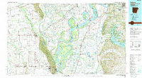 1990 Helena1991 Print · USGSThe Arkansas and Mississippi delta regions meet here in the 1990s, where the great river's oxbows and islands define the state line. Genealogists and historians can trace the rail networks of the Illinois Central Gulf RR and local settlements like Palestine, Marvell, and La Grange.
 - 1990 Map of Oxford, 1991 Print
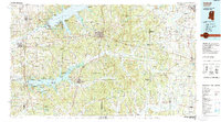 1990 Oxford1991 Print · USGSNorth Mississippi at the start of the nineties centers on the university town of Oxford and the large reservoirs of the Tallahatchie River valley. Researchers can trace the Illinois Central Gulf RR through towns like Water Valley and locate landmarks such as College Hill Sta.
 - 1990 Map of Clarksdale, 1991 Print
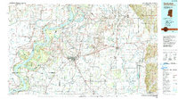 1990 Clarksdale1991 Print · USGSThe Mississippi Delta in the 1990s remained a landscape of river-driven commerce and small-town resilience. Researchers can trace the path of the Illinois Central Railroad through settlements like Clarksdale, Friars Point, and Alligator.
 - 1991 Map of Woodville
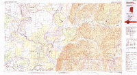 1991 Woodville1991 Print · USGSWilkinson County and the Louisiana borderlands appear here in the early nineties, where the bluffs meet the Mississippi River floodplain. Trace the sites of old river landings and rural outposts like Fort Adams, Pinckneyville, and the remote Larto Lake community.
 - 1991 Map of Natchez, 1992 Print
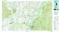 1991 Natchez1992 Print · USGSThe Mississippi River valley at the turn of the nineties reveals a landscape of oxbow lakes, river landings, and bustling bluff-top towns. Genealogists and historians can trace the rail corridors of the Illinois Central Gulf Railroad through Fayette or locate family roots in riverside settlements like Waterproof and St Joseph.
 - 1992 Map of Paden SE, 1995 Print
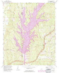 1992 Paden SE1995 Print · USGSTishomingo County was undergoing a major transformation in the 1990s as the waterway changed the local landscape. Genealogists can trace family landmarks like Old Mackeys Creek Cem, Union Chapel, and the Vaughn Cem.
 - 1992 Map of Nettleton, 1995 Print
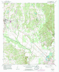 1992 Nettleton1995 Print · USGSNettleton and the surrounding Lee and Monroe county borderlands are shown here in the early nineties, during a period of industrial change. Genealogists can trace family names through numerous rural burial sites like Providence Cem and Goodwin Cem or locate old landmarks such as Jones Chapel Ch.
 - 1992 Map of Smithville, 1995 Print
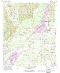 1992 Smithville1995 Print · USGSMonroe and Itawamba counties appear here during the 1990s as the regional landscape was reshaped by the massive Tennessee-Tombigbee Waterway. Genealogists and historians can trace family sites at New Chapel Cem, Dunlap Cem, and Pooles Chapel near the community of Smithville.
 - 1992 Map of Beans Ferry, 1995 Print
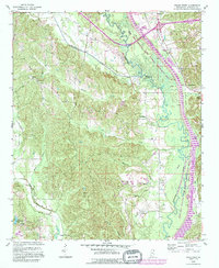 1992 Beans Ferry1995 Print · USGSItawamba County is documented here in the early nineties, showing the intersection of the massive TENNESSEE-TOMBIGBEE WATERWAY and the older river path. Genealogists can trace family landmarks like Bean Cem, Booth Cem, and the settlement at Beans Ferry.
 - 1992 Map of Wren, 1995 Print
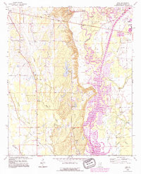 1992 Wren1995 Print · USGSMonroe County life in the early nineties centers on the engineering of the Tennessee Tombigbee Waterway and the rural communities of Wren and New Wren. Trace family history through sites like Mound Cem, Mt Moriah Ch, and the Old Indian Treaty Boundary.
 - 1992 Map of Amory SW, 1995 Print
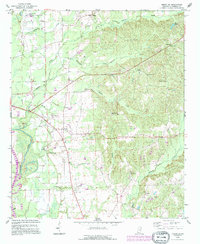 1992 Amory SW1995 Print · USGSMonroe County during the early nineties showcases a landscape defined by the Tennessee-Tombigbee Waterway and the local energy economy. Genealogists can trace deep local roots at Nashville Cem and Pleasant Hill Cem, or explore the small communities of Athens and Lackey.
 - 1992 Map of Amory, 1995 Print
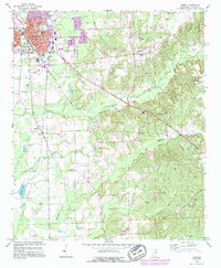 1992 Amory1995 Print · USGSAmory and its surrounding Monroe County hills appear here in the early nineties as a busy railroad and industrial hub. Genealogists and local historians can trace family locations near Greenbrier Cem, Hatley, and the rural Smith Chapel.
 - 1992 Map of Guntown, 1995 Print
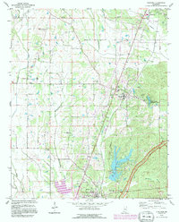 1992 Guntown1995 Print · USGSNortheast Mississippi’s Lee County is shown here in the early nineties during a period of infrastructure growth and rural continuity. Researchers can locate many local landmarks, from the Natchez Trace Parkway to old family plots like Gaston Cem and Campbelltown Cem.
 - 1992 Map of Tremont, 1995 Print
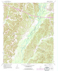 1992 Tremont1995 Print · USGSEastern Itawamba County is documented here in the early nineties, showing a landscape defined by Bull Mountain Creek and the town of Tremont. Genealogists can locate family landmarks like Maxey Cem and old settlements such as Tilden and New Salem.
 - 1992 Map of Aberdeen, 1995 Print
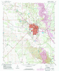 1992 Aberdeen1995 Print · USGSAberdeen sits at the intersection of river commerce and energy production in the early nineties. Genealogists and researchers can trace local landmarks like Odd Fellows Cemetery, Stinson Field, and the Old RR Grade north of town.
 - 1992 Map of Fulton, 1995 Print
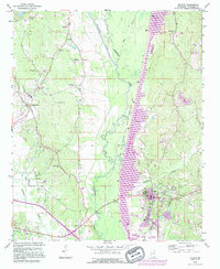 1992 Fulton1995 Print · USGSItawamba County’s river landscape is shown here during the late twentieth-century expansion of the Tennessee-Tombigbee system. Genealogists can trace family landmarks like Files Cem and Stephens Ch alongside the growing campus of Itawamba Community College.
 - 1992 Map of Fulton NE, 1995 Print
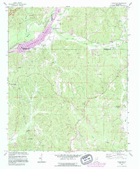 1992 Fulton NE1995 Print · USGSItawamba and Tishomingo counties are shown in the early nineties, just as the Tennessee-Tombigbee Waterway and wildlife management areas were reshaping the land. Genealogists can trace family landmarks like Allens Chapel Cem, Sandy Springs, and Moores Mill.
 - 1992 Map of Kirkville, 1995 Print
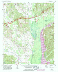 1992 Kirkville1995 Print · USGSThe Itawamba and Prentiss county line comes alive in the 1990s as the massive Tennessee-Tombigbee Waterway reshapes the landscape. Genealogists and local historians can trace the locations of the Ozark Methodist Ch, the Warren Cem, and the ancient Pharr Indian Mounds.
 - 1992 Map of Ratliff, 1995 Print
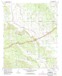 1992 Ratliff1995 Print · USGSNortheast Mississippi’s hill country is captured here in the early 1990s as the Natchez Trace Parkway cuts through the rural landscape. Researchers can trace family sites and local landmarks at Pratts, Chapelville, and Oak Grove Cem.
 - 1992 Map of Tupelo, 1995 Print
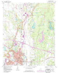 1992 Tupelo1995 Print · USGSTupelo and Saltillo are shown in the early nineties as the region balanced modern growth with its deep cultural roots. Trace family history and local landmarks through sites like the Chickasaw Village Site, Elvis Presley Lake, and the Tupelo National Battlefield.2 unique versions available
 - 1992 Map of Biloxi, 1998 Print
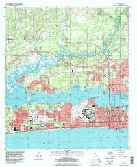 1992 Biloxi1998 Print · USGSMississippi's Gulf Coast comes into focus in the early nineties, showing the vital waterways and urban expansion of the Biloxi area. Researchers can trace military and civic heritage at Keesler Air Force Base, the Veterans Administration Center, and the historic Beauvoir estate.
 - 1992 Map of Ocean Springs, 1998 Print
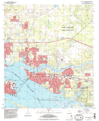 1992 Ocean Springs1998 Print · USGSThe Mississippi Gulf Coast at the end of the twentieth century shows a vibrant landscape of tidal bayous and expanding residential communities. Trace the shoreline from Biloxi across the Memorial Bridge to explore the residential streets of Ocean Springs and the protected marshes of the Mississippi Sandhill Crane National Wildlife Refuge.
 - 1993 Map of English Lookout, 1995 Print
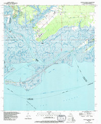 1993 English Lookout1995 Print · USGSThe coastal marshlands of the Mississippi-Louisiana border come alive in the 1990s as the river meets the gulf. Local historians can trace old waterfront sites at Jackson Landing and English Lookout or explore the development of the Ansley Gas Field.2 unique versions available
 - 1993 Map of Haaswood, 1995 Print
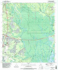 1993 Haaswood1995 Print · USGSThe Pearl River delta meets the growing outskirts of Slidell during the 1990s in this detailed look at the Louisiana-Mississippi border. Researchers can trace old family names and settlements like Gainesville, Logtown, and Napoleon alongside the sprawling John C Stennis Space Center.2 unique versions available
 - 1993 Map of Logtown, 1995 Print
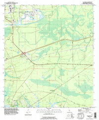 1993 Logtown1995 Print · USGSNear the Louisiana border in the early nineties, this survey documents the interplay between federal aerospace development and old river settlements. Genealogists can locate family landmarks such as Logtown Cem, Pearlington, and the Charles Murphy Sch.
Showing maps 1-25 of 80
Top cities of Mississippi
- Jackson historical maps
- Gulfport historical maps
- Biloxi historical maps
- Hattiesburg historical maps
- Southaven historical maps
- Meridian historical maps
See more
Top counties of Mississippi
- Hinds County historical maps
- Harrison County historical maps
- DeSoto County historical maps
- Rankin County historical maps
- Jackson County historical maps
- Madison County historical maps
See more
Frequently asked questions
- What are the different types of historical maps available for Mississippi?
- What is the oldest map of Mississippi?
- Where can I purchase historical maps of Mississippi for my home or office?
- Where can I download high-res historical maps of Mississippi?
- Are there historical topographic maps available for Mississippi?
- Is there historical aerial imagery available for Mississippi?
- Where are historical maps of Mississippi sourced from?