2020s Maps of Big Horn County, Montana
Explore 245 historic maps of Big Horn County from the 2020s. These maps offer a rare glimpse into what life looked like during the 2020s — showing old roads, neighborhoods, homes, and landmarks that have changed or disappeared over time.
Whether you're researching your family's past, planning a metal detecting trip, or studying how Big Horn County's landscape evolved across the 2020s, these high-resolution maps are a powerful tool for exploring the history of this region.
- Focus on a specific era: All maps on this page are from the 2020s, giving you a focused view of this time period.
- See what’s changed: Compare century-old streets, trails, and buildings to today's modern landscape using overlays and satellite layers.
- Research with precision: Use these maps for genealogy, historical research, land use analysis, or educational projects.
- View, download, or print: Maps are fully viewable online in high resolution, and can be downloaded or printed for your own records.
Start exploring Big Horn County's history through authentic maps from the 2020s. This is your window into the past.
Big Horn County, MT maps
(245)- 2020 Map of Waco, 2020 Print
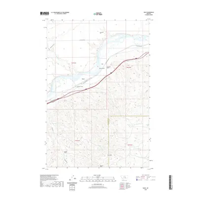 2020 Waco2020 Print · USGSWaco and the surrounding Yellowstone River valley are captured here in the early twenty-first century as the landscape transitions from river flats to high ridges. Local historians can trace the geography of the area through named features like Waco, Sevenmile Flat, and the rugged terrain of Sawmill Coulee.
 - 2020 Map of Mission Creek, 2020 Print
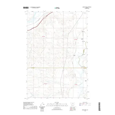 2020 Mission Creek2020 Print · USGSThe confluence of the Bighorn and Yellowstone rivers comes into focus in this recent survey. Researchers can trace land patterns across Mission Bottom and locate features like the Victory Ditch and Fighting Spring Coulee.
 - 2020 Map of Marsh Coulee, 2020 Print
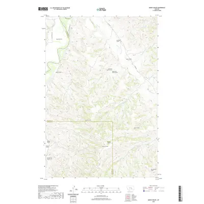 2020 Marsh Coulee2020 Print · USGSBig Sky Country ranching and river geography are on full display at the intersection of Yellowstone, Big Horn, and Treasure counties. Genealogists and historians can trace family-named landmarks across the breaks, from Mission Bottom to Joe Black Coulee and Eckman Coulee.
 - 2020 Map of Mission Coulee, 2020 Print
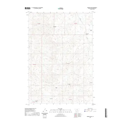 2020 Mission Coulee2020 Print · USGSBig Horn County, Montana is documented here during the early twenty-first century, showing a landscape defined by deep coulees and high plains. Researchers can trace the rugged drainages of Mission Coulee and Ash Coulee or locate landmarks like Rattlesnake Butte and the remote Good Luck Rd.
 - 2020 Map of Kid Creek, 2020 Print
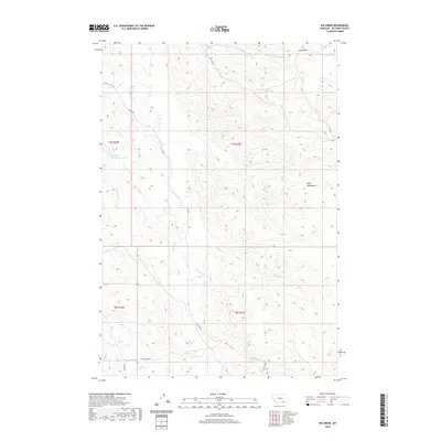 2020 Kid Creek2020 Print · USGSBig Horn County at the turn of the decade is defined by its working ranch lands and the high ridges of the Wolf Mountains. Researchers can trace old routes like Owl Creek Rd and identify key water sources such as the Steinhilber Reservoir and Bear Cr.
 - 2020 Map of Woody Creek Camp, 2020 Print
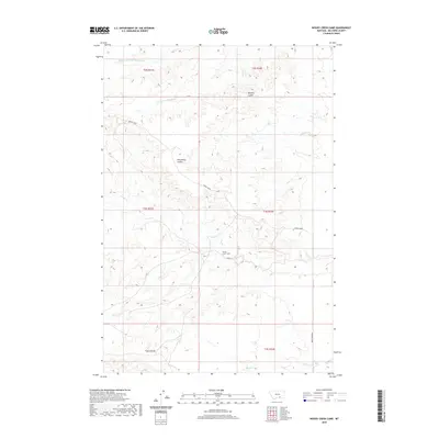 2020 Woody Creek Camp2020 Print · USGSBig Horn County in the early twenty-first century remains a landscape of remote coulees and cattle country. Trace the drainages of Woody Cr and Whiskey Coulee to locate Woody Creek Camp and the isolated stretches of Grassy Ln.
 - 2020 Map of Crow Agency NE, 2020 Print
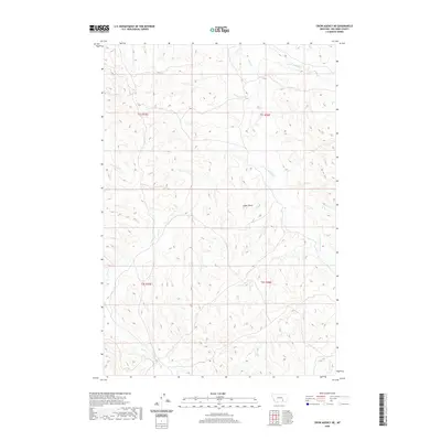 2020 Crow Agency NE2020 Print · USGSBig Horn County, Montana, is mapped here in recent years, showing the ranching and tribal lands defined by a web of creek drainages. Researchers can locate specific land tracts along Ash Cr, Tullock Cr, and the prominent Eagle Butte.
 - 2020 Map of Willow Creek Dam SW, 2020 Print
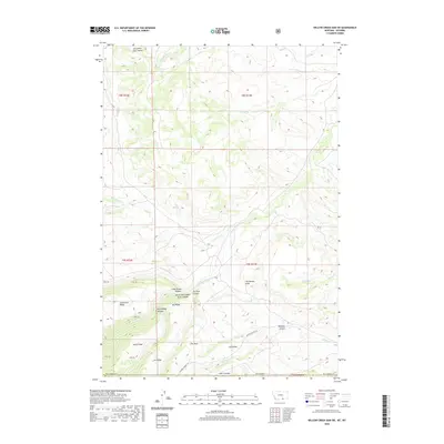 2020 Willow Creek Dam SW2020 Print · USGSThe Montana-Wyoming border highlands are captured in this 2020 survey, showing the complex network of ridges and canyons. Researchers can trace landforms like Tepee Pole Ridge and Horse Ridge or follow Marble Quarry Rd through the rugged terrain.
 - 2020 Map of Lodge Grass NE, 2020 Print
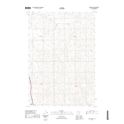 2020 Lodge Grass NE2020 Print · USGSBig Horn County in the modern era remains a landscape of high ridges and deep drainages shaped by the Little Bighorn Valley. You can trace the winding paths of Reno Cr, Long Otter Cr, and the vital ranch access provided by Reno Creek Rd.
 - 2020 Map of Padlock Ranch, 2020 Print
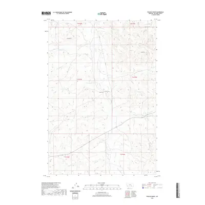 2020 Padlock Ranch2020 Print · USGSBig Horn County ranching country is documented here in the early twenty-first century, centered on the historic Padlock Ranch. Researchers can trace the intricate drainage of Tullock Cr and its many tributaries, while locating landmarks like Gracy Butte and the Red Hills.
 - 2020 Map of Camp Four, 2020 Print
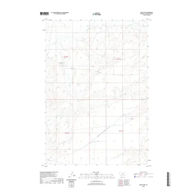 2020 Camp Four2020 Print · USGSBig Horn County in the early twenty-first century reveals a landscape of high coulees and isolated peaks. Researchers can trace the drainage of Beauvais Cr and Mott Cr or locate the site of Camp Four along the Pryor-St X Rd.
 - 2020 Map of Nibbe, 2020 Print
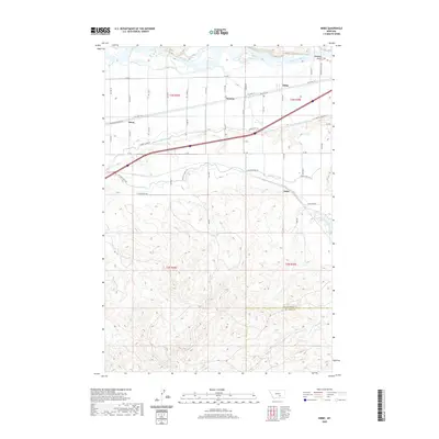 2020 Nibbe2020 Print · USGSThe Yellowstone River valley is captured here in the early twenty-first century, showcasing its vital irrigation and transport corridors. Genealogists and researchers can trace the small hubs of Nibbe, Newton, and Mann along the path of Old Hwy 312.
 - 2020 Map of Chilkoot Coulee, 2020 Print
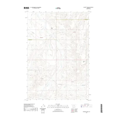 2020 Chilkoot Coulee2020 Print · USGSThe borderlands of Yellowstone and Big Horn counties are captured here in the early 2000s, showcasing a landscape of high ridges and deep coulees. Genealogists and researchers can trace the remote paths of Pryor-St Xavier Rd and find the headwaters of Beauvais Cr and Chilkoot Coulee.
 - 2020 Map of Blue Spring, 2020 Print
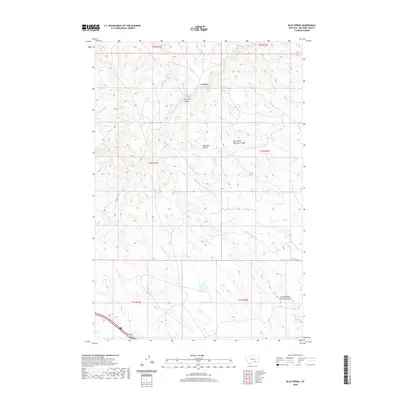 2020 Blue Spring2020 Print · USGSBig Horn County at the start of the 2020s shows a landscape of deep coulees and vital water sources. Researchers can trace the drainages of Peritsa Cr and Lost Boy Cr or locate landmarks like Pine Ridge and Blue Spring.
 - 2020 Map of Saint Xavier NE, 2020 Print
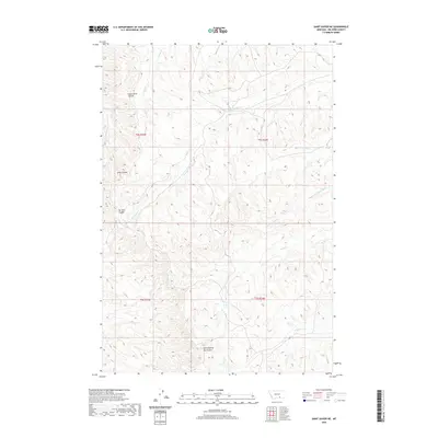 2020 Saint Xavier NE2020 Print · USGSBig Horn County in the modern era remains a landscape of deep ravines and seasonal creeks. Researchers can trace the drainage patterns of family-named landmarks like Good Horse Coulee and watercourses such as Shoulder Blade Cr or Nest Cr.
 - 2020 Map of Bear Hole, 2020 Print
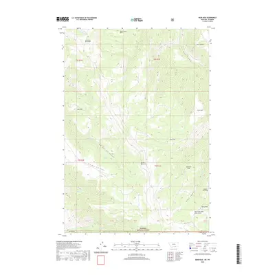 2020 Bear Hole2020 Print · USGSThe high ridges of the Big Horn Mountains are mapped in detail here as they cross the state line into Wyoming. Researchers can trace the drainage of Big Bull Elk Canyon and locate vital water sources like Indian Springs and Commissary Spring.
 - 2020 Map of Jeans Fork NW, 2020 Print
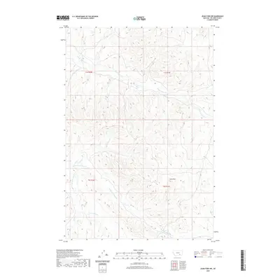 2020 Jeans Fork NW2020 Print · USGSBig Horn County at the start of the 2020s shows a landscape dominated by the branching headwaters of the Tullock Creek system. Researchers can trace the drainages of Middle Fork Tullock Cr and locate prominent terrain features like Castle Rock.
 - 2020 Map of Iron Spring SW, 2020 Print
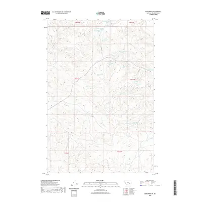 2020 Iron Spring SW2020 Print · USGSBig Horn County at the start of the 2020s remains a landscape defined by its remote springs and cattle-country drainages. Researchers can trace the rugged topography from the Red Hills down to the banks of Plum Cr and Sarpy Cr.
 - 2020 Map of Lemonade Springs, 2020 Print
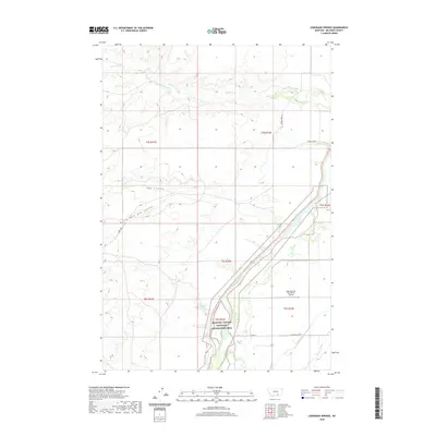 2020 Lemonade Springs2020 Print · USGSBig Horn County, Montana, is documented here in the early twenty-first century as a landscape of managed river valleys and protected recreation areas. Researchers can trace the path of the Bighorn River alongside infrastructure like the Big Horn Canal and Pale Morning Dun Ranch Airport.
 - 2020 Map of Crow Agency SE, 2020 Print
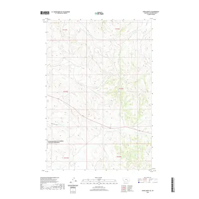 2020 Crow Agency SE2020 Print · USGSThe rolling hills of Big Horn County are captured here in the contemporary era, centered on the ground where the 1876 Battle of the Little Bighorn unfolded. Trace the topography of Medicine Tail Coulee and the paths of Custer Cr and Reno Cr to understand this famous landscape.
 - 2020 Map of Dry Soap Creek, 2020 Print
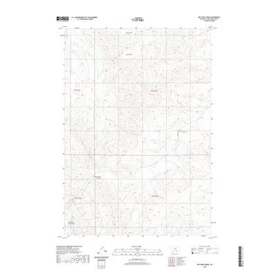 2020 Dry Soap Creek2020 Print · USGSBig Horn County at the start of the 2020s remains a landscape of deep canyons and named coulees. Researchers can trace the winding paths of Rotten Grass Cr and Packs The Hat Cr or locate landmarks like Christmas Tree Coulee.
 - 2020 Map of Lemon Ranch, 2020 Print
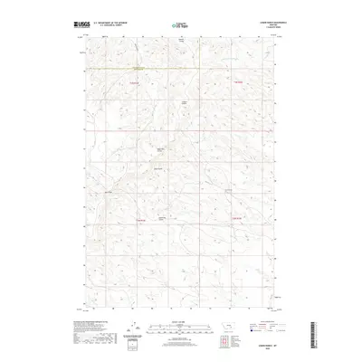 2020 Lemon Ranch2020 Print · USGSThe ranchlands of Yellowstone and Big Horn counties are captured here in the early twenty-first century. Researchers can trace the drainages of Deadmans Coulee and Wagon Box Coulee or locate Lemon Ranch along the ridge-and-valley terrain.
 - 2020 Map of Wyola NE, 2020 Print
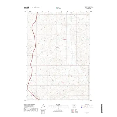 2020 Wyola NE2020 Print · USGSBig Horn County ranching country is mapped here in the modern era, showing the vital water systems of the Montana uplands. Researchers can trace the path of the Fortymile Canal and locate remote landmarks like Chalk Butte and Steinhilber Reservoir.
 - 2020 Map of Minnehaha Creek South, 2020 Print
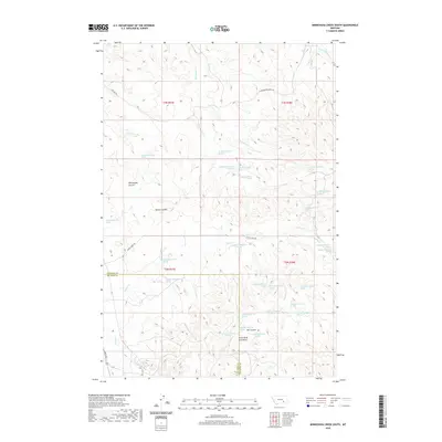 2020 Minnehaha Creek South2020 Print · USGSBig Horn and Treasure counties meet in this high-plains landscape during the early 21st century, where the mountains give way to a network of vital springs and deep coulees. Researchers can trace the drainages of Horse Cr and Sarpy Cr or locate family landmarks in Willoughby Coulee and the Little Wolf Mountains.
 - 2020 Map of Prante Ranch, 2020 Print
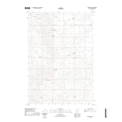 2020 Prante Ranch2020 Print · USGSBig Horn County at the start of the 2020s remains a landscape defined by ranching and traditional place names. Researchers can trace land ties at Prante Ranch or follow the intricate drainages of Halfway House Coulee and Dawussuua Ashkaate.
Showing maps 1-25 of 245
Top cities of Big Horn County
- Hardin historical maps
- Busby District historical maps
- Pryor historical maps
- Lodge Grass historical maps
- Garryowen historical maps
Frequently asked questions
- What are the different types of historical maps available for Big Horn County?
- What is the oldest map of Big Horn County?
- Where can I purchase historical maps of Big Horn County for my home or office?
- Where can I download high-res historical maps of Big Horn County?
- Are there historical topographic maps available for Big Horn County?
- Is there historical aerial imagery available for Big Horn County?
- Where are historical maps of Big Horn County sourced from?