2020s Maps of Treasure County, Montana
Explore 62 historic maps of Treasure County from the 2020s. These maps offer a rare glimpse into what life looked like during the 2020s — showing old roads, neighborhoods, homes, and landmarks that have changed or disappeared over time.
Whether you're researching your family's past, planning a metal detecting trip, or studying how Treasure County's landscape evolved across the 2020s, these high-resolution maps are a powerful tool for exploring the history of this region.
- Focus on a specific era: All maps on this page are from the 2020s, giving you a focused view of this time period.
- See what’s changed: Compare century-old streets, trails, and buildings to today's modern landscape using overlays and satellite layers.
- Research with precision: Use these maps for genealogy, historical research, land use analysis, or educational projects.
- View, download, or print: Maps are fully viewable online in high resolution, and can be downloaded or printed for your own records.
Start exploring Treasure County's history through authentic maps from the 2020s. This is your window into the past.
Treasure County, MT maps
(62)- 2020 Map of Devils Kitchen, 2020 Print
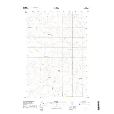 2020 Devils Kitchen2020 Print · USGSYellowstone and Treasure Counties are shown here in the 2020s, a landscape defined by ranching infrastructure and complex topography. Local historians can trace the drainages of Rough Coulee and Sand Coulee or locate water sources like Horton Reservoir.
 - 2020 Map of Steie Ranch, 2020 Print
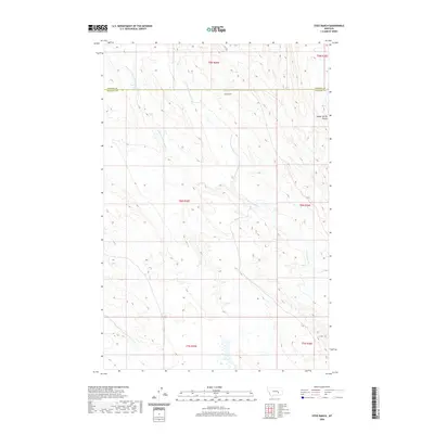 2020 Steie Ranch2020 Print · USGSRosebud and Treasure counties appear in this recent survey of Montana's ranching country. Researchers can trace the drainage of Froze to Death Cr and its forks near Steie Ranch and the isolated Geyser Spring Coulee.
 - 2020 Map of Bighorn, 2020 Print
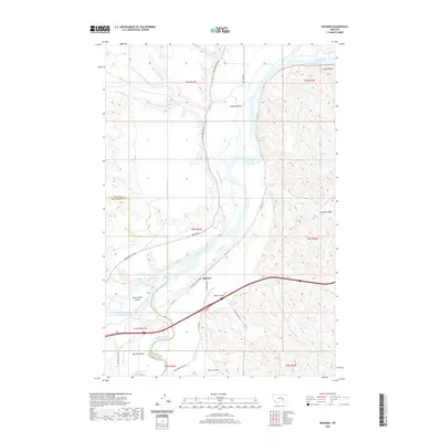 2020 Bighorn2020 Print · USGSBighorn and the surrounding river bottoms are captured here as they appeared in 2020 at the meeting of two major Montana waterways. Researchers can trace the irrigation history of Pease Bottom or locate family landmarks near Guys Bluffs and Government Island.
 - 2020 Map of Eldering Ranch, 2020 Print
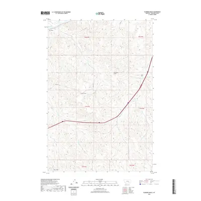 2020 Eldering Ranch2020 Print · USGSTreasure County ranching country is captured here in the early twenty-first century, showing the intersection of historic travel routes and rugged drainages. Trace the legacy of high-plains geography through Guys Bluffs, the Eldering Ranch, and the path of Old Hwy 10.
 - 2020 Map of Vananda, 2020 Print
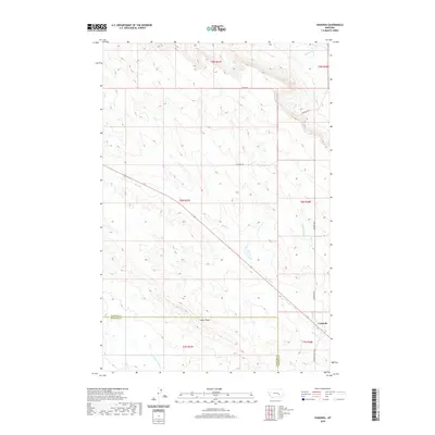 2020 Vananda2020 Print · USGSThe rural landscape of Rosebud and Treasure Counties is captured here in the modern era, centered on the settlement of Vananda. Genealogists and researchers can trace local landmarks like Cedar Ridge and the courses of Horse Cr or Anderson Cr.
 - 2020 Map of Woods Water, 2020 Print
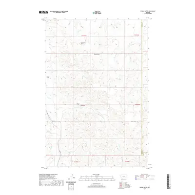 2020 Woods Water2020 Print · USGSRosebud and Treasure Counties are captured here in the 2020s, showing a vast ranching landscape shaped by seasonal water. Researchers can trace the drainage patterns of Sarpy Cr and find landmarks like Rattlesnake Butte and Haines Reservoir.
 - 2020 Map of McKonkey Creek, 2020 Print
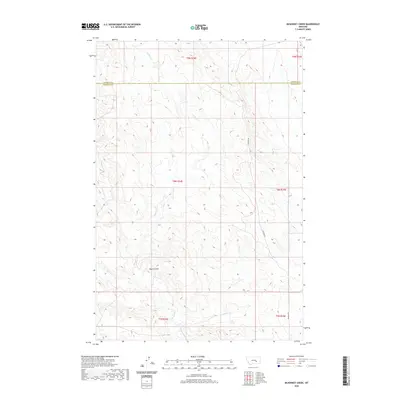 2020 McKonkey Creek2020 Print · USGSThe high plains of Rosebud and Treasure Counties are documented here in recent detail, showing a landscape defined by ranching and coulees. Local historians can trace the paths of McKonkey Cr and Muggins Cr or follow the route of Ingomar Rd.
 - 2020 Map of Minnehaha Creek North, 2020 Print
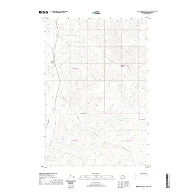 2020 Minnehaha Creek North2020 Print · USGSTreasure County ranchland is documented here in the early twenty-first century, showing the drainage of Sarpy Creek and the surrounding coulees. Researchers can trace the network of local routes like Beaver Creek Road and landmarks like Outlaw Spring.
 - 2020 Map of Ahles, 2020 Print
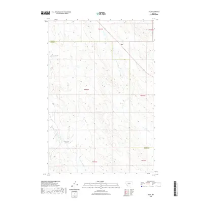 2020 Ahles2020 Print · USGSEastern Montana ranching country is documented here in the early twenty-first century as it spans the Rosebud and Treasure County line. Researchers can trace the path of Highway 12 and historical drainages like Starved to Death Cr and Froze to Death Cr.
 - 2020 Map of Mission Creek, 2020 Print
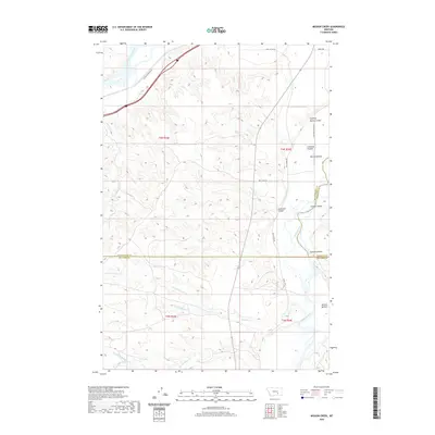 2020 Mission Creek2020 Print · USGSThe confluence of the Bighorn and Yellowstone rivers comes into focus in this recent survey. Researchers can trace land patterns across Mission Bottom and locate features like the Victory Ditch and Fighting Spring Coulee.
 - 2020 Map of Griffin Coulee SW, 2020 Print
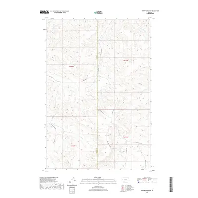 2020 Griffin Coulee SW2020 Print · USGSSoutheastern Montana's ranching country is mapped here in the early twenty-first century, showing the remote borderlands of Treasure and Rosebud Counties. Researchers can trace the winding paths of Reservation Creek Rd and Warren Rd through coulees drained by Blacktail Cr and Bear Cr.
 - 2020 Map of Mexican Buttes, 2020 Print
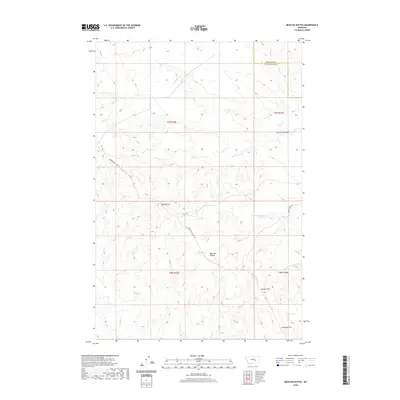 2020 Mexican Buttes2020 Print · USGSThe high plains of the Yellowstone-Treasure county border are documented here in the early twenty-first century. Researchers can trace the path of Musselshell Trail Rd as it passes notable landmarks like Mexican Buttes and Twin Buttes.
 - 2020 Map of Hysham, 2020 Print
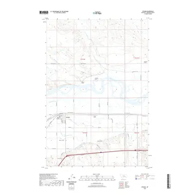 2020 Hysham2020 Print · USGSThe Treasure County seat of Hysham and the fertile Yellowstone River valley are shown here in the early 2020s. Researchers can trace local irrigation history via the Hysham Main Canal or locate family landmarks like the Memorial Vale Cem and Treasure County Courthouse.
 - 2020 Map of South Bear Creek, 2020 Print
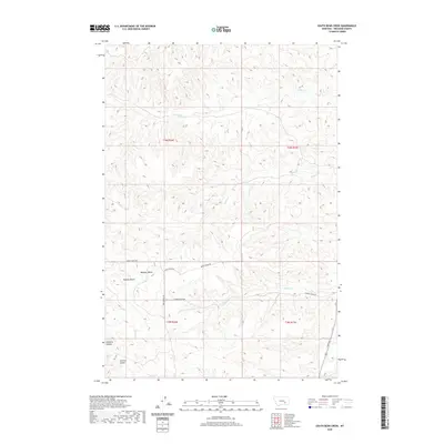 2020 South Bear Creek2020 Print · USGSTreasure County ranchlands are documented here in the early twenty-first century, showing a landscape defined by deep coulees and isolated buttes. Genealogists and researchers can trace local landmarks like Whiskey Butte, Eldering Ranch, and Hollister Coulee.
 - 2020 Map of Sanders, 2020 Print
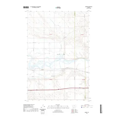 2020 Sanders2020 Print · USGSThe Yellowstone River valley in Treasure County comes into focus in this recent survey. Local historians and genealogists can trace the rural landscape around Sanders, including the Yellowstone Canal and distinctive landmarks like Starved to Death Cr.
 - 2020 Map of Myers, 2020 Print
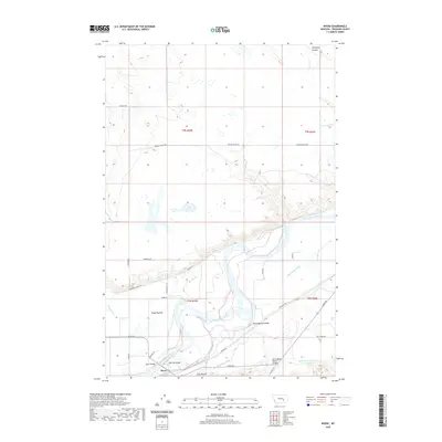 2020 Myers2020 Print · USGSTreasure County life centers on the river valley as it appeared in the early twenty-first century. Genealogists and local historians can trace irrigation networks like Rancher Ditch and find landmarks such as Howrey Island and the settlement of Myers.
 - 2020 Map of Rancher Cemetery, 2020 Print
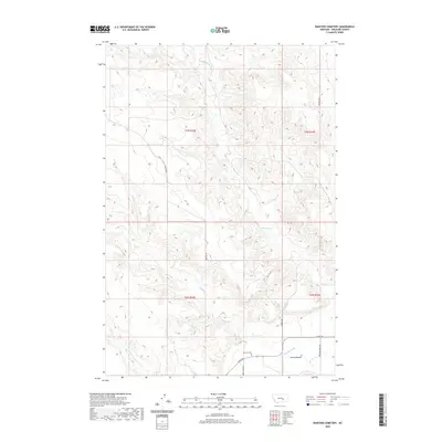 2020 Rancher Cemetery2020 Print · USGSTreasure County is depicted here in the contemporary era, showing a landscape defined by traditional ranching and river-bottom agriculture. Genealogists can locate Rancher Cem near the irrigation waters of Rancher Ditch and the settlement at Pease Bottom.
 - 2020 Map of Marsh Coulee, 2020 Print
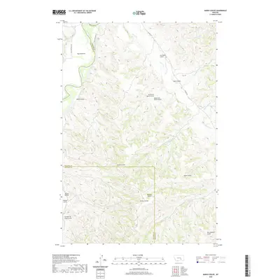 2020 Marsh Coulee2020 Print · USGSBig Sky Country ranching and river geography are on full display at the intersection of Yellowstone, Big Horn, and Treasure counties. Genealogists and historians can trace family-named landmarks across the breaks, from Mission Bottom to Joe Black Coulee and Eckman Coulee.
 - 2020 Map of Custer, 2020 Print
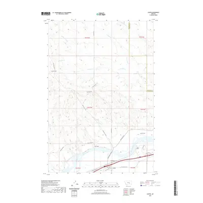 2020 Custer2020 Print · USGSCuster and the surrounding river breaks are mapped here in the modern era, showing the intersection of the Yellowstone Valley and the rugged high plains. Trace the paths of the Musselshell Trail Rd and Pease Bottom Rd or locate the Bighorn Tunnel.
 - 2020 Map of Ruskosky Ridge, 2020 Print
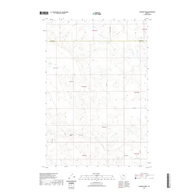 2020 Ruskosky Ridge2020 Print · USGSBig Sky ranching country at the Rosebud and Treasure county line is documented here in the early twenty-first century. Researchers can trace remote livestock routes like Butte Camp Rd and explore landmarks like Ruskosky Ridge or Bone Coulee.
 - 2020 Map of Hope Ranch, 2020 Print
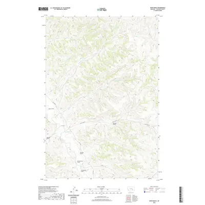 2020 Hope Ranch2020 Print · USGSTreasure County ranching country is documented here in the early twenty-first century, showing the enduring land patterns of the Montana plains. Genealogists and local historians can trace family-named landmarks like West Bosshart Coulee and the site of Hope Ranch.
 - 2020 Map of Scraper Coulee, 2020 Print
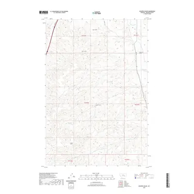 2020 Scraper Coulee2020 Print · USGSTreasure County in the early twenty-first century is revealed as a landscape of intricate drainages and agricultural water management. Genealogists and researchers can trace local landmarks like Cemetery Rd or locate the headwaters of Scraper Coulee and the Hysham Canal.
 - 2020 Map of Griffin Coulee NW, 2020 Print
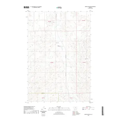 2020 Griffin Coulee NW2020 Print · USGSRosebud and Treasure counties come together in this 2020 landscape defined by deep drainage networks and township boundaries. Researchers can trace the courses of Cache Coulee, Reservation Cr, and Blacktail Cr across the surveyed grid.
 - 2020 Map of Minnehaha Creek South, 2020 Print
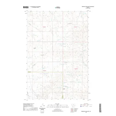 2020 Minnehaha Creek South2020 Print · USGSBig Horn and Treasure counties meet in this high-plains landscape during the early 21st century, where the mountains give way to a network of vital springs and deep coulees. Researchers can trace the drainages of Horse Cr and Sarpy Cr or locate family landmarks in Willoughby Coulee and the Little Wolf Mountains.
 - 2020 Map of Iron Spring, 2020 Print
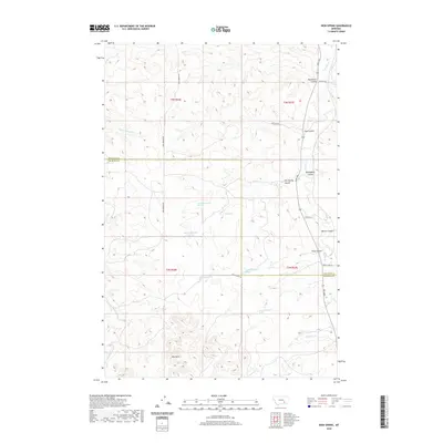 2020 Iron Spring2020 Print · USGSTreasure and Big Horn counties are surveyed here in 2020, showing a landscape of ranch roads and vital water sources. Trace local geography through Red Hills and the winding Sarpy Creek, or locate specific sites like Iron Spring.
Showing maps 1-25 of 62
Top cities of Treasure County
Frequently asked questions
- What are the different types of historical maps available for Treasure County?
- What is the oldest map of Treasure County?
- Where can I purchase historical maps of Treasure County for my home or office?
- Where can I download high-res historical maps of Treasure County?
- Are there historical topographic maps available for Treasure County?
- Is there historical aerial imagery available for Treasure County?
- Where are historical maps of Treasure County sourced from?