2000s (21st Century) Maps of Treasure County, Montana
Explore 155 historic maps of Treasure County from the 2000s (21st Century). These maps offer a rare glimpse into what life looked like during the 2000s — showing old roads, neighborhoods, homes, and landmarks that have changed or disappeared over time.
Whether you're researching your family's past, planning a metal detecting trip, or studying how Treasure County's landscape evolved across the 2000s, these high-resolution maps are a powerful tool for exploring the history of this region.
- Focus on a specific era: All maps on this page are from the 2000s, giving you a focused view of this time period.
- See what’s changed: Compare century-old streets, trails, and buildings to today's modern landscape using overlays and satellite layers.
- Research with precision: Use these maps for genealogy, historical research, land use analysis, or educational projects.
- View, download, or print: Maps are fully viewable online in high resolution, and can be downloaded or printed for your own records.
Start exploring Treasure County's history through authentic maps from the 2000s. This is your window into the past.
Treasure County, MT maps
(155)- 2011 Map of Dudley Spring, 2011 Print
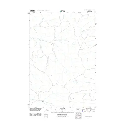 2011 Dudley Spring2011 Print · USGSBig Horn County in the early twenty-first century reveals a remote landscape of prairie watersheds and ranching landmarks. Genealogists and local historians can trace family-named sites like Old Ford Place and distinctive terrain such as Poverty Flats or Rough Springs Coulee.
 - 2011 Map of Wolf School, 2011 Print
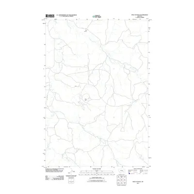 2011 Wolf School2011 Print · USGSTreasure County is captured here in the early twenty-first century, showcasing the balance between ranching landscapes and industrial mining. You can trace the geography of the Sarpy Creek Mine and locate the small settlement of Kuehn.
 - 2011 Map of Minnehaha Creek South, 2011 Print
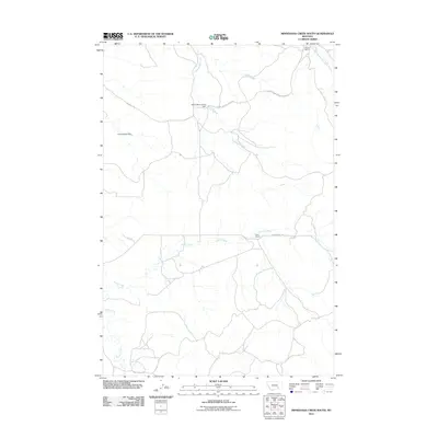 2011 Minnehaha Creek South2011 Print · USGSTreasure County ranch lands are documented here in the early twenty-first century, showcasing the vital water networks of the Montana interior. Researchers can locate established sites like Wilson Ranch, Hays Ranch, and the Yellow Sarpy Dam.
 - 2011 Map of Iron Spring, 2011 Print
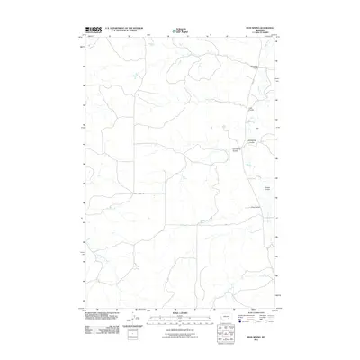 2011 Iron Spring2011 Print · USGSTreasure County ranchlands in the early twenty-first century are defined by the remote settlements and seasonal drainages of the Montana plains. Researchers can trace the layout of family operations like Padlock Ranch and historic sites such as the Wolf School and Iron Spring.
 - 2011 Map of Hammond Ranch, 2011 Print
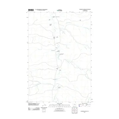 2011 Hammond Ranch2011 Print · USGSTreasure County ranch lands are documented here in the early twenty-first century, showing the remote cattle-country terrain of south-central Montana. Researchers can locate specific family operations like Hammond Ranch and landmarks like Sullinger Bottom or Gass Flat.
 - 2011 Map of Sarpy School, 2011 Print
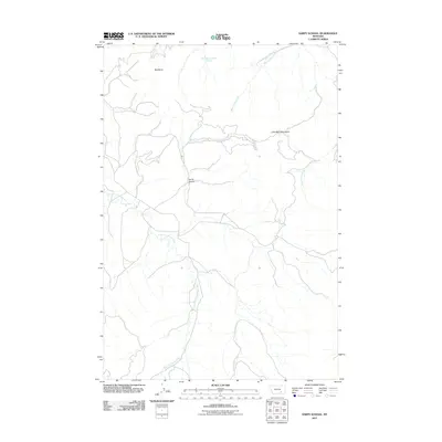 2011 Sarpy School2011 Print · USGSRosebud County, Montana, is captured in this 2011 survey during a period of modern ranching and resource management. Researchers can trace the elevation changes from the Little Wolf Mountains down through Harris Canyon and East Fork Sarpy Creek.
 - 2011 Map of McClure Creek, 2011 Print
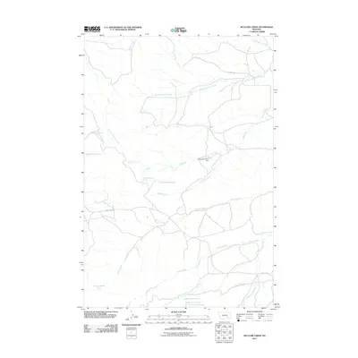 2011 McClure Creek2011 Print · USGSRosebud County at the start of the 2010s reveals a landscape etched by water and early ranching routes. Genealogists and researchers can trace the drainages of Mcclure Creek and Donley Creek or locate landmarks like Farleys Number 1 Dam.
 - 2011 Map of Hope Ranch, 2011 Print
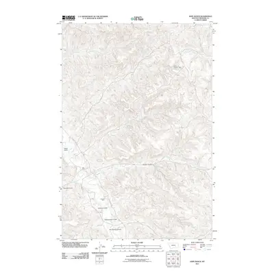 2011 Hope Ranch2011 Print · USGSTreasure County ranchlands are documented here in the early twenty-first century, showing a landscape shaped by water and wire. Researchers can trace land use through Hope Ranch and Anderson Ranch, or map the drainages of Tullock Creek and Hollister Coulee.
 - 2011 Map of Mission Creek, 2011 Print
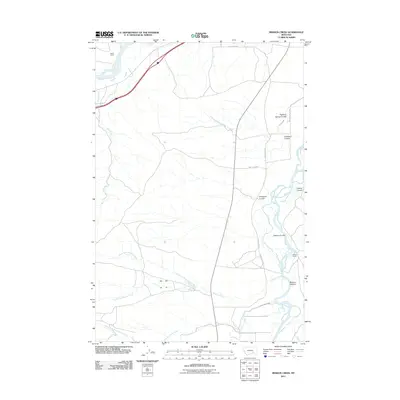 2011 Mission Creek2011 Print · USGSYellowstone and Bighorn River valley life is captured here in the early twenty-first century, showing a landscape defined by ranching and irrigation. Genealogists and historians can locate family holdings like Steele Ranch or trace the routes of Old Custer Rd and Victory Ditch.
 - 2011 Map of Bighorn, 2011 Print
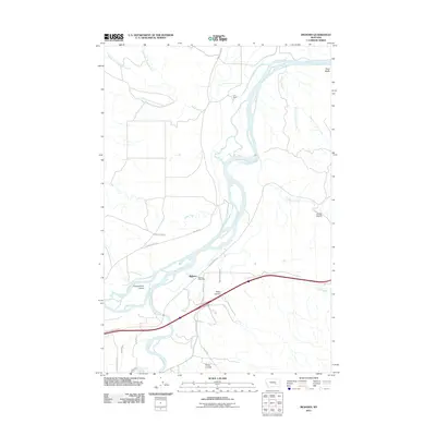 2011 Bighorn2011 Print · USGSThe Bighorn and Yellowstone rivers meet in Treasure County at the start of the 2010s, defining a landscape shaped by river commerce and irrigation. Researchers can trace the layout of the Bighorn settlement and find historic points like the Bighorn Post Office and Fort Pease.
 - 2011 Map of Steie Ranch, 2011 Print
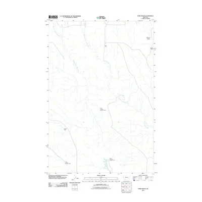 2011 Steie Ranch2011 Print · USGSThis Rosebud County landscape at the start of the 2010s reveals a high-plains ranching environment focused on water management. Researchers can trace the drainage of Froze to Death Creek and locate local landmarks like Steie Ranch, Rockwell Dam, and Bassett Dam.
 - 2011 Map of Weed Creek East, 2011 Print
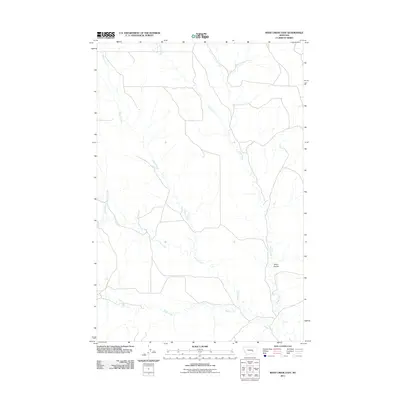 2011 Weed Creek East2011 Print · USGSYellowstone County's open ranchlands and drainage networks are meticulously documented in the early twenty-first century. Researchers can trace the winding paths of Injun Creek and Indian Creek as they meet near the distinctive Stove Coulee.
 - 2011 Map of Woods Water, 2011 Print
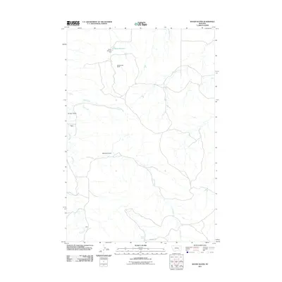 2011 Woods Water2011 Print · USGSRosebud County, Montana, was recorded in the early twenty-first century as a land of deep coulees and essential water sources. Researchers can trace the ranching footprint across the plains from Criswell Ranch to landmarks like Rattlesnake Butte and Woods Water.
 - 2011 Map of Custer, 2011 Print
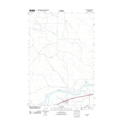 2011 Custer2011 Print · USGSCuster and the Yellowstone River valley are documented here in the early twenty-first century, showing the intersection of ranching and transport. Researchers can trace land use at Larsen Ranch, examine the Bighorn Tunnel, and locate the Custer Vol Fire Dept.
 - 2011 Map of Ahles, 2011 Print
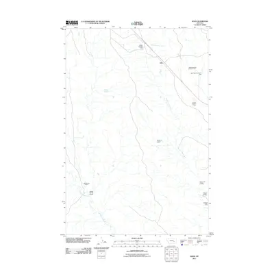 2011 Ahles2011 Print · USGSRosebud County, Montana, is depicted in the early 21st century as a landscape defined by ranching dams and distinctively named frontier waterways. Researchers can locate the settlement of Ahles and trace mining sites like the NW Starved to Death 24 Mine near Froze to Death Creek.
 - 2011 Map of Hysham, 2011 Print
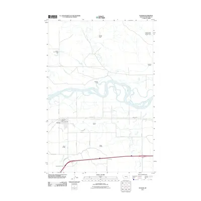 2011 Hysham2011 Print · USGSHysham and the surrounding Treasure County ranchlands are documented here at the start of the twenty-first century as they interact with the winding Yellowstone River. Researchers can locate civic landmarks like the Hysham Post Office or trace the family-named draws of Miller Coulee and Johnston Coulee.
 - 2011 Map of Rancher Cemetery, 2011 Print
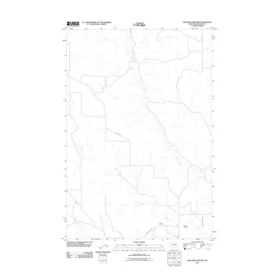 2011 Rancher Cemetery2011 Print · USGSTreasure County ranch lands and river bottom geography are documented in this recent survey of the Yellowstone valley outskirts. Genealogists and local historians can locate Rancher Cemetery and trace the paths of Muggins Creek and Alkali Creek.
 - 2011 Map of Scraper Coulee, 2011 Print
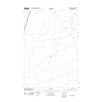 2011 Scraper Coulee2011 Print · USGSTreasure County rangeland comes into focus in the early 2000s, showing a landscape shaped by ranching and essential water sources. Researchers can trace land use through features like Garverich Ranch, Sweetzer Dam, and Sandrock Spring.
 - 2011 Map of Ruskosky Ridge, 2011 Print
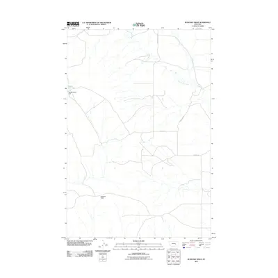 2011 Ruskosky Ridge2011 Print · USGSRosebud County, Montana, is mapped here in the early twenty-first century, revealing a sparse ranching landscape defined by the drainage of Muggins Creek. Local historians can trace the paths of S Sumatra Hysham Rd and Horse Camp Rd as they navigate the terrain near Ruskosky Ridge.
 - 2011 Map of Mexican Buttes, 2011 Print
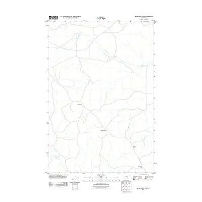 2011 Mexican Buttes2011 Print · USGSYellowstone County's high plains are documented here in the early 21st century, showing a remote landscape shaped by water and wind. Researchers can trace the path of the Musselshell Trail Rd as it winds past Mexican Buttes and Bender Hill.
 - 2011 Map of Vananda, 2011 Print
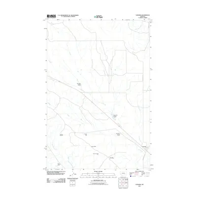 2011 Vananda2011 Print · USGSThe high plains of Rosebud County are captured here in the early 2000s, showing a landscape defined by industrial mining and vital water management. Researchers can locate several active sites such as the NW Cedar Ridge Mine and trace the course of Horse Creek and its many dams.
 - 2011 Map of Sanders, 2011 Print
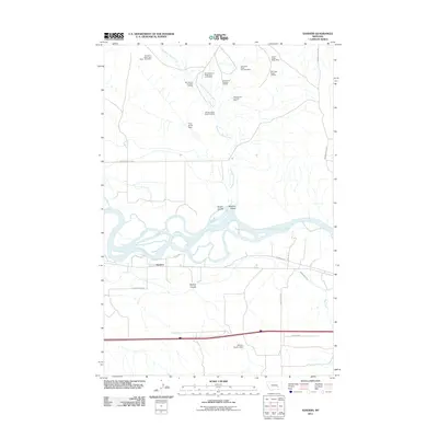 2011 Sanders2011 Print · USGSTreasure County ranching and mining operations meet along the banks of the Yellowstone River in the early 2010s. Researchers can locate specific industrial sites like the SW Starved to Death-23 Mine and irrigation landmarks such as the Yellowstone Canal.
 - 2011 Map of South Bear Creek, 2011 Print
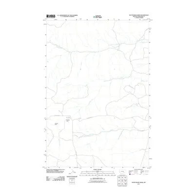 2011 South Bear Creek2011 Print · USGSTreasure County ranching country comes into focus in the early twenty-first century, showing a landscape defined by seasonal creek beds and high buttes. Researchers can trace land use around Barnes Ranch and locate remote features like Whiskey Butte or Barrot Spring.
 - 2011 Map of McKonkey Creek, 2011 Print
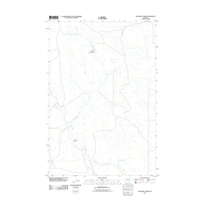 2011 McKonkey Creek2011 Print · USGSRosebud County ranching country is captured here in the early twenty-first century, showing a landscape defined by water management and drainage. Researchers can trace the path of Ingomar Rd and locate the Big Timber Livestock Number 1 Dam near Willow Creek.
 - 2011 Map of Marsh Coulee, 2011 Print
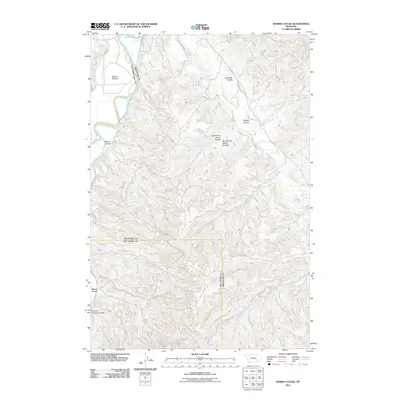 2011 Marsh Coulee2011 Print · USGSYellowstone County's rugged drainage basins are documented here in the early twenty-first century, centered on the Bighorn River valley. Researchers can trace land features like Big Ox Bottom, Joe Black Coulee, and the evocative Fountain of Youth Coulee.
Showing maps 1-25 of 155
Top cities of Treasure County
Frequently asked questions
- What are the different types of historical maps available for Treasure County?
- What is the oldest map of Treasure County?
- Where can I purchase historical maps of Treasure County for my home or office?
- Where can I download high-res historical maps of Treasure County?
- Are there historical topographic maps available for Treasure County?
- Is there historical aerial imagery available for Treasure County?
- Where are historical maps of Treasure County sourced from?