2010s Maps of Eastern Navajo Agency, New Mexico
Explore 403 historic maps of Eastern Navajo Agency from the 2010s. These maps offer a rare glimpse into what life looked like during the 2010s — showing old roads, neighborhoods, homes, and landmarks that have changed or disappeared over time.
Whether you're researching your family's past, planning a metal detecting trip, or studying how Eastern Navajo Agency's landscape evolved across the 2010s, these high-resolution maps are a powerful tool for exploring the history of this region.
- Focus on a specific era: All maps on this page are from the 2010s, giving you a focused view of this time period.
- See what’s changed: Compare century-old streets, trails, and buildings to today's modern landscape using overlays and satellite layers.
- Research with precision: Use these maps for genealogy, historical research, land use analysis, or educational projects.
- View, download, or print: Maps are fully viewable online in high resolution, and can be downloaded or printed for your own records.
Start exploring Eastern Navajo Agency's history through authentic maps from the 2010s. This is your window into the past.
Eastern Navajo Agency, NM maps
(403)- 2010 Map of Bisti Trading Post, 2010 Print
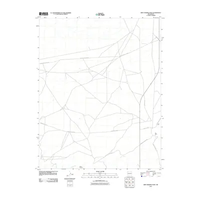 2010 Bisti Trading Post2010 Print · USGSThe Shiprock Agency region is documented here in the early twenty-first century, showing the intersection of essential desert infrastructure and remote commerce. Trace the desert roads surrounding Bisti Trading Post and follow the path of Hunter Wash near the Bisti Clinic.
 - 2010 Map of Pretty Rock, 2010 Print
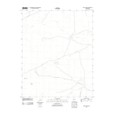 2010 Pretty Rock2010 Print · USGSThe Eastern Navajo Agency in the early twenty-first century is a land defined by its vital watercourses and service roads. Genealogists and local historians can trace routes like Indian Service Route 7022 and landmarks such as Pretty Rock or Black Lake.
 - 2010 Map of Kirtland SE, 2010 Print
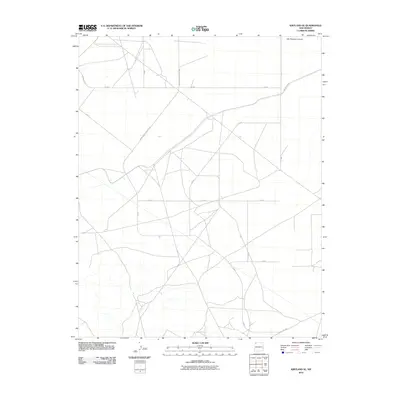 2010 Kirtland SE2010 Print · USGSThe Shiprock Agency region in the early 2000s is defined by a vast network of tribal infrastructure and desert terrain. Researchers can trace the layout of Indian Service Route 5085 and Ind Route 4050 as they pass near Ojo Amarillo Canyon.
 - 2010 Map of East of Grey Hill Spring, 2010 Print
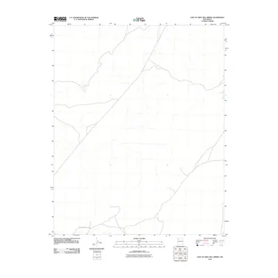 2010 East of Grey Hill Spring2010 Print · USGSThe high desert landscape of New Mexico is captured here in the first decade of the millennium. Local history enthusiasts can trace the path of Indian Service Route 9652 as it winds through this remote sector of the Fort Defiance Agency.
 - 2010 Map of Kin Klizhin Ruins, 2010 Print
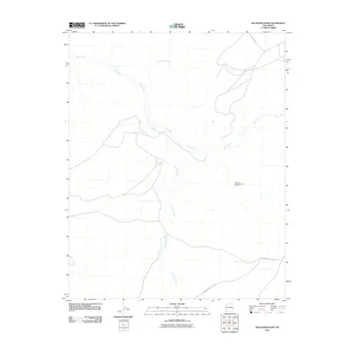 2010 Kin Klizhin Ruins2010 Print · USGSThe Eastern Navajo Agency in the early 2000s remains a landscape of deep cultural history and desert watercourses. Researchers can trace the drainage of Kin Klizhin Wash and Chaco River or locate the Bisa'ani Archaeological District.
 - 2010 Map of Alamo Mesa West, 2010 Print
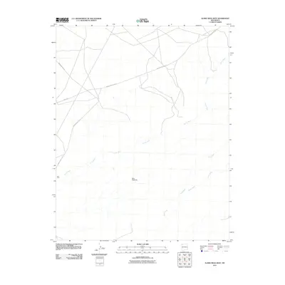 2010 Alamo Mesa West2010 Print · USGSThe Eastern Navajo Agency in the early 2000s reveals a desert landscape shaped by seasonal watercourses and essential service routes. Researchers can trace the drainage patterns of Hunter Wash or locate the site of the Bisti Clinic near the Bisti Badlands.
 - 2010 Map of Chimney Hill, 2010 Print
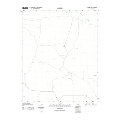 2010 Chimney Hill2010 Print · USGSThe Eastern Navajo Agency landscape at the turn of the decade is defined by its seasonal waters and high-desert terrain. Researchers can locate isolated settlements like Reed and Woodart or trace the geography of Peñasco Bluff and Chimney Lake.
 - 2010 Map of Cerro Alto, 2010 Print
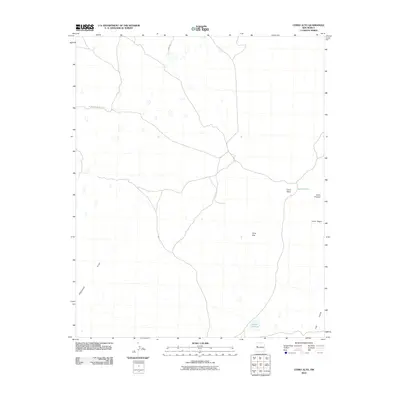 2010 Cerro Alto2010 Print · USGSThe Eastern Navajo Agency at the start of the 21st century reveals a landscape defined by isolated peaks and remote desert roads. Researchers can trace the routes of Indian Service Route 142 between landmarks like Cerro Alto and Laguna Colorada.
 - 2010 Map of Cerro Brillante, 2010 Print
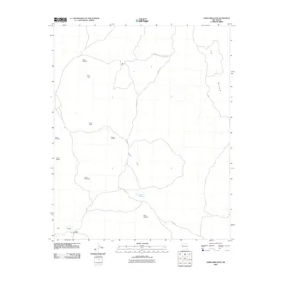 2010 Cerro Brillante2010 Print · USGSVolcanic peaks and vast lava fields define this New Mexico landscape during the early twenty-first century. Researchers can trace the network of County Rd 42 as it winds through El Malpais National Monument past Laguna Brillante.
 - 2010 Map of Shoemaker Canyon SE, 2010 Print
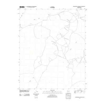 2010 Shoemaker Canyon SE2010 Print · USGSNavajo Agency lands are revealed in the early twenty-first century as a network of vital service routes and seasonal watercourses. Researchers can locate Mares Cemetery, the settlement at Los Pinitos, and the path of Terrero Draw.
 - 2010 Map of Carson Trading Post, 2010 Print
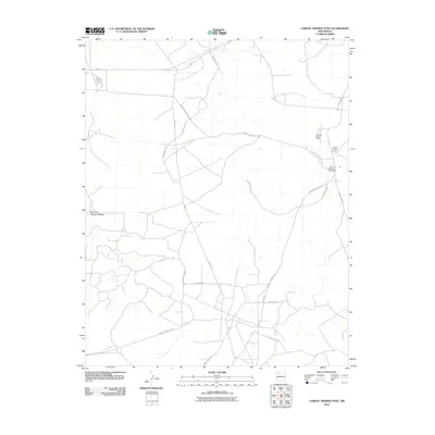 2010 Carson Trading Post2010 Print · USGSThe Eastern Navajo Agency in the early 2000s remains centered on vital community hubs and trading traditions. Researchers can locate tribal landmarks like the Huerfano Chapter House and Huerfano Reservation Dormitory along the remote Indian Service Route 5.
 - 2010 Map of West of La Vida Mission, 2010 Print
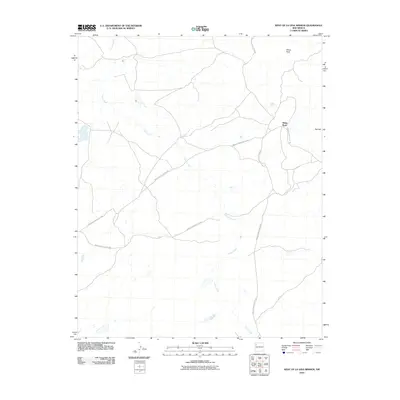 2010 West of La Vida Mission2010 Print · USGSThe high desert landscape west of the La Vida Mission is captured here as it appeared in the early 2000s. Researchers can trace the path of Indian Creek or locate landmarks like White Rock and the service roads Indian Service Route 7080 and Indian Service Route 108.
 - 2010 Map of The Pillar, 2010 Print
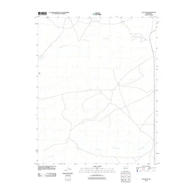 2010 The Pillar2010 Print · USGSThe high desert landscape of the Navajo Nation is documented here just after the turn of the millennium. Local researchers can trace the seasonal drainage of Pinabete Arroyo and Brimhall Wash or locate the namesake geological landmark of The Pillar.
 - 2010 Map of East of Great Bend, 2010 Print
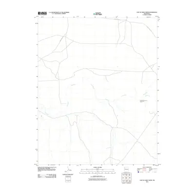 2010 East of Great Bend2010 Print · USGSThe high desert of the Shiprock Agency is documented here in the early twenty-first century as it borders the winding Chaco River. Researchers can trace the protected grounds of the Great Bend Community Archaeological District and the paths of the Indian Service Rte.
 - 2010 Map of Tanner Lake, 2010 Print
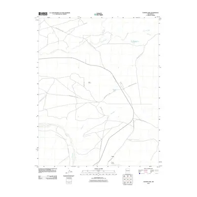 2010 Tanner Lake2010 Print · USGSThe high desert landscape of the Eastern Navajo Agency is documented here in the early twenty-first century. Researchers can trace the path of the Chaco River and find localized landmarks like Tsaya, Tanner Lake, and the Chaco Wash Pit.
 - 2010 Map of Cerro Pomo, 2010 Print
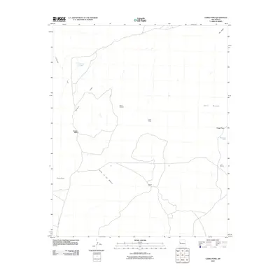 2010 Cerro Pomo2010 Print · USGSEastern Navajo Agency ranchlands and volcanic peaks come into focus in this late-aughts survey. Genealogists and local historians can locate remote outposts like Grassie Place, Mujeres Camp, and water sources such as Julian Windmill.
 - 2010 Map of La Rendija, 2010 Print
 2010 La Rendija2010 Print · USGSThe Eastern Navajo Agency rangelands are seen here in the early twenty-first century, a landscape where water and distance dictate the rhythm of life. Genealogists and local historians can trace isolated landmarks like Julian Place, Luis Well, and the seasonal Laguna Macho.
 - 2010 Map of Shoemaker Canyon, 2010 Print
 2010 Shoemaker Canyon2010 Print · USGSThe Eastern Navajo Agency in the early 2000s shows a landscape of deep canyons and seasonal draws. Trace the rural developments around Aragon Springs and Ojo Pueblo, or locate landmarks like the Candy Kitchen Ranch Airport.
 - 2010 Map of Hunter Wash, 2010 Print
 2010 Hunter Wash2010 Print · USGSShiprock Agency territory at the turn of the twenty-first century reveals a landscape shaped by the Chaco River and high plateau terrain. Researchers can trace the path of De-na-zin Wash and the network of the Indian Service Rte.
 - 2010 Map of Pueblo Viejo Mesa, 2010 Print
 2010 Pueblo Viejo Mesa2010 Print · USGSNew Mexico's high desert plateaus and ranching history are detailed in this survey of the Eastern Navajo Agency during the early 2000s. Researchers can trace isolated livestock infrastructure and remote road networks like Red Lake Rd, Red Lake Ranch, and Victorino Spring.
 - 2010 Map of Puerto De Los Cavadores, 2010 Print
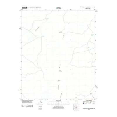 2010 Puerto De Los Cavadores2010 Print · USGSThe high mesas of the Eastern Navajo Agency are mapped here during the early twenty-first century, showing a landscape defined by ranching and natural passes. Researchers can locate the Spreen Ranch and trace vital water sources like Crowder Tank and Arroyo Pato across the Sierra Lucero.
 - 2010 Map of Kimbeto, 2010 Print
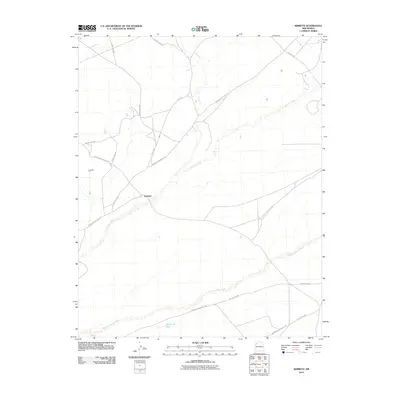 2010 Kimbeto2010 Print · USGSThe Eastern Navajo Agency is documented here in the early twenty-first century as a landscape of intermittent washes and vital service roads. Researchers can trace the local hubs of Kimbeto and Kimbeto T P alongside features like Hollow Pit Tank.
 - 2010 Map of Huerfano Trading Post, 2010 Print
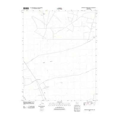 2010 Huerfano Trading Post2010 Print · USGSNew Mexico's high-desert landscape in the Eastern Navajo Agency is documented here during the early twenty-first century. Researchers can trace the layout of the Huerfano Trading Post, locate the EPNG RR Camp, and follow the path of Indian Service Route 7023.
 - 2010 Map of Thompson Mesa, 2010 Print
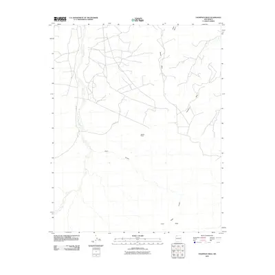 2010 Thompson Mesa2010 Print · USGSThe Eastern Navajo Agency's high desert plateaus are documented here in the first decade of the 2000s. Researchers can trace rural routes like El Paso Rd as they wind between landmarks like Thompson Mesa and Dufers Point.
 - 2010 Map of Deer Mesa, 2010 Print
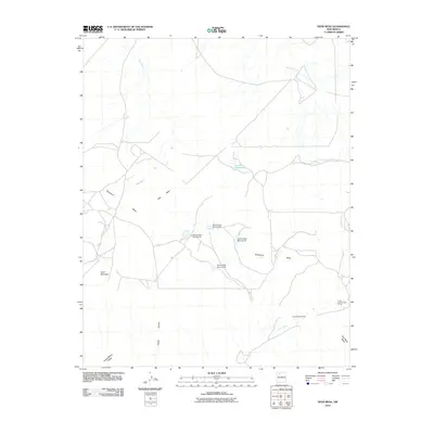 2010 Deer Mesa2010 Print · USGSThe Eastern Navajo Agency in the early 21st century reveals a landscape of water engineering and high-desert plateaus. Trace the network of seasonal drainages and local landmarks including the Alexander Windmill, Armijo Reservoir, and the series of numbered Encino Dams.
Showing maps 1-25 of 403
Top cities near Eastern Navajo Agency
Top neighborhoods of Eastern Navajo Agency
- Bisti historical maps
- Nahodishgish historical maps
- Tinaja historical maps
- El Morro historical maps
- El Morro historical maps
- Ramah historical maps
See more
Frequently asked questions
- What are the different types of historical maps available for Eastern Navajo Agency?
- What is the oldest map of Eastern Navajo Agency?
- Where can I purchase historical maps of Eastern Navajo Agency for my home or office?
- Where can I download high-res historical maps of Eastern Navajo Agency?
- Are there historical topographic maps available for Eastern Navajo Agency?
- Is there historical aerial imagery available for Eastern Navajo Agency?
- Where are historical maps of Eastern Navajo Agency sourced from?