2020s Maps of Burke County, North Dakota
Explore 60 historic maps of Burke County from the 2020s. These maps offer a rare glimpse into what life looked like during the 2020s — showing old roads, neighborhoods, homes, and landmarks that have changed or disappeared over time.
Whether you're researching your family's past, planning a metal detecting trip, or studying how Burke County's landscape evolved across the 2020s, these high-resolution maps are a powerful tool for exploring the history of this region.
- Focus on a specific era: All maps on this page are from the 2020s, giving you a focused view of this time period.
- See what’s changed: Compare century-old streets, trails, and buildings to today's modern landscape using overlays and satellite layers.
- Research with precision: Use these maps for genealogy, historical research, land use analysis, or educational projects.
- View, download, or print: Maps are fully viewable online in high resolution, and can be downloaded or printed for your own records.
Start exploring Burke County's history through authentic maps from the 2020s. This is your window into the past.
Burke County, ND maps
(60)- 2020 Map of Beaver Lake, 2020 Print
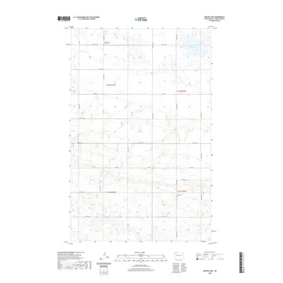 2020 Beaver Lake2020 Print · USGSNorthwestern North Dakota remains a landscape of high-prairie agriculture and scattered wetlands as the new century progresses. Genealogists can locate specific burial sites at Grand View Lutheran Cem and Tonset Cem or trace family land near Beaver Lake.
 - 2020 Map of Battleview, 2020 Print
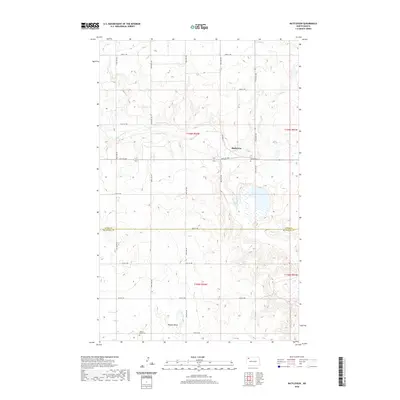 2020 Battleview2020 Print · USGSBattleview and the surrounding prairie of Burke and Mountrail counties are shown here in modern detail. Researchers can trace local history at Battleview, locate family plots at Beauty Valley Cem, or follow the course of White Earth Cr.
 - 2020 Map of Columbus SW, 2020 Print
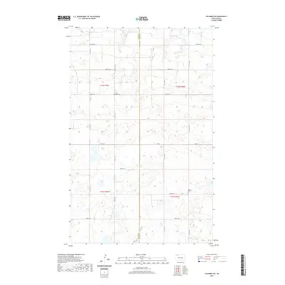 2020 Columbus SW2020 Print · USGSDivide and Burke counties meet in this 2020 landscape of glacial potholes and organized section-line roads. Genealogists can locate family landmarks like Prairie Chapel Cem and Larson Lutheran Cem near the headwaters of W Br Short Cr.
 - 2020 Map of Bowbells NE, 2020 Print
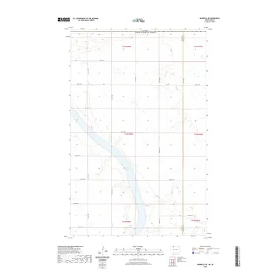 2020 Bowbells NE2020 Print · USGSThe international borderlands of Burke and Renville counties are shown here as they appeared recently, centered on the waters of Upper Des Lacs Lake. Researchers can trace the section-line road network, such as Co 2 and 101st St Nw, where they meet the Canadian border.
 - 2020 Map of Grand View, 2020 Print
 2020 Grand View2020 Print · USGSBurke County in the modern era remains a landscape of high prairie wetlands and quiet rural crossroads. Genealogists and local researchers can locate family sites near Scandia Cem, Grand View, and the shores of Carrie Lake.
 - 2020 Map of Lostwood Lakes, 2020 Print
 2020 Lostwood Lakes2020 Print · USGSNorth Dakota's prairie pothole region is shown here in the early twenty-first century as it spans the Burke and Mountrail county line. Genealogists and historians can locate several burial grounds like Nazareth Cem and Hide and Stone Cem among wetlands like Upper Lostwood Lake.
 - 2020 Map of Niobe, 2020 Print
 2020 Niobe2020 Print · USGSWard and Burke counties maintain their quiet agricultural character in this modern survey of the North Dakota plains. Genealogists and local historians can locate legacy sites like Bethany Lutheran Cem and Elmdale Lutheran Cem near the small settlement of Niobe.
 - 2020 Map of Flaxton, 2020 Print
 2020 Flaxton2020 Print · USGSNorth Dakota's northern border country is captured here during the recent era of modern prairie life. Genealogists and local historians can trace the townsite of Flaxton, find family names at Flaxton Rural Lutheran Cem, and follow the path of Stony Cr.
 - 2020 Map of Bowbells SE, 2020 Print
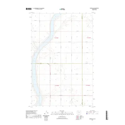 2020 Bowbells SE2020 Print · USGSThe Burke and Ward county borderlands are shown here in the contemporary era, centered on the eastern shore of the Upper Des Lacs Lake. Researchers can trace the section-line roads and rural corridors like 96th St NW and 506th St NW.
 - 2020 Map of Westby Lake, 2020 Print
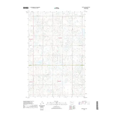 2020 Westby Lake2020 Print · USGSThe prairie pothole region of North Dakota is captured here in the early twenty-first century, showing the border of Burke and Mountrail counties. Local researchers can trace the hydrology of the plains through Westby Lake, Hoover Lake, and the winding Ford Slough.
 - 2020 Map of Atcoal, 2020 Print
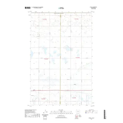 2020 Atcoal2020 Print · USGSDivide and Burke counties are shown in this modern survey of the North Dakota prairie, where the rural grid meets a landscape of scattered wetlands. Genealogists and local historians can locate Atcoal and the Assembly of God Cem along 102nd St NW.
 - 2020 Map of Portal, 2020 Print
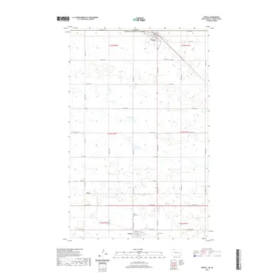 2020 Portal2020 Print · USGSThe international border at Portal and the nearby town of Lignite are shown here as they appeared in 2020. Local researchers can trace family roots through numerous burial grounds like Saint Marys Cem, Bethany Cem, and Norwegian Cem.
 - 2020 Map of Columbus, 2020 Print
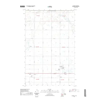 2020 Columbus2020 Print · USGSUpper Burke County near the Canadian border is shown here in the early twenty-first century, centered on the prairie town of Columbus. Family historians can locate several specific burial sites including Pleasant Prairie Cem, Saint Olaf Cem, and the Columbus Cem.
 - 2020 Map of Mosquito Butte, 2020 Print
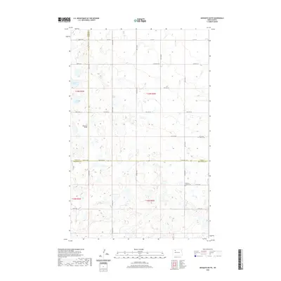 2020 Mosquito Butte2020 Print · USGSThe intersection of Burke, Ward, and Mountrail counties is captured here in the modern era, showing a landscape of prairie potholes and agricultural section lines. Genealogists can locate legacy sites like Our Saviors Lutheran Cem and Bethlehem Lutheran Cem near landmarks such as Mosquito Butte.
 - 2020 Map of Helde Lake, 2020 Print
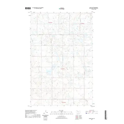 2020 Helde Lake2020 Print · USGSBurke County in the early twenty-first century reveals a highly organized rural landscape shaped by its glacial history. Researchers can trace the water levels of Helde Lake and Fish Lake or follow the path of the locally significant Kings Hwy.
 - 2020 Map of Lunds Valley, 2020 Print
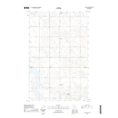 2020 Lunds Valley2020 Print · USGSThe northern plains around the turn of the twenty-first century are documented here, capturing the rural layout of the North Dakota borderlands. Genealogists and local historians can trace the vicinity of Lunds Valley and locate markers of early settlement at Saint James Cem and Bethel Lutheran Cem.
 - 2020 Map of Rennie Lake, 2020 Print
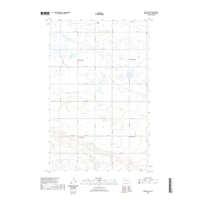 2020 Rennie Lake2020 Print · USGSThe rural landscape around Lignite is captured here during the early twenty-first century, showcasing the intersection of prairie wetlands and agricultural industry. Researchers can trace the drainage of East Branch Short Creek and locate property boundaries along Co Rd 4 and Rennie Lake.
 - 2020 Map of Bush Lake, 2020 Print
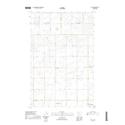 2020 Bush Lake2020 Print · USGSThe High Plains at the intersection of Divide, Burke, and Williams Counties are documented here in detail. Genealogists and local historians can trace the landscape around Our Saviors Cem and the natural drainages of White Earth Cr and Nelson Lake.
 - 2020 Map of Grubb Lake, 2020 Print
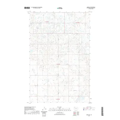 2020 Grubb Lake2020 Print · USGSBurke County’s glacial prairie landscape is documented in this recent survey, showing the intricate network of wetlands and section-line roads. Researchers can trace the drainage patterns of Grubb Lake and Muskie Lake or locate specific parcels along Smishek Lake Rd.
 - 2020 Map of Northgate, 2020 Print
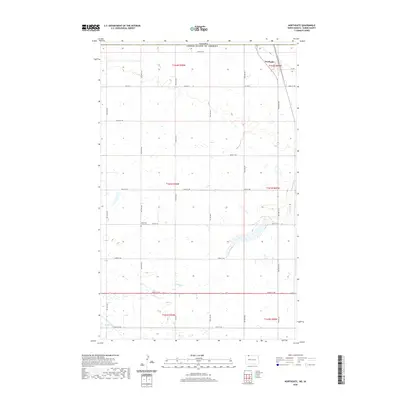 2020 Northgate2020 Print · USGSThe northern border of Burke County comes into focus in this recent survey of the high plains. Researchers can locate the Northgate community and the Ebenezer Lutheran Cem or trace the winding path of Stony Cr across the prairie.
 - 2020 Map of Stampede, 2020 Print
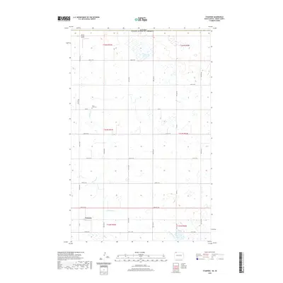 2020 Stampede2020 Print · USGSBurke County's northern plains are captured here in the contemporary era, right at the border with Canada. Genealogists and local historians can trace the rural landscape around Stampede, locating sites like the Short Creek Cem and the Strom Private Airport.
 - 2020 Map of Thompson Lake, 2020 Print
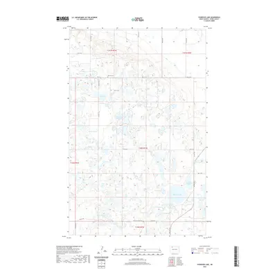 2020 Thompson Lake2020 Print · USGSBurke County at the start of the 2020s shows a landscape of expansive wetlands and scattered rural landmarks. Researchers can locate the Big Butte Cem or trace the routes of the National Hiking Trail and family-named landmarks like Docs Lake.
 - 2020 Map of Columbus SE, 2020 Print
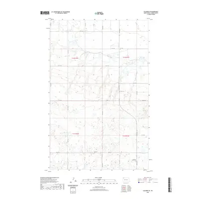 2020 Columbus SE2020 Print · USGSBurke County remains a landscape of quiet prairie and traditional farmsteads in the early twenty-first century. Genealogists and local historians can trace family roots through several rural burial grounds, including Bethlehem Lutheran Cem and Buckneberg Cem.
 - 2020 Map of Vanville NE, 2020 Print
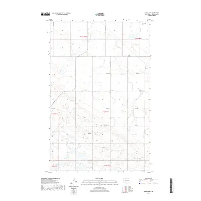 2020 Vanville NE2020 Print · USGSBurke County remains a landscape of wide-open prairie and scattered coulees in this modern topographic survey. Genealogists and local historians can locate Little Butte Cem and trace the drainage of Niobe Coulee past landmarks like Ward Hill.
 - 2020 Map of Woburn, 2020 Print
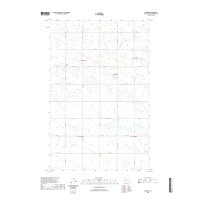 2020 Woburn2020 Print · USGSBurke County remains a landscape of section-line roads and prairie wetlands in this recent survey of the North Dakota plains. Genealogists and local historians can locate rural landmarks like the Dale Lutheran Cem, Zion Cem, and the settlement at Woburn.
Showing maps 1-25 of 60
Top cities of Burke County
- Bowbells historical maps
- Powers Lake historical maps
- Lignite historical maps
- Columbus historical maps
- Portal historical maps
- Battleview historical maps
See more
Frequently asked questions
- What are the different types of historical maps available for Burke County?
- What is the oldest map of Burke County?
- Where can I purchase historical maps of Burke County for my home or office?
- Where can I download high-res historical maps of Burke County?
- Are there historical topographic maps available for Burke County?
- Is there historical aerial imagery available for Burke County?
- Where are historical maps of Burke County sourced from?