2010s Maps of Duval County, Texas
Explore 168 historic maps of Duval County from the 2010s. These maps offer a rare glimpse into what life looked like during the 2010s — showing old roads, neighborhoods, homes, and landmarks that have changed or disappeared over time.
Whether you're researching your family's past, planning a metal detecting trip, or studying how Duval County's landscape evolved across the 2010s, these high-resolution maps are a powerful tool for exploring the history of this region.
- Focus on a specific era: All maps on this page are from the 2010s, giving you a focused view of this time period.
- See what’s changed: Compare century-old streets, trails, and buildings to today's modern landscape using overlays and satellite layers.
- Research with precision: Use these maps for genealogy, historical research, land use analysis, or educational projects.
- View, download, or print: Maps are fully viewable online in high resolution, and can be downloaded or printed for your own records.
Start exploring Duval County's history through authentic maps from the 2010s. This is your window into the past.
Duval County, TX maps
(168)- 2010 Map of Mills Bennett, 2010 Print
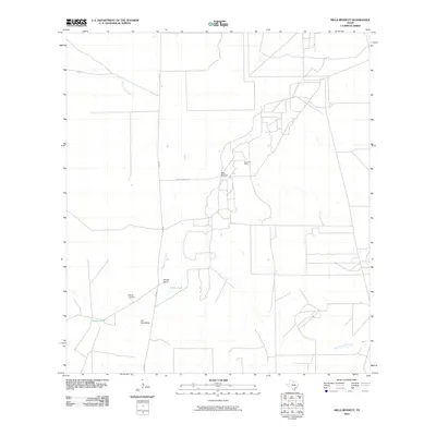 2010 Mills Bennett2010 Print · USGSWebb County ranching and oil operations are detailed here during the early twenty-first century. Genealogists and local historians can trace the grounds of Billings Ranch, Billings Cemetery, and the energy infrastructure of the Lopez Oil Field.
 - 2010 Map of San Pablo, 2010 Print
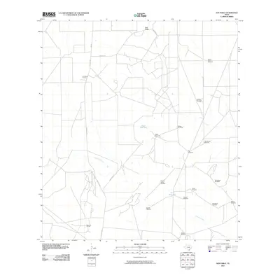 2010 San Pablo2010 Print · USGSRanching and resource extraction define this Webb County landscape in the early twenty-first century. Researchers can trace the water infrastructure of the brush country through named sites like Buena Suerte Windmill, Loma Blanca Cemetery, and the West Cole Oil Field.
 - 2010 Map of Biel Lake NE, 2010 Print
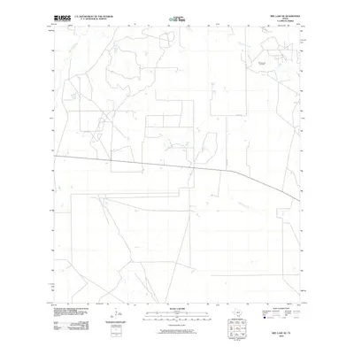 2010 Biel Lake NE2010 Print · USGSWebb County ranch land and energy infrastructure are surveyed here at the start of the decade. Researchers can trace the reach of the Charamusca Oil Field and follow rural routes like Co Rd 401 across Colmena Creek.
 - 2010 Map of Biel Lake SE, 2010 Print
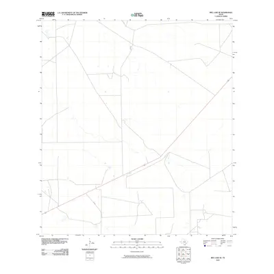 2010 Biel Lake SE2010 Print · USGSSouth Texas ranchland and isolated drainage systems are documented here during the early 2000s. Genealogists and local historians can trace the path of FM 2050 as it crosses this sparsely settled landscape of stock tanks and private ranching roads.
 - 2010 Map of Piedra Creek SE, 2010 Print
 2010 Piedra Creek SE2010 Print · USGSWebb County ranch lands and energy fields are mapped here during the early twenty-first century, showing the meandering Nueces River. Researchers can trace local water management through sites like Bowles Lake and the Rodriguez Oil Field.
 - 2010 Map of Freer South, 2010 Print
 2010 Freer South2010 Print · USGSThe brush country of Duval County is captured here in the early twenty-first century as oil production and residential expansion shaped the area. Genealogists and historians can locate specific family-named developments like George W Ward Addition Number 2 Colonia and the extensive Loma Novia Oil Field.
 - 2010 Map of San Jose, 2010 Print
 2010 San Jose2010 Print · USGSSouth Texas ranching country comes into focus at the turn of the decade, showing a landscape defined by seasonal creeks and family heritage. Researchers can trace ancestral roots through numerous local burial grounds, including Casas Cemetery, San Jose Cemetery, and Ramirez Cemetery.
 - 2010 Map of Rosita SE, 2010 Print
 2010 Rosita SE2010 Print · USGSThe ranching country of Duval County is captured here in the early twenty-first century as a landscape defined by water and family legacy. Genealogists and local historians can locate the Sepulveda Cemetery or trace the routes of Old Seven Sisters Rd and named landmarks like Sombrero Windmill.
 - 2010 Map of Clegg SW, 2010 Print
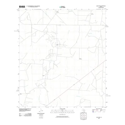 2010 Clegg SW2010 Print · USGSMcMullen County at the turn of the decade remains a landscape of ranching traditions and petroleum production. Researchers can locate the Campos Cemetery and trace the drainage patterns of Lagarto Creek and the Campana Oil Field.
 - 2010 Map of Anna Rose, 2010 Print
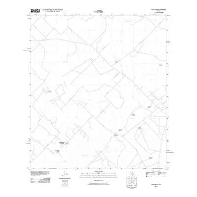 2010 Anna Rose2010 Print · USGSCoastal plains ranch land in South Texas is mapped here during a period of active oil extraction and water management. Genealogists and local historians can trace family-named sites like Freeborn Ranch or the many windmills, including Laguna Windmill and Calabaza Windmill.
 - 2010 Map of Loma Alta, 2010 Print
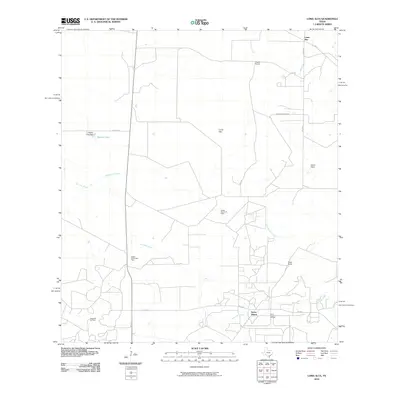 2010 Loma Alta2010 Print · USGSMcMullen County at the start of the decade reveals a landscape defined by ranching and energy production. Researchers can trace land use through the Hagist Ranch Oil Field and Seven Sisters, or locate family-named landmarks like Foster Ranch.
 - 2010 Map of Benavides NW, 2010 Print
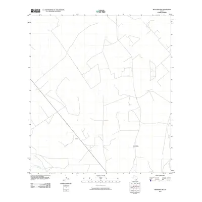 2010 Benavides NW2010 Print · USGSDuval County ranchlands and rural road networks are documented here in the early twenty-first century. Researchers can locate family landmarks such as Guerra Cemetery and Tinney Piedras Pintas Cemetery along Co Rd 314.
 - 2010 Map of Parrilla Creek SW, 2010 Print
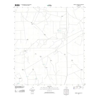 2010 Parrilla Creek SW2010 Print · USGSDuval County ranching country is documented here in the early 2000s, showing a landscape defined by water management and private air travel. Researchers can trace land use through family-named sites like Solo Ranch, the Hamilton Ranch Airport, and Javalina Windmill.
 - 2010 Map of Parrilla Creek NW, 2010 Print
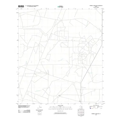 2010 Parrilla Creek NW2010 Print · USGSDuval County ranch lands are documented here in the early twenty-first century, showing the essential water sources of the South Texas brush country. Researchers can locate specific landmarks like Perez Windmill, New Windmill, and the drainage of Parrilla Creek South.
 - 2010 Map of Sarnosa Hill, 2010 Print
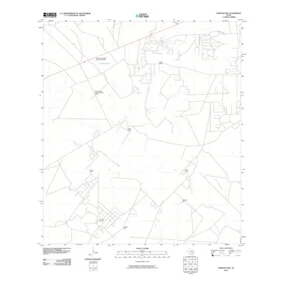 2010 Sarnosa Hill2010 Print · USGSDuval County was a hub of South Texas ranching and oil production in the early 21st century. Researchers can trace the intersection of industry and land use through features like the Duval Ranch, Sarnosa Oil Field, and the private Duval County Ranch Company Airport.
 - 2010 Map of Parrilla Creek SE, 2010 Print
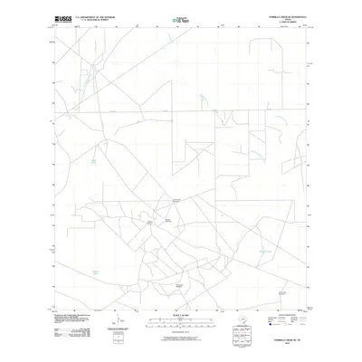 2010 Parrilla Creek SE2010 Print · USGSSouth Texas ranching country in Duval County is captured here at a time when traditional landmarks and water sources still defined the landscape. Researchers can trace local history through Driscoll Camp and named sites like Guadalupe Windmill and Novillo Tank.
 - 2010 Map of Benavides, 2010 Print
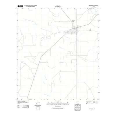 2010 Benavides2010 Print · USGSBenavides and the surrounding Duval County brushland are captured here during the first decade of the new millennium. Researchers can trace the layout of Benavides and Mario Olga Colonia alongside waterways like Las Animas Creek.
 - 2010 Map of Rosita NE, 2010 Print
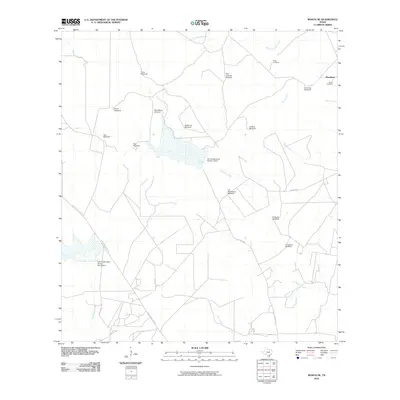 2010 Rosita NE2010 Print · USGSDuval County ranchlands are documented here at the turn of the twenty-first century, showing a landscape shaped by water scarcity and family heritage. Researchers can locate remote burial sites like Perez Cemetery and name-bearing landmarks such as Horcones Windmill or Mendiates.
 - 2010 Map of Bruni, 2010 Print
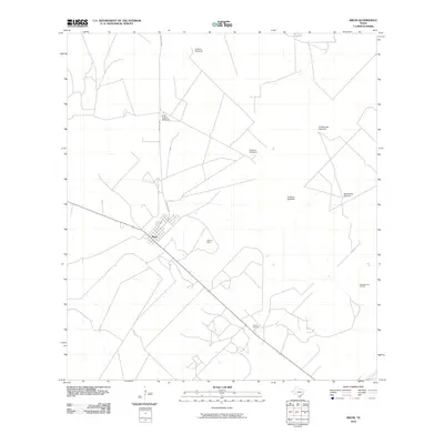 2010 Bruni2010 Print · USGSThe settlement of Bruni sits at the heart of the South Texas oil and ranching country during the early 21st century. Genealogists and historians can trace the industrial footprint of the Cole Oil Field or locate named landmarks like the Encinos Windmill.
 - 2010 Map of San Diego, 2010 Print
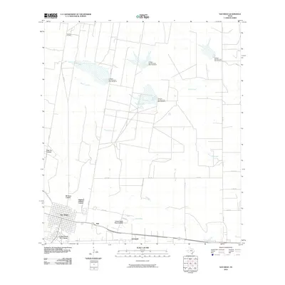 2010 San Diego2010 Print · USGSSouth Texas at the turn of the decade shows a unique landscape of traditional town planning and rural colonias. Researchers can trace the development of residential clusters like Highland Addition Colonia and Springfield alongside the active San Diego Oil Field.
 - 2010 Map of Freer North, 2010 Print
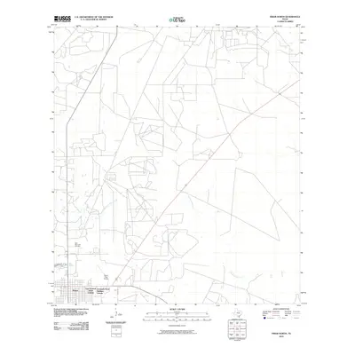 2010 Freer North2010 Print · USGSThe growing community of Freer and its surrounding residential colonias are captured here in the early twenty-first century. Genealogists and local historians can locate the Hahl Memorial Cemetery or trace the paths of Government Wells Creek and Tarancahuas Creek.
 - 2010 Map of Rosita, 2010 Print
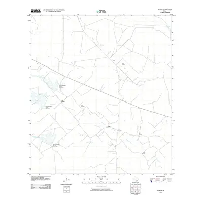 2010 Rosita2010 Print · USGSDuval County ranchlands come into focus at the start of the decade, showing the deep-rooted family ties and water management of the region. Genealogists and local historians can locate numerous family burial grounds like Alaniz Cemetery and Peña Cemetery near the settlements of Reyes and Rosita.
 - 2010 Map of Clegg, 2010 Print
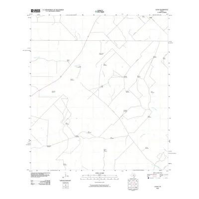 2010 Clegg2010 Print · USGSLive Oak County ranchlands are documented here at the turn of the millennium, showing a landscape defined by cattle operations and water management. Researchers can trace family land via Clegg Ranch and Martin Ranch, or locate sites like Clegg Cemetery and the Mala Suerte Windmill.
 - 2010 Map of Benavides NE, 2010 Print
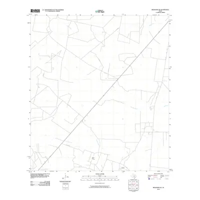 2010 Benavides NE2010 Print · USGSDuval County ranchlands and rural roads appear here as they were in the early twenty-first century. Genealogists and historians can locate family burial sites like Segura-Saenz Cemetery and trace the paths of Rosito Creek and FM 1329.
 - 2010 Map of Shaeffer Ranch, 2010 Print
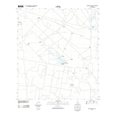 2010 Shaeffer Ranch2010 Print · USGSCoastal Bend ranching and oil production meet in this Jim Wells County landscape during the early 2000s. Genealogists and historians can trace family locations near El Carro, locate the San Jose Cemetery, and find numerous local landmarks like Mendiates Windmill.
Showing maps 1-25 of 168
Top cities of Duval County
Frequently asked questions
- What are the different types of historical maps available for Duval County?
- What is the oldest map of Duval County?
- Where can I purchase historical maps of Duval County for my home or office?
- Where can I download high-res historical maps of Duval County?
- Are there historical topographic maps available for Duval County?
- Is there historical aerial imagery available for Duval County?
- Where are historical maps of Duval County sourced from?