2000s (21st Century) Maps of Medina County, Texas
Explore 170 historic maps of Medina County from the 2000s (21st Century). These maps offer a rare glimpse into what life looked like during the 2000s — showing old roads, neighborhoods, homes, and landmarks that have changed or disappeared over time.
Whether you're researching your family's past, planning a metal detecting trip, or studying how Medina County's landscape evolved across the 2000s, these high-resolution maps are a powerful tool for exploring the history of this region.
- Focus on a specific era: All maps on this page are from the 2000s, giving you a focused view of this time period.
- See what’s changed: Compare century-old streets, trails, and buildings to today's modern landscape using overlays and satellite layers.
- Research with precision: Use these maps for genealogy, historical research, land use analysis, or educational projects.
- View, download, or print: Maps are fully viewable online in high resolution, and can be downloaded or printed for your own records.
Start exploring Medina County's history through authentic maps from the 2000s. This is your window into the past.
Medina County, TX maps
(170)- 2010 Map of Yancey, 2010 Print
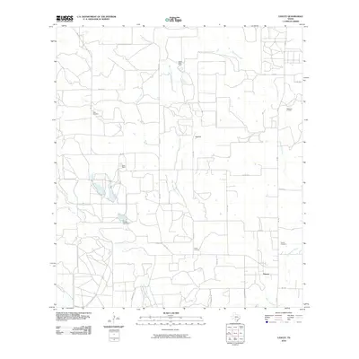 2010 Yancey2010 Print · USGSSouthwest of San Antonio in the 2010s, this portion of Medina County reveals a landscape of cattle ranches and oil production. Researchers can trace family history at Butts Cemetery or Styles Cemetery and locate the historic Taylor-Ina Oil Field near Yancey.
 - 2010 Map of Comanche Waterhole, 2010 Print
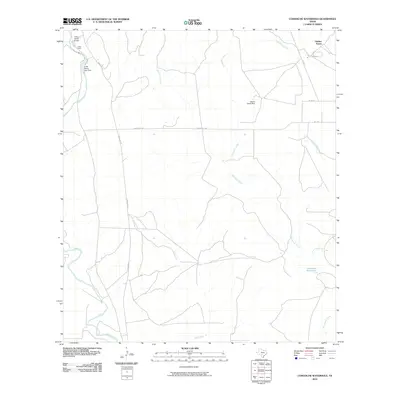 2010 Comanche Waterhole2010 Print · USGSMedina County ranch lands are documented here in the early twenty-first century, showing the transition between Hill Country plateaus and the brushy plains. Trace local land use and hydrology through sites like Comanche Waterhole, the Valdina Farms ranch complex, and the Sabinal River.
 - 2010 Map of Texas Mountain, 2010 Print
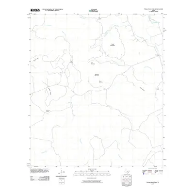 2010 Texas Mountain2010 Print · USGSMedina County at the turn of the 21st century remains a land of prominent summits and spring-fed creeks. Researchers can trace landforms like Saathoff Mountain and Eagle Bluff, or locate old landmarks such as Camp Mary Louise and the Blue Waterhole.
 - 2010 Map of Hondo, 2010 Print
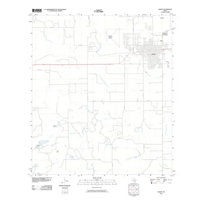 2010 Hondo2010 Print · USGSMedina County comes into focus in the early 21st century, centered on the growing town of Hondo and its sprawling rural outskirts. Genealogists and local historians can trace legacy sites like Cottonwood Cemetery and landmarks such as Fohn Hill.
 - 2010 Map of Frio Town, 2010 Print
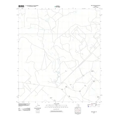 2010 Frio Town2010 Print · USGSFrio County's ranching landscape is captured here in the early twenty-first century, centered on the settlement at Frio Town. Researchers can trace local genealogy and land use through features like the Frio Town Cemetery, Rock House Ranch, and named landmarks such as Beef Trap Windmill.
 - 2010 Map of Sabinal NE, 2010 Print
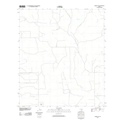 2010 Sabinal NE2010 Print · USGSMedina County at the turn of the decade is defined by its rural ranching character and a complex network of seasonal creeks. Researchers can trace the layout of local properties around Glasscock Field or follow the winding courses of Seco Creek and Parkers Creek.
 - 2010 Map of Flatrock Crossing, 2010 Print
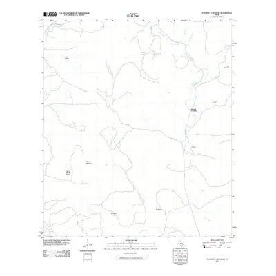 2010 Flatrock Crossing2010 Print · USGSMedina County ranch lands and limestone ridges are captured here in the early twenty-first century. Genealogists and researchers can pinpoint Miller Cemetery, the settlement of Flatrock Crossing, and landmarks like Holy Mountain.
 - 2010 Map of Frio Town NE, 2010 Print
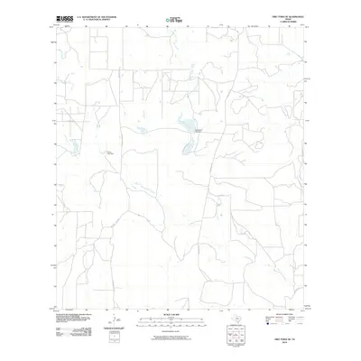 2010 Frio Town NE2010 Print · USGSMedina County ranch lands are documented here in the early twenty-first century, showing the local water infrastructure and drainage networks. Researchers can trace the courses of West Squirrel Creek and locate landmarks like the Richardson Lake Dam and Farley Lake Dam.
 - 2010 Map of Seco Pass, 2010 Print
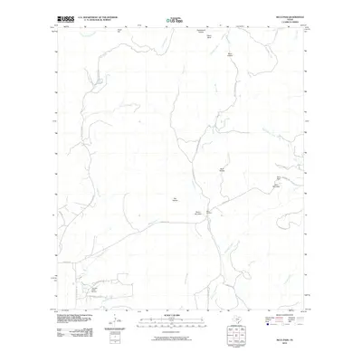 2010 Seco Pass2010 Print · USGSMedina County at the start of the 2010s reveals a quiet landscape of ranch roads and limestone hills. Genealogists and local historians can trace family land near Haby Cemetery or explore the drainage basins of Seco Creek and Pigeon Roost Creek.
 - 2010 Map of Twin Hollow, 2010 Print
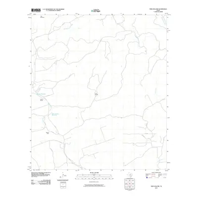 2010 Twin Hollow2010 Print · USGSMedina County in the early twenty-first century remains a landscape of ranch roads and essential water sources. Researchers can trace the drainages of Hondo Creek and Martin Creek or locate landmarks like Mustang Waterhole and Barnes Bluff.
 - 2010 Map of Wilson Ranch, 2010 Print
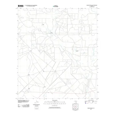 2010 Wilson Ranch2010 Print · USGSMedina County ranchlands are documented here in the early twenty-first century, showing a landscape shaped by water and livestock. Researchers can find family-named landmarks and essential infrastructure like Wilson Ranch, the Slaughter Windmill, and Eschenburg Lake Dam.
 - 2010 Map of Sabinal, 2010 Print
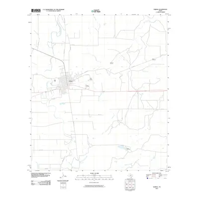 2010 Sabinal2010 Print · USGSSabinal sits at a crossroads of rail and road in South Texas, surrounded by the winding courses of the Sabinal River and Elm Creek. Researchers can locate several historic burial grounds like Saint Patrick Cemetery and trace the paths of OLD HWY 90.
 - 2010 Map of Mustang Valley, 2010 Print
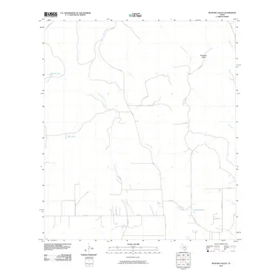 2010 Mustang Valley2010 Print · USGSMedina County ranchlands and creek beds are documented here in the early twenty-first century. Researchers can trace rural property lines and water features such as King Waterhole, Mustang Tank, and the winding path of Hondo Creek along FM 462.
 - 2010 Map of Tarpley Pass, 2010 Print
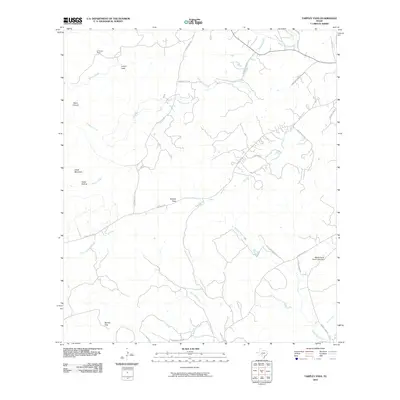 2010 Tarpley Pass2010 Print · USGSMedina County ranch lands are shown in high detail during the early twenty-first century, revealing a landscape carved by creeks and ranching heritage. Researchers can locate family landmarks and natural features like Tarpley Pass, El Paraiso Ranch, and Lovers Leap.
 - 2010 Map of Irishman Hill, 2010 Print
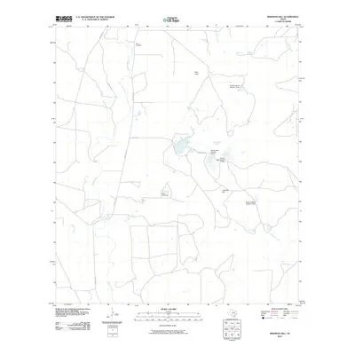 2010 Irishman Hill2010 Print · USGSMedina County is captured in the early 2000s, showcasing a landscape of sprawling ranch lands and essential water management. Genealogists and historians can locate the Brown Cemetery and trace the paths of the Sabinal River and Irishman Hill.
 - 2010 Map of Tarpley, 2010 Print
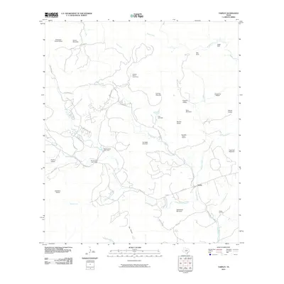 2010 Tarpley2010 Print · USGSThe Hill Country settlement of Tarpley and its surrounding ranch lands are captured here at the start of the 2010s. Researchers can trace family history at the Tarpley Cemetery or locate landmarks like Twin Falls Ranch Airport and Gunsight Mountain.
 - 2010 Map of D'Hanis, 2010 Print
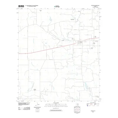 2010 D'Hanis2010 Print · USGSD'Hanis and the surrounding ranchlands are captured here in the early twenty-first century as the community maintains its distinct historic character. Researchers can trace family sites and infrastructure across Seco Creek, from the D'Hanis Historic District to rural landmarks like Rothe Cemetery and the Squirrel Creek Ranch Airport.
 - 2010 Map of Biry, 2010 Print
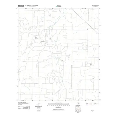 2010 Biry2010 Print · USGSMedina County ranch lands are captured here in the early twenty-first century as the landscape transitioned between traditional agriculture and oil production. Family historians and researchers can locate specific sites like Mussman Cemetery, the Adams Oil Field, and the settlement of Biry.
 - 2010 Map of Moore, 2010 Print
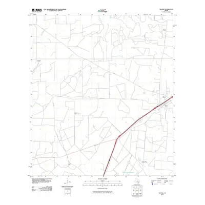 2010 Moore2010 Print · USGSMoore and the surrounding Frio County ranchlands are documented here during the early twenty-first century. Researchers can trace family history at Tomerlin Cemetery or Moore Cemetery and locate rural landmarks like Gracey Ranch.
 - 2010 Map of Murphy School, 2010 Print
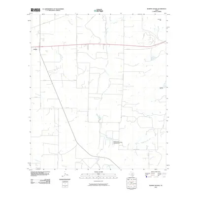 2010 Murphy School2010 Print · USGSThe rural outskirts of Medina County are captured here just after the turn of the century, showing the ranching landscape near Hondo. Genealogists and local historians can trace family land via Elstone Rd and locate water landmarks like Leinweber Lake Dam.
 - 2010 Map of Quihi, 2010 Print
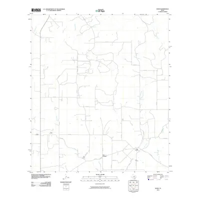 2010 Quihi2010 Print · USGSMedina County rural life is mapped here in the early twenty-first century, showing the enduring footprints of communities like Quihi and New Fountain. Genealogists and historians can locate family burial grounds including Britsch Cemetery and Saint Johns Cemetery among the creeks.
 - 2010 Map of La Coste, 2010 Print
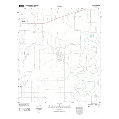 2010 La Coste2010 Print · USGSMedina County comes into focus in this 2010 survey, centered on the Alsatian heritage of Castroville and the rail siding at La Coste. Genealogists can trace family landmarks like St Louis Cem and Castroville Cem or follow the path of the Southern Pacific railroad.
 - 2010 Map of Bigfoot, 2010 Print
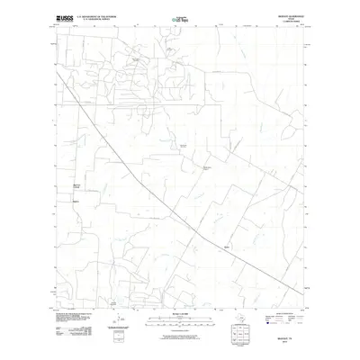 2010 Bigfoot2010 Print · USGSBigfoot and the surrounding Texas brush country are shown here in the early twenty-first century as a landscape of ranching and oil extraction. Researchers can locate family landmarks like Griffin Cemetery, trace the Beer Creek Oil Field, and follow old routes such as Old Devine Rd.
 - 2010 Map of Lytle, 2010 Print
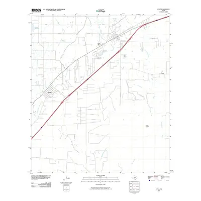 2010 Lytle2010 Print · USGSLytle and Natalia are captured here during a period of steady rural growth in South Texas. Local historians can trace the intersection of water and industry, from the Natalia Canal to the Coal Mine and Verna-Anacacho Oil Field.
 - 2010 Map of San Geronimo, 2010 Print
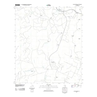 2010 San Geronimo2010 Print · USGSBexar County ranching and water management are front and center in this study of the San Antonio outskirts during the 2010s. Researchers can locate family landmarks like Gallagher Ranch and Kallison Ranch, or trace local history at the Lee Cemetery and Cepeda Cemetery.
Showing maps 1-25 of 170
Top cities of Medina County
Frequently asked questions
- What are the different types of historical maps available for Medina County?
- What is the oldest map of Medina County?
- Where can I purchase historical maps of Medina County for my home or office?
- Where can I download high-res historical maps of Medina County?
- Are there historical topographic maps available for Medina County?
- Is there historical aerial imagery available for Medina County?
- Where are historical maps of Medina County sourced from?