2010s Maps of Morris County, Texas
Explore 32 historic maps of Morris County from the 2010s. These maps offer a rare glimpse into what life looked like during the 2010s — showing old roads, neighborhoods, homes, and landmarks that have changed or disappeared over time.
Whether you're researching your family's past, planning a metal detecting trip, or studying how Morris County's landscape evolved across the 2010s, these high-resolution maps are a powerful tool for exploring the history of this region.
- Focus on a specific era: All maps on this page are from the 2010s, giving you a focused view of this time period.
- See what’s changed: Compare century-old streets, trails, and buildings to today's modern landscape using overlays and satellite layers.
- Research with precision: Use these maps for genealogy, historical research, land use analysis, or educational projects.
- View, download, or print: Maps are fully viewable online in high resolution, and can be downloaded or printed for your own records.
Start exploring Morris County's history through authentic maps from the 2010s. This is your window into the past.
Morris County, TX maps
(32)- 2010 Map of Dalby Springs, 2010 Print
 2010 Dalby Springs2010 Print · USGSBowie County at the start of the 2010s reveals a landscape defined by the winding Sulphur River and quiet rural settlements. Researchers can trace family history at Roberts Cemetery or explore the local water systems like Molly Clark Slough and Broseco Ranch.
 - 2010 Map of Cookville, 2010 Print
 2010 Cookville2010 Print · USGSNortheast Texas at the dawn of the new millennium shows a landscape defined by small rural hubs and carefully managed water. Researchers can locate family heritage sites at Mount Moriah Cemetery, Keith Cemetery, and the historic settlement of Cookville.
 - 2010 Map of Naples, 2010 Print
 2010 Naples2010 Print · USGSNortheastern Morris County is documented here at the start of the 2010s, centered on the communities of Naples and Omaha. Genealogists and local historians can trace several burial grounds like Milner Cemetery and Gethsemane Cemetery or locate the Greater Morris County Airport.
 - 2010 Map of Cason, 2010 Print
 2010 Cason2010 Print · USGSEast Texas ranch and timberlands come to life in this survey from the early 2000s, centered on the waters of Welsh Reservoir. Genealogists and local historians can trace family plots at Justiss Cemetery, Blevens Cemetery, and the settlement of Cason.
 - 2010 Map of Lone Star, 2010 Print
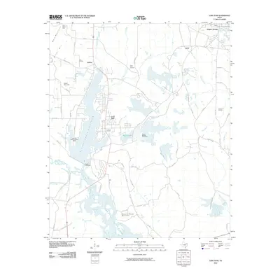 2010 Lone Star2010 Print · USGSTexas industry and rural history meet at the turn of the decade in this detailed survey of the area around Lone Star and Hughes Springs. Genealogists and researchers can trace local landmarks like Iron Bluff Cemetery, the Black Mountain Mine, and the sprawling Ellison Creek Reservoir.
 - 2010 Map of Daingerfield, 2010 Print
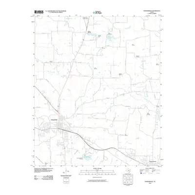 2010 Daingerfield2010 Print · USGSEast Texas at the turn of the decade shows a landscape of small towns and ancestral burial grounds. Genealogists can trace family names at Whitmore Cemetery, Jones Cemetery, or Day Cemetery while exploring the area around Daingerfield and the Black Mountain Mine.
 - 2010 Map of Lafayette, 2010 Print
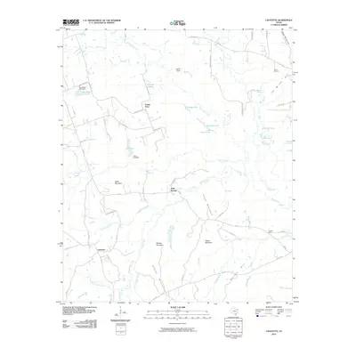 2010 Lafayette2010 Print · USGSIn the early twenty-first century, this East Texas landscape was a quiet network of rural crossroads and forested summits. Genealogists and local historians can trace the roads connecting Lafayette, Center Point, and Holly Springs, or locate family sites near Slaton Cemetery and Adams Mountain.
 - 2010 Map of Coopers Chapel, 2010 Print
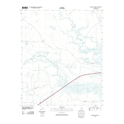 2010 Coopers Chapel2010 Print · USGSTitus County's riverbottoms and rural settlements are documented here during the early 2000s, showing a landscape defined by water and oil. Genealogists and local historians can trace family roots through Coopers Chapel, Evergreen Cemetery, and the Pewitt Ranch Oil Field.
 - 2012 Map of Coopers Chapel, 2012 Print
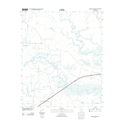 2012 Coopers Chapel2012 Print · USGSTitus County's river bottoms and rural uplands are shown here in the early twenty-first century, just as modern infrastructure meets historic terrain. Trace the drainage of Sulphur River or locate family sites at Coopers Chapel and Mt Moriah Cem.
 - 2012 Map of Naples, 2012 Print
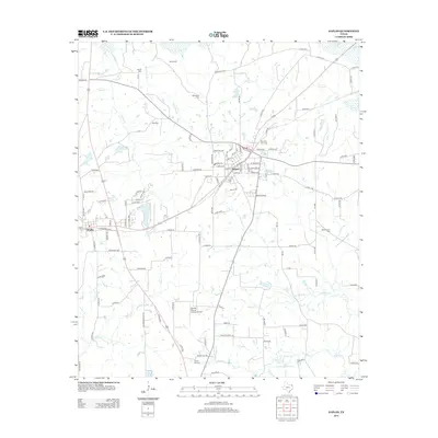 2012 Naples2012 Print · USGSIn Northeast Texas during the early twenty-first century, the twin communities of Naples and Omaha were centers of Morris County life. Researchers can locate numerous family burial sites like Wheatville Cem and Hart Cem alongside landmarks such as the Greater Morris County Airport.
 - 2013 Map of Dalby Springs, 2013 Print
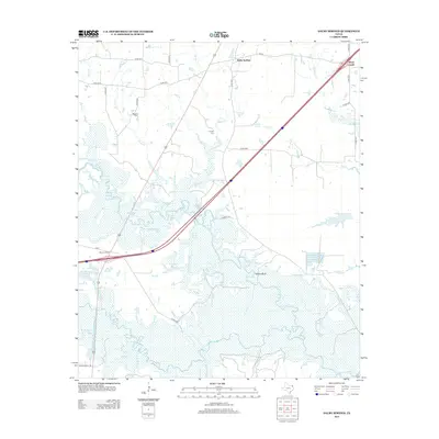 2013 Dalby Springs2013 Print · USGSBowie County at the start of the 2010s reveals a landscape shaped by local waterways and rural settlement patterns. Genealogists and local historians can pinpoint the location of Dalby Springs and trace the course of Dalby Cr through the surrounding countryside.
 - 2013 Map of Cookville, 2013 Print
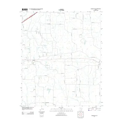 2013 Cookville2013 Print · USGSNortheast Texas rural life is mapped here in the early twenty-first century, centered on the community of Cookville. Genealogists and local historians can locate several important burial sites, including Keith Cem, Mt Moriah Cem, and Barrier Cem, alongside the waters of Swauano Cr.
 - 2013 Map of Daingerfield, 2013 Print
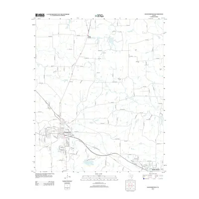 2013 Daingerfield2013 Print · USGSMorris County at the start of the 2010s reveals a deep-rooted rural landscape centered on the community of Daingerfield. Genealogists and historians can trace numerous family burial sites such as Wakefield Cem and Bethlehem Cem near the waters of Black Cypress Cr.
 - 2013 Map of Cason, 2013 Print
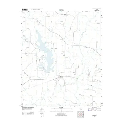 2013 Cason2013 Print · USGSEast Texas ranching and timber lands are captured here during the early twenty-first century, centered on the waters of the Welsh Reservoir. Genealogists can locate several family burial grounds such as Blevens Cem and Springhill Cem near the historic settlements of Cason and Roeder.
 - 2013 Map of Lafayette, 2013 Print
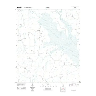 2013 Lafayette2013 Print · USGSUpshur County’s wooded creek bottoms and rural crossroads are captured in the early twenty-first century as the landscape remains defined by its water and small settlements. Researchers can locate the Slaton Cem and trace family-named heights like Pat Miller Hill or Wilks Mtn near the waters of Big Cypress Cr.
 - 2013 Map of Lone Star, 2013 Print
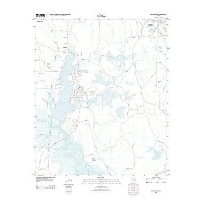 2013 Lone Star2013 Print · USGSNortheast Texas at the start of the 2010s reveals a landscape defined by industrial heritage and expansive reservoirs. Researchers can trace family roots at Clark Cem or explore the geography surrounding Lone Star and Lake O' the Pines.
 - 2016 Map of Coopers Chapel, 2016 Print
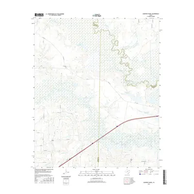 2016 Coopers Chapel2016 Print · USGSTitus County and the surrounding bottomlands are captured here in the mid-2010s, showing a landscape defined by the winding Sulphur River. Researchers can locate family sites and rural landmarks like Coopers Chapel, Evergreen Cem, and Mount Moriah Cem.
 - 2016 Map of Cookville, 2016 Print
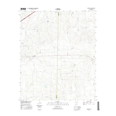 2016 Cookville2016 Print · USGSNortheast Texas rural life is documented here in the mid-2010s as the Titus Co Morris Co line crosses through Cookville and Omaha. Genealogists can locate family sites like Mount Moriah Cem and Barrier Cem among the local creek systems.
 - 2016 Map of Naples, 2016 Print
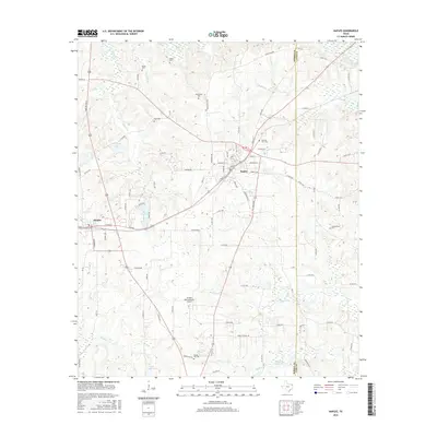 2016 Naples2016 Print · USGSThe neighboring towns of Naples and Omaha are documented here in the mid-2010s, revealing a landscape of rural family holdings and creek-fed valleys. Genealogists and local historians can trace legacy sites like Wheatville Cem, Morning Star Cem, and Glass Club Lake.
 - 2016 Map of Daingerfield, 2016 Print
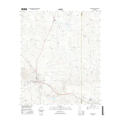 2016 Daingerfield2016 Print · USGSMorris County at the mid-point of the 2010s shows a landscape defined by the community of Daingerfield and its surrounding woodlands. Genealogists can trace family heritage through numerous rural sites including Holly Springs Cem, Wakefield Cem, and Day Cem.
 - 2016 Map of Cason, 2016 Print
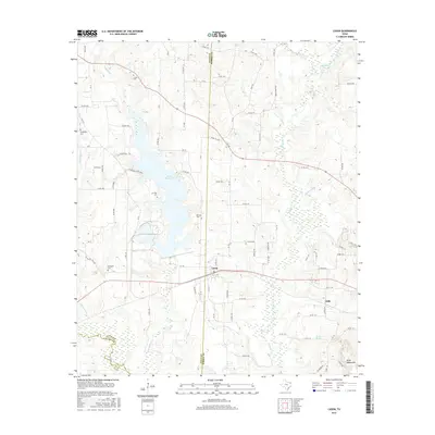 2016 Cason2016 Print · USGSNortheast Texas at the Titus and Morris County line reveals a landscape shaped by water and family legacy during the mid-2010s. Researchers can locate several historic burial sites like Justiss Cem and Springhill Cem or trace the shores of Welsh Reservoir.
 - 2016 Map of Lafayette, 2016 Print
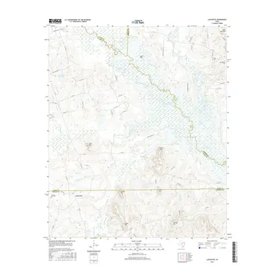 2016 Lafayette2016 Print · USGSUpshur and Camp counties met in this rural East Texas landscape during the mid-2010s, characterized by isolated peaks and winding creek bottoms. Researchers can trace local landmarks like LaFayette, Pleasant Grove Cem, and the prominent Adams Mtn.
 - 2016 Map of Lone Star, 2016 Print
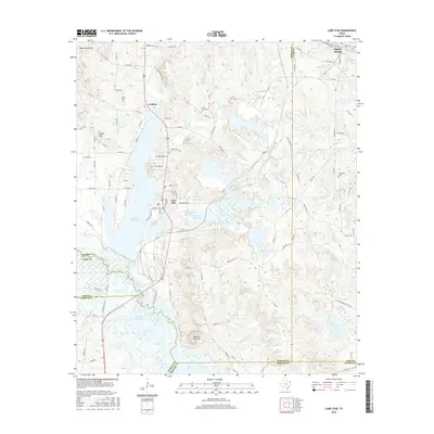 2016 Lone Star2016 Print · USGSNortheast Texas at the height of its industrial and reservoir era is captured here along the Morris and Cass County line. Researchers can trace the heritage of Lone Star and Hughes Springs while locating family landmarks like Iron Bluff Cem and Clark Cem.
 - 2016 Map of Dalby Springs, 2016 Print
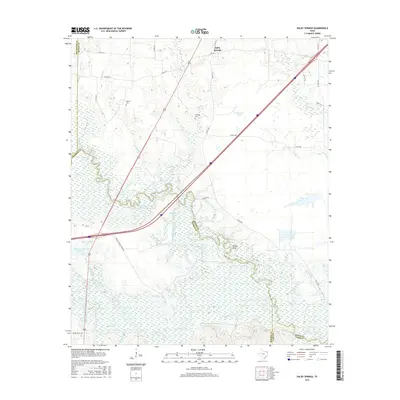 2016 Dalby Springs2016 Print · USGSBowie County at the edge of the Sulphur River bottoms comes into focus during this mid-century period. Researchers can trace rural cemeteries like Lumpkin Cem, the historic site of Dalby Springs, and family-named landmarks such as Molly Clark Slough and Willow Bluff.
 - 2019 Map of Lafayette, 2019 Print
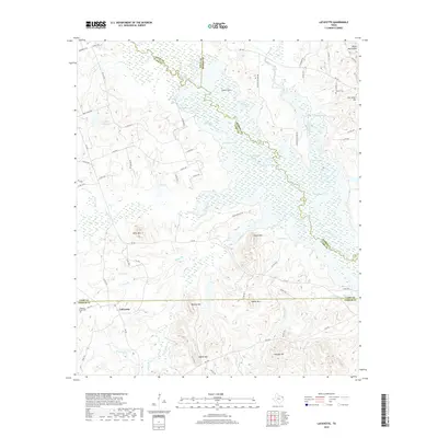 2019 Lafayette2019 Print · USGSLafayette and the surrounding Four-County area are documented here during the late 2010s. Researchers can locate family landmarks like Slaton Cemetery and Lee Springs or trace the wetland margins of Big Cypress Creek.
Showing maps 1-25 of 32
Top cities of Morris County
Frequently asked questions
- What are the different types of historical maps available for Morris County?
- What is the oldest map of Morris County?
- Where can I purchase historical maps of Morris County for my home or office?
- Where can I download high-res historical maps of Morris County?
- Are there historical topographic maps available for Morris County?
- Is there historical aerial imagery available for Morris County?
- Where are historical maps of Morris County sourced from?