2010s Maps of Stonewall County, Texas
Explore 120 historic maps of Stonewall County from the 2010s. These maps offer a rare glimpse into what life looked like during the 2010s — showing old roads, neighborhoods, homes, and landmarks that have changed or disappeared over time.
Whether you're researching your family's past, planning a metal detecting trip, or studying how Stonewall County's landscape evolved across the 2010s, these high-resolution maps are a powerful tool for exploring the history of this region.
- Focus on a specific era: All maps on this page are from the 2010s, giving you a focused view of this time period.
- See what’s changed: Compare century-old streets, trails, and buildings to today's modern landscape using overlays and satellite layers.
- Research with precision: Use these maps for genealogy, historical research, land use analysis, or educational projects.
- View, download, or print: Maps are fully viewable online in high resolution, and can be downloaded or printed for your own records.
Start exploring Stonewall County's history through authentic maps from the 2010s. This is your window into the past.
Stonewall County, TX maps
(120)- 2010 Map of Peacock, 2010 Print
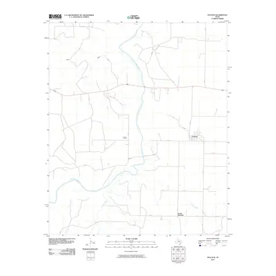 2010 Peacock2010 Print · USGSStonewall County ranch lands and the winding Brazos River are captured here in the early twenty-first century. Researchers can locate family sites near the Oriana Cemetery, the settlement of Peacock, and landmarks like the heights of Double Mountain.
 - 2010 Map of Hamlin NW, 2010 Print
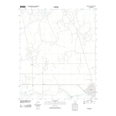 2010 Hamlin NW2010 Print · USGSNorthwest of Hamlin in the early twenty-first century, this Jones County landscape shows a rural Texas transition from town grids to river basins. Researchers can trace local history through markers like Afton Cemetery, the settlement at Hitson, and the waters of California Creek.
 - 2010 Map of Coon Hollow, 2010 Print
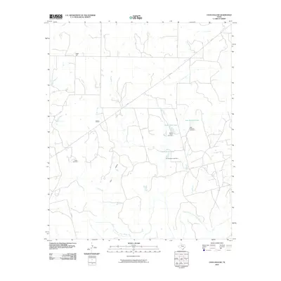 2010 Coon Hollow2010 Print · USGSStonewall County ranch lands are documented here in the early twenty-first century as they drain toward the Brazos River. Genealogists and local researchers can locate Johnson Cemetery and several family-named landmarks like Leon Anderson Lake and Wayne Porter Lake.
 - 2010 Map of Kiowa Peak SW, 2010 Print
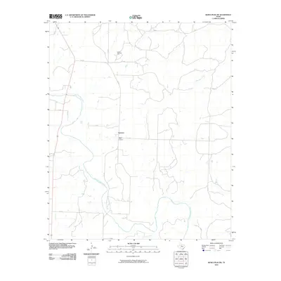 2010 Kiowa Peak SW2010 Print · USGSStonewall County ranch lands and petroleum interests are captured here in the early twenty-first century. Genealogists and local historians can locate Mount Olive Cemetery, trace the winding Salt Fork Brazos River, and study the extent of the Bissett Ranch Oil Field.
 - 2010 Map of Southerland Canyon, 2010 Print
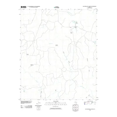 2010 Southerland Canyon2010 Print · USGSKing County ranching culture is well-established in the early twenty-first century, centered around the sprawling cattle operations of the Bar S Ranch. Researchers can trace the water and transport networks essential to West Texas life, from the Bar S Ranch Airport to the Hackberry Windmill.
 - 2010 Map of A B C Creek, 2010 Print
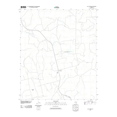 2010 A B C Creek2010 Print · USGSThe settlement of Harmony and the surrounding West Texas ranchlands are captured here in the early twenty-first century. Researchers can trace the industrial landscape of the Rough Draw North Oil Field or locate landmarks like Tater Hills and Devils Backbone.
 - 2010 Map of Swenson, 2010 Print
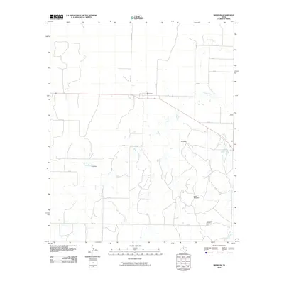 2010 Swenson2010 Print · USGSStonewall County at the end of the first decade of the new millennium reveals a quiet landscape of ranching and rural navigation. Researchers can locate family landmarks like Shadle Cemetery or trace the water courses of Stinking Creek and Parker Lake.
 - 2010 Map of White Canyon, 2010 Print
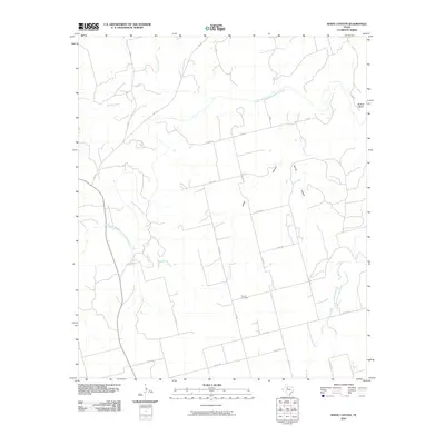 2010 White Canyon2010 Print · USGSStonewall County at the end of the first decade of the 21st century remains a landscape of wide-open ranchland and winding river bends. Local historians can trace family ties at Dowell Cemetery or follow the path of the Double Mountain Fork Brazos River through White Canyon.
 - 2010 Map of Lovers Resort, 2010 Print
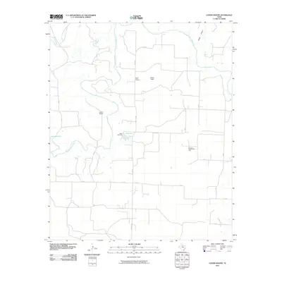 2010 Lovers Resort2010 Print · USGSStonewall County in the early twenty-first century is defined by the winding Salt Fork Brazos River and its rural settlements. Researchers can trace local history at Brazos Valley Cemetery or explore the unique Berta Bend Conglomerate Field and Lovers Resort.
 - 2010 Map of Seven Diamond L Canyon, 2010 Print
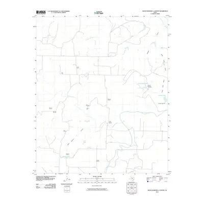 2010 Seven Diamond L Canyon2010 Print · USGSStonewall County ranchlands come into focus at the start of the decade, showing a landscape shaped by the Salt Fork Brazos River. Researchers can locate the Steele Hill Cemetery or trace the network of ranching infrastructure at Ellis Pens and North Camp.
 - 2010 Map of Tige Canyon, 2010 Print
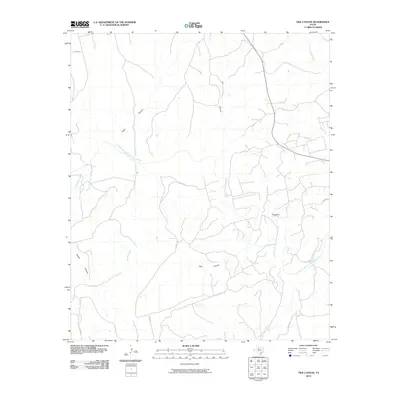 2010 Tige Canyon2010 Print · USGSStonewall County at the start of the twenty-first century reveals a landscape defined by the winding Double Mountain Fork Brazos River and energy extraction. Trace the rugged terrain through Tige Canyon and the Rough Draw Oil Field.
 - 2010 Map of Pursley House, 2010 Print
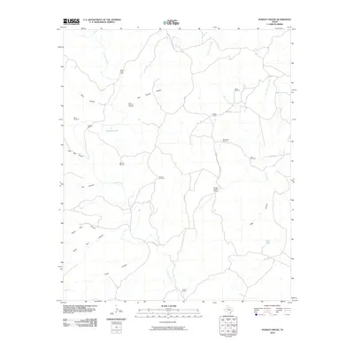 2010 Pursley House2010 Print · USGSKing County ranching culture and canyon topography are documented here in the early twenty-first century. Researchers can trace the layout of family-named landmarks and water infrastructure such as Pursley House, Beggs Ranch, and Keller Field Camp.
 - 2010 Map of Jayton North, 2010 Print
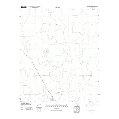 2010 Jayton North2010 Print · USGSThe Kent County plains are mapped here in the early twenty-first century, centered on the settlement of Jayton and its surrounding ranchlands. Genealogists can locate family sites near Red Mud Cemetery, Spur Memorial Cemetery, and the prominent Salt Flat.
 - 2010 Map of Kiowa Peak NW, 2010 Print
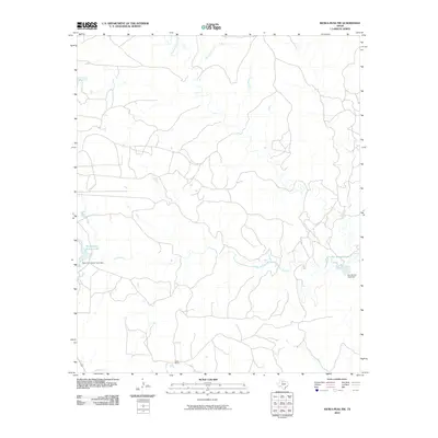 2010 Kiowa Peak NW2010 Print · USGSTexas ranching country in King County is captured here during the early twenty-first century. Researchers can trace the water systems and land improvements of the J M A Ranch, including Parramore Ranch Lake and Pen Branch Tank.
 - 2010 Map of Aspermont, 2010 Print
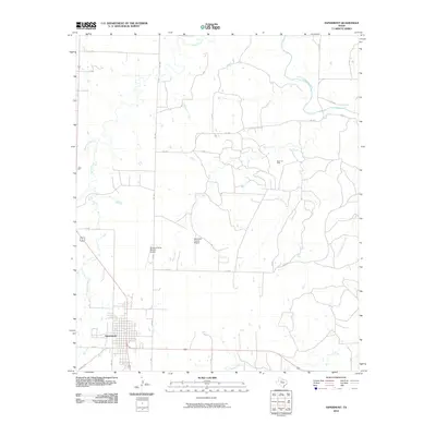 2010 Aspermont2010 Print · USGSAspermont and its surrounding petroleum and aviation hubs are captured here during the first decade of the millennium. Local researchers can trace the roads to the Boyd Oil Field or follow the paths of Stinking Creek and the Salt Fork Brazos River.
 - 2010 Map of Kiowa Peak, 2010 Print
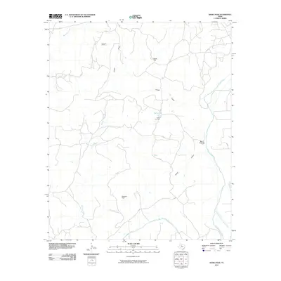 2010 Kiowa Peak2010 Print · USGSThis Stonewall County landscape in the early 2000s reveals a terrain defined by the forks of the Brazos River and high Texas peaks. Researchers can trace land use patterns near Two F Crossing or investigate the industrial footprint of the Kiowa Park Oil Field.
 - 2010 Map of Kiowa Peak NE, 2010 Print
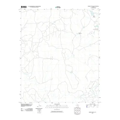 2010 Kiowa Peak NE2010 Print · USGSRanching and oil extraction define this King County landscape during the early 21st century. Researchers can trace the drainage of North Croton Creek and locate family-named features like McElroy Lake and the Katz Oil Field.
 - 2010 Map of Hamlin NE, 2010 Print
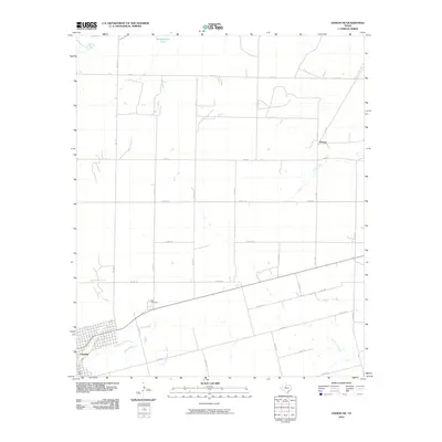 2010 Hamlin NE2010 Print · USGSHamlin and the surrounding West Texas plains are shown in detail during the early 2000s, revealing a landscape of large-scale agriculture and rural settlements. Genealogists and local historians can locate East Cemetery and trace the paths of California Creek and Paint Creek.
 - 2010 Map of Double Mountains, 2010 Print
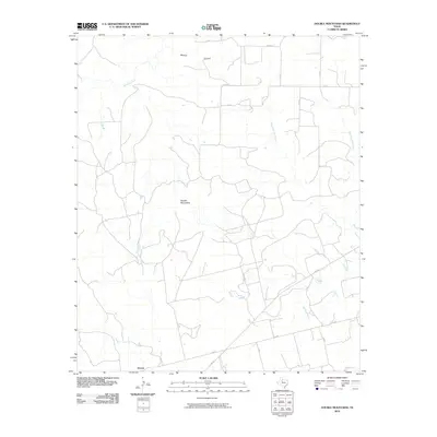 2010 Double Mountains2010 Print · USGSThe Texas ranching country of Stonewall County is seen here in the early twenty-first century, centered on the landmark Double Mountains. Researchers can trace the rural landscape around Dorras and follow the paths of Stinking Creek and Wildcat Canyon.
 - 2010 Map of Aspermont Lake, 2010 Print
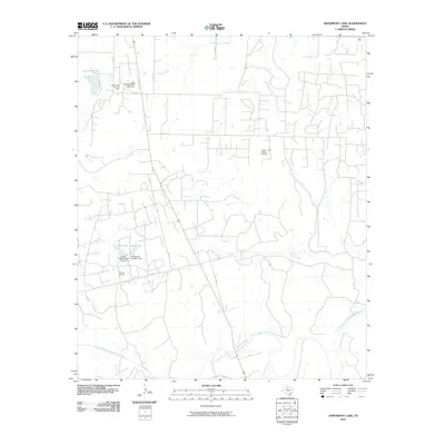 2010 Aspermont Lake2010 Print · USGSStonewall County at the end of the first decade of the 2000s shows a landscape shaped by petroleum and water management. Local researchers can trace ranching and energy history through landmarks like the Guest Flowers Oil Field and the Fred Martin East Tank Dam.
 - 2010 Map of Frog Mountain, 2010 Print
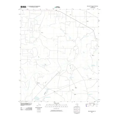 2010 Frog Mountain2010 Print · USGSStonewall County ranching lands are captured here at the start of the 2010s, centered on the Double Mountain Fork Brazos River. Local historians can trace family ties at Old Glory Cemetery and Rayner Cemetery or locate landmarks like Frog Mountain.
 - 2010 Map of Jayton South, 2010 Print
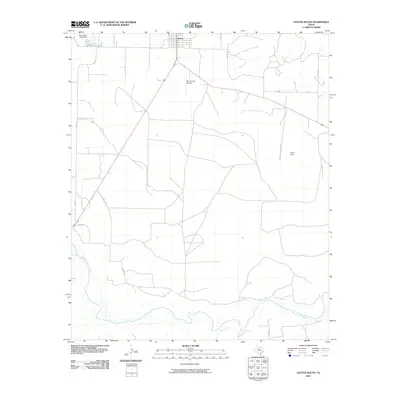 2010 Jayton South2010 Print · USGSJayton and the surrounding Kent County ranchlands are documented here during the first decade of the 2000s. Researchers can trace rural property access and water resources along the Salt Fork Brazos River, Jayton City Lake, and Kent County Airport.
 - 2010 Map of Bob Creek, 2010 Print
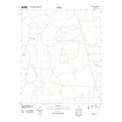 2010 Bob Creek2010 Print · USGSKing County ranching country is documented here in the early twenty-first century, showing a landscape shaped by water management and vast holdings. Genealogists and historians can locate Gilkerson Cemetery and the Martin Ranch near the Salt Fork Brazos River.
 - 2010 Map of Poke Mountain, 2010 Print
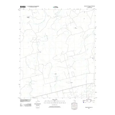 2010 Poke Mountain2010 Print · USGSStonewall County ranch lands and river crossings are captured here in the early twenty-first century. Researchers can locate Mount Zion Cemetery and trace the winding Double Mountain Fork Brazos River past Red Bluff Crossing.
 - 2010 Map of Old Glory, 2010 Print
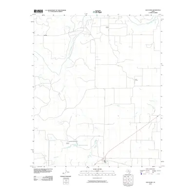 2010 Old Glory2010 Print · USGSStonewall County at the end of the first decade of the 2000s shows a landscape where oil production and ranching meet. Researchers can trace family history through the Hooker Cemetery or locate old industrial sites like the Old Glory Oil Field and Pumphrey Oil Field.
Showing maps 1-25 of 120
Top cities of Stonewall County
Frequently asked questions
- What are the different types of historical maps available for Stonewall County?
- What is the oldest map of Stonewall County?
- Where can I purchase historical maps of Stonewall County for my home or office?
- Where can I download high-res historical maps of Stonewall County?
- Are there historical topographic maps available for Stonewall County?
- Is there historical aerial imagery available for Stonewall County?
- Where are historical maps of Stonewall County sourced from?