2000s (21st Century) Maps of Grant County, Washington
Explore 390 historic maps of Grant County from the 2000s (21st Century). These maps offer a rare glimpse into what life looked like during the 2000s — showing old roads, neighborhoods, homes, and landmarks that have changed or disappeared over time.
Whether you're researching your family's past, planning a metal detecting trip, or studying how Grant County's landscape evolved across the 2000s, these high-resolution maps are a powerful tool for exploring the history of this region.
- Focus on a specific era: All maps on this page are from the 2000s, giving you a focused view of this time period.
- See what’s changed: Compare century-old streets, trails, and buildings to today's modern landscape using overlays and satellite layers.
- Research with precision: Use these maps for genealogy, historical research, land use analysis, or educational projects.
- View, download, or print: Maps are fully viewable online in high resolution, and can be downloaded or printed for your own records.
Start exploring Grant County's history through authentic maps from the 2000s. This is your window into the past.
Grant County, WA maps
(390)- 2011 Map of Jack Woods Butte, 2011 Print
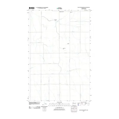 2011 Jack Woods Butte2011 Print · USGSLincoln County’s high-plateau farm country is mapped here in the early twenty-first century, showing a landscape defined by dryland wheat farming and deep basalt draws. Genealogists can trace family holdings along Lafollette Rd N or locate the Lafollette Cemetery and Grand Coulee Grange.
 - 2011 Map of Weber, 2011 Print
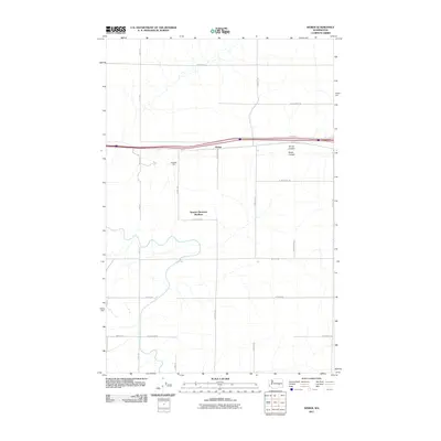 2011 Weber2011 Print · USGSAdams County agriculture and communal life are documented here during the early twenty-first century. Researchers can trace the layout of the Warden Hutterian Brethren and locate local landmarks like Schaeffer Spur and Bauer Coulee.
 - 2011 Map of Almira SW, 2011 Print
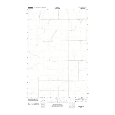 2011 Almira SW2011 Print · USGSGrant County is shown as a sprawling agricultural grid during the early twenty-first century, where water and road networks dictate the landscape. Genealogists and historians can trace family-named routes such as Peha Rd E and Christensen Rd that intersect near Wilson Creek.
 - 2011 Map of Grand Coulee Dam, 2011 Print
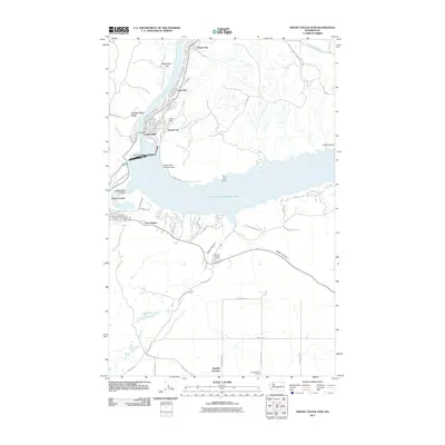 2011 Grand Coulee Dam2011 Print · USGSThe engineering feat of the dam and its surrounding reservoir communities are shown here in the early twenty-first century. Researchers can trace local development from Mason City to Bagdad Junction, alongside landmarks like the Coulee Dam Seaplane Base.
 - 2011 Map of Ruff, 2011 Print
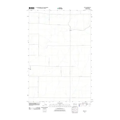 2011 Ruff2011 Print · USGSThe settlement of Ruff and the community at Moody are shown in this 2011 survey of the Grant County landscape. Researchers can trace the vast grid of named rural routes, including Tokio Rd W, W Rosenoff Rd, and Schoessler Rd W.
 - 2011 Map of Marlin SW, 2011 Print
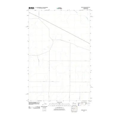 2011 Marlin SW2011 Print · USGSGrant County in the early twenty-first century reveals a landscape defined by its agricultural grid and the historic path of the creek. Genealogists and local historians can trace family land ties along Old Highway 10 Rd E and Crab Creek.
 - 2011 Map of Marlin, 2011 Print
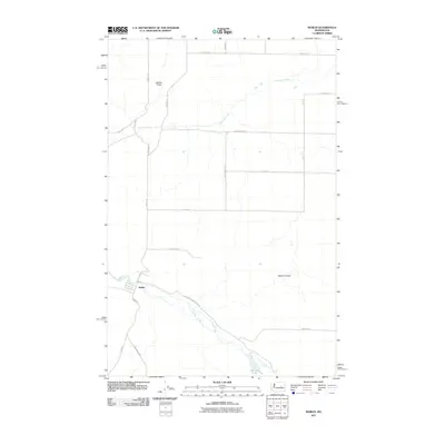 2011 Marlin2011 Print · USGSMarlin and the surrounding Grant County ranchlands are captured here in the early twenty-first century. Genealogists and local historians can trace family-named roads and landmarks like Gibson Draw, Peterson Lake, and the town streets of Marlin.
 - 2011 Map of Almira, 2011 Print
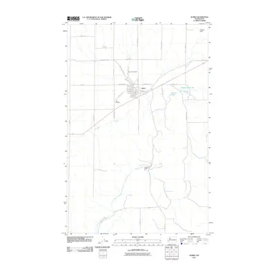 2011 Almira2011 Print · USGSAlmira and the surrounding Lincoln County highlands are captured here at the start of the 2010s. Genealogists and local historians can locate Almira Cemetery, the J Z Almira Airfield, and the landmarks of Wilson Creek Falls.
 - 2011 Map of Hatton NW, 2011 Print
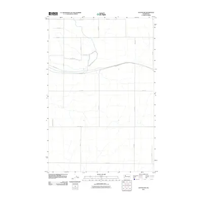 2011 Hatton NW2011 Print · USGSGrant County is captured in the early twenty-first century, showing a vast network of rural roads and the long-distance John Wayne Trl. Researchers can trace old property lines and rural access points along W Providence Rd and N Howard Rd.
 - 2011 Map of Ginkgo, 2011 Print
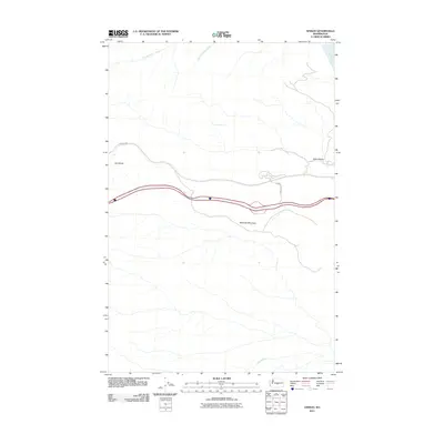 2011 Ginkgo2011 Print · USGSGrant County’s high desert plateaus meet the river in the early twenty-first century. Researchers can trace the path of Vantage Hwy and locate landmarks like Ryegrass Mountain, Hult Butte, and Lone Star Spring.
 - 2011 Map of Vernita Bridge, 2011 Print
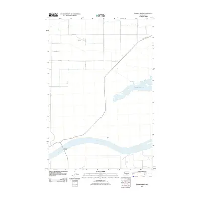 2011 Vernita Bridge2011 Print · USGSBenton County at the start of the second decade of the millennium shows a landscape shaped by the mighty river and modern irrigation. Trace the path of the Columbia River past Haven or locate the Mattawa Air Strip and the vital crossing at Vernita Bridge.
 - 2011 Map of Taunton, 2011 Print
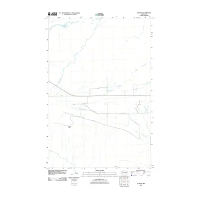 2011 Taunton2011 Print · USGSGrant County’s high desert landscape and agricultural grid are captured here during the early 21st century. Researchers can locate the settlement of Taunton and follow the winding path of Lower Crab Creek past landmarks like Saddle Gap.
 - 2011 Map of Wahatis Peak, 2011 Print
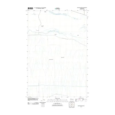 2011 Wahatis Peak2011 Print · USGSGrant County ranching country is captured here during the early 2000s, showcasing the remote terrain south of the Crab Creek drainage. Researchers can locate family landmarks like Chadbourne Ranch and Rasor Ranch or trace the geography of Wahatis Peak and the Red Rock Coulee.
 - 2011 Map of Coyote Rapids, 2011 Print
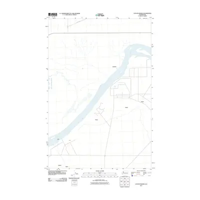 2011 Coyote Rapids2011 Print · USGSThe Benton County riverfront comes into focus during the early twenty-first century as the river passes the turbulent Coyote Rapids. Local researchers can trace the placement of smaller settlements and named points like Allard, Wahluke, and Bettie.
 - 2011 Map of Smyrna, 2011 Print
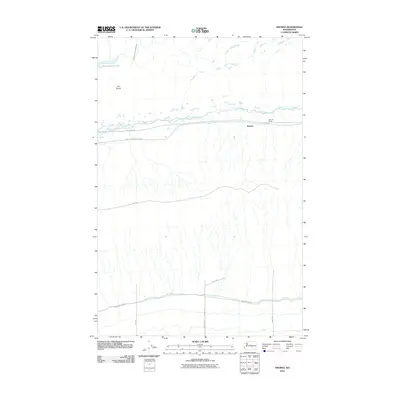 2011 Smyrna2011 Print · USGSSmyrna and the surrounding Grant County coulees are documented here just after the first decade of the millennium. Trace the path of the John Wayne Trl or locate family history at Schrum Ranch and the small settlement of Smyrna.
 - 2011 Map of Priest Rapids NE, 2011 Print
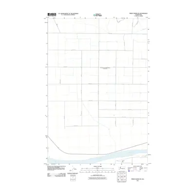 2011 Priest Rapids NE2011 Print · USGSThis Grant County agricultural landscape near the Columbia River reflects decades of irrigation and orchard growth. Local researchers can trace the regional road grid and water infrastructure like the Mattawa Drain and Christensen Brothers Wahluke Strip Airport.
 - 2011 Map of Soda Lake, 2011 Print
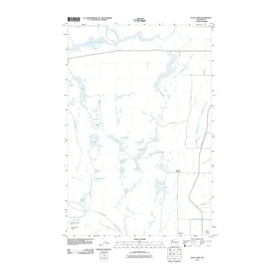 2011 Soda Lake2011 Print · USGSGrant County is defined by its massive mid-century irrigation infrastructure and scabland water chains in this recent survey. Researchers can trace the reach of the Columbia Basin Project through Novara, Potholes Reservoir, and the numerous Pit Lakes.
 - 2011 Map of Beverly SE, 2011 Print
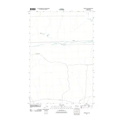 2011 Beverly SE2011 Print · USGSGrant County is shown in the early twenty-first century as a land of managed water and high desert trails. Local historians can trace the paths of the John Wayne Trl and Lower Crab Creek Rd SW near the settlement of Jericho.
 - 2011 Map of Vantage, 2011 Print
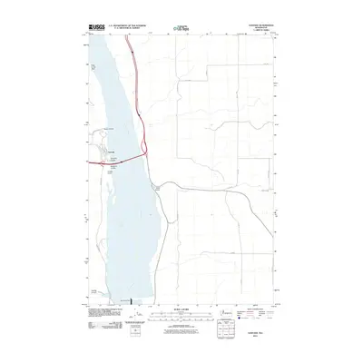 2011 Vantage2011 Print · USGSThe riverfront settlement of Vantage and its critical Columbia River crossing are shown here in the early twenty-first century. Researchers can trace local infrastructure from Wanapum Dam to the northern reaches of Hole in the Wall and Schnebly Coulee.
 - 2011 Map of Priest Rapids, 2011 Print
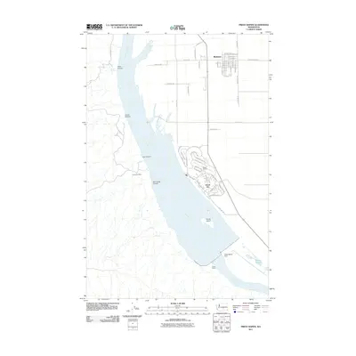 2011 Priest Rapids2011 Print · USGSThe Grant County shoreline of the Columbia River is seen here at a time of modern growth and industrial power. Researchers can trace the development of Mattawa and Desert Aire, locate the Pozzuolana Mine, and see the footprint of the Priest Rapids Dam.
 - 2011 Map of Beverly NE, 2011 Print
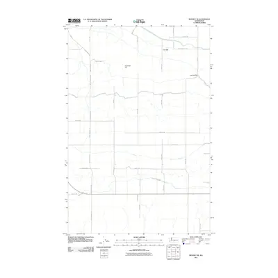 2011 Beverly NE2011 Print · USGSGrant County is captured in this early 21st-century survey, revealing the structured agricultural grid and dramatic high-desert terrain. Researchers can trace the passage through Low Gap and the rising elevations of the Frenchman Hills along Beverly Burke Rd S.
 - 2011 Map of O'Sullivan Dam, 2011 Print
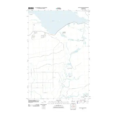 2011 O'Sullivan Dam2011 Print · USGSGrant County’s managed water system is on full display in the early twenty-first century, centered on the massive O'Sullivan Dam. Map collectors can trace the complex drainage through The Potholes down to Upper Goose Lake and Hutchinson Lake.
 - 2011 Map of Locke Island, 2011 Print
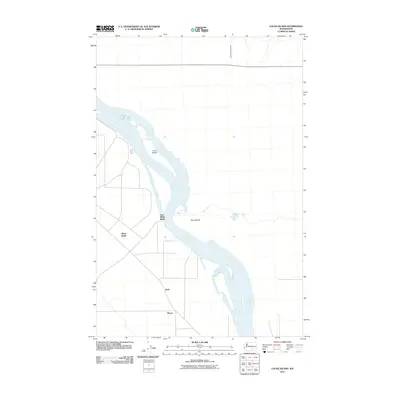 2011 Locke Island2011 Print · USGSBenton County at the start of the 2010s reveals a quiet riverine landscape shaped by the Columbia River. Researchers can trace local road networks connecting the settlements of Ruth and Pierce near the distinctive Locke Island.
 - 2011 Map of Royal Camp, 2011 Print
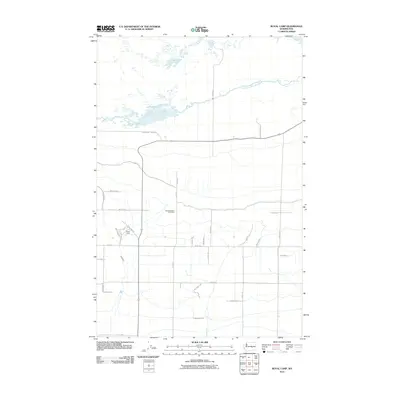 2011 Royal Camp2011 Print · USGSThis Grant County landscape showcases the agricultural heart of central Washington during the early twenty-first century. Researchers can trace local landmarks like Royal Camp and the Pleasant Valley Cemetery alongside irrigation features like the Frenchman Hills Wasteway.
 - 2011 Map of Hanford NE, 2011 Print
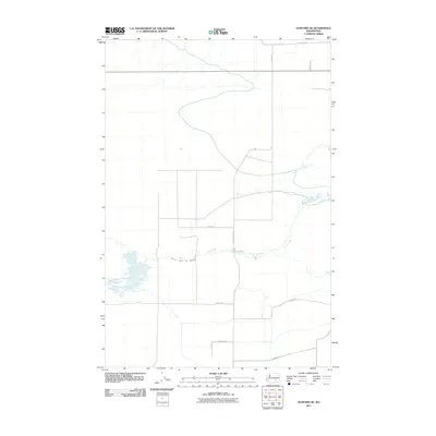 2011 Hanford NE2011 Print · USGSGrant County is shown at a time of continued agricultural development and water management in the early twenty-first century. Researchers can trace land divisions and irrigation infrastructure along the Wahluke Branch Ten Wasteway, Michel Rd, and Mountain Vista Rd.
Showing maps 1-25 of 390
Top cities of Grant County
- Moses Lake historical maps
- Ephrata historical maps
- Quincy historical maps
- Mattawa historical maps
- Warden historical maps
- Royal City historical maps
See more
Frequently asked questions
- What are the different types of historical maps available for Grant County?
- What is the oldest map of Grant County?
- Where can I purchase historical maps of Grant County for my home or office?
- Where can I download high-res historical maps of Grant County?
- Are there historical topographic maps available for Grant County?
- Is there historical aerial imagery available for Grant County?
- Where are historical maps of Grant County sourced from?