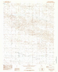
1985 Map of Arch NW
USGS Topo · Published 1985About this map
Portales Valley defines the southern portion of this mid-1980s landscape in Roosevelt County. The area is characterized by an extensive network of groundwater extraction, with numerous wells scattered across the undulating terrain. This spatial pattern suggests a heavy reliance on subterranean water sources for the region's agricultural or industrial operations during this period. The map's contour lines and well placements provide a clear indication of the local topography and the human efforts to utilize the resources within the valley. As a provisional map, it offers a distinct look at the land's utility and the survey data collected at that specific point in time before further development or geological shifts occurred.
Find a feature on this map
2 named features on this map. Tap any name to fly to it.
Don’t see what you’re looking for? This feature index may not catch every label — zoom into the map to look around manually.
Map Details
Editions of this 1985 Arch NW Map
This is the sole edition of this map. No revisions or reprints were ever made.
Other maps of this area

1954 · Clovis
USGS Topo · 1:250,000

1957 · Portair
USGS Topo · 1:62,500

1957 · Clovis
USGS Topo · 1:62,500

1957 · Arch
USGS Topo · 1:62,500

1957 · Portales
USGS Topo · 1:62,500

1958 · Clovis
USGS Topo · 1:250,000

1985 · Midway
USGS Topo · 1:24,000
1985 · Portales SE
USGS Topo · 1:24,000

1985 · Pleasure Lake
USGS Topo · 1:24,000
1985 · Arch
USGS Topo · 1:24,000