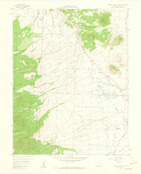
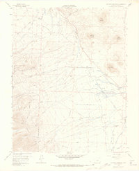
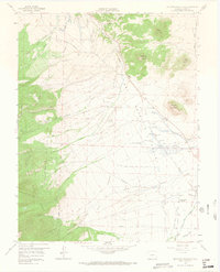
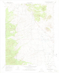
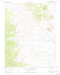
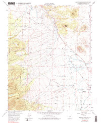
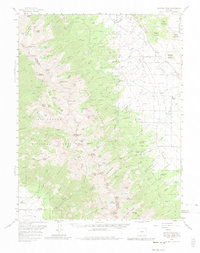
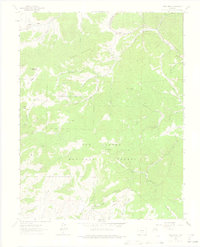
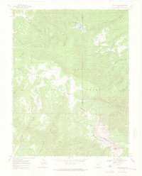
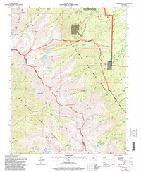
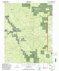
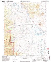
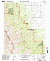
1958 Map of Beckwith Mountain
USGS Topo · Published 1960This historical map portrays the area of Beckwith Mountain in 1958, primarily covering Custer County. Featuring a scale of 1:24000, this map provides a highly detailed snapshot of the terrain, roads, buildings, counties, and historical landmarks in the Beckwith Mountain region at the time. Published in 1960, it is one of 10 known editions of this map due to revisions or reprints.
Map Details
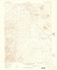
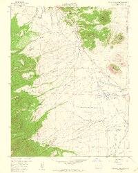
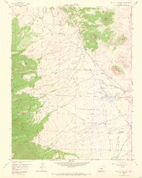
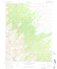
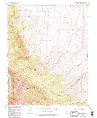
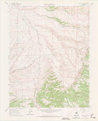
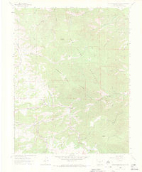
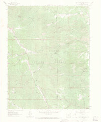
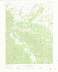
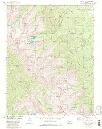
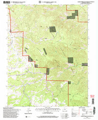
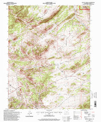
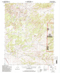
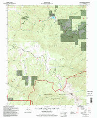
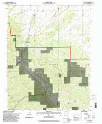
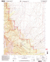
Editions of this 1958 Beckwith Mountain Map
10 editions found
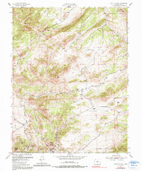
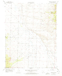
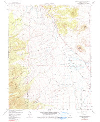
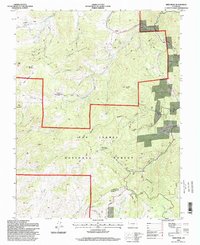
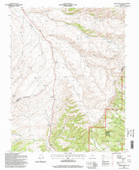
Historical Maps of Custer County Through Time
26 maps found
1954 Mount Tyndall
Custer County, CO

1954 Rosita
Custer County, CO
1957 Aldrich Gulch
Custer County, CO
1958 Beckwith Mountain
Custer County, CO
1959 Electric Peak
Custer County, CO
1959 Horn Peak
Custer County, CO
1960 Beck Mountain
Custer County, CO
1960 Devils Gulch
Custer County, CO
1963 Deer Peak
Custer County, CO
1963 Hardscrabble Mountain
Custer County, CO
1963 Saint Charles Peak
Custer County, CO
1963 Wetmore
Custer County, CO
1969 San Isabel
Custer County, CO
1980 Electric Peak
Custer County, CO
1994 Deer Peak
Custer County, CO
1994 Devils Gulch
Custer County, CO
1994 Electric Peak
Custer County, CO
1994 Hardscrabble Mountain
Custer County, CO
1994 Mount Tyndall
Custer County, CO
1994 Rosita
Custer County, CO
1994 Saint Charles Peak
Custer County, CO
1994 San Isabel
Custer County, CO
1994 Wetmore
Custer County, CO
2001 Beck Mountain
Custer County, CO
2001 Beckwith Mountain
Custer County, CO
2001 Horn Peak
Custer County, CO