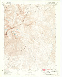
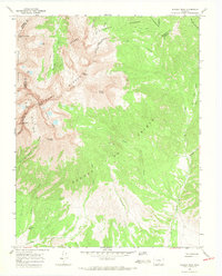
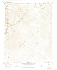
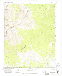
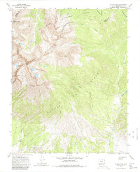
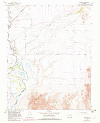
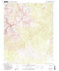
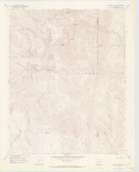
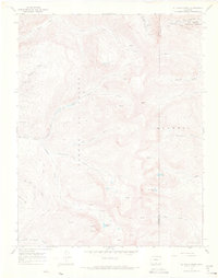
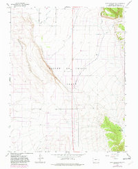
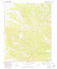
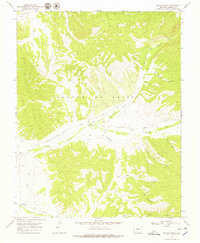
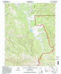
1967 Map of Blanca Peak
USGS Topo · Published 1971This historical map portrays the area of Blanca Peak in 1967, primarily covering Costilla County as well as portions of Alamosa County and Huerfano County. Featuring a scale of 1:24000, this map provides a highly detailed snapshot of the terrain, roads, buildings, counties, and historical landmarks in the Blanca Peak region at the time. Published in 1971, it is one of 7 known editions of this map due to revisions or reprints.
Find a feature on this map
43 named features on this map. Tap any name to fly to it.
Don’t see what you’re looking for? This feature index may not catch every label — zoom into the map to look around manually.
Map Details
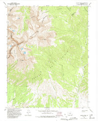
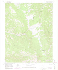
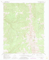
Editions of this 1967 Blanca Peak Map
7 editions found
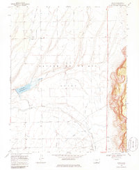
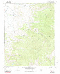
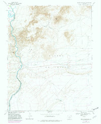
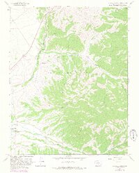
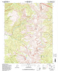
Historical Maps of Alamosa County Through Time
21 maps found
1963 Mc Carty Park
Costilla County, CO
1965 Blanca SE
Costilla County, CO
1965 Lasauses
Costilla County, CO
1967 Blanca Peak
Costilla County, CO
1967 Culebra Peak
Costilla County, CO
1967 El Valle Creek
Costilla County, CO
1967 Fort Garland SW
Costilla County, CO
1967 Garcia
Costilla County, CO
1967 La Valley
Costilla County, CO
1967 Mesito Reservoir
Costilla County, CO
1967 Ojito Peak
Costilla County, CO
1967 Russell
Costilla County, CO
1967 Sanchez Reservoir
Costilla County, CO
1967 Sky Valley Ranch
Costilla County, CO
1967 Taylor Ranch
Costilla County, CO
1967 Trinchera Peak
Costilla County, CO
1967 Trinchera Ranch
Costilla County, CO
1994 El Valle Creek
Costilla County, CO
1994 Mc Carty Park
Costilla County, CO
1994 Trinchera Peak
Costilla County, CO
2001 Blanca Peak
Costilla County, CO