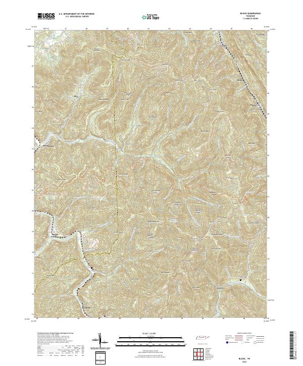
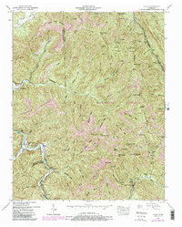
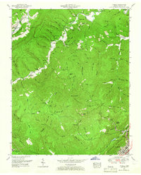
2022 Map of Block
USGS Topo · Published 2022About this map
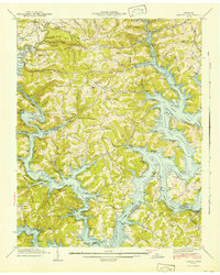
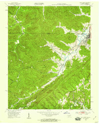
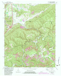
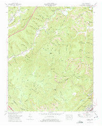
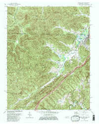
Smoky Junction and the dispersed settlements of Caryville, Turley, and Block anchor this study of the mountain drainages along the border of Scott and Campbell counties. The landscape is defined by its deep hollows and narrow ridges, where waters like Roach Creek and Montgomery Fork carve through the high ground of Roach Creek Mtn and Brushy Mtn. The transport network follows the geography, with Straight Fork Rd and Norma Rd tracing the valley floors to connect remote communities. For genealogists, the presence of Lowe Cem, Nicks Creek Cem, and Round Rock Cem provides essential location data for family history research. The naming of high-elevation points like Huckaby Knob and Goldenwing Mtn reflects a local nomenclature tied closely to the topography, illustrating how early settlement and resource extraction were dictated by the complex ridges of the Cumberland Plateau.
Find a feature on this map
106 named features on this map. Tap any name to fly to it.
Don’t see what you’re looking for? This feature index may not catch every label — zoom into the map to look around manually.
Map Details
Editions of this 2022 Block Map
This is the sole edition of this map. No revisions or reprints were ever made.
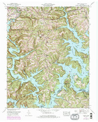
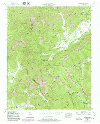
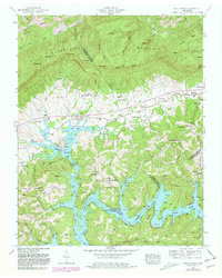
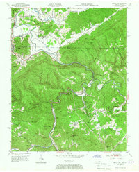
Historical Maps of Montgomery Through Time
27 maps found
1935 Well Spring
Campbell County, TN
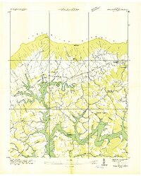
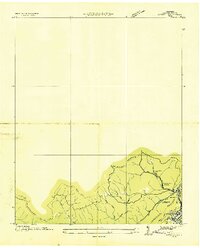
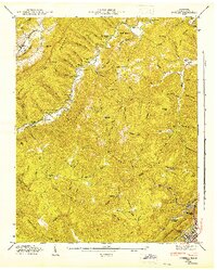
1936 Block
Campbell County, TN
1936 Demory
Campbell County, TN
1936 Ivydell
Campbell County, TN
1936 Pioneer
Campbell County, TN
1941 Demory
Campbell County, TN

1942 Well Spring
Campbell County, TN
1946 Block
Campbell County, TN
1946 Ivydell
Campbell County, TN
1946 Pioneer
Campbell County, TN
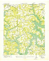
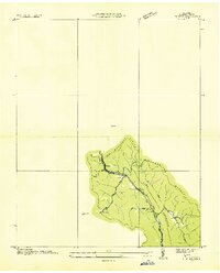
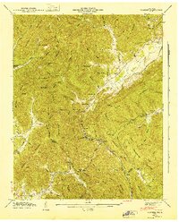
1952 Block
Campbell County, TN
1952 Demory
Campbell County, TN
1952 Ivydell
Campbell County, TN
1952 Pioneer
Campbell County, TN
1952 Well Spring
Campbell County, TN
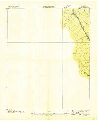
1953 Jellico East
Campbell County, TN
1953 Jellico West
Campbell County, TN
1970 Jellico East
Campbell County, TN
1973 Ivydell
Campbell County, TN
1979 Jellico West
Campbell County, TN
2022 Block
Campbell County, TN
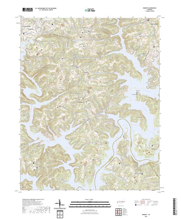
2022 Demory
Campbell County, TN
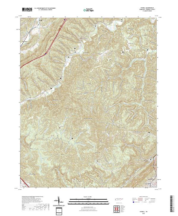
2022 Ivydell
Campbell County, TN
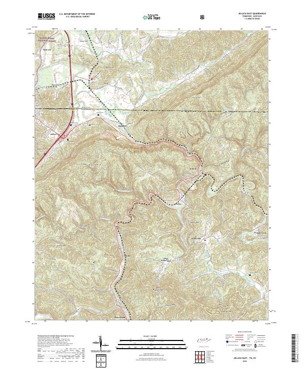
2022 Jellico East
Campbell County, TN
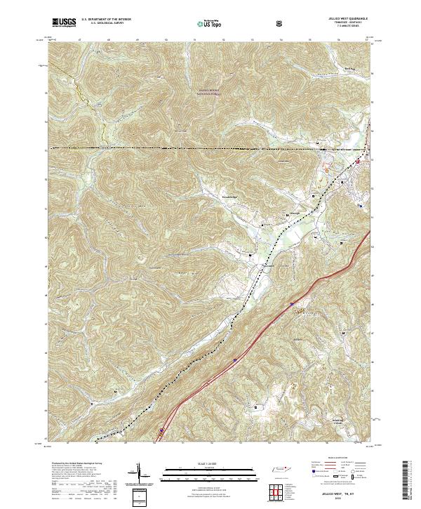
2022 Jellico West
Campbell County, TN
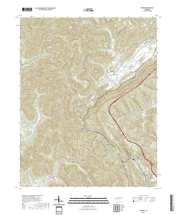
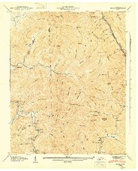
2022 Pioneer
Campbell County, TN
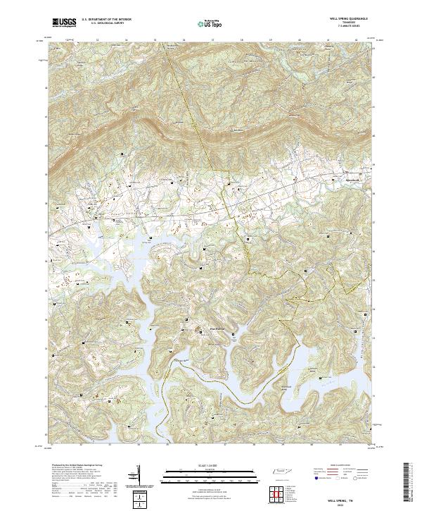
2022 Well Spring
Campbell County, TN