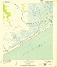
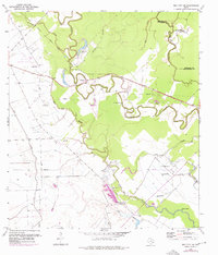
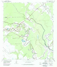
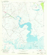
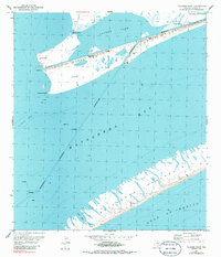
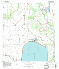
1952 Map of Cedar Lakes West
USGS Topo · Published 1953This historical map portrays the area of Cedar Lakes West in 1952, primarily covering Matagorda County as well as portions of Brazoria County. Featuring a scale of 1:24000, this map provides a highly detailed snapshot of the terrain, roads, buildings, counties, and historical landmarks in the Cedar Lakes West region at the time. Published in 1953, it is one of 4 known editions of this map due to revisions or reprints.
Find a feature on this map
19 named features on this map. Tap any name to fly to it.
Don’t see what you’re looking for? This feature index may not catch every label — zoom into the map to look around manually.
Map Details
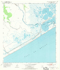
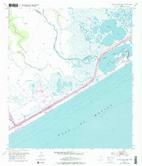
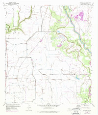
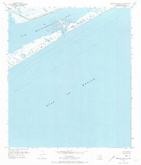
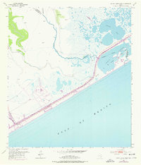
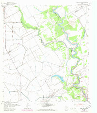
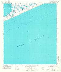
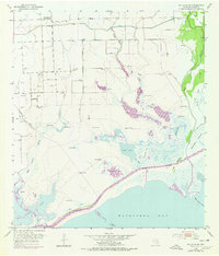
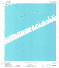
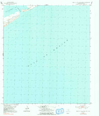
Editions of this 1952 Cedar Lakes West Map
4 editions found
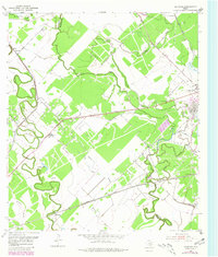
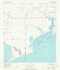
Historical Maps of Brazoria County Through Time
21 maps found
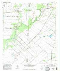
1952 Ashwood
Matagorda County, TX
1952 Bay City NE
Matagorda County, TX
1952 Blessing SE
Matagorda County, TX
1952 Brown Cedar Cut
Matagorda County, TX
1952 Cedar Lakes West
Matagorda County, TX
1952 Cedar Lane
Matagorda County, TX
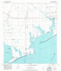
1952 Decros Point
Matagorda County, TX
1952 Dressing Point
Matagorda County, TX
1952 Francitas
Matagorda County, TX
1952 Lake Austin
Matagorda County, TX
1952 Lane City SE
Matagorda County, TX
1952 Matagorda SW
Matagorda County, TX
1952 Palacios NE
Matagorda County, TX
1952 Palacios Point
Matagorda County, TX
1952 Palacios SE
Matagorda County, TX
1952 South of Palacios Point
Matagorda County, TX
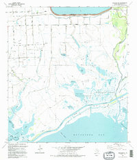
1952 Turtle Bay
Matagorda County, TX
1995 Blessing SE
Matagorda County, TX
1995 Francitas
Matagorda County, TX
1995 Palacios NE
Matagorda County, TX
1995 Turtle Bay
Matagorda County, TX