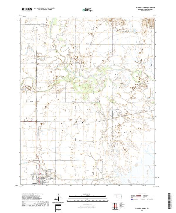
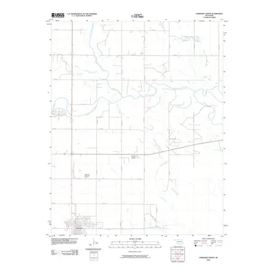
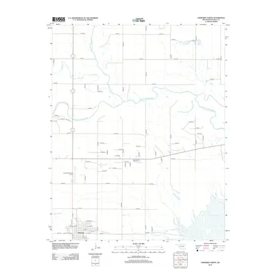
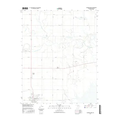
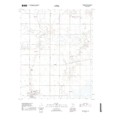
2022 Map of Cherokee North
USGS Topo · Published 2022About this map
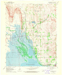
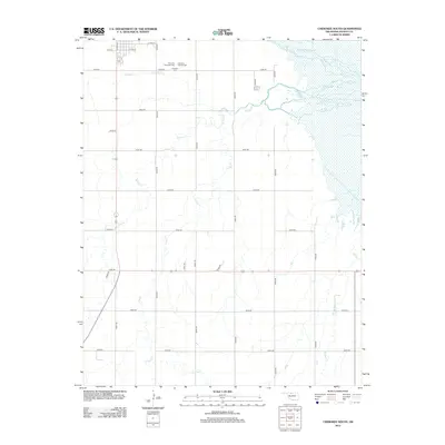
Cherokee serves as the focal point of this northern Oklahoma landscape, where the street grid of the county seat reveals a detailed urban plan including N Grand Ave and E Jefferson St. At the heart of the town, the Alfalfa County Courthouse stands as a central landmark for local history and genealogy research. The surrounding terrain is defined by the winding paths of the Medicine Lodge River and the Salt Fork Arkansas River, which converge in a network of drainage basins and wetlands.
Find a feature on this map
49 named features on this map. Tap any name to fly to it.
Don’t see what you’re looking for? This feature index may not catch every label — zoom into the map to look around manually.
Map Details
Editions of this 2022 Cherokee North Map
This is the sole edition of this map. No revisions or reprints were ever made.
Historical Maps of Cherokee Through Time
30 maps found
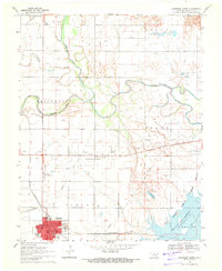
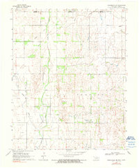
1969 Cherokee North
Alfalfa County, OK
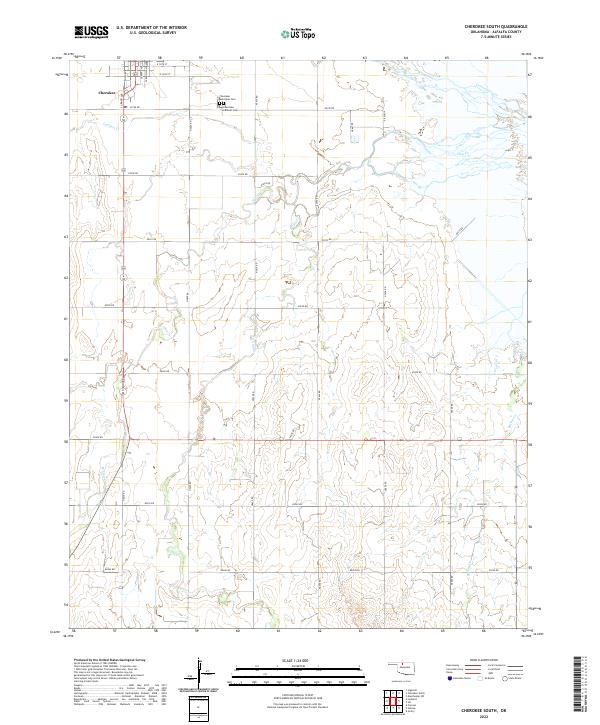
1969 Cherokee South
Alfalfa County, OK
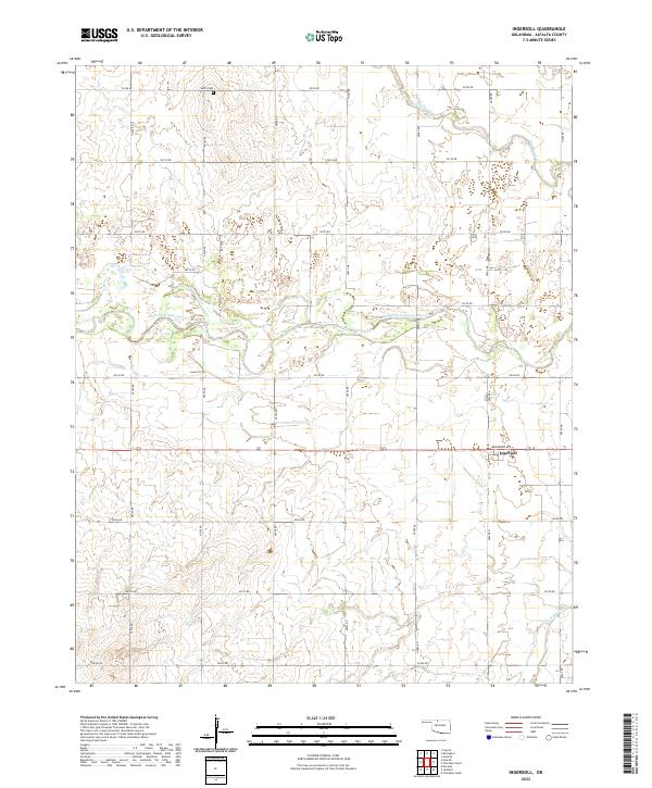
1969 Ingersoll
Alfalfa County, OK
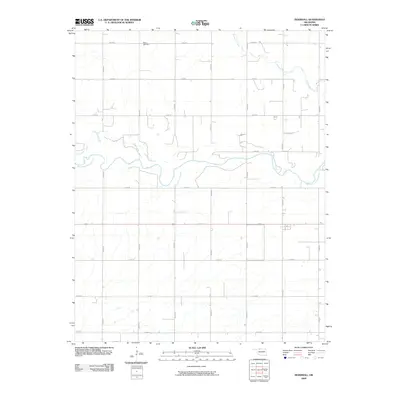
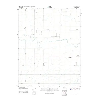
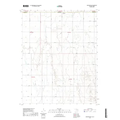
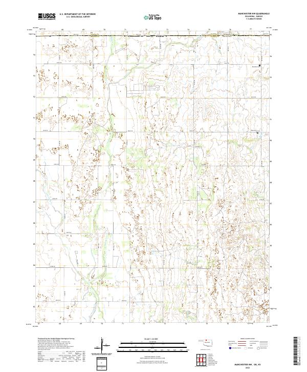
1969 Manchester NW
Alfalfa County, OK
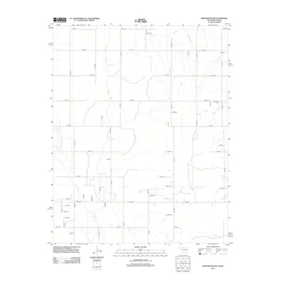
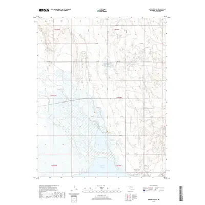
1969 Manchester SW
Alfalfa County, OK
2009 Cherokee North
Alfalfa County, OK
2009 Cherokee South
Alfalfa County, OK
2009 Ingersoll
Alfalfa County, OK
2009 Manchester SW
Alfalfa County, OK
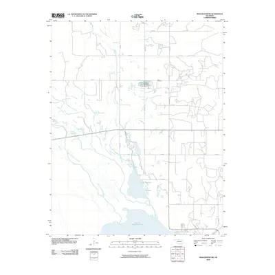
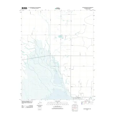
2010 Manchester NW
Alfalfa County, OK
2012 Cherokee North
Alfalfa County, OK
2012 Cherokee South
Alfalfa County, OK
2012 Ingersoll
Alfalfa County, OK
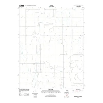
2012 Manchester NW
Alfalfa County, OK
2012 Manchester SW
Alfalfa County, OK
2016 Cherokee North
Alfalfa County, OK
2016 Cherokee South
Alfalfa County, OK
2016 Ingersoll
Alfalfa County, OK
2016 Manchester NW
Alfalfa County, OK
2016 Manchester SW
Alfalfa County, OK
2018 Cherokee North
Alfalfa County, OK
2018 Cherokee South
Alfalfa County, OK
2018 Ingersoll
Alfalfa County, OK
2018 Manchester NW
Alfalfa County, OK
2018 Manchester SW
Alfalfa County, OK
2022 Cherokee North
Alfalfa County, OK
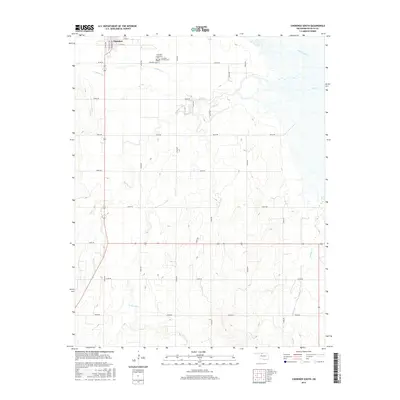
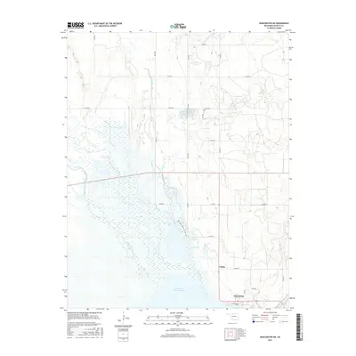
2022 Cherokee South
Alfalfa County, OK
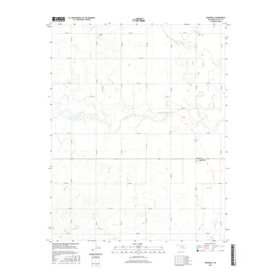
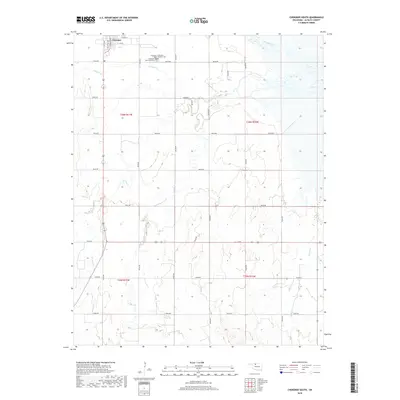
2022 Ingersoll
Alfalfa County, OK
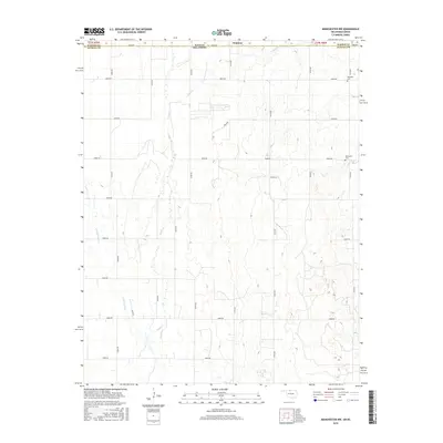
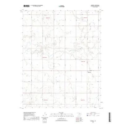
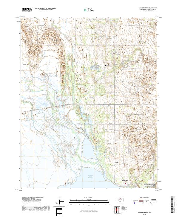
2022 Manchester NW
Alfalfa County, OK
2022 Manchester SW
Alfalfa County, OK