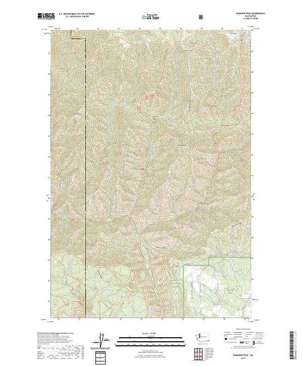
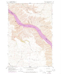
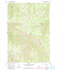
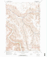
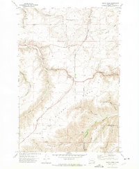
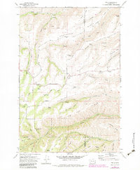
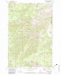
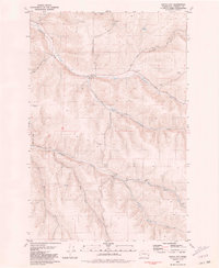
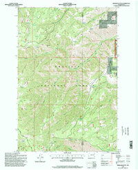
2023 Map of Diamond Peak
USGS Topo · Published 2023About this map
The Wenaha-Tucannon Wilderness and Umatilla National Forest dominate this landscape along the border of Columbia and Garfield counties. High-elevation landmarks such as Diamond Peak and Mt Misery provide anchor points for a network of backcountry paths, including the Mt Misery Trl and Monument Ridge. The terrain is defined by its drainage systems, where the Tucannon River and numerous tributaries like Bear Creek and Willow Creek have carved deep relief into the plateau.
Find a feature on this map
53 named features on this map. Tap any name to fly to it.
Don’t see what you’re looking for? This feature index may not catch every label — zoom into the map to look around manually.
Map Details
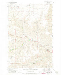
Editions of this 2023 Diamond Peak Map
This is the sole edition of this map. No revisions or reprints were ever made.
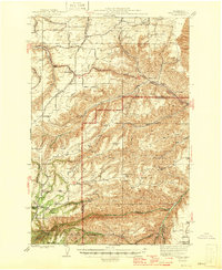
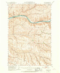
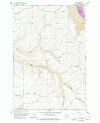
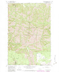
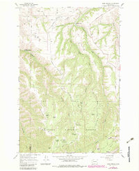
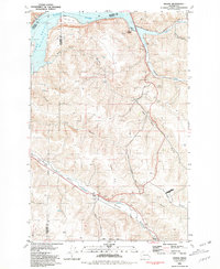
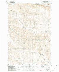
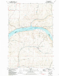
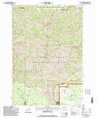
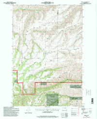
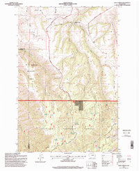
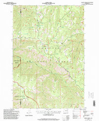
Historical Maps of Columbia County Through Time
36 maps found
1943 Peola
Garfield County, WA
1946 Peola
Garfield County, WA
1950 Penawawa
Garfield County, WA
1964 Granite Point
Garfield County, WA
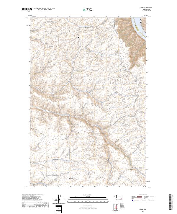
1964 Kirby
Garfield County, WA
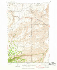
1967 Diamond Peak
Garfield County, WA
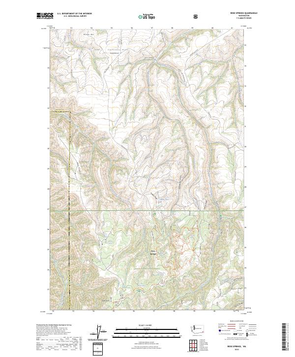
1967 Rose Springs
Garfield County, WA
1967 Stentz Spring
Garfield County, WA
1967 Zumwalt
Garfield County, WA
1971 Alpowa Ridge
Garfield County, WA
1971 Peola
Garfield County, WA
1971 Pinkham Butte
Garfield County, WA
1971 Stember Creek
Garfield County, WA
1981 Dodge
Garfield County, WA
1981 Falling Springs
Garfield County, WA
1981 Gould City
Garfield County, WA
1981 Ping
Garfield County, WA
1995 Diamond Peak
Garfield County, WA
1995 Peola
Garfield County, WA
1995 Pinkham Butte
Garfield County, WA
1995 Rose Springs
Garfield County, WA
1995 Stentz Spring
Garfield County, WA
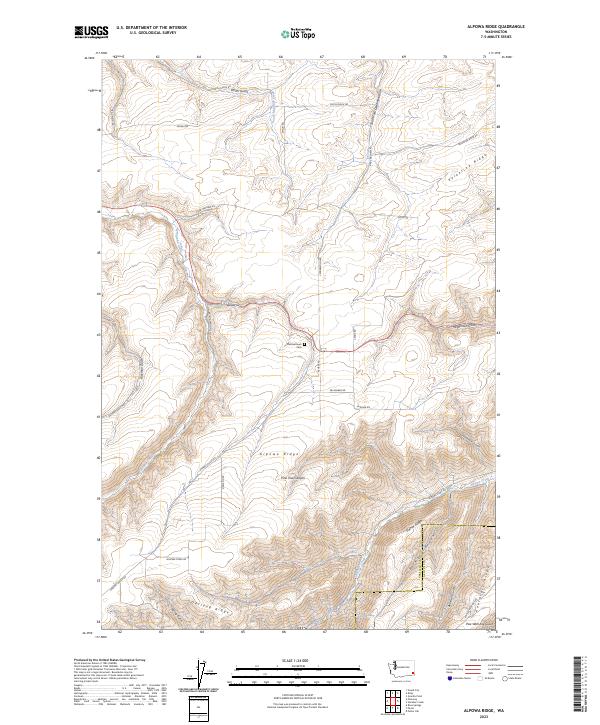
2023 Alpowa Ridge
Garfield County, WA
2023 Diamond Peak
Garfield County, WA
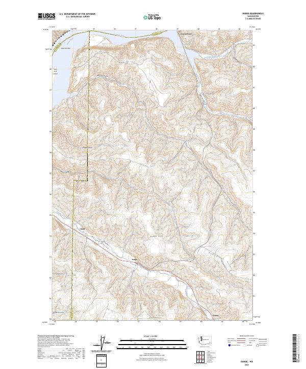
2023 Dodge
Garfield County, WA
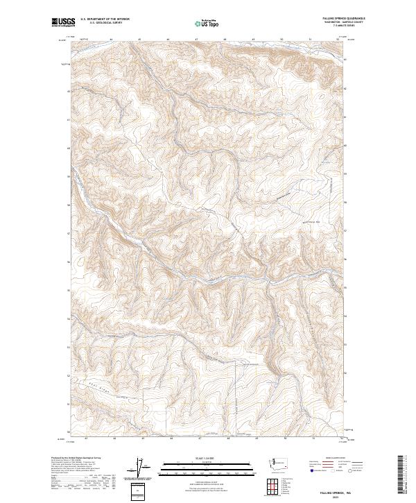
2023 Falling Springs
Garfield County, WA
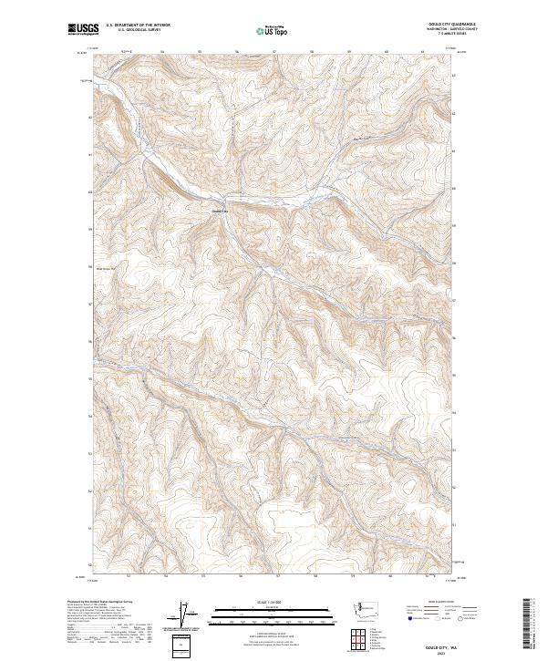
2023 Gould City
Garfield County, WA
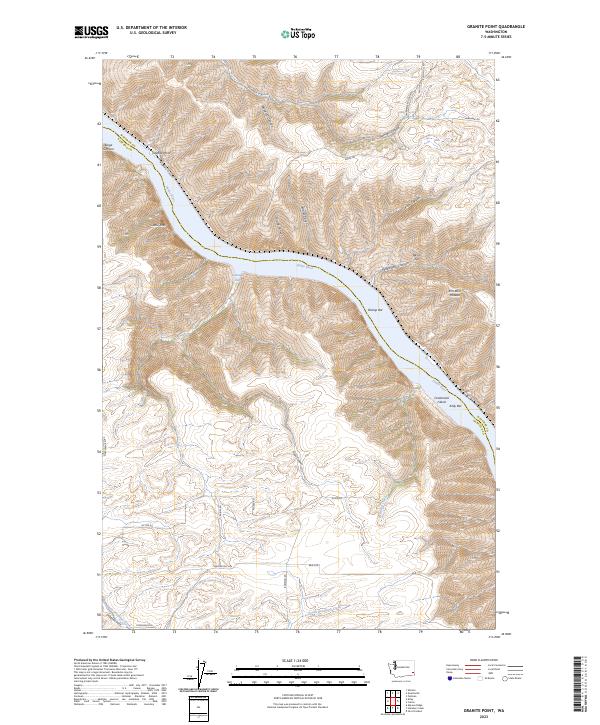
2023 Granite Point
Garfield County, WA
2023 Kirby
Garfield County, WA
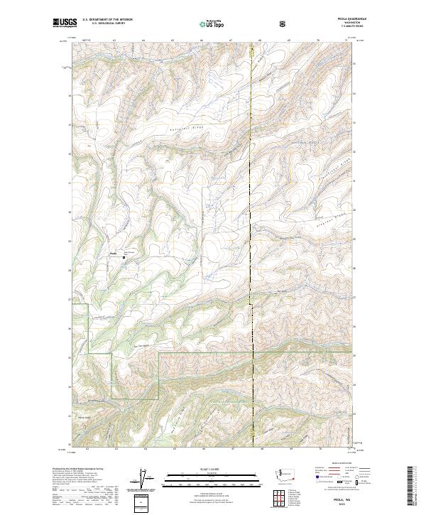
2023 Peola
Garfield County, WA
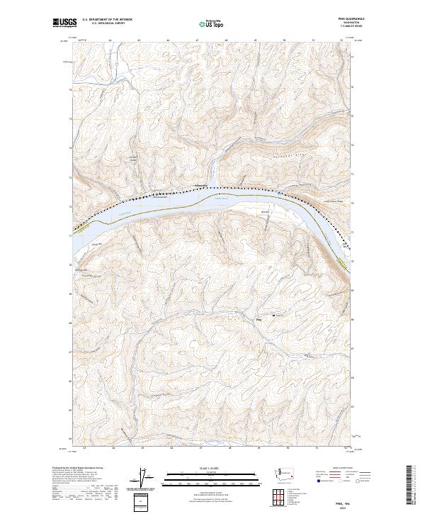
2023 Ping
Garfield County, WA
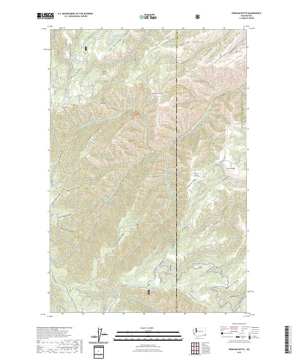
2023 Pinkham Butte
Garfield County, WA
2023 Rose Springs
Garfield County, WA
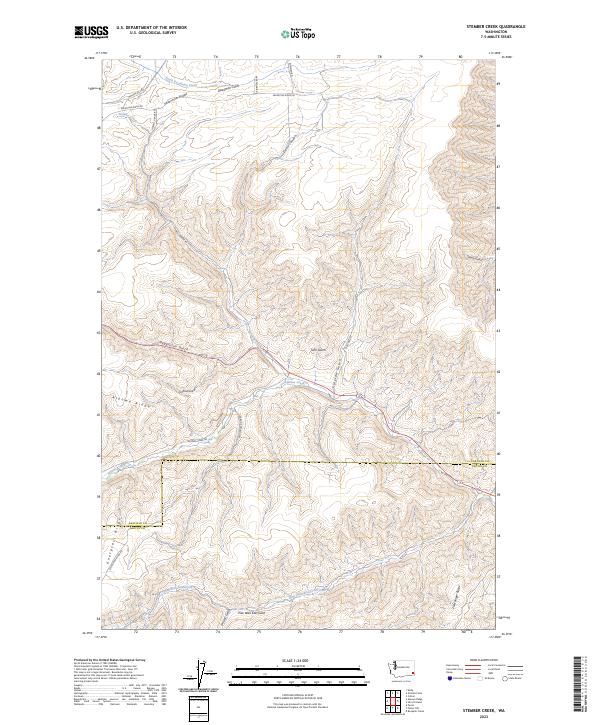
2023 Stember Creek
Garfield County, WA
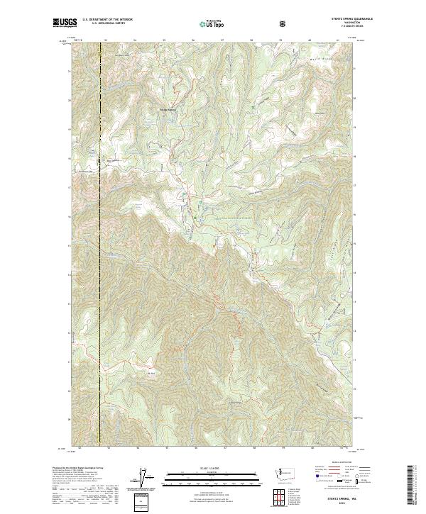
2023 Stentz Spring
Garfield County, WA
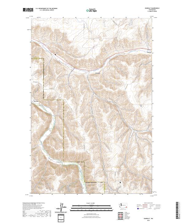
2023 Zumwalt
Garfield County, WA