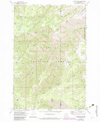
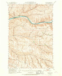
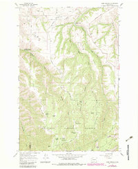
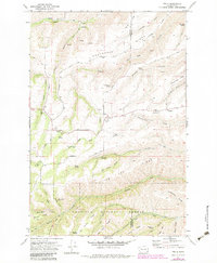
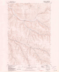
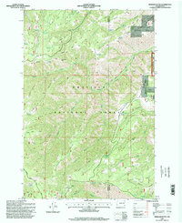
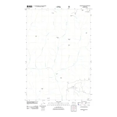
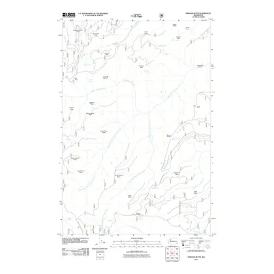
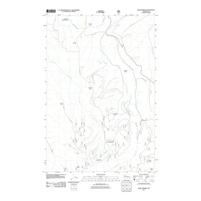
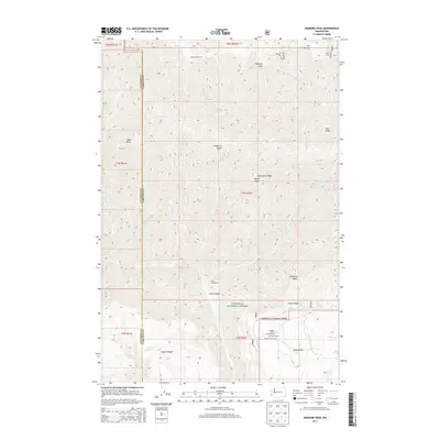
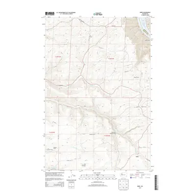
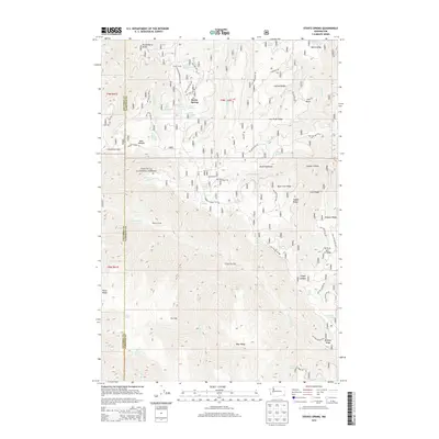
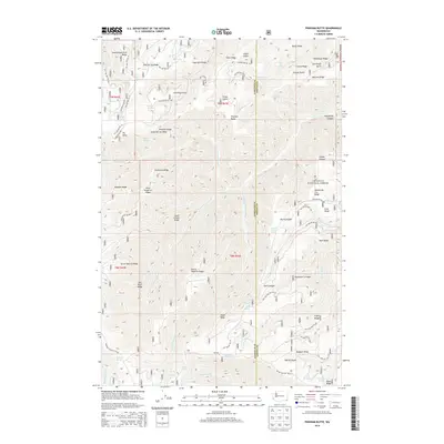
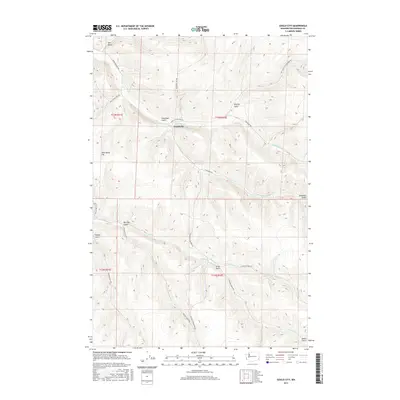
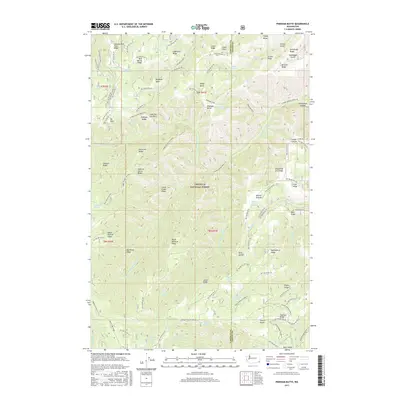
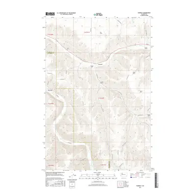
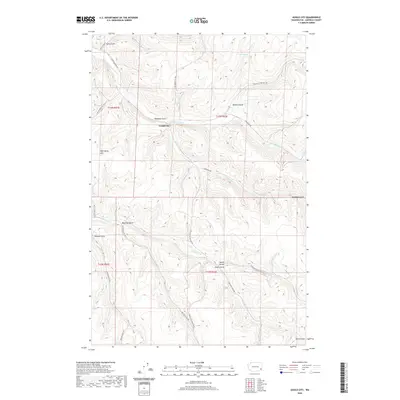
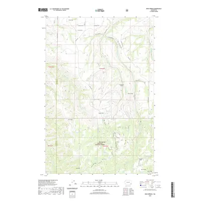
1971 Map of Pinkham Butte
USGS Topo · Published 1983About this map
Umatilla National Forest defines this high-elevation landscape along the border of Garfield and Asotin counties. The terrain is characterized by a dense network of high ridges and deep canyons, including the aptly named Hard-To-Get-To Ridge and the prominent Pinkham Butte. This 1971 survey, photorevised in 1983, illustrates the critical water infrastructure of the region, where numerous named springs like Wickiup Spring, Bracken Springs, and Round Prairie Spring serve as vital resources for both wildlife and forestry management.
Find a feature on this map
61 named features on this map. Tap any name to fly to it.
Don’t see what you’re looking for? This feature index may not catch every label — zoom into the map to look around manually.
Map Details
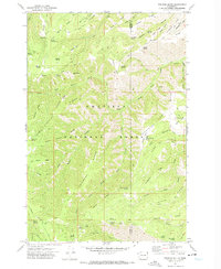
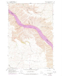
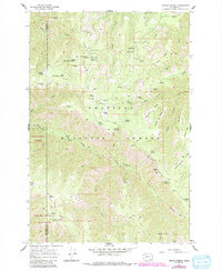
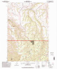
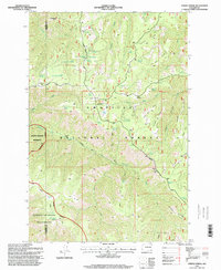
Editions of this 1971 Pinkham Butte Map
2 editions found
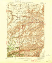
Historical Maps of Asotin County Through Time
92 maps found
1943 Peola
Garfield County, WA
1946 Peola
Garfield County, WA
1950 Penawawa
Garfield County, WA
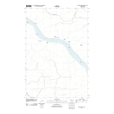
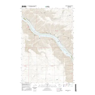
1964 Granite Point
Garfield County, WA
1964 Kirby
Garfield County, WA
1967 Diamond Peak
Garfield County, WA
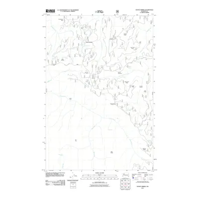
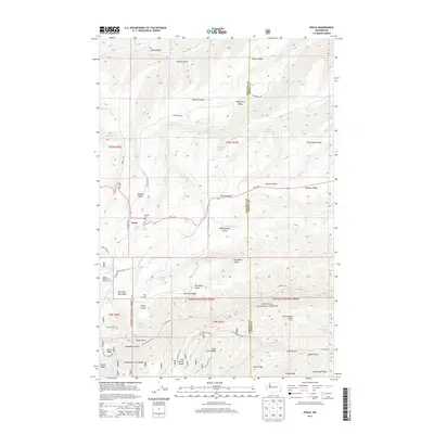
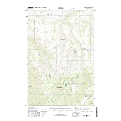
1967 Rose Springs
Garfield County, WA
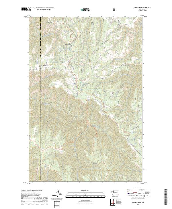
1967 Stentz Spring
Garfield County, WA
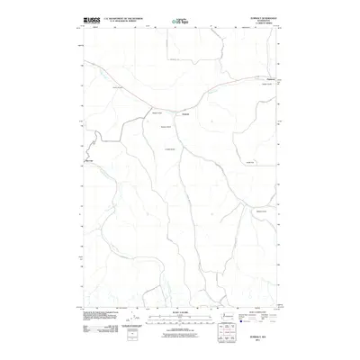
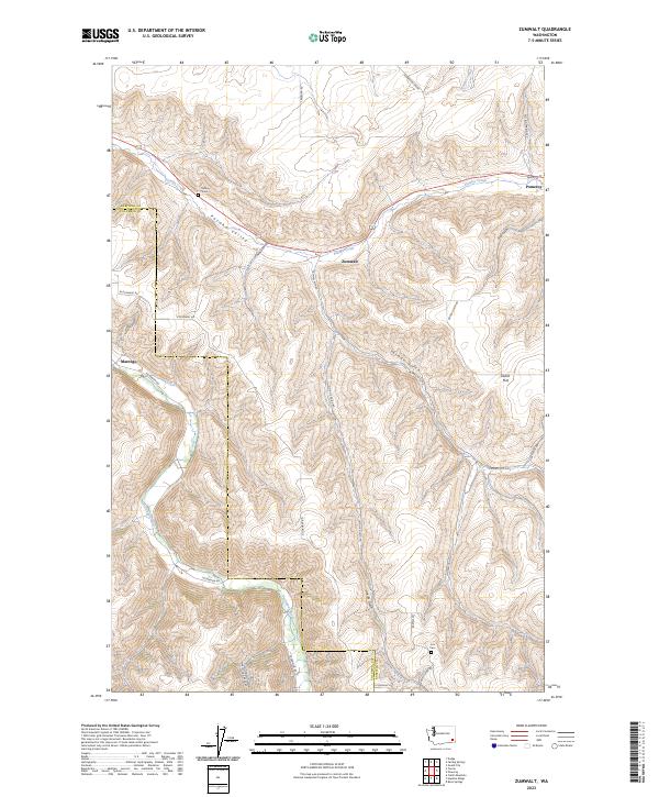
1967 Zumwalt
Garfield County, WA
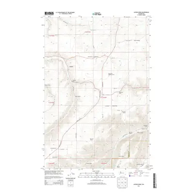
1971 Alpowa Ridge
Garfield County, WA
1971 Peola
Garfield County, WA
1971 Pinkham Butte
Garfield County, WA
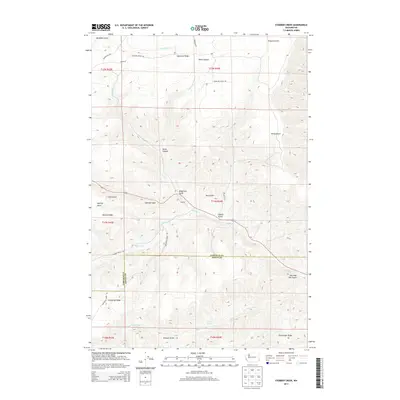
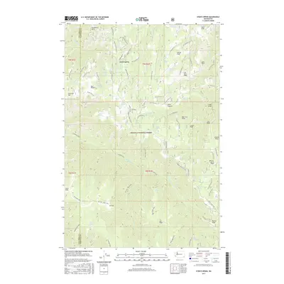
1971 Stember Creek
Garfield County, WA
1981 Dodge
Garfield County, WA
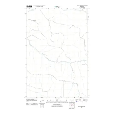
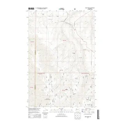
1981 Falling Springs
Garfield County, WA
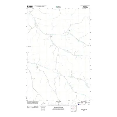
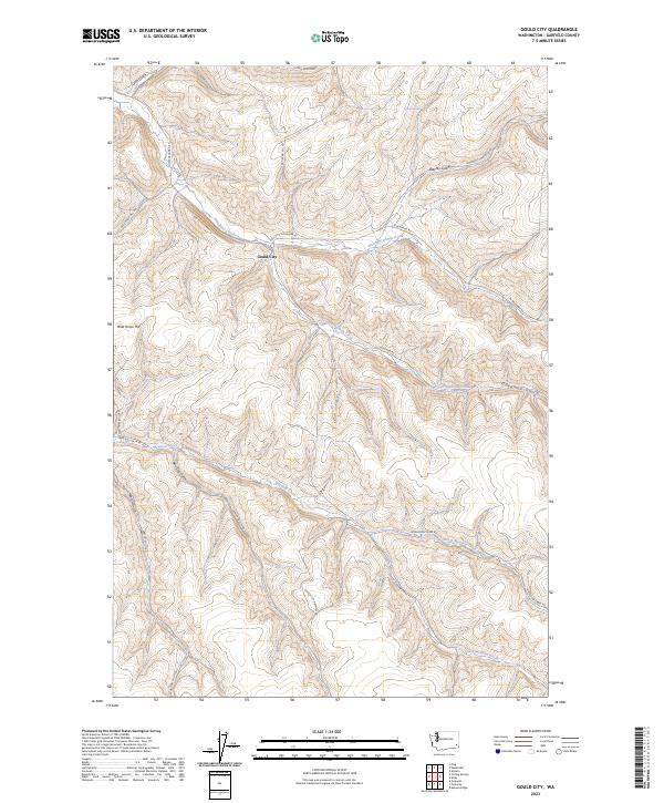
1981 Gould City
Garfield County, WA
1981 Ping
Garfield County, WA
1995 Diamond Peak
Garfield County, WA
1995 Peola
Garfield County, WA
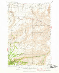
1995 Pinkham Butte
Garfield County, WA
1995 Rose Springs
Garfield County, WA
1995 Stentz Spring
Garfield County, WA
2011 Alpowa Ridge
Garfield County, WA
2011 Diamond Peak
Garfield County, WA

2011 Dodge
Garfield County, WA
2011 Falling Springs
Garfield County, WA
2011 Gould City
Garfield County, WA
2011 Granite Point
Garfield County, WA
2011 Kirby
Garfield County, WA
2011 Peola
Garfield County, WA
2011 Ping
Garfield County, WA
2011 Pinkham Butte
Garfield County, WA
2011 Rose Springs
Garfield County, WA

2011 Stember Creek
Garfield County, WA
2011 Stentz Spring
Garfield County, WA
2011 Zumwalt
Garfield County, WA
2013 Alpowa Ridge
Garfield County, WA
2013 Diamond Peak
Garfield County, WA
2013 Falling Springs
Garfield County, WA
2013 Gould City
Garfield County, WA
2013 Granite Point
Garfield County, WA
2013 Kirby
Garfield County, WA
2013 Peola
Garfield County, WA
2013 Rose Springs
Garfield County, WA
2013 Stember Creek
Garfield County, WA
2013 Stentz Spring
Garfield County, WA
2013 Zumwalt
Garfield County, WA
2014 Dodge
Garfield County, WA
2014 Ping
Garfield County, WA
2014 Pinkham Butte
Garfield County, WA
2017 Alpowa Ridge
Garfield County, WA

2017 Diamond Peak
Garfield County, WA
2017 Dodge
Garfield County, WA
2017 Falling Springs
Garfield County, WA
2017 Gould City
Garfield County, WA
2017 Granite Point
Garfield County, WA

2017 Kirby
Garfield County, WA
2017 Peola
Garfield County, WA
2017 Ping
Garfield County, WA
2017 Pinkham Butte
Garfield County, WA
2017 Rose Springs
Garfield County, WA
2017 Stember Creek
Garfield County, WA
2017 Stentz Spring
Garfield County, WA
2017 Zumwalt
Garfield County, WA

2020 Alpowa Ridge
Garfield County, WA
2020 Diamond Peak
Garfield County, WA
2020 Dodge
Garfield County, WA
2020 Falling Springs
Garfield County, WA
2020 Gould City
Garfield County, WA

2020 Granite Point
Garfield County, WA

2020 Kirby
Garfield County, WA
2020 Peola
Garfield County, WA
2020 Ping
Garfield County, WA
2020 Pinkham Butte
Garfield County, WA
2020 Rose Springs
Garfield County, WA
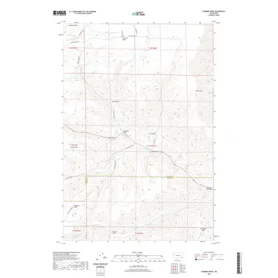
2020 Stember Creek
Garfield County, WA
2020 Stentz Spring
Garfield County, WA
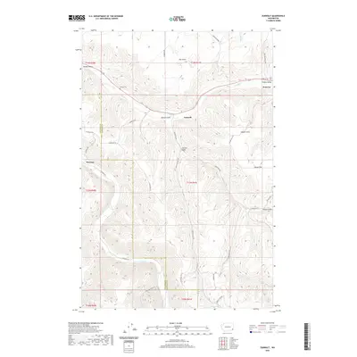
2020 Zumwalt
Garfield County, WA
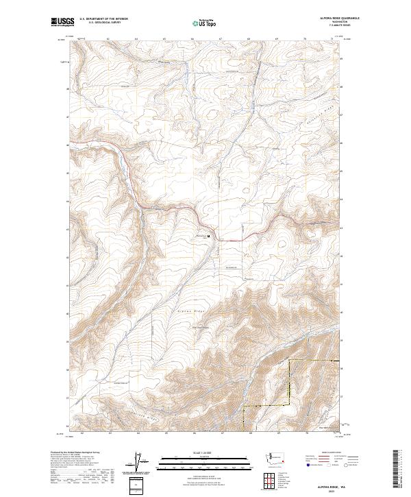
2023 Alpowa Ridge
Garfield County, WA
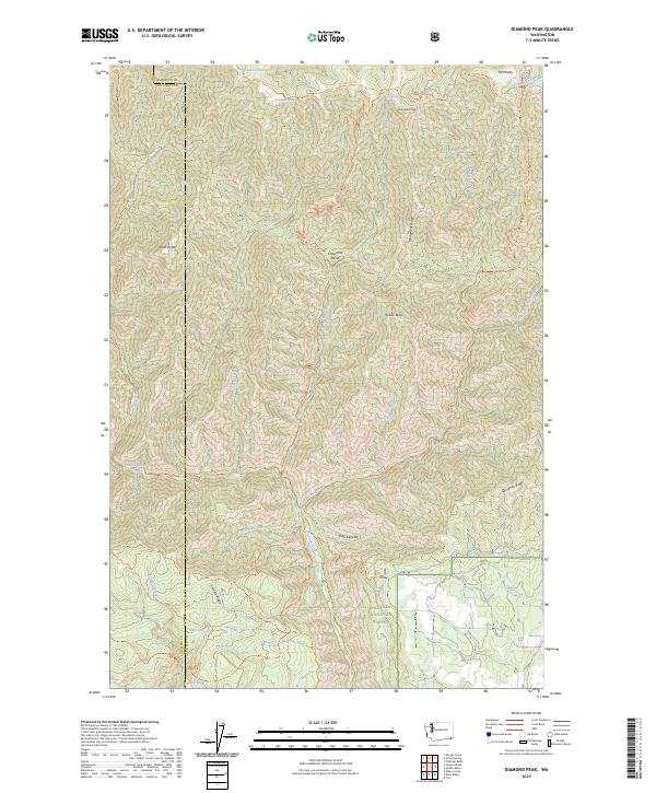
2023 Diamond Peak
Garfield County, WA
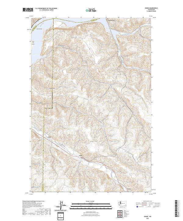
2023 Dodge
Garfield County, WA
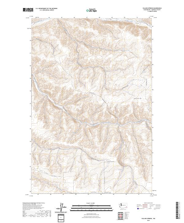
2023 Falling Springs
Garfield County, WA
2023 Gould City
Garfield County, WA
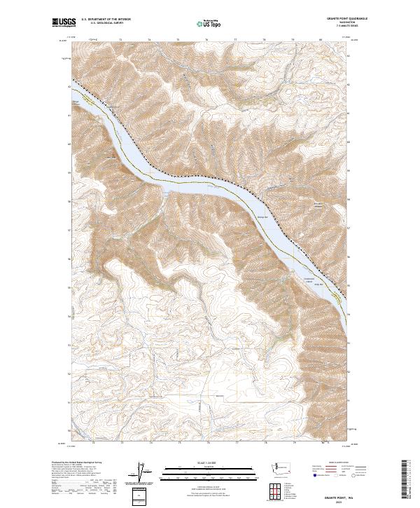
2023 Granite Point
Garfield County, WA
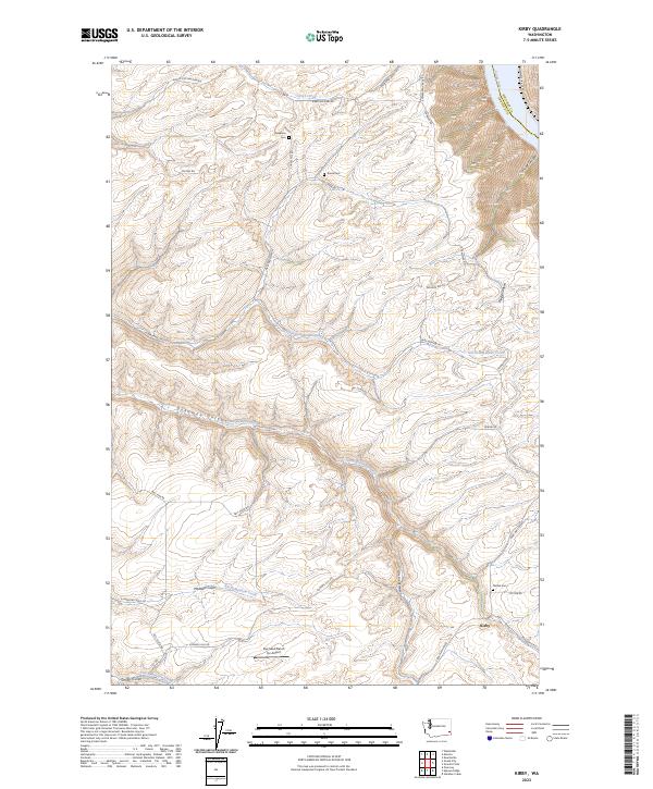
2023 Kirby
Garfield County, WA
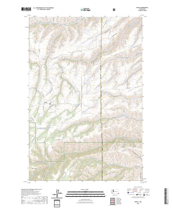
2023 Peola
Garfield County, WA
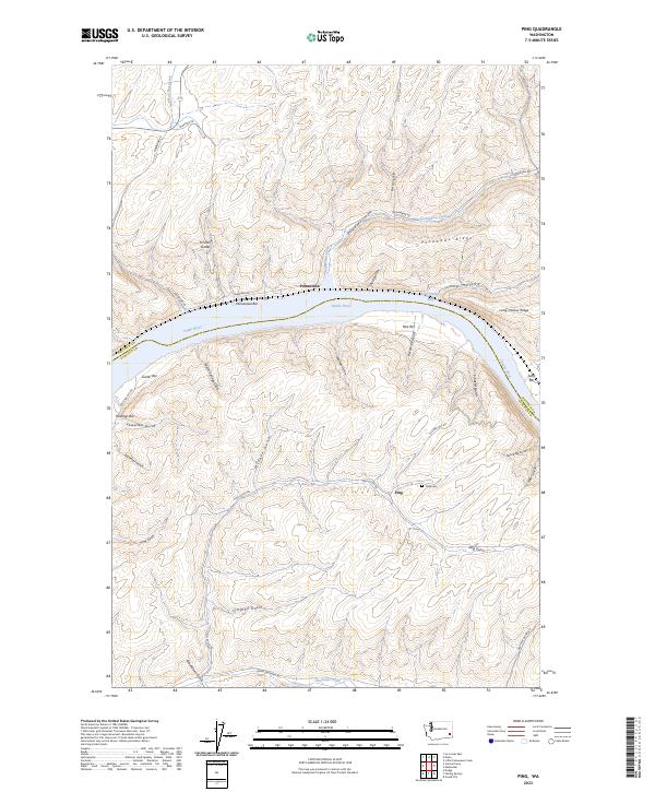
2023 Ping
Garfield County, WA
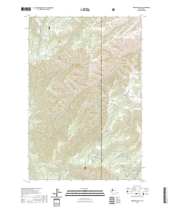
2023 Pinkham Butte
Garfield County, WA
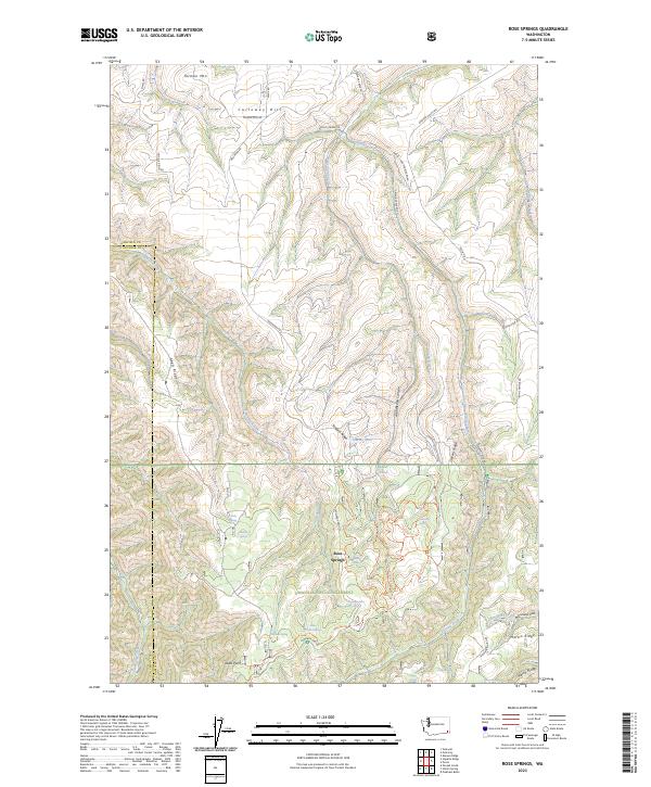
2023 Rose Springs
Garfield County, WA
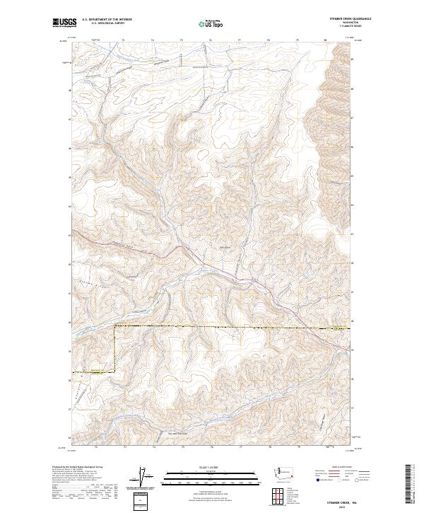
2023 Stember Creek
Garfield County, WA
2023 Stentz Spring
Garfield County, WA
2023 Zumwalt
Garfield County, WA