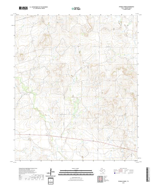
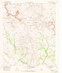
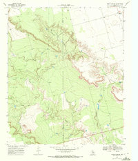
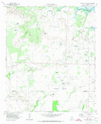
2022 Map of Fivemile Creek
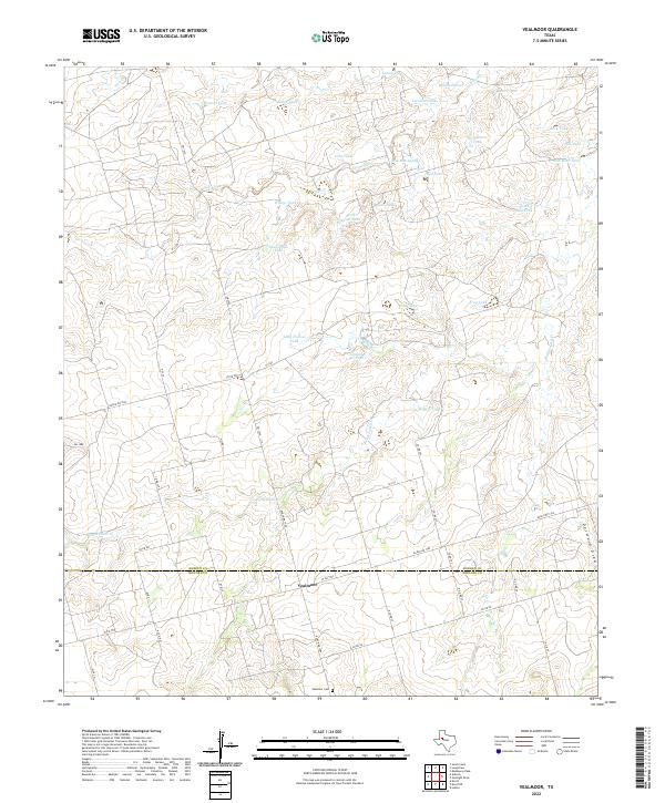
USGS Topo · Published 2022This historical map portrays the area of Fivemile Creek in 2022, primarily covering Borden County. Featuring a scale of 1:24000, this map provides a highly detailed snapshot of the terrain, roads, buildings, counties, and historical landmarks in the Fivemile Creek region at the time. Published in 2022, it is the sole known edition of this map.
Find a feature on this map
20 named features on this map. Tap any name to fly to it.
Don’t see what you’re looking for? This feature index may not catch every label — zoom into the map to look around manually.
Map Details
Editions of this 2022 Fivemile Creek Map
This is the sole edition of this map. No revisions or reprints were ever made.
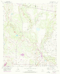
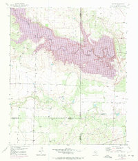
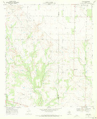
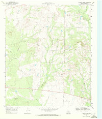
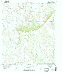
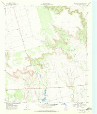
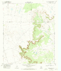
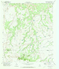
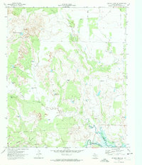
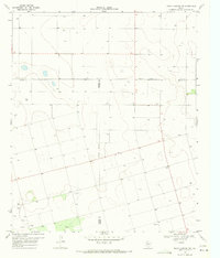
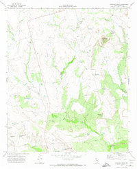
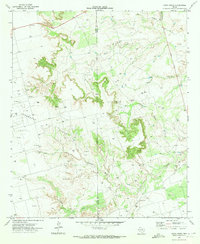
Historical Maps of Borden County Through Time
34 maps found
1951 Ira NW
Borden County, TX
1951 Ira SW
Borden County, TX
1969 Arah
Borden County, TX
1969 Beal Hollow
Borden County, TX
1969 Fivemile Creek
Borden County, TX
1969 Gail NE
Borden County, TX
1969 Holloway Canyon
Borden County, TX
1969 Indian Canyon
Borden County, TX
1969 Indian Canyon NE
Borden County, TX
1970 Gunsight Draw
Borden County, TX
1970 Gunsight Draw NE
Borden County, TX
1970 Gunsight Draw SE
Borden County, TX
1970 Indian Canyon NW
Borden County, TX

1970 Long Draw
Borden County, TX
1970 Mushaway Peak
Borden County, TX
1970 Sand Creek
Borden County, TX
1970 Vealmoor
Borden County, TX
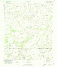
2022 Arah
Borden County, TX
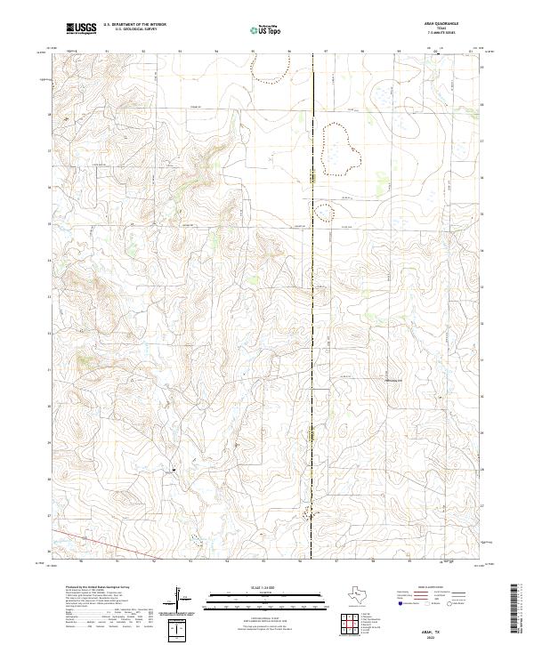
2022 Beal Hollow
Borden County, TX
2022 Fivemile Creek
Borden County, TX
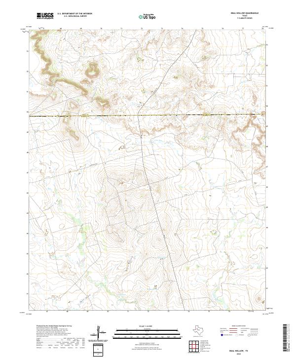
2022 Gail NE
Borden County, TX
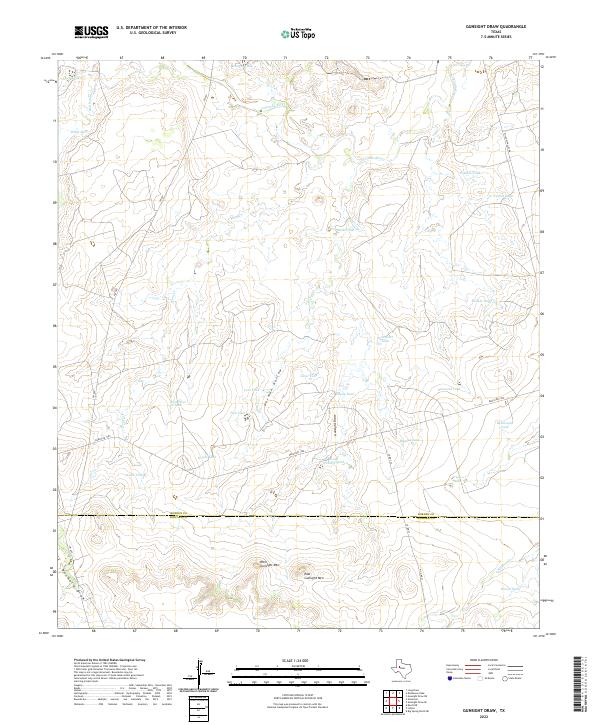
2022 Gunsight Draw
Borden County, TX
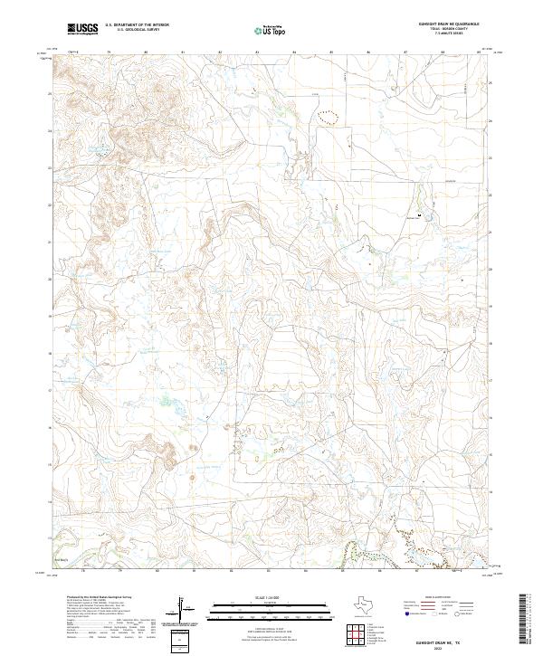
2022 Gunsight Draw NE
Borden County, TX
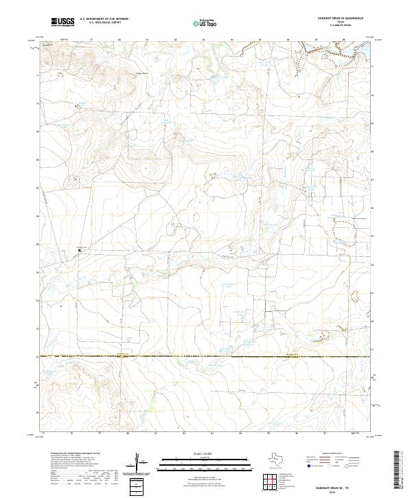
2022 Gunsight Draw SE
Borden County, TX
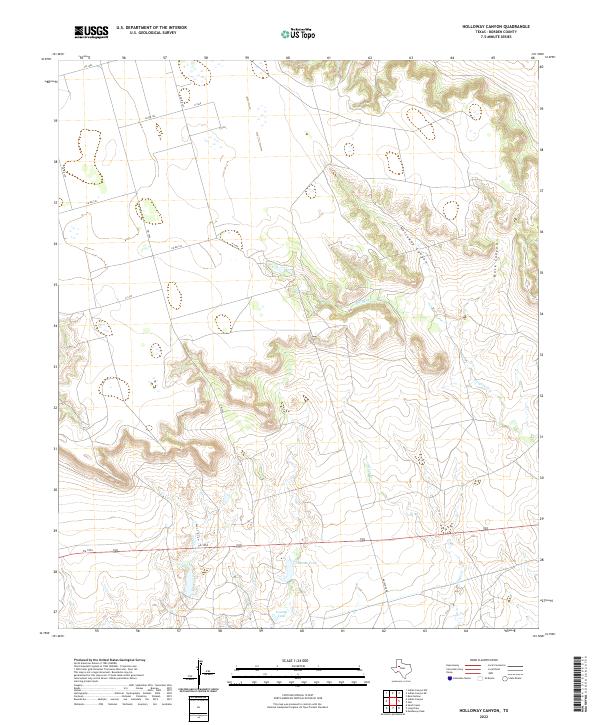
2022 Holloway Canyon
Borden County, TX
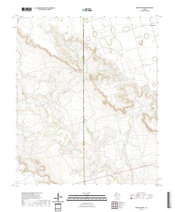
2022 Indian Canyon
Borden County, TX
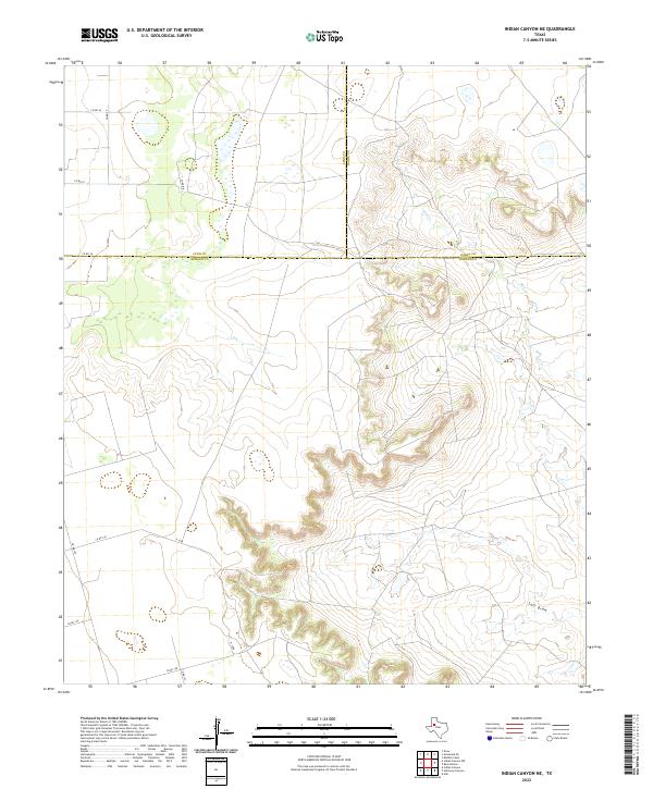
2022 Indian Canyon NE
Borden County, TX
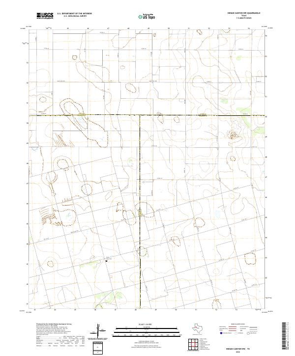
2022 Indian Canyon NW
Borden County, TX
2022 Ira NW
Borden County, TX
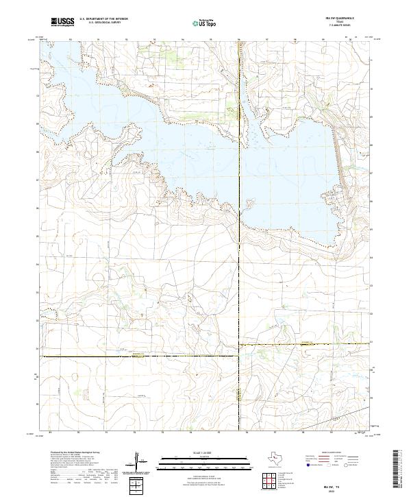
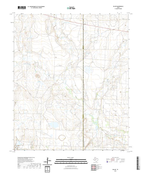
2022 Ira SW
Borden County, TX
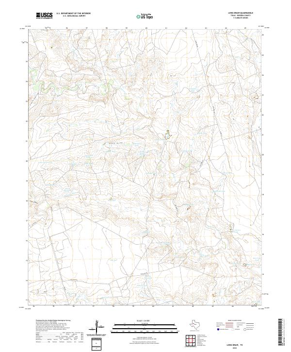
2022 Long Draw
Borden County, TX
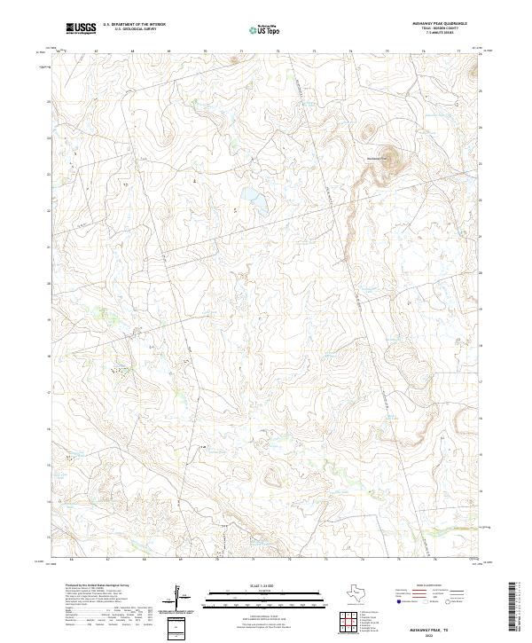
2022 Mushaway Peak
Borden County, TX
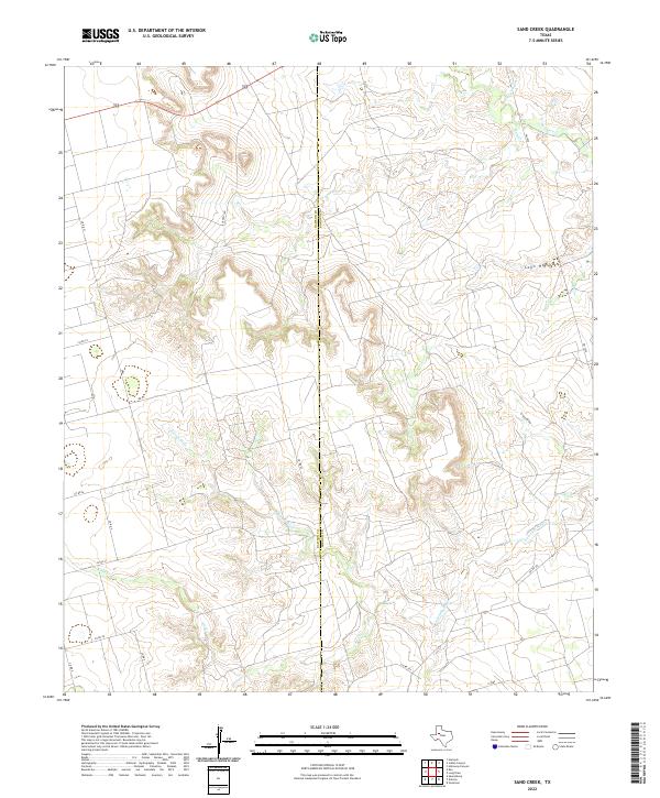
2022 Sand Creek
Borden County, TX
2022 Vealmoor
Borden County, TX