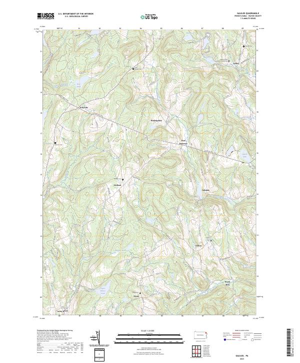
2023 Map of Galilee
USGS Topo · Published 2023About this map
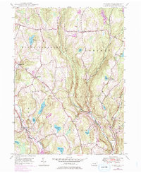
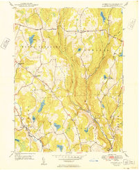
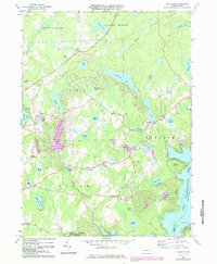
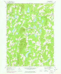
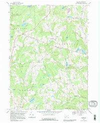
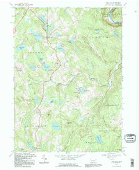
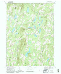
Galilee and its surrounding hamlets in Wayne County appear as a network of rural settlements connected by historic turnpikes and winding country roads. The landscape is defined by the headwaters of North Branch Calkins Creek and South Branch Calkins Creek, which flow through the fertile grounds of Butternut Flats. Small-scale farming and timbering traditions are evident in the concentration of family-named landmarks and crossroad communities like Rileyville, Girdland, and Boyds Mills. Local history and genealogy are preserved in numerous community burial grounds, including the Galilee United Methodist Church Cem and Saint Josephs Cem. The western edge is dominated by the protected acreage of State Game Lands 159, while the eastern portion features several significant water bodies such as Sky Lake and Laurel Lake, reflecting the region's long-standing character as a quiet interior upland.
Find a feature on this map
102 named features on this map. Tap any name to fly to it.
Don’t see what you’re looking for? This feature index may not catch every label — zoom into the map to look around manually.
Map Details
Editions of this 2023 Galilee Map
This is the sole edition of this map. No revisions or reprints were ever made.
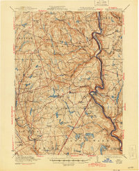
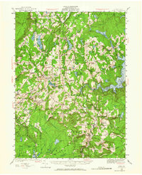
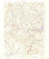
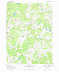
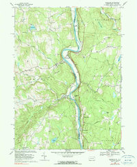
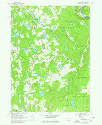
Historical Maps of Calkins Through Time
31 maps found

1920 Damascus
Wayne County, PA
1923 Damascus
Wayne County, PA
1928 Ariel
Wayne County, PA
1932 Ariel
Wayne County, PA

1944 Damascus
Wayne County, PA
1946 Aldenville
Wayne County, PA
1949 Aldenville
Wayne County, PA
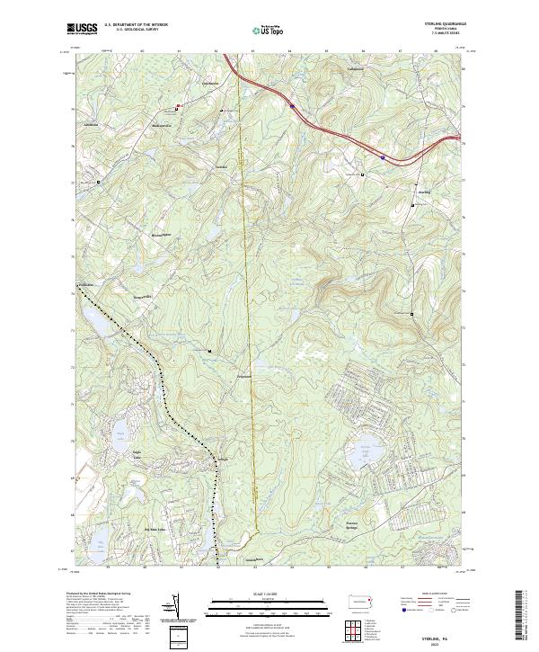
1965 Sterling
Wayne County, PA
1966 Lake Ariel
Wayne County, PA
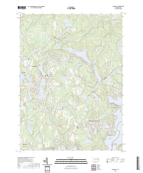
1966 Lakeville
Wayne County, PA
1967 Galilee
Wayne County, PA
1968 Damascus
Wayne County, PA
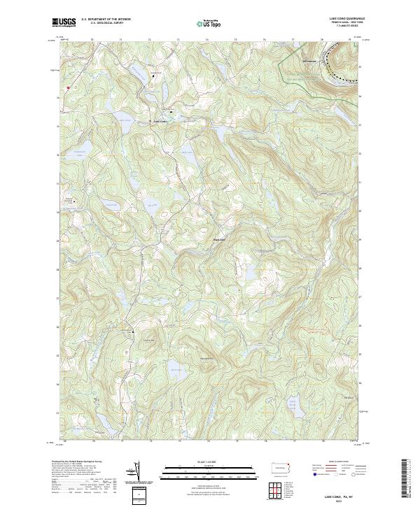
1968 Lake Como
Wayne County, PA
1968 Orson
Wayne County, PA
1992 Galilee
Wayne County, PA
1992 Lake Como
Wayne County, PA
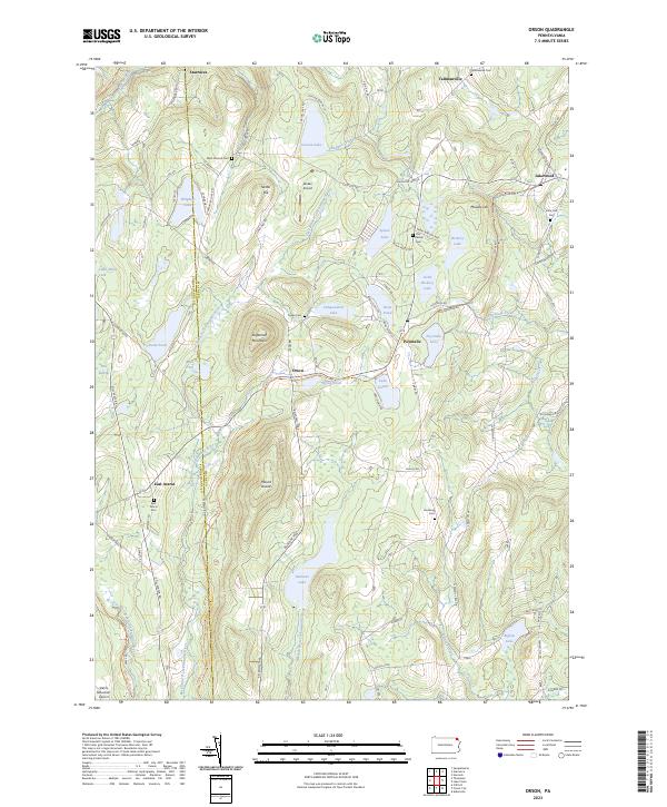
1992 Orson
Wayne County, PA

1993 Damascus
Wayne County, PA
1994 Aldenville
Wayne County, PA

1994 Lake Ariel
Wayne County, PA

1994 Lakeville
Wayne County, PA

1994 Sterling
Wayne County, PA

1997 Sterling
Wayne County, PA
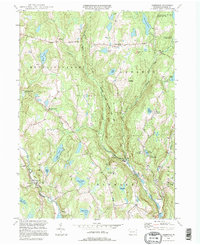
2023 Aldenville
Wayne County, PA
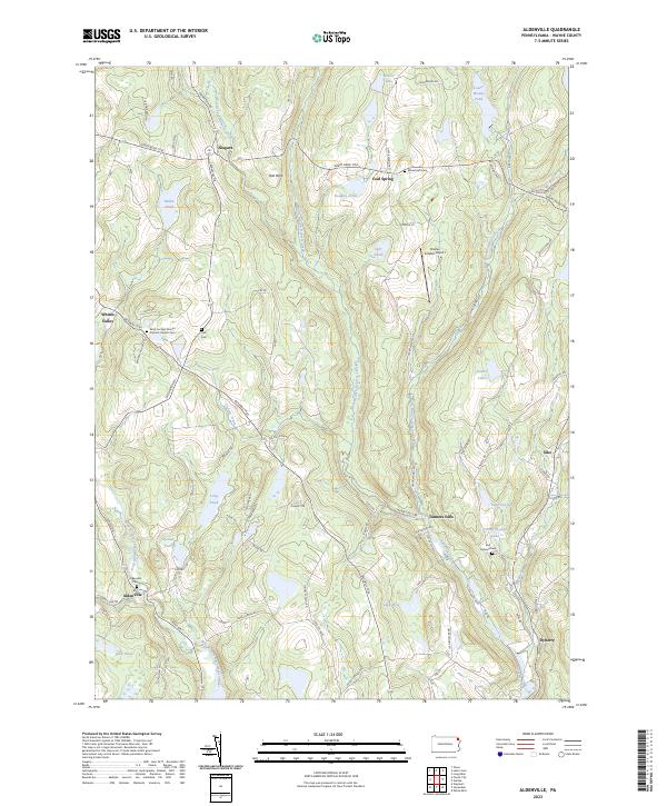
2023 Damascus
Wayne County, PA
2023 Galilee
Wayne County, PA
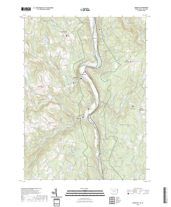
2023 Lake Ariel
Wayne County, PA
2023 Lake Como
Wayne County, PA
2023 Lakeville
Wayne County, PA
2023 Orson
Wayne County, PA
2023 Sterling
Wayne County, PA
Featured Locations
- Oregon Township, PA
- Damascus Township, PA
- Lebanon Township, PA
- Boyds Mills, Damascus Township
- Girdland, Lebanon Township