
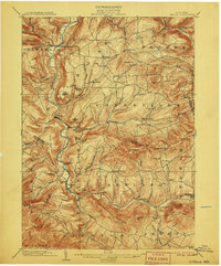
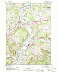
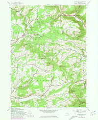
1903 Map of Gilboa
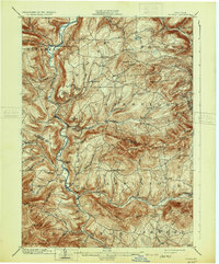
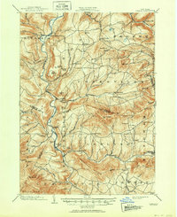
USGS Topo · Published 1903This historical map portrays the area of Gilboa in 1903, primarily covering Schoharie County as well as portions of Greene County, Delaware County, and Albany County. Featuring a scale of 1:62500, this map provides a highly detailed snapshot of the terrain, roads, buildings, counties, and historical landmarks in the Gilboa region at the time. Published in 1903, it is one of 9 known editions of this map due to revisions or reprints.
Find a feature on this map
80 named features on this map. Tap any name to fly to it.
Don’t see what you’re looking for? This feature index may not catch every label — zoom into the map to look around manually.
Map Details
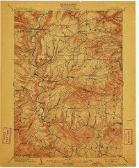
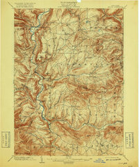
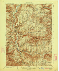
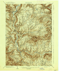
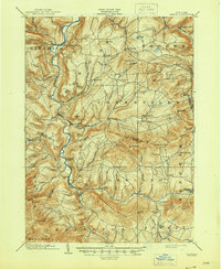
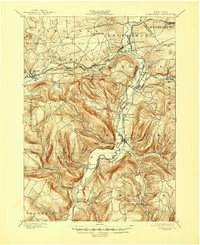
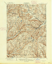
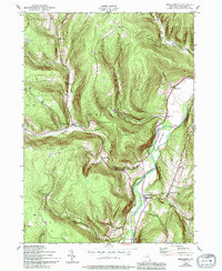
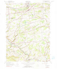
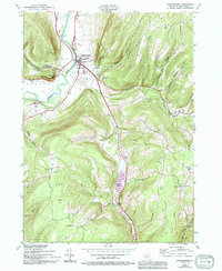
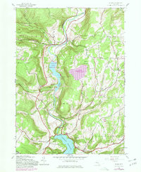
Editions of this 1903 Gilboa Map
9 editions found
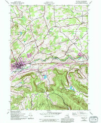
Historical Maps of Mackey Through Time
27 maps found

1898 Schoharie
Schoharie County, NY

1900 Schoharie
Schoharie County, NY
1900 Schoharie
Schoharie County, NY

1901 Gilboa
Schoharie County, NY
1903 Gilboa
Schoharie County, NY
1904 Richmondville
Schoharie County, NY
1943 Breakabeen
Schoharie County, NY
1943 Cobleskill
Schoharie County, NY
1943 Schoharie
Schoharie County, NY

1943 Summit
Schoharie County, NY
1944 Gallupville
Schoharie County, NY
1944 Middleburgh
Schoharie County, NY

1944 Richmondville
Schoharie County, NY

1945 Cobleskill
Schoharie County, NY
1945 Gilboa
Schoharie County, NY
1945 Livingstonville
Schoharie County, NY

1945 Richmondville
Schoharie County, NY

1945 Stamford
Schoharie County, NY

1945 Summit
Schoharie County, NY

1946 Breakabeen
Schoharie County, NY

1946 Gallupville
Schoharie County, NY

1946 Livingstonville
Schoharie County, NY

1946 Middleburgh
Schoharie County, NY

1946 Schoharie
Schoharie County, NY

1946 Stamford
Schoharie County, NY

1962 Livingstonville
Schoharie County, NY

1996 Cobleskill
Schoharie County, NY