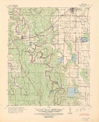
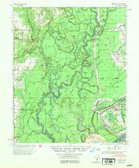
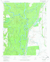
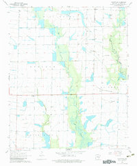
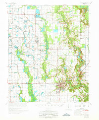
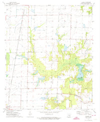
1941 Map of Goldman
USGS Topo · Published 1944This historical map portrays the area of Goldman in 1941, primarily covering Arkansas County as well as portions of Prairie County, Lonoke County, and Jefferson County. Featuring a scale of 1:62500, this map provides a highly detailed snapshot of the terrain, roads, buildings, counties, and historical landmarks in the Goldman region at the time. Published in 1944, it is one of 2 known editions of this map due to revisions or reprints.
Find a feature on this map
51 named features on this map. Tap any name to fly to it.
Don’t see what you’re looking for? This feature index may not catch every label — zoom into the map to look around manually.
Map Details
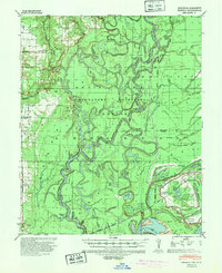
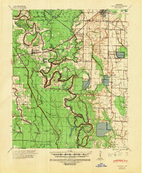
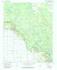
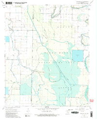
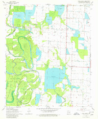
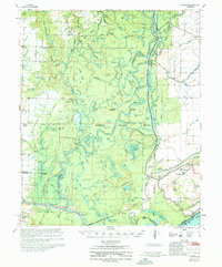
Editions of this 1941 Goldman Map
2 editions found
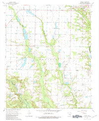
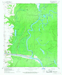
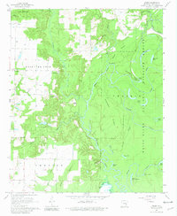
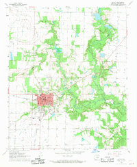
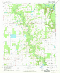
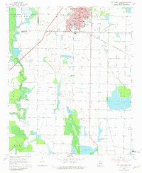
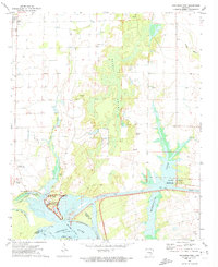
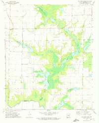
Historical Maps of Prairie County Through Time
36 maps found
1939 Henrico
Arkansas County, AR

1941 De Witt
Arkansas County, AR
1941 Goldman
Arkansas County, AR
1954 De Witt
Arkansas County, AR
1954 Henrico
Arkansas County, AR
1967 Crocketts Bluff
Arkansas County, AR
1967 Ethel
Arkansas County, AR
1967 Henrico SW
Arkansas County, AR
1967 Indian Bay SE
Arkansas County, AR
1967 Weber
Arkansas County, AR
1968 De Witt
Arkansas County, AR
1968 De Witt NE
Arkansas County, AR
1968 De Witt SW
Arkansas County, AR
1968 Humphrey SW
Arkansas County, AR
1968 Lodge Corner
Arkansas County, AR
1968 Stuttgart South
Arkansas County, AR
1970 De Witt
Arkansas County, AR
1970 Henrico
Arkansas County, AR
1972 Arkansas Post
Arkansas County, AR
1972 One Horse Store
Arkansas County, AR
1972 Tichnor
Arkansas County, AR
1986 De Witt
Arkansas County, AR
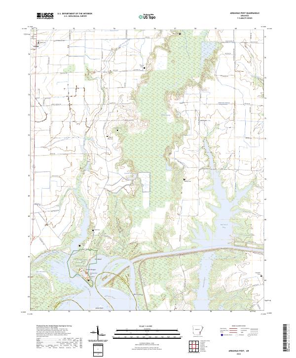
2024 Arkansas Post
Arkansas County, AR
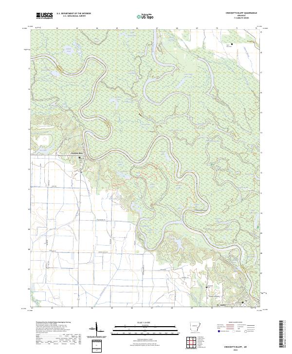
2024 Crocketts Bluff
Arkansas County, AR
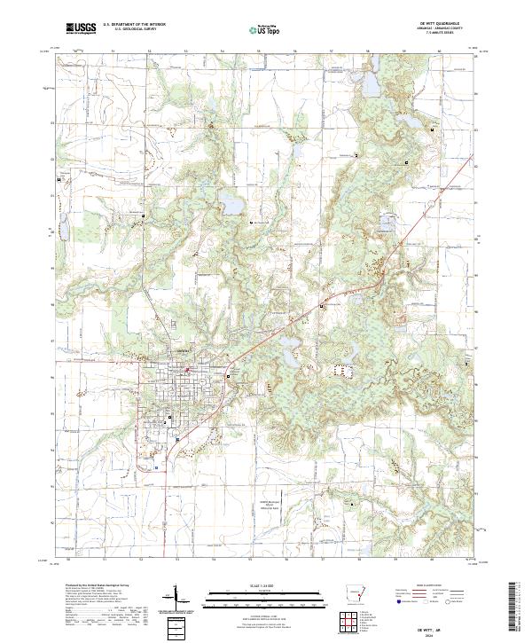
2024 De Witt
Arkansas County, AR
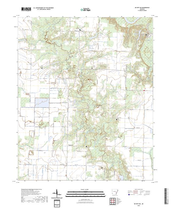
2024 De Witt NE
Arkansas County, AR
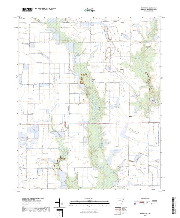
2024 De Witt SW
Arkansas County, AR
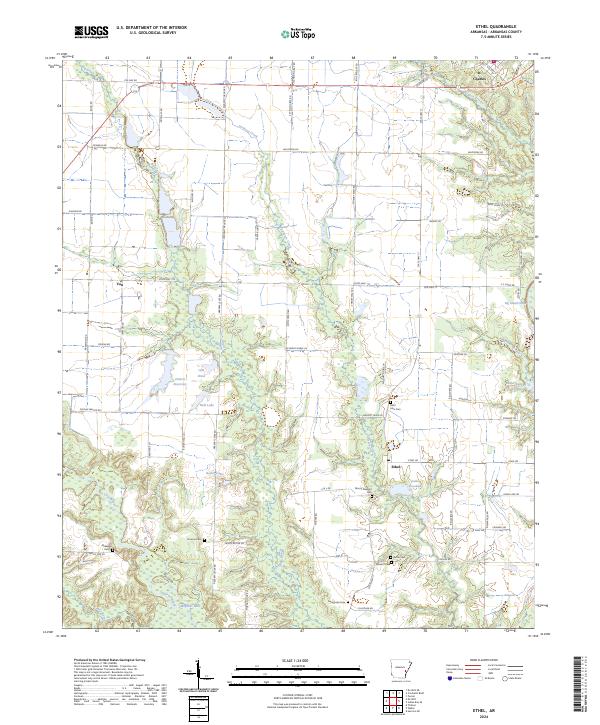
2024 Ethel
Arkansas County, AR
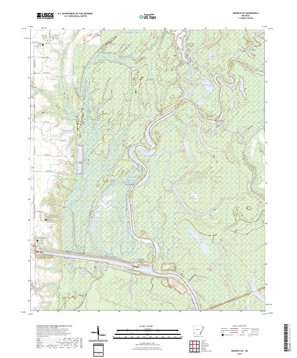
2024 Henrico SW
Arkansas County, AR
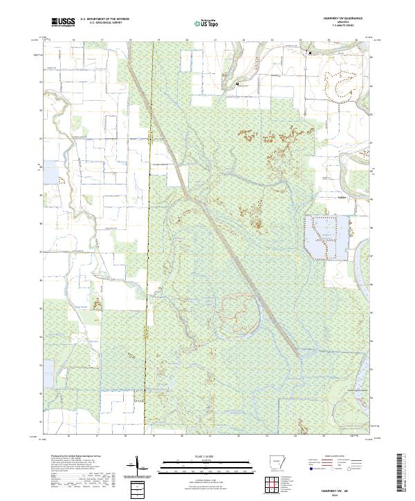
2024 Humphrey SW
Arkansas County, AR
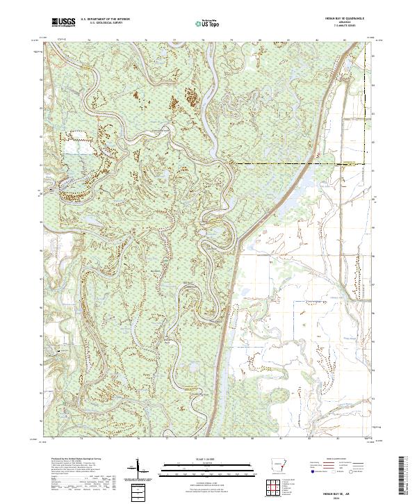
2024 Indian Bay SE
Arkansas County, AR
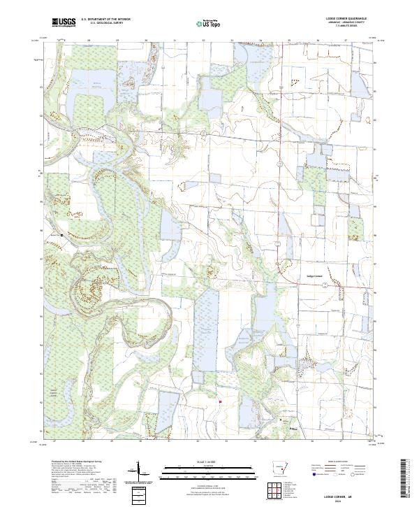
2024 Lodge Corner
Arkansas County, AR
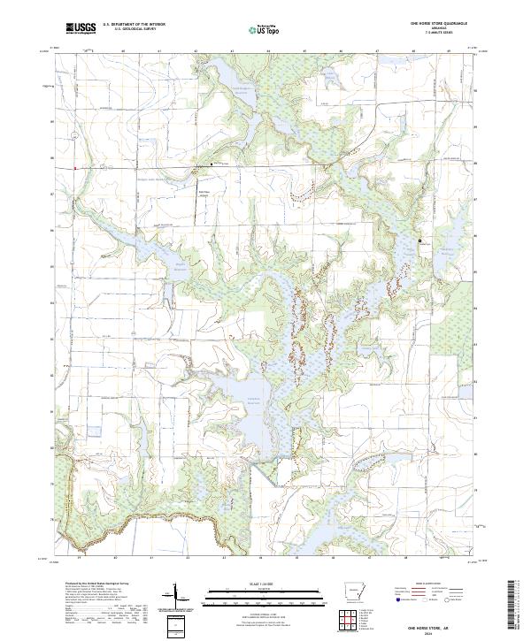
2024 One Horse Store
Arkansas County, AR
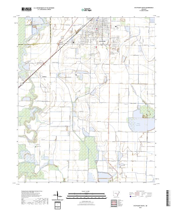
2024 Stuttgart South
Arkansas County, AR
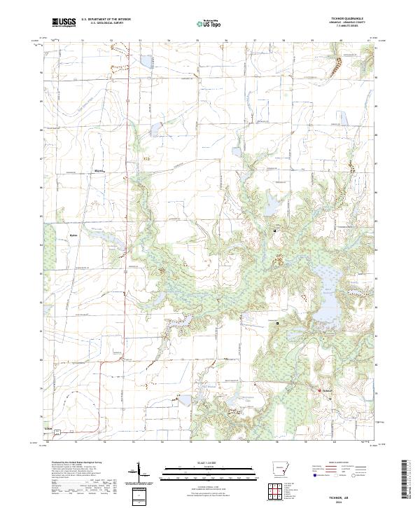
2024 Tichnor
Arkansas County, AR
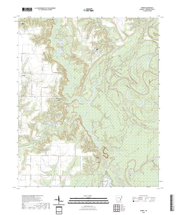
2024 Weber
Arkansas County, AR