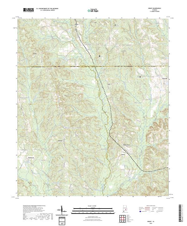
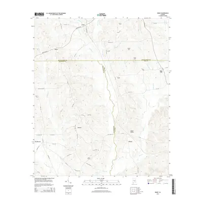
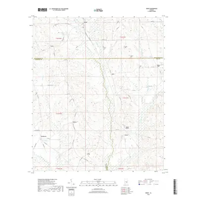
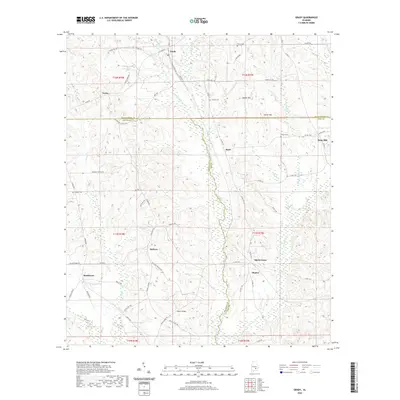
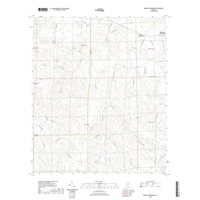
2024 Map of Grady
USGS Topo · Published 2024About this map
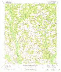
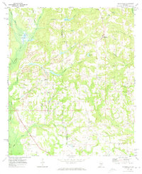
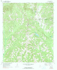
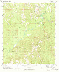
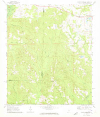
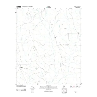
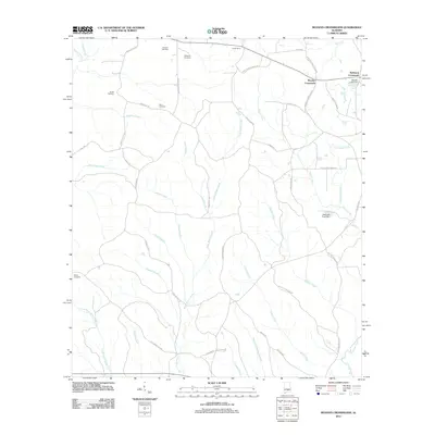
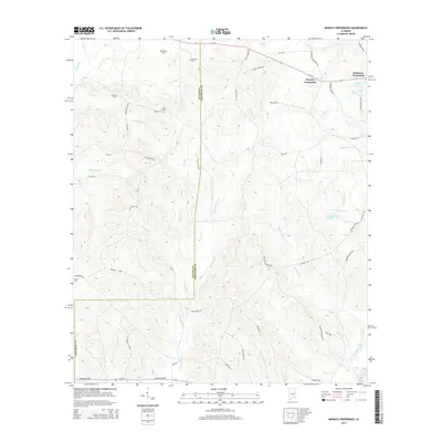
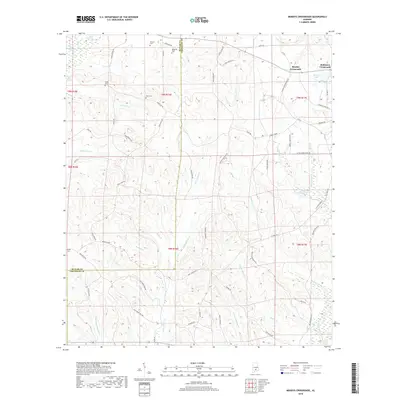
Patsaliga Creek and Olustee Creek define the drainage of this rural landscape where the boundaries of Montgomery, Crenshaw, and Pike counties converge. The terrain is a network of small family-named watercourses like Weaver Mill Creek and Fannin Mill Creek, suggesting the historical importance of small-scale milling in these communities. Scattered settlements such as Grady, Helicon, and Shady Grove are connected by a dense web of secondary roads like Smiley Ferry Rd and Ramer Grady Rd. Genealogists will find significant value in the documentation of family burial grounds, including Fannin Cem, Garner Cem, and Carter Cem, which are preserved alongside local landmarks like Collier Hill and Carter Hill. The proximity of Vinson Ponds and various smaller basins like Mays Pond and Petrey Pond illustrates the persistent role of water management in this agricultural region.
Find a feature on this map
77 named features on this map. Tap any name to fly to it.
Don’t see what you’re looking for? This feature index may not catch every label — zoom into the map to look around manually.
Map Details
Editions of this 2024 Grady Map
This is the sole edition of this map. No revisions or reprints were ever made.
Historical Maps of Taylor Through Time
48 maps found
1968 Bullock
Crenshaw County, AL
1968 Grady
Crenshaw County, AL
1971 Danielsville
Crenshaw County, AL
1971 Fullers Crossroads
Crenshaw County, AL
1971 Honoraville
Crenshaw County, AL
1971 Lapine
Crenshaw County, AL
1971 Leon
Crenshaw County, AL
1971 Moodys Crossroads
Crenshaw County, AL
2011 Bullock
Crenshaw County, AL
2011 Danielsville
Crenshaw County, AL
2011 Fullers Crossroads
Crenshaw County, AL
2011 Grady
Crenshaw County, AL
2011 Honoraville
Crenshaw County, AL
2011 Lapine
Crenshaw County, AL
2011 Leon
Crenshaw County, AL
2011 Moodys Crossroads
Crenshaw County, AL
2014 Bullock
Crenshaw County, AL
2014 Danielsville
Crenshaw County, AL
2014 Fullers Crossroads
Crenshaw County, AL
2014 Grady
Crenshaw County, AL
2014 Honoraville
Crenshaw County, AL
2014 Lapine
Crenshaw County, AL
2014 Leon
Crenshaw County, AL
2014 Moodys Crossroads
Crenshaw County, AL
2018 Bullock
Crenshaw County, AL
2018 Danielsville
Crenshaw County, AL
2018 Fullers Crossroads
Crenshaw County, AL
2018 Grady
Crenshaw County, AL
2018 Honoraville
Crenshaw County, AL
2018 Lapine
Crenshaw County, AL
2018 Leon
Crenshaw County, AL
2018 Moodys Crossroads
Crenshaw County, AL
2020 Bullock
Crenshaw County, AL
2020 Danielsville
Crenshaw County, AL
2020 Fullers Crossroads
Crenshaw County, AL
2020 Grady
Crenshaw County, AL
2020 Honoraville
Crenshaw County, AL
2020 Lapine
Crenshaw County, AL
2020 Leon
Crenshaw County, AL
2020 Moodys Crossroads
Crenshaw County, AL
2024 Bullock
Crenshaw County, AL
2024 Danielsville
Crenshaw County, AL
2024 Fullers Crossroads
Crenshaw County, AL
2024 Grady
Crenshaw County, AL
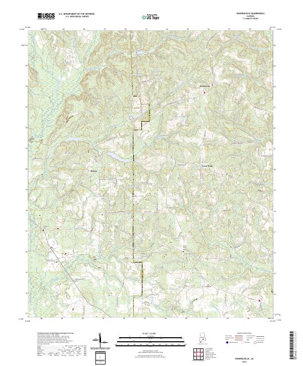
2024 Honoraville
Crenshaw County, AL
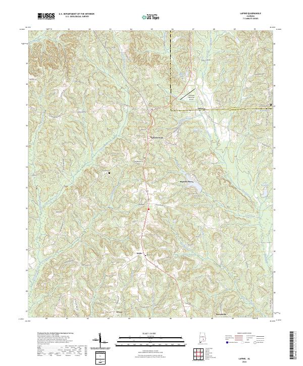
2024 Lapine
Crenshaw County, AL
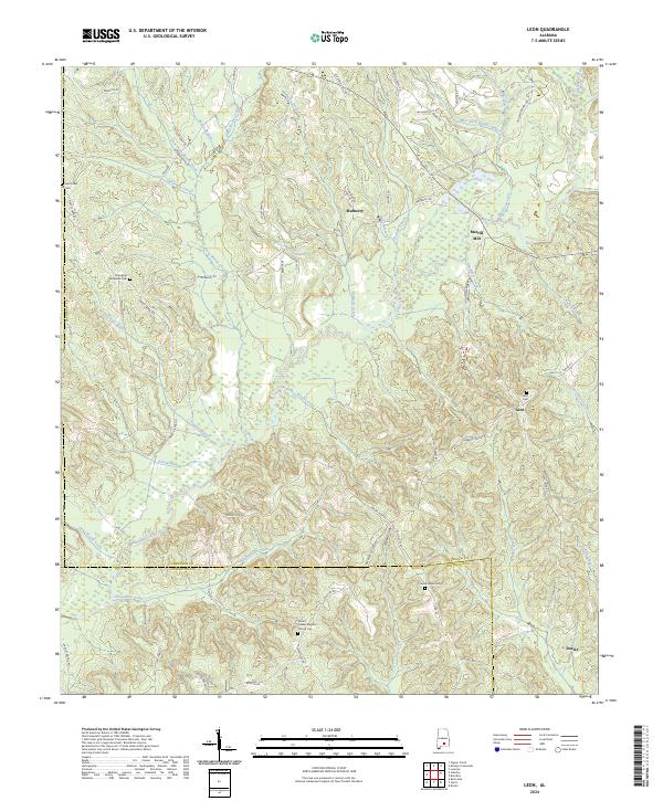
2024 Leon
Crenshaw County, AL
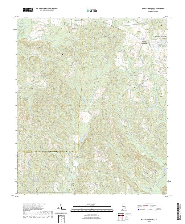
2024 Moodys Crossroads
Crenshaw County, AL