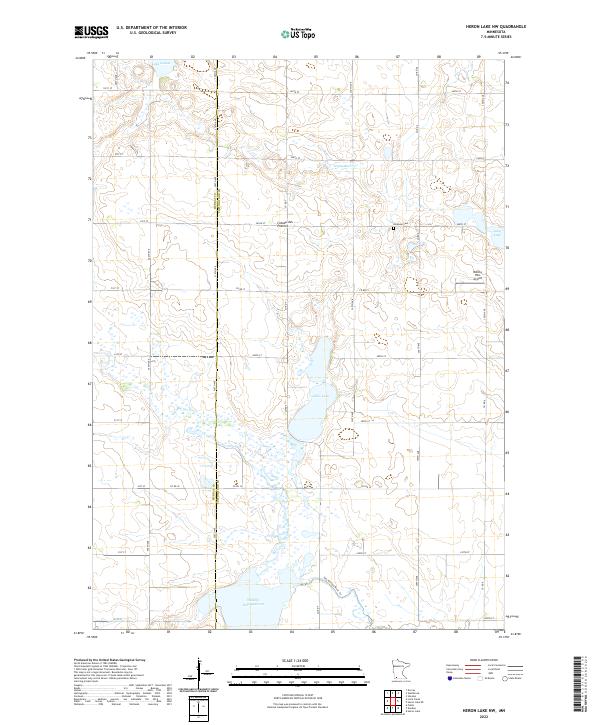
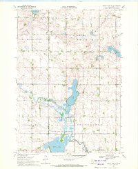
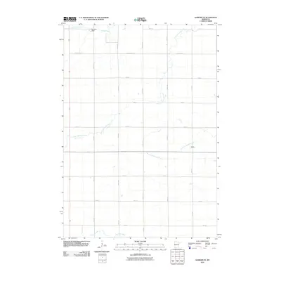
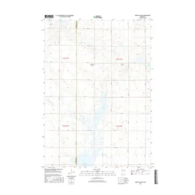
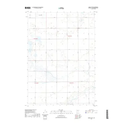
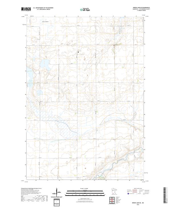
2022 Map of Heron Lake NW
USGS Topo · Published 2022About this map
The Coteau des Prairies plateau defines the geography of this rural landscape where the border of Murray and Cottonwood counties meets. The terrain is characterized by a high density of small wetlands and basins, with water features like Oaks Lake and a large Wildlife Impoundment anchoring the southern sections. Agriculture and conservation dominate the land use, evidenced by the strict grid of rural roads such as Co Rd 7 and 340th St that navigate around the numerous seasonal pools.
Find a feature on this map
45 named features on this map. Tap any name to fly to it.
Don’t see what you’re looking for? This feature index may not catch every label — zoom into the map to look around manually.
Map Details
Editions of this 2022 Heron Lake NW Map
This is the sole edition of this map. No revisions or reprints were ever made.
Historical Maps of Cottonwood County Through Time
24 maps found
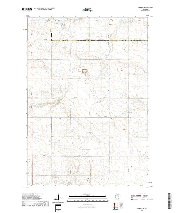
1967 Sanborn SE
Cottonwood County, MN
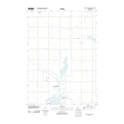
1970 Harder Lake
Cottonwood County, MN
1970 Heron Lake NE
Cottonwood County, MN
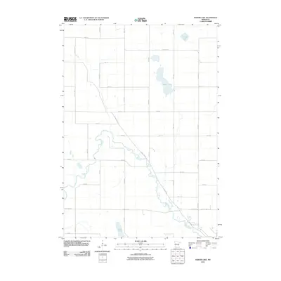
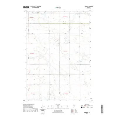
1970 Heron Lake NW
Cottonwood County, MN
2010 Harder Lake
Cottonwood County, MN
2010 Heron Lake NE
Cottonwood County, MN
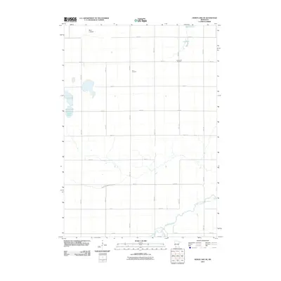
2010 Heron Lake NW
Cottonwood County, MN
2010 Sanborn SE
Cottonwood County, MN
2013 Harder Lake
Cottonwood County, MN
2013 Heron Lake NE
Cottonwood County, MN
2013 Heron Lake NW
Cottonwood County, MN
2013 Sanborn SE
Cottonwood County, MN
2016 Harder Lake
Cottonwood County, MN
2016 Heron Lake NE
Cottonwood County, MN
2016 Heron Lake NW
Cottonwood County, MN
2016 Sanborn SE
Cottonwood County, MN
2019 Harder Lake
Cottonwood County, MN
2019 Heron Lake NE
Cottonwood County, MN
2019 Heron Lake NW
Cottonwood County, MN
2019 Sanborn SE
Cottonwood County, MN
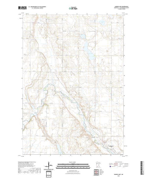
2022 Harder Lake
Cottonwood County, MN
2022 Heron Lake NE
Cottonwood County, MN
2022 Heron Lake NW
Cottonwood County, MN
2022 Sanborn SE
Cottonwood County, MN