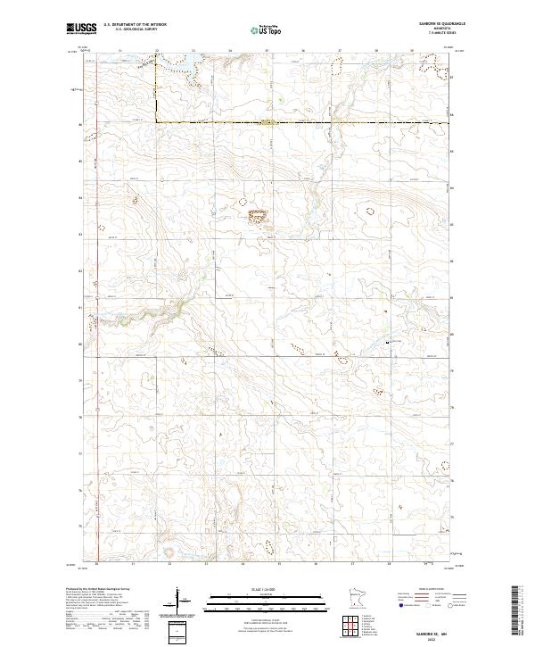
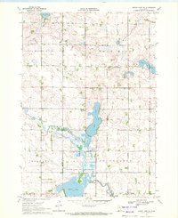
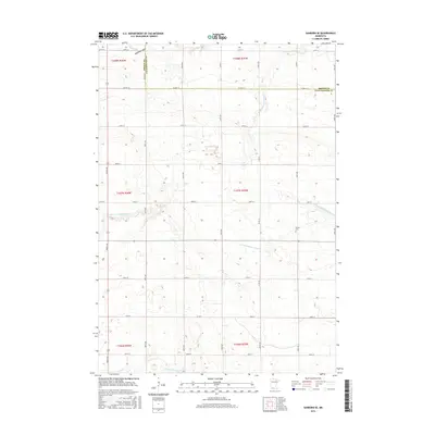
2022 Map of Sanborn SE
USGS Topo · Published 2022About this map
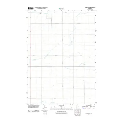
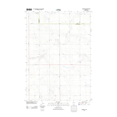
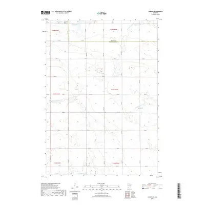
The agrarian landscape of the Brown and Cottonwood county line is defined by the winding paths of several regional waterways. This rural terrain includes the Little Cottonwood River and the N Fork Watonwan River, which carve through the grid-patterned fields of southwestern Minnesota. One of the most distinctive geological landmarks shown is Red Rock Dells, situated near the northern edge of the survey where Mound Cr meets the local road network. The map reveals the strictly organized township system, including t107n r35w and t107n r36w, with the Delton Cem serving as a key genealogical point of interest for researchers of the local farming community.
Find a feature on this map
27 named features on this map. Tap any name to fly to it.
Don’t see what you’re looking for? This feature index may not catch every label — zoom into the map to look around manually.
Map Details
Editions of this 2022 Sanborn SE Map
This is the sole edition of this map. No revisions or reprints were ever made.
Historical Maps of Brown County Through Time
24 maps found
1967 Sanborn SE
Cottonwood County, MN
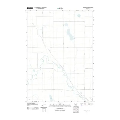
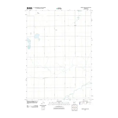
1970 Harder Lake
Cottonwood County, MN
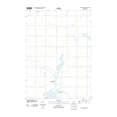
1970 Heron Lake NE
Cottonwood County, MN
1970 Heron Lake NW
Cottonwood County, MN
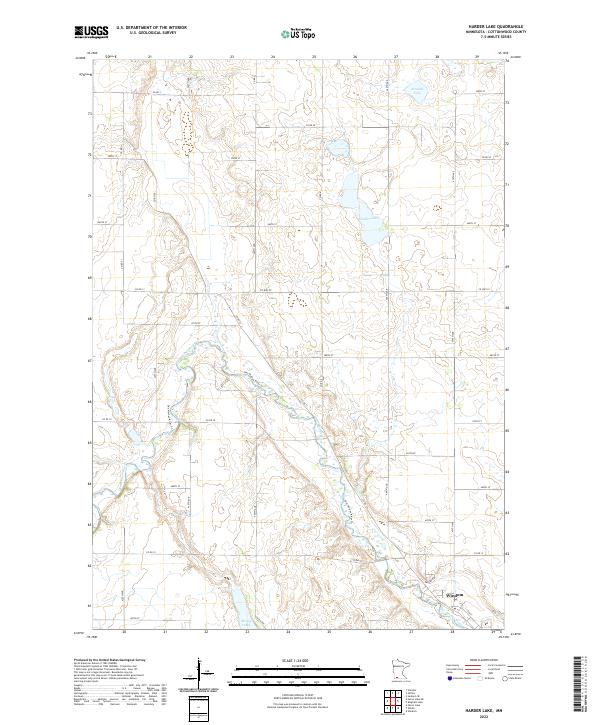
2010 Harder Lake
Cottonwood County, MN
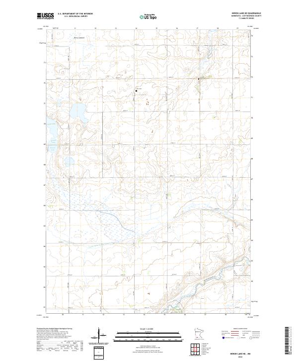
2010 Heron Lake NE
Cottonwood County, MN
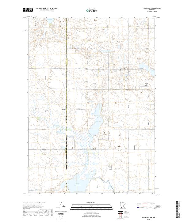
2010 Heron Lake NW
Cottonwood County, MN
2010 Sanborn SE
Cottonwood County, MN
2013 Harder Lake
Cottonwood County, MN
2013 Heron Lake NE
Cottonwood County, MN
2013 Heron Lake NW
Cottonwood County, MN
2013 Sanborn SE
Cottonwood County, MN
2016 Harder Lake
Cottonwood County, MN
2016 Heron Lake NE
Cottonwood County, MN
2016 Heron Lake NW
Cottonwood County, MN
2016 Sanborn SE
Cottonwood County, MN
2019 Harder Lake
Cottonwood County, MN
2019 Heron Lake NE
Cottonwood County, MN
2019 Heron Lake NW
Cottonwood County, MN
2019 Sanborn SE
Cottonwood County, MN
2022 Harder Lake
Cottonwood County, MN
2022 Heron Lake NE
Cottonwood County, MN
2022 Heron Lake NW
Cottonwood County, MN
2022 Sanborn SE
Cottonwood County, MN