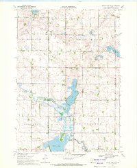
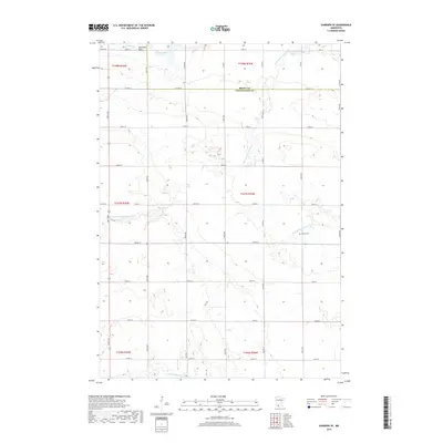
2022 Map of Harder Lake
USGS Topo · Published 2022About this map
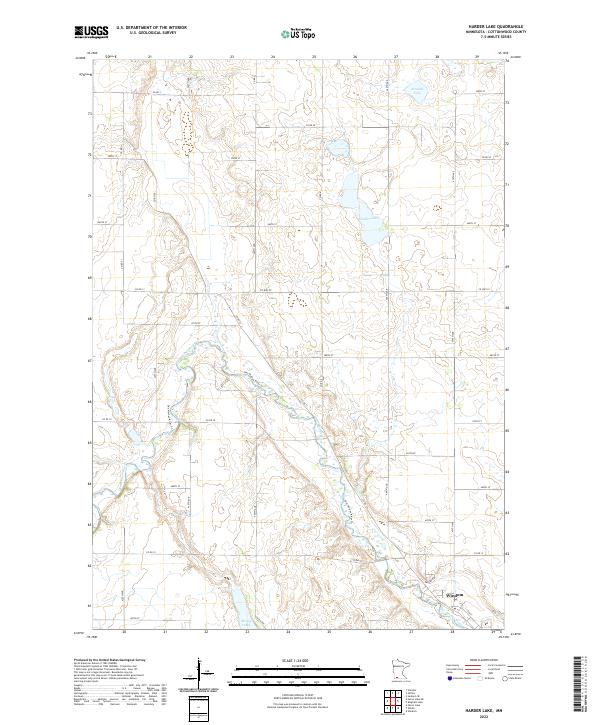
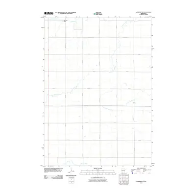
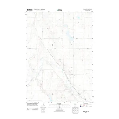
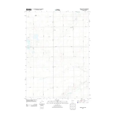
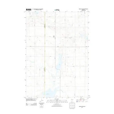
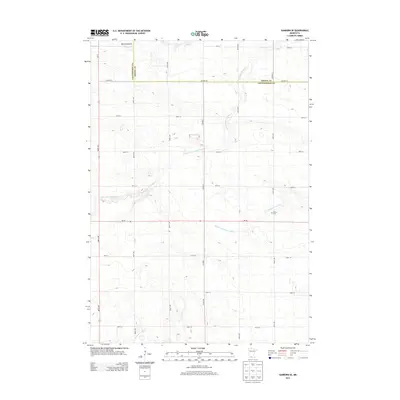
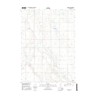
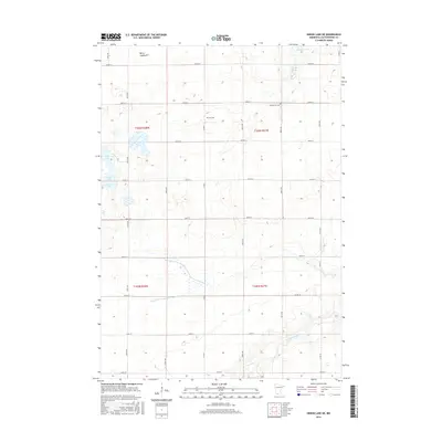
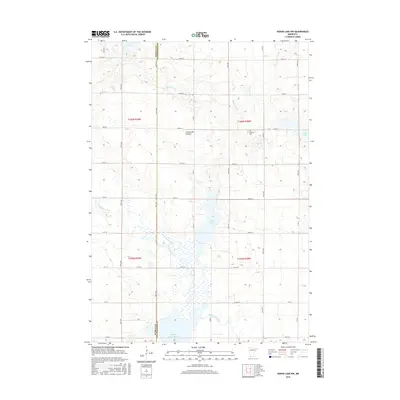
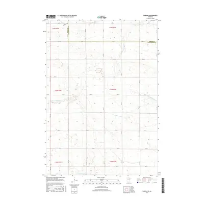
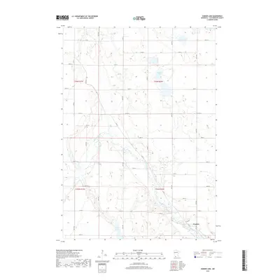
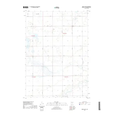
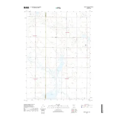
Windom sits at the southern edge of this Cottonwood County landscape, where the prairie begins to break toward the meandering course of the Des Moines River. This 2022 survey captures the agricultural grid typical of southwestern Minnesota, defined by an extensive network of county roads like Co Hwy 22 and Co Rd 13. The topography is punctuated by numerous glacial depressions and wetlands, most notably Harder Lake, Arnolds Lake, and the cluster known as String Lakes. These water bodies and the riparian corridor of the Des Moines River Trl provide the primary breaks in a landscape dominated by section lines and farmstead access. Genealogists and local historians can use the precise grid of 400-series avenues and numbered streets to locate specific historical properties and family lands across the townships of t106n r37w and t106n r36w.
Find a feature on this map
39 named features on this map. Tap any name to fly to it.
Don’t see what you’re looking for? This feature index may not catch every label — zoom into the map to look around manually.
Map Details
Editions of this 2022 Harder Lake Map
This is the sole edition of this map. No revisions or reprints were ever made.
Historical Maps of Windom Through Time
24 maps found
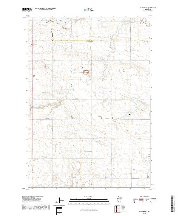
1967 Sanborn SE
Cottonwood County, MN
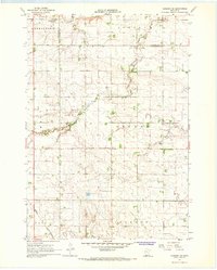
1970 Harder Lake
Cottonwood County, MN
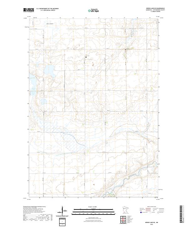
1970 Heron Lake NE
Cottonwood County, MN
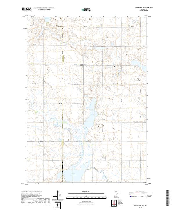
1970 Heron Lake NW
Cottonwood County, MN
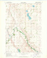
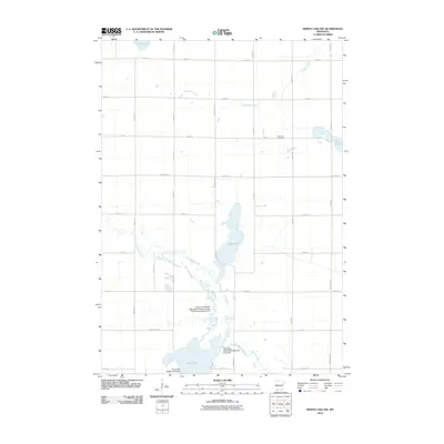
2010 Harder Lake
Cottonwood County, MN
2010 Heron Lake NE
Cottonwood County, MN
2010 Heron Lake NW
Cottonwood County, MN
2010 Sanborn SE
Cottonwood County, MN
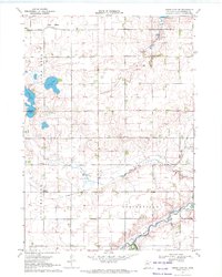
2013 Harder Lake
Cottonwood County, MN
2013 Heron Lake NE
Cottonwood County, MN
2013 Heron Lake NW
Cottonwood County, MN
2013 Sanborn SE
Cottonwood County, MN
2016 Harder Lake
Cottonwood County, MN
2016 Heron Lake NE
Cottonwood County, MN
2016 Heron Lake NW
Cottonwood County, MN
2016 Sanborn SE
Cottonwood County, MN
2019 Harder Lake
Cottonwood County, MN
2019 Heron Lake NE
Cottonwood County, MN
2019 Heron Lake NW
Cottonwood County, MN
2019 Sanborn SE
Cottonwood County, MN
2022 Harder Lake
Cottonwood County, MN
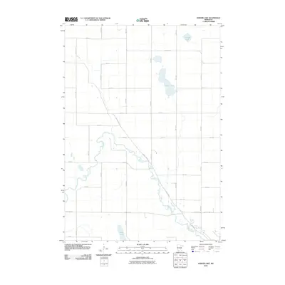
2022 Heron Lake NE
Cottonwood County, MN
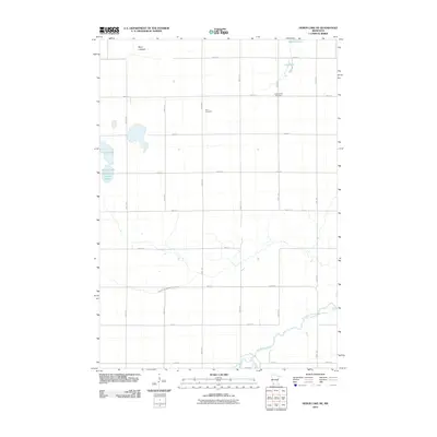
2022 Heron Lake NW
Cottonwood County, MN
2022 Sanborn SE
Cottonwood County, MN