
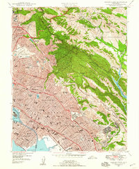
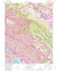
2021 Map of La Costa Valley
USGS Topo · Published 2021About this map
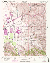
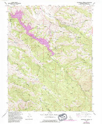
The San Antonio Reservoir dominates this portion of the Diablo Range, serving as a central node for regional water infrastructure. The map reveals the complex engineering of the area, featuring both the S Bay Aqueduct and the Hetch Hetchy Aqueduct as they traverse the high ridges and valleys south of Pleasanton. The landscape is defined by sharp elevation changes, from the floor of Sunol Valley to the heights of Maguire Peaks and Apperson Ridge.
Find a feature on this map
53 named features on this map. Tap any name to fly to it.
Don’t see what you’re looking for? This feature index may not catch every label — zoom into the map to look around manually.
Map Details
Editions of this 2021 La Costa Valley Map
This is the sole edition of this map. No revisions or reprints were ever made.
Historical Maps of Pleasanton Through Time
31 maps found
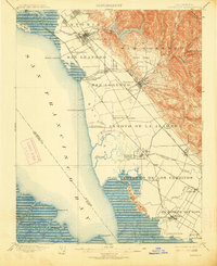
1899 Haywards
Alameda County, CA
1907 Tesla
Alameda County, CA

1916 Midway
Alameda County, CA

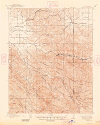
1942 Altamont
Alameda County, CA

1943 Tesla
Alameda County, CA
1947 Oakland East
Alameda County, CA

1949 Oakland East
Alameda County, CA
1949 Oakland West
Alameda County, CA
1953 Altamont
Alameda County, CA
1953 La Costa Valley
Alameda County, CA
1953 Midway
Alameda County, CA

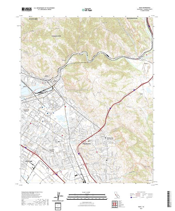
1953 Niles
Alameda County, CA
1956 Cedar Mtn
Alameda County, CA
1956 Mendenhall Springs
Alameda County, CA
1959 Oakland East
Alameda County, CA
1959 Oakland West
Alameda County, CA
1960 La Costa Valley
Alameda County, CA
1961 Niles
Alameda County, CA

1968 La Costa Valley
Alameda County, CA

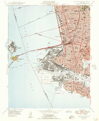
1993 Oakland West
Alameda County, CA

1996 La Costa Valley
Alameda County, CA

1996 Mendenhall Springs
Alameda County, CA

1997 Oakland East
Alameda County, CA
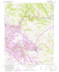
2021 Altamont
Alameda County, CA
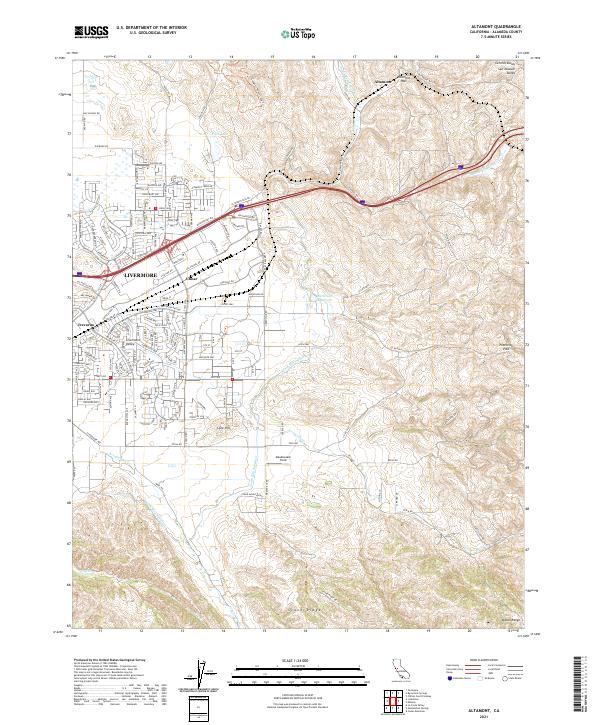
2021 Cedar Mountain
Alameda County, CA
2021 La Costa Valley
Alameda County, CA

2021 Mendenhall Springs
Alameda County, CA
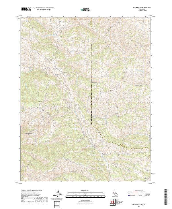
2021 Midway
Alameda County, CA
2021 Niles
Alameda County, CA
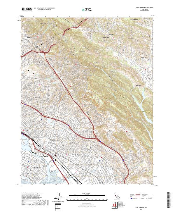
2021 Oakland East
Alameda County, CA

2021 Oakland West
Alameda County, CA