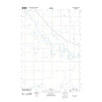
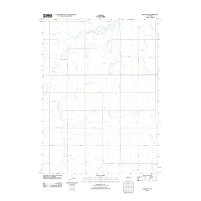
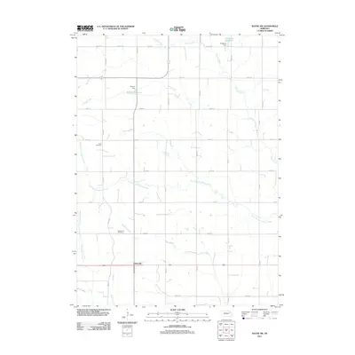
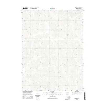
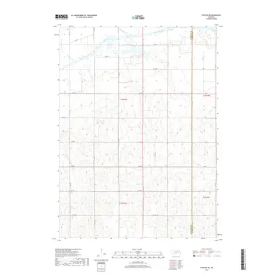
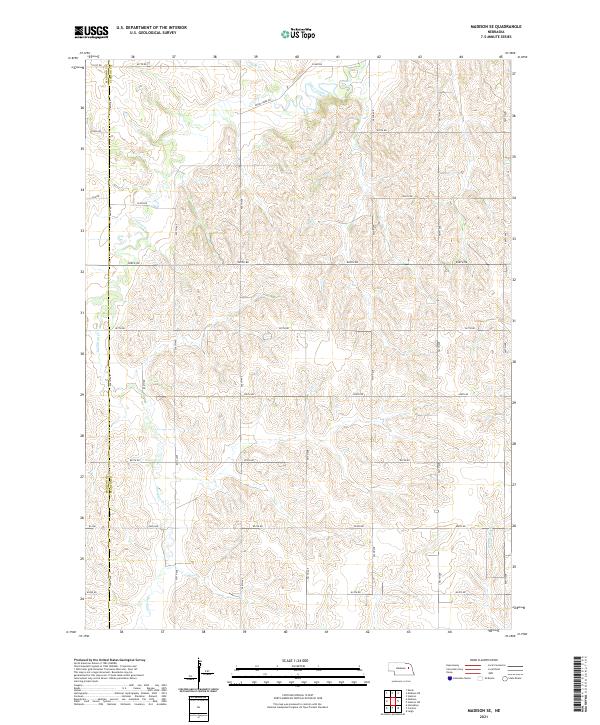
2021 Map of Madison NE
USGS Topo · Published 2021About this map
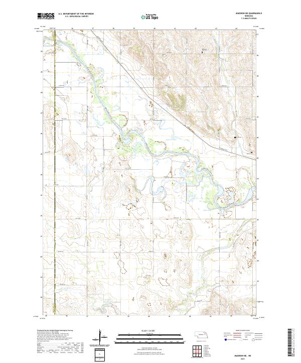
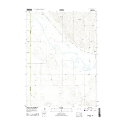
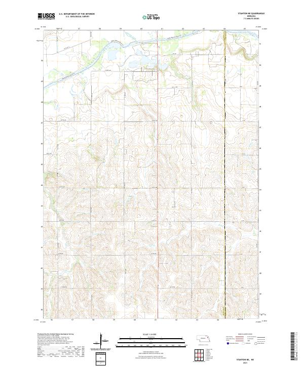
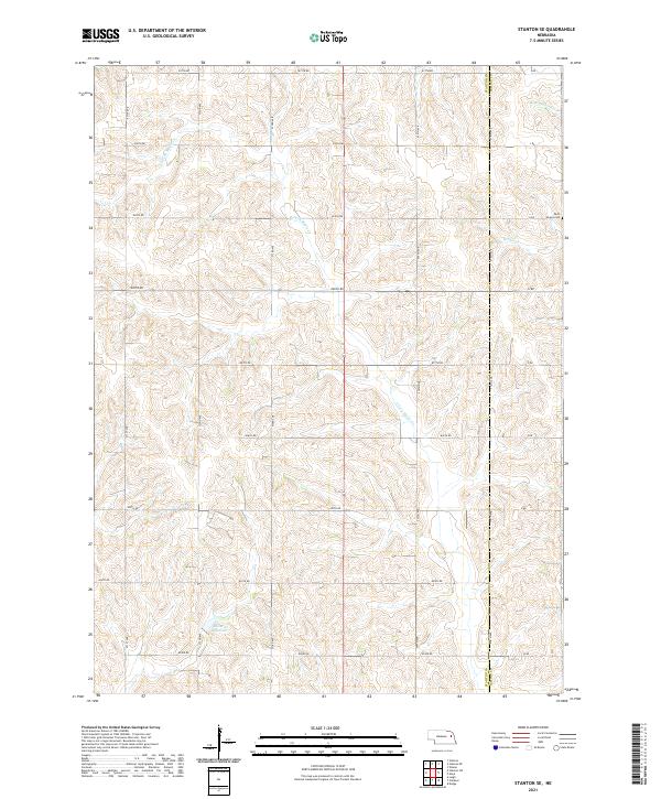
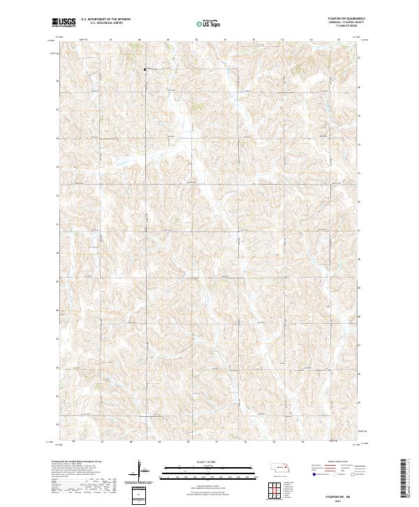
The Elkhorn River defines the central topography of this Stanton County landscape, its meandering course flanked by oxbow formations like Johnson Lake, Loves Lake, and Pillar Lake. The river's path is paralleled by the Upper Elkhorn River Trl and crossed by a network of rural roads such as River Rd and Veterans Ave, reflecting the region’s long-standing agricultural grid. For local historians, several family and community burial grounds are documented along the higher ground above the river valley, including Pleasant Run Cem in the north and both Belz Cem and Zilmer Cem to the east. Tributaries like Union Cr and Sand Cr feed into the broader drainage system, while the Greuson Reservoir and Lehman Lake mark significant water management and recreation points in this corner of Nebraska.
Find a feature on this map
30 named features on this map. Tap any name to fly to it.
Don’t see what you’re looking for? This feature index may not catch every label — zoom into the map to look around manually.
Map Details
Editions of this 2021 Madison NE Map
This is the sole edition of this map. No revisions or reprints were ever made.
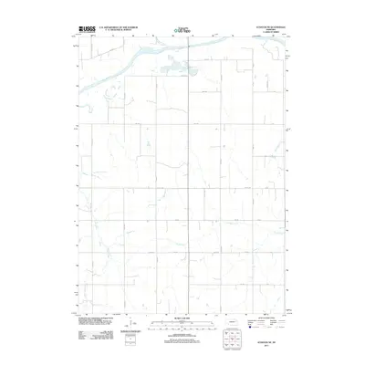
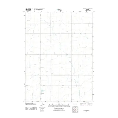
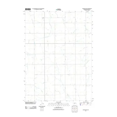
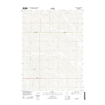
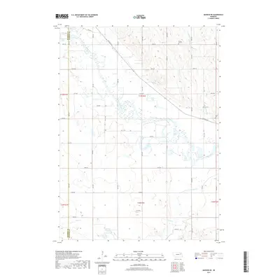
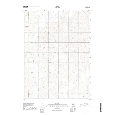
Historical Maps of Stanton County Through Time
30 maps found
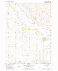
1963 Madison NE
Stanton County, NE
1963 Madison SE
Stanton County, NE
1963 Stanton NE
Stanton County, NE
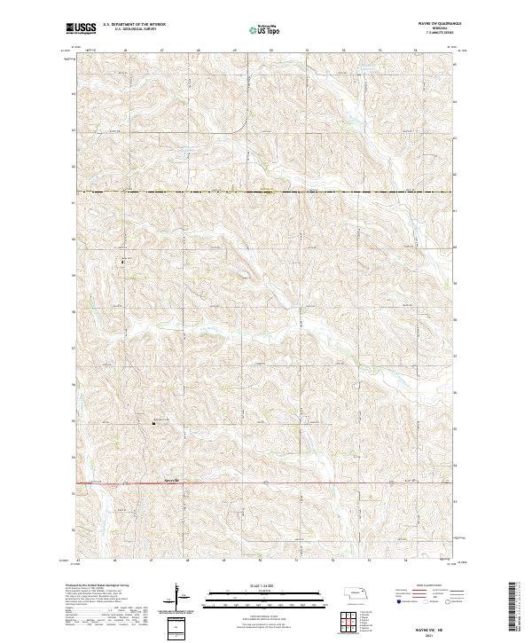
1963 Wayne SW
Stanton County, NE
1966 Stanton SE
Stanton County, NE
1966 Stanton SW
Stanton County, NE
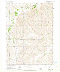
2011 Madison NE
Stanton County, NE
2011 Madison SE
Stanton County, NE
2011 Stanton NE
Stanton County, NE
2011 Stanton SE
Stanton County, NE
2011 Stanton SW
Stanton County, NE
2011 Wayne SW
Stanton County, NE
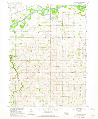
2014 Madison NE
Stanton County, NE
2014 Madison SE
Stanton County, NE

2014 Stanton NE
Stanton County, NE
2014 Stanton SE
Stanton County, NE
2014 Stanton SW
Stanton County, NE
2014 Wayne SW
Stanton County, NE
2017 Madison NE
Stanton County, NE
2017 Madison SE
Stanton County, NE
2017 Stanton NE
Stanton County, NE
2017 Stanton SE
Stanton County, NE
2017 Stanton SW
Stanton County, NE
2017 Wayne SW
Stanton County, NE
2021 Madison NE
Stanton County, NE
2021 Madison SE
Stanton County, NE
2021 Stanton NE
Stanton County, NE
2021 Stanton SE
Stanton County, NE
2021 Stanton SW
Stanton County, NE
2021 Wayne SW
Stanton County, NE