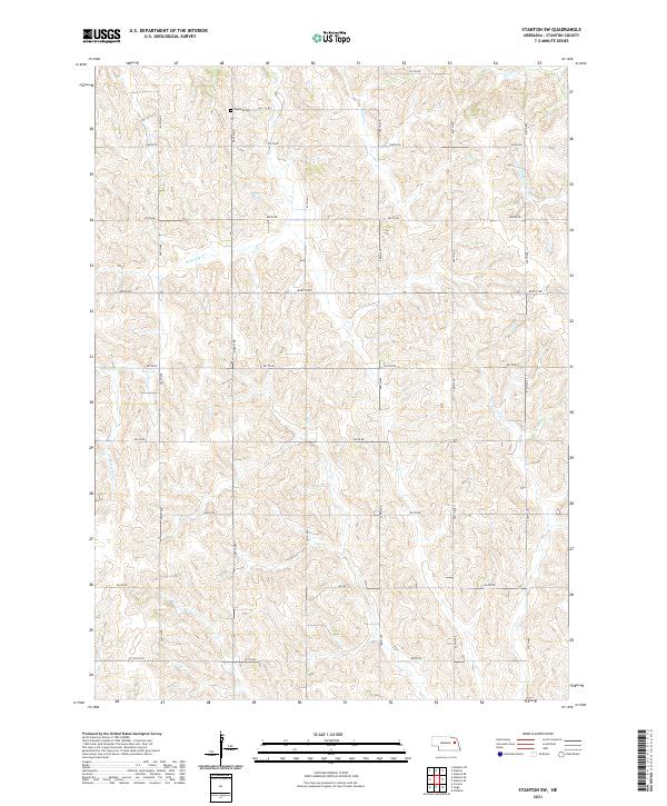
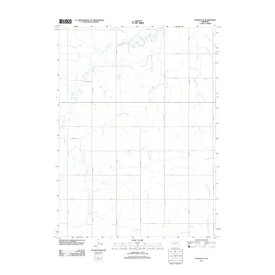
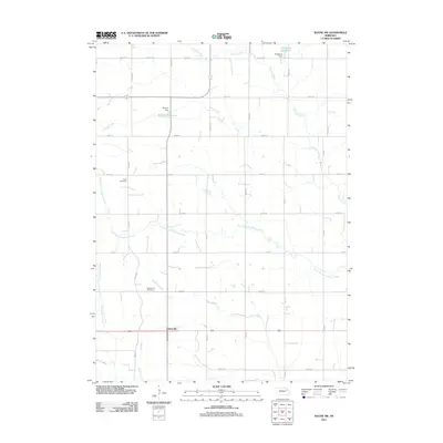
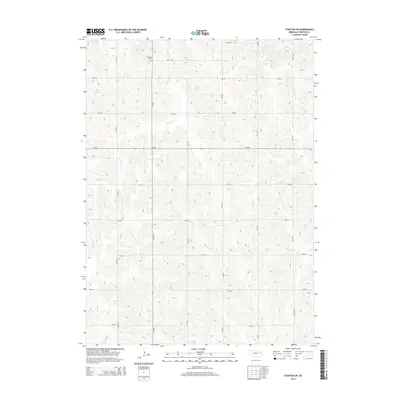
2021 Map of Stanton SW
USGS Topo · Published 2021About this map
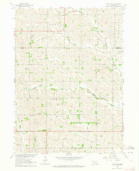
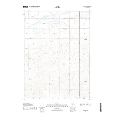
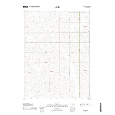
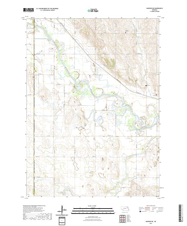
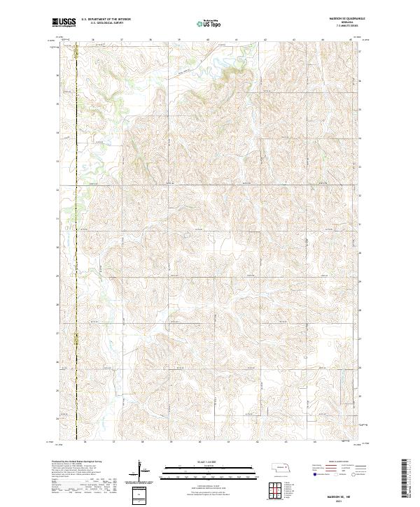
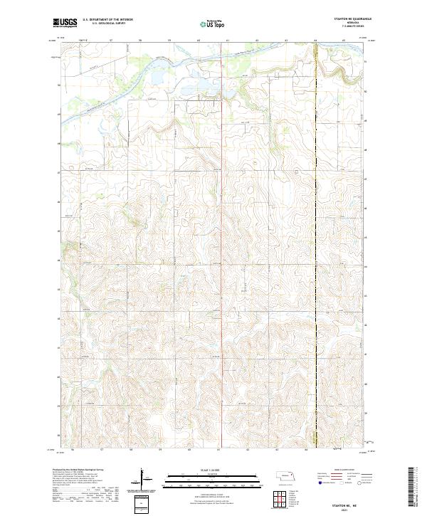
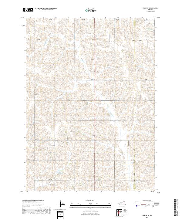
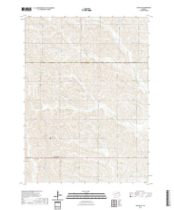
Erychleb Cem stands as a quiet focal point in the northern hills of Stanton County, highlighting the rural heritage of this northeastern Nebraska landscape. The terrain is defined by the winding drainages of Butterfly Cr and its tributary, E Fork Butterfly Cr, which carve through the agricultural uplands. A rigorous grid of section lines and gravel roads, including 830th Rd and 567th Ave, organizes the territory into the traditional Township and Range system. Other watercourses like Wells Cr and Cedar Cr indicate the importance of natural drainage in this dissected prairie environment. This document reflects the enduring rural character of the region, where the layout of section-line roads remains the primary architectural framework for the land.
Find a feature on this map
27 named features on this map. Tap any name to fly to it.
Don’t see what you’re looking for? This feature index may not catch every label — zoom into the map to look around manually.
Map Details
Editions of this 2021 Stanton SW Map
This is the sole edition of this map. No revisions or reprints were ever made.
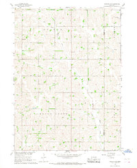
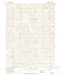
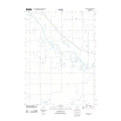
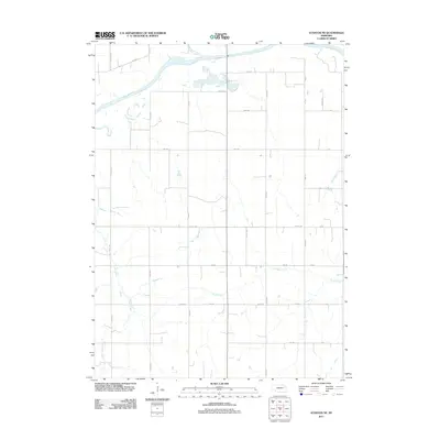
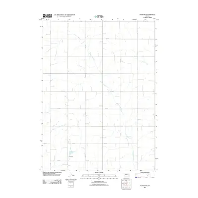
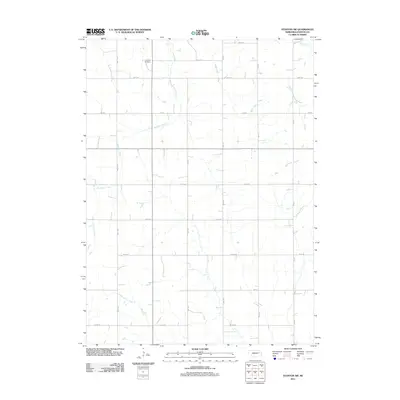
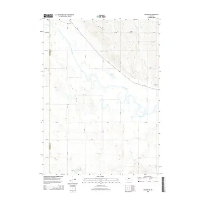
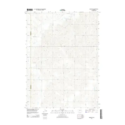
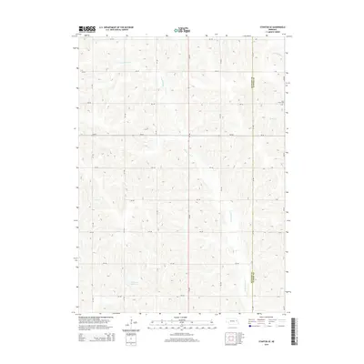
Historical Maps of Stanton County Through Time
30 maps found
1963 Madison NE
Stanton County, NE
1963 Madison SE
Stanton County, NE
1963 Stanton NE
Stanton County, NE
1963 Wayne SW
Stanton County, NE
1966 Stanton SE
Stanton County, NE
1966 Stanton SW
Stanton County, NE
2011 Madison NE
Stanton County, NE
2011 Madison SE
Stanton County, NE
2011 Stanton NE
Stanton County, NE
2011 Stanton SE
Stanton County, NE
2011 Stanton SW
Stanton County, NE
2011 Wayne SW
Stanton County, NE
2014 Madison NE
Stanton County, NE
2014 Madison SE
Stanton County, NE

2014 Stanton NE
Stanton County, NE
2014 Stanton SE
Stanton County, NE
2014 Stanton SW
Stanton County, NE
2014 Wayne SW
Stanton County, NE
2017 Madison NE
Stanton County, NE
2017 Madison SE
Stanton County, NE
2017 Stanton NE
Stanton County, NE
2017 Stanton SE
Stanton County, NE
2017 Stanton SW
Stanton County, NE
2017 Wayne SW
Stanton County, NE
2021 Madison NE
Stanton County, NE
2021 Madison SE
Stanton County, NE
2021 Stanton NE
Stanton County, NE
2021 Stanton SE
Stanton County, NE
2021 Stanton SW
Stanton County, NE
2021 Wayne SW
Stanton County, NE