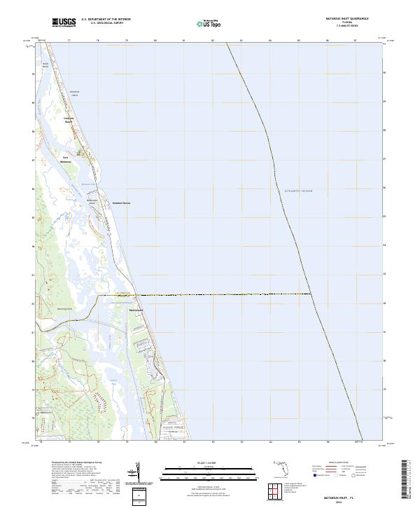
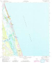
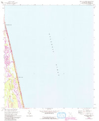
2024 Map of Matanzas Inlet
USGS Topo · Published 2024About this map
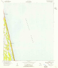
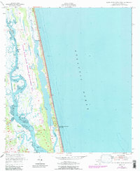
Fort Matanzas stands as the sentinel of the barrier islands, guarding the narrow Matanzas Inlet where the Matanzas River meets the Atlantic Ocean. This coastal landscape is defined by its long-standing maritime heritage and the complex network of waterways that separate Anastasia Island and Rattlesnake Island from the mainland. The area showcases a transition from the established community at Crescent Beach to the research and tourism hub of Marineland at the St. Johns and Flagler county line.
Find a feature on this map
48 named features on this map. Tap any name to fly to it.
Don’t see what you’re looking for? This feature index may not catch every label — zoom into the map to look around manually.
Map Details
Editions of this 2024 Matanzas Inlet Map
This is the sole edition of this map. No revisions or reprints were ever made.
Historical Maps of Marineland Through Time
31 maps found

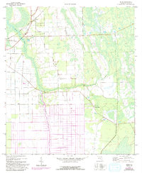
1937 Bakersville
St. Johns County, FL

1937 Elkton
St. Johns County, FL
1949 Picolata
St. Johns County, FL
1949 Riverdale
St. Johns County, FL
1952 Durbin
St. Johns County, FL
1952 Mickler Landing
St. Johns County, FL
1952 Orangedale
St. Johns County, FL
1952 South Ponte Vedra Beach
St. Johns County, FL
1956 Dinner Island NE
St. Johns County, FL
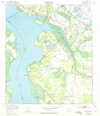
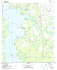
1956 Matanzas Inlet
St. Johns County, FL
1964 Mickler Landing
St. Johns County, FL
1970 Bakersville
St. Johns County, FL
1970 Elkton
St. Johns County, FL
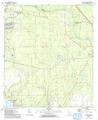
1970 Spuds
St. Johns County, FL
1991 Picolata
St. Johns County, FL

1991 Riverdale
St. Johns County, FL
1993 Orangedale
St. Johns County, FL
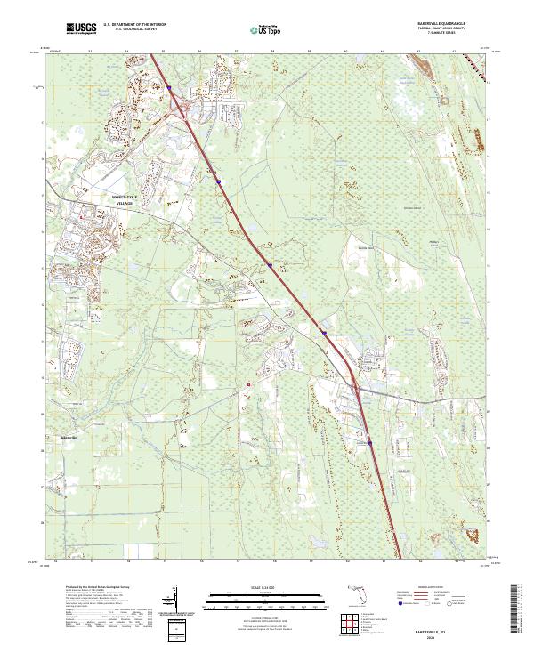
2024 Bakersville
St. Johns County, FL
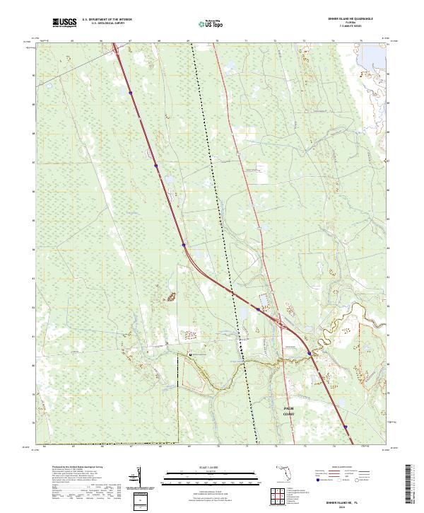
2024 Dinner Island NE
St. Johns County, FL
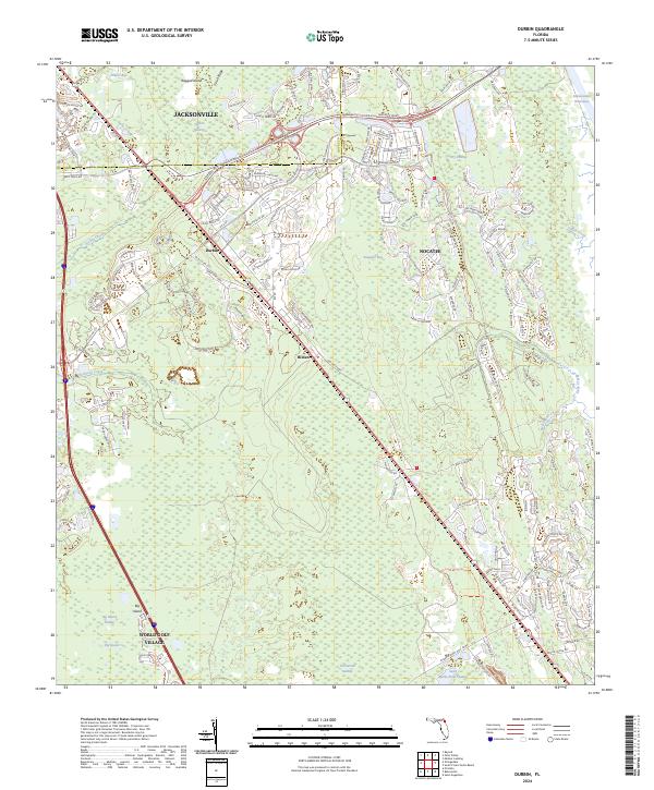
2024 Durbin
St. Johns County, FL
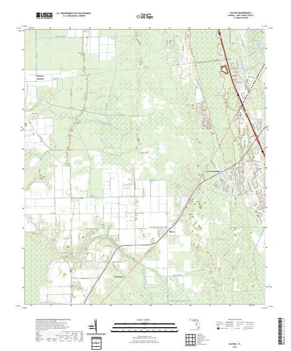
2024 Elkton
St. Johns County, FL
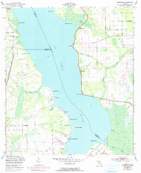
2024 Matanzas Inlet
St. Johns County, FL
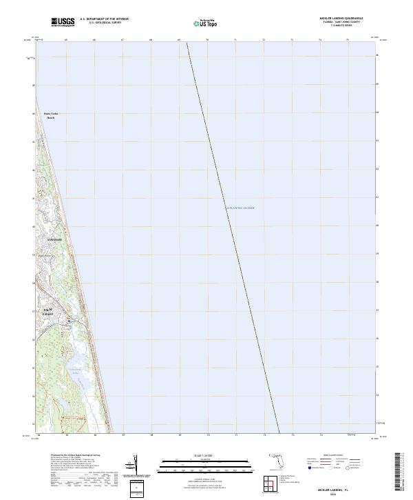
2024 Mickler Landing
St. Johns County, FL
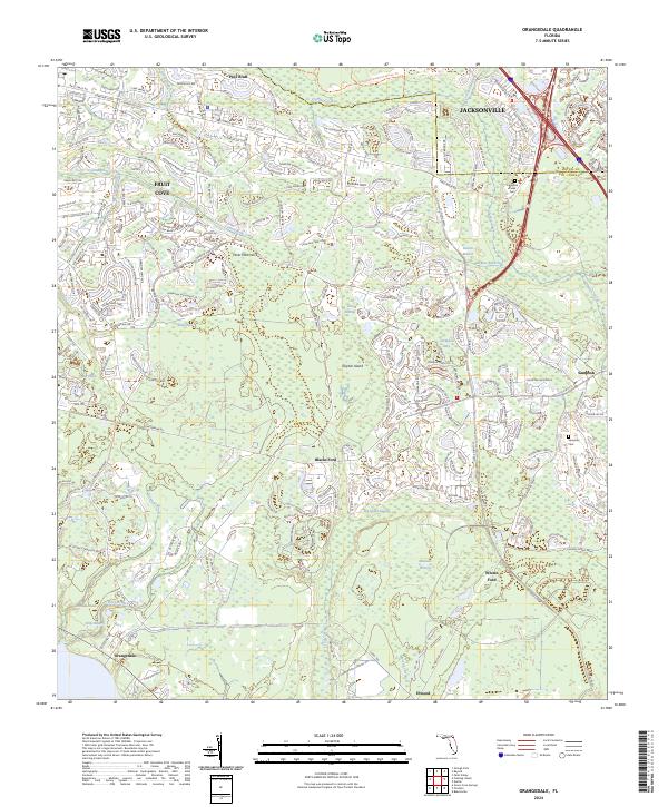
2024 Orangedale
St. Johns County, FL
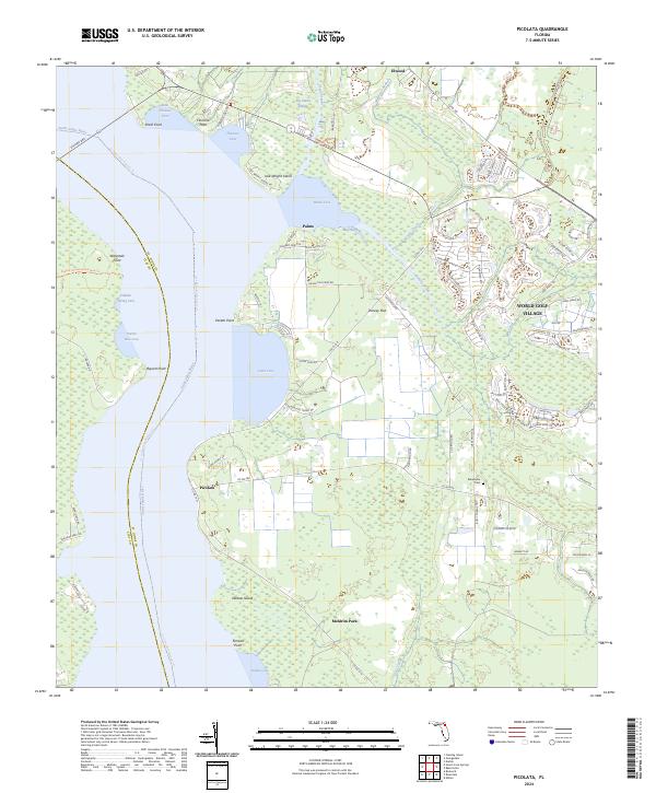
2024 Picolata
St. Johns County, FL
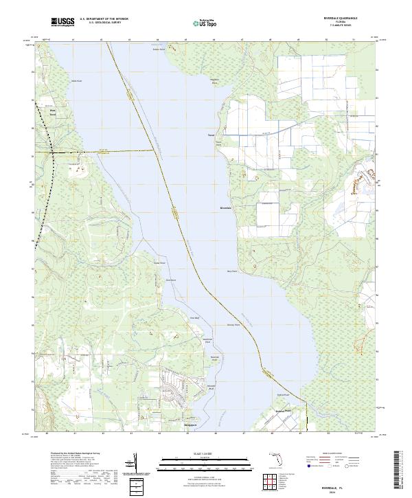
2024 Riverdale
St. Johns County, FL
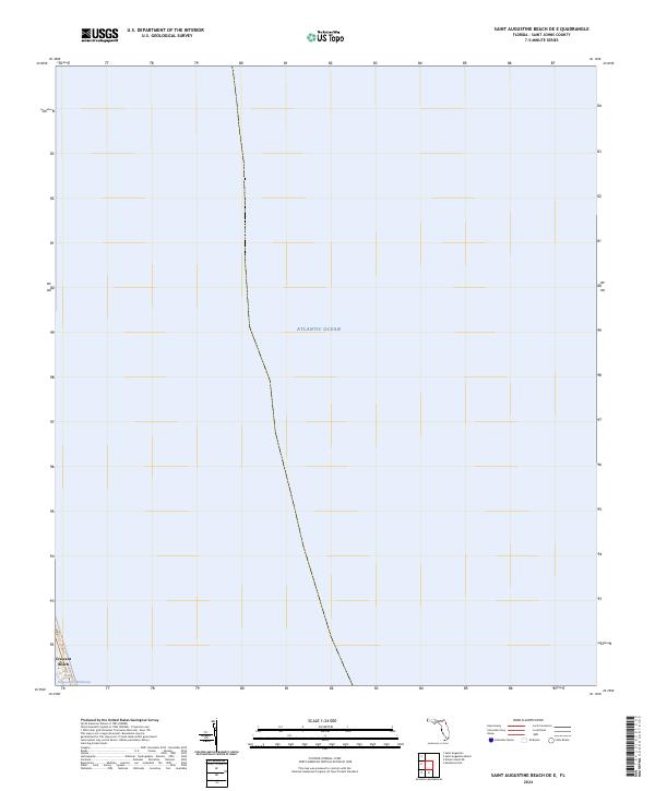
2024 Saint Augustine Beach OE E
St. Johns County, FL
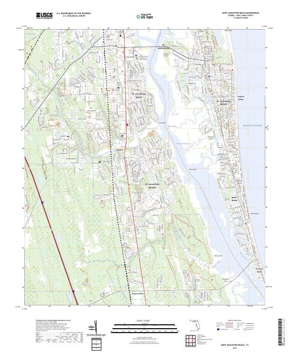
2024 Saint Augustine Beach
St. Johns County, FL
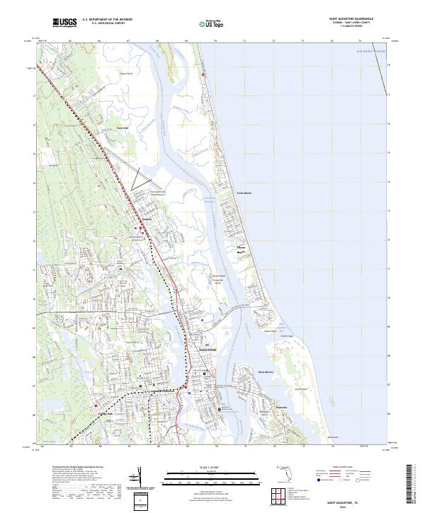
2024 Saint Augustine
St. Johns County, FL
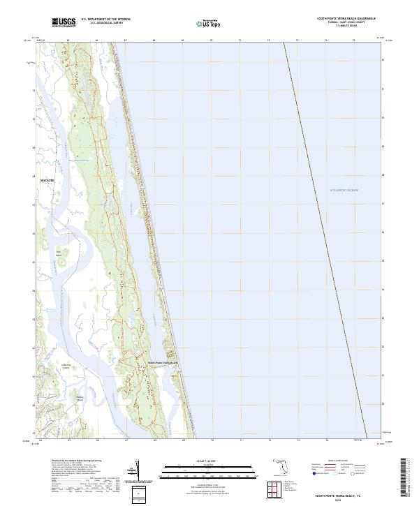
2024 South Ponte Vedra Beach
St. Johns County, FL
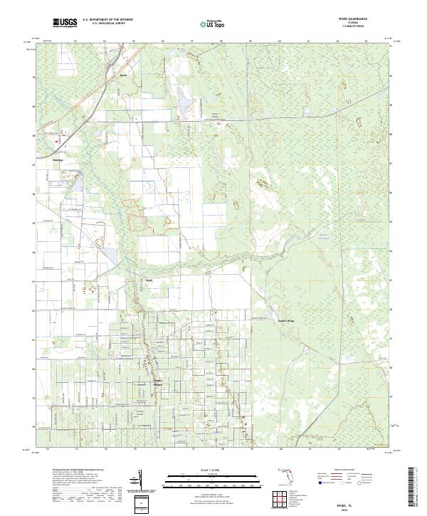
2024 Spuds
St. Johns County, FL