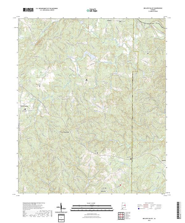
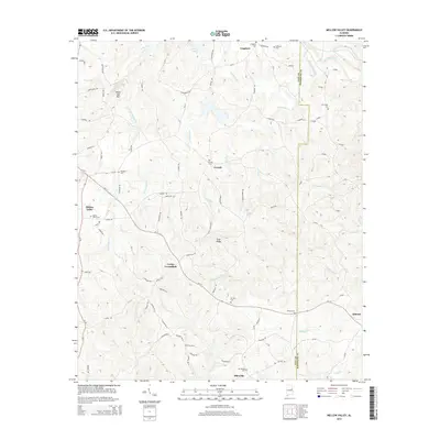
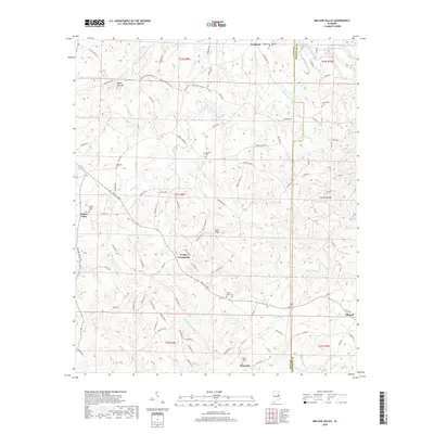
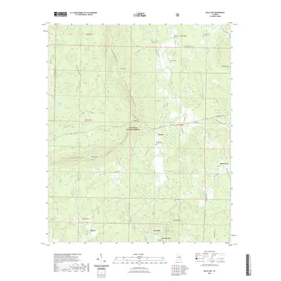
2024 Map of Mellow Valley
USGS Topo · Published 2024About this map
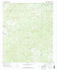
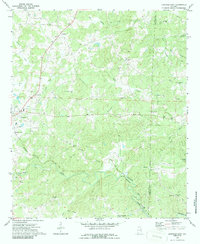
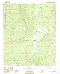
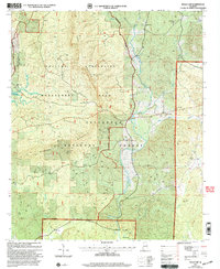
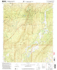
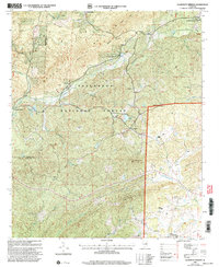
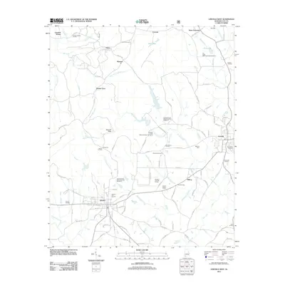
Wesobulga Creek and its many tributaries, including Dinner Creek and Turkeypen Creek, carve through the rolling uplands of Clay and Randolph Counties. This modern survey illustrates a rural landscape defined by historic family-named burial grounds and scattered small settlements. Mellow Valley serves as a local hub, anchored by the Mellow Valley Baptist Church Cem, while smaller communities like Cooley Crossroads, Almond, and Sikesville are connected by a network of county and logging roads. The terrain is dominated by the White Oak Mountain Ridge and Evan Ridge, which separate the various drainage basins. For genealogists, the map is particularly detailed regarding local cemeteries, such as the McDaniel Cem and Corinth Cem, which are often the last standing indicators of earlier family farmsteads in this part of Alabama.
Find a feature on this map
103 named features on this map. Tap any name to fly to it.
Don’t see what you’re looking for? This feature index may not catch every label — zoom into the map to look around manually.
Map Details
Editions of this 2024 Mellow Valley Map
This is the sole edition of this map. No revisions or reprints were ever made.
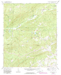
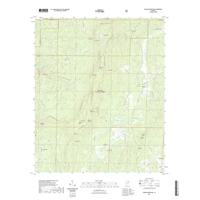
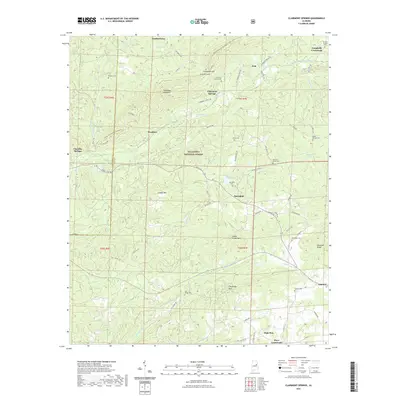
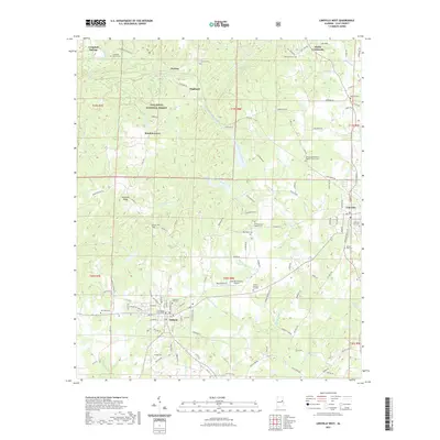
Historical Maps of Mellow Valley Through Time
47 maps found

1969 Cheaha Mountain
Clay County, AL
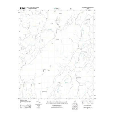
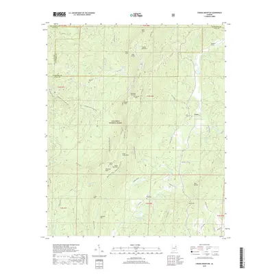
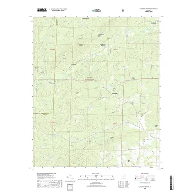
1969 Clairmont Springs
Clay County, AL
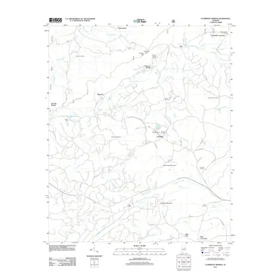
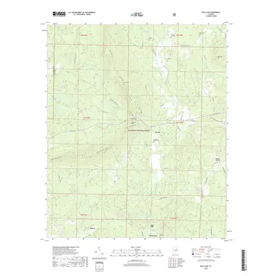
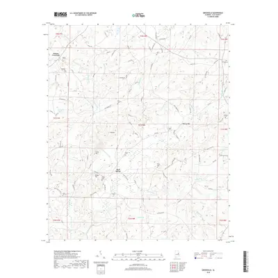
1969 Gibsonville
Clay County, AL
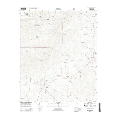
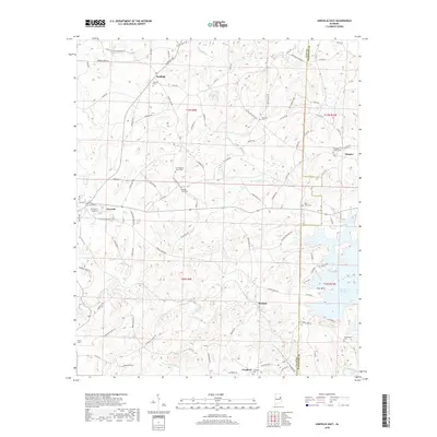
1969 Lineville West
Clay County, AL
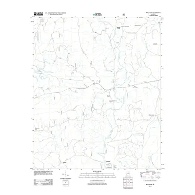
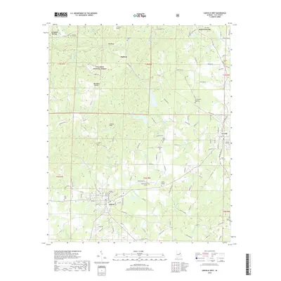
1969 Mellow Valley
Clay County, AL
1970 Lineville East
Clay County, AL
1975 Cheaha Mountain
Clay County, AL
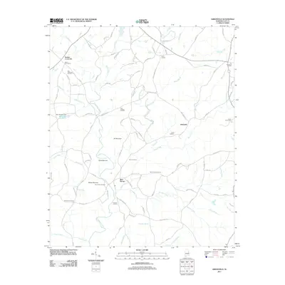
1975 Goodwater NE
Clay County, AL
1987 Bulls Gap
Clay County, AL
2001 Bulls Gap
Clay County, AL
2001 Cheaha Mountain
Clay County, AL
2001 Clairmont Springs
Clay County, AL
2011 Bulls Gap
Clay County, AL
2011 Cheaha Mountain
Clay County, AL
2011 Clairmont Springs
Clay County, AL
2011 Gibsonville
Clay County, AL
2011 Lineville East
Clay County, AL
2011 Lineville West
Clay County, AL
2011 Mellow Valley
Clay County, AL
2014 Bulls Gap
Clay County, AL
2014 Cheaha Mountain
Clay County, AL
2014 Clairmont Springs
Clay County, AL
2014 Gibsonville
Clay County, AL
2014 Lineville East
Clay County, AL
2014 Lineville West
Clay County, AL
2014 Mellow Valley
Clay County, AL
2018 Bulls Gap
Clay County, AL
2018 Cheaha Mountain
Clay County, AL
2018 Clairmont Springs
Clay County, AL
2018 Gibsonville
Clay County, AL
2018 Lineville East
Clay County, AL
2018 Lineville West
Clay County, AL
2018 Mellow Valley
Clay County, AL
2020 Gibsonville
Clay County, AL
2020 Lineville East
Clay County, AL
2020 Mellow Valley
Clay County, AL
2021 Bulls Gap
Clay County, AL
2021 Cheaha Mountain
Clay County, AL
2021 Clairmont Springs
Clay County, AL
2021 Lineville West
Clay County, AL
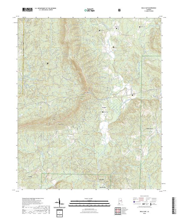
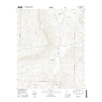
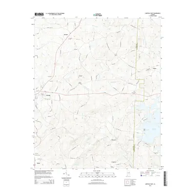
2024 Bulls Gap
Clay County, AL
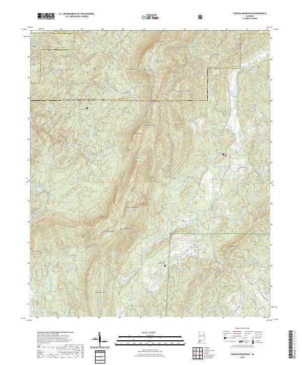
2024 Cheaha Mountain
Clay County, AL
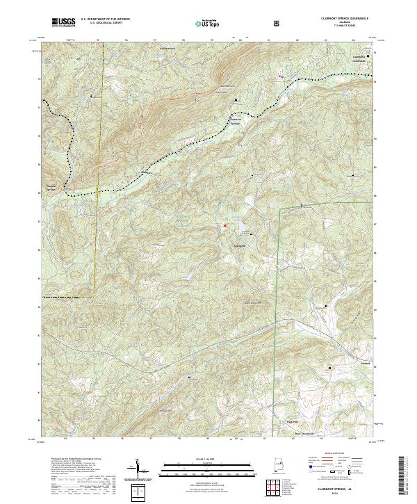
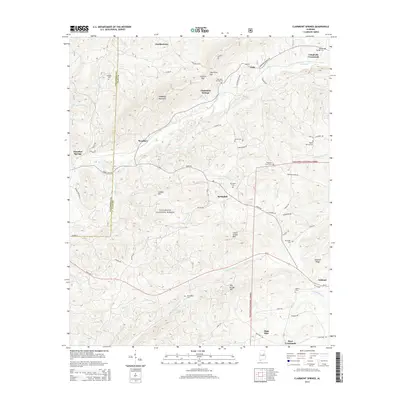
2024 Clairmont Springs
Clay County, AL
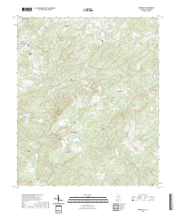
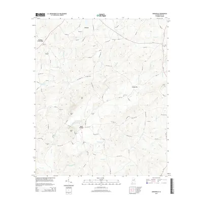
2024 Gibsonville
Clay County, AL
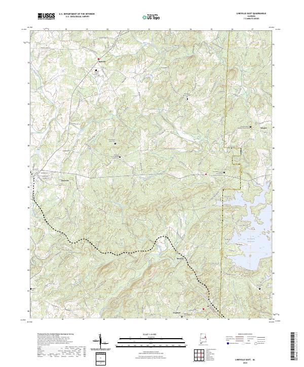
2024 Lineville East
Clay County, AL
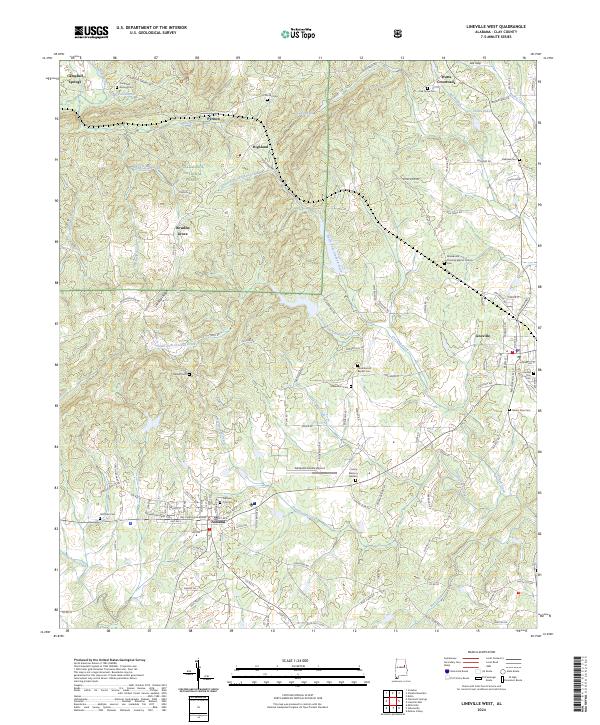
2024 Lineville West
Clay County, AL
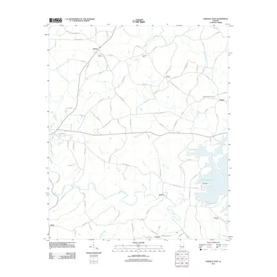
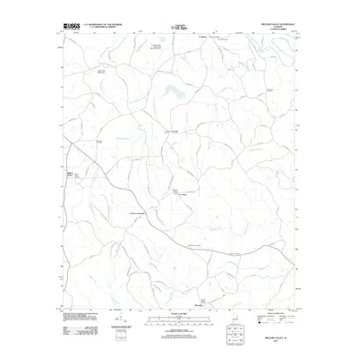
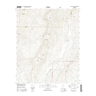
2024 Mellow Valley
Clay County, AL