2024 Map of Mooreton East
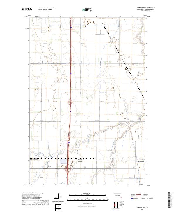
USGS Topo · Published 2024About this map
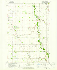
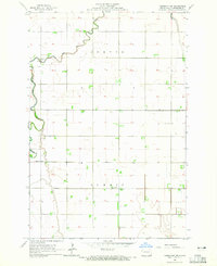
Antelope Creek and its meandering tributary, the South Branch Antelope Creek, define the drainage patterns of this Richland County landscape. The region is largely organized by a precise grid of rural roads, including Co Rd 12 and Co Rd 10, which service the agricultural tracts of the Red River Valley. In the southern portion of the quadrangle, the small community of Fairview Junction sits near an area of modern development along Industrial Dr, signaling a shift toward commercial activity in an otherwise rural setting.
Find a feature on this map
24 named features on this map. Tap any name to fly to it.
Don’t see what you’re looking for? This feature index may not catch every label — zoom into the map to look around manually.
Map Details
Editions of this 2024 Mooreton East Map
This is the sole edition of this map. No revisions or reprints were ever made.
Historical Maps of Mooreton Township Through Time
42 maps found
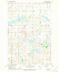
1959 Mooreton NW
Richland County, ND
1959 Wyndmere NE
Richland County, ND
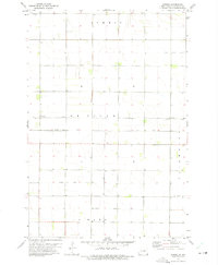
1960 Barrie
Richland County, ND
1960 Galchutt
Richland County, ND
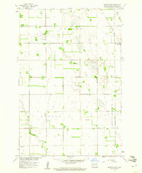
1960 Mooreton East
Richland County, ND
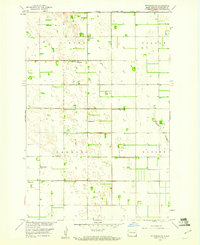
1960 Mooreton West
Richland County, ND
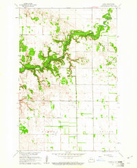
1960 Power
Richland County, ND
1960 Wyndmere NW
Richland County, ND
1960 Wyndmere SE
Richland County, ND
1964 Claire City NE
Richland County, ND
1964 Claire City NW
Richland County, ND
1964 Fairmount NW
Richland County, ND
1964 Hankinson SE
Richland County, ND
1964 Kreiser Lake
Richland County, ND
1964 Moselle
Richland County, ND
1964 Swan Lake
Richland County, ND
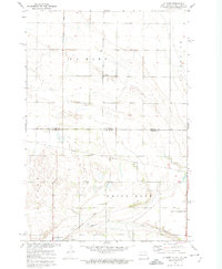
1972 La Mars
Richland County, ND
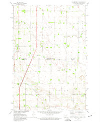
1972 New Effington NE
Richland County, ND
1972 New Effington NW
Richland County, ND
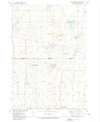
1972 Sonora
Richland County, ND
1998 Power
Richland County, ND
1998 Wyndmere NW
Richland County, ND
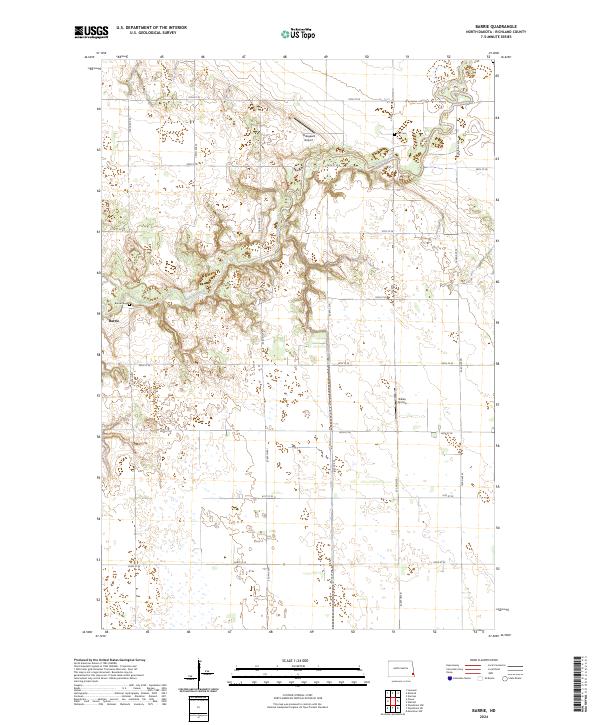
2024 Barrie
Richland County, ND
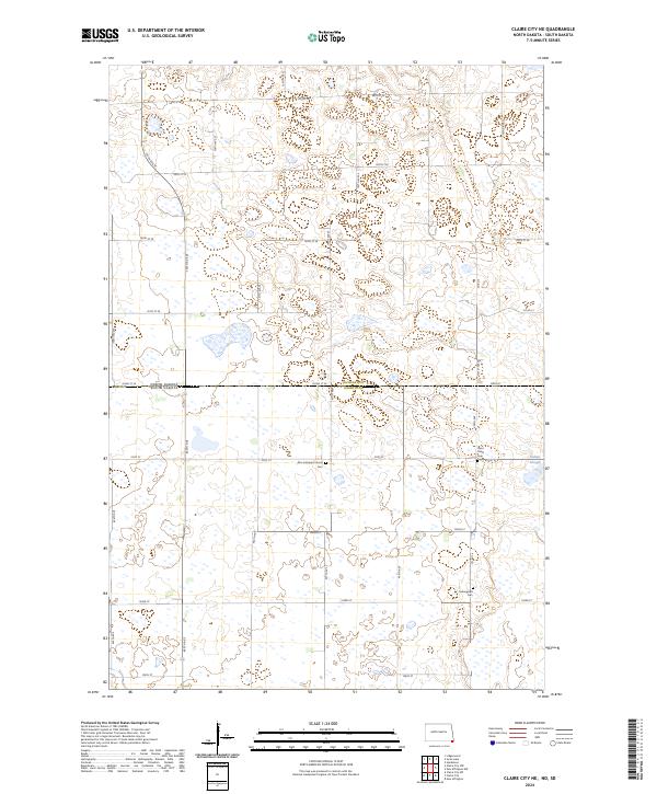
2024 Claire City NE
Richland County, ND
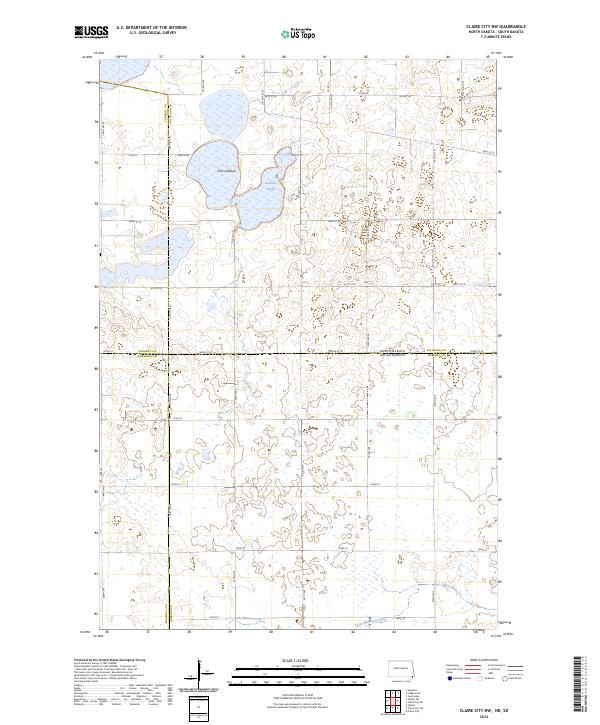
2024 Claire City NW
Richland County, ND
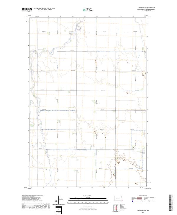
2024 Fairmount NW
Richland County, ND
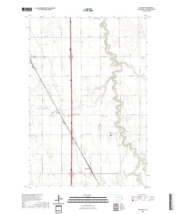
2024 Galchutt
Richland County, ND
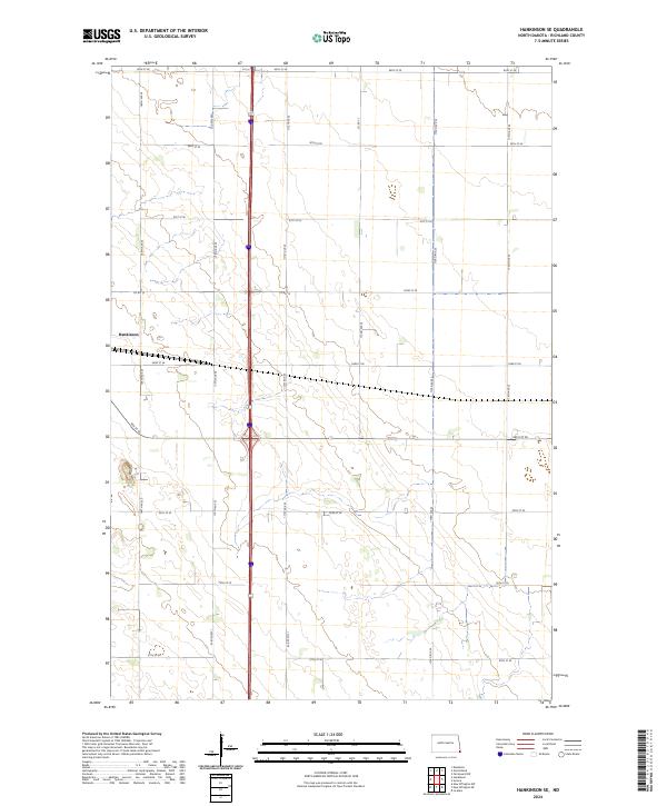
2024 Hankinson SE
Richland County, ND
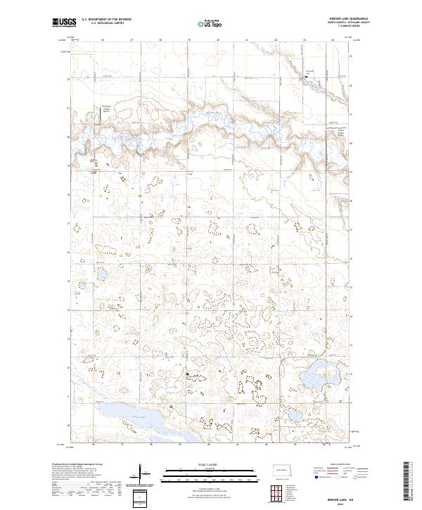
2024 Kreiser Lake
Richland County, ND
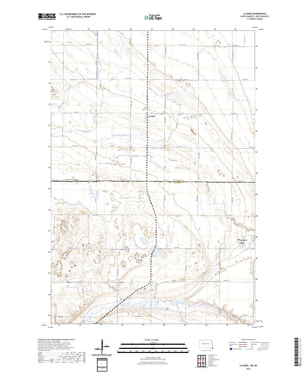
2024 La Mars
Richland County, ND
2024 Mooreton East
Richland County, ND
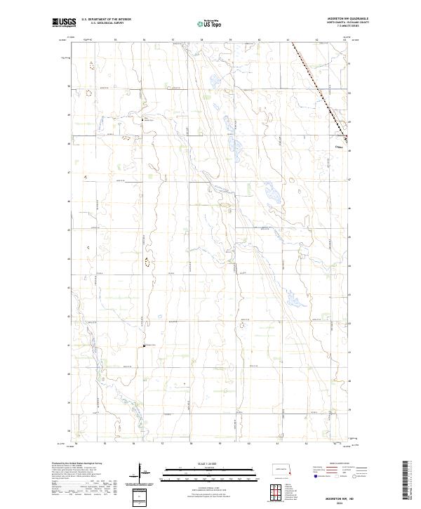
2024 Mooreton NW
Richland County, ND
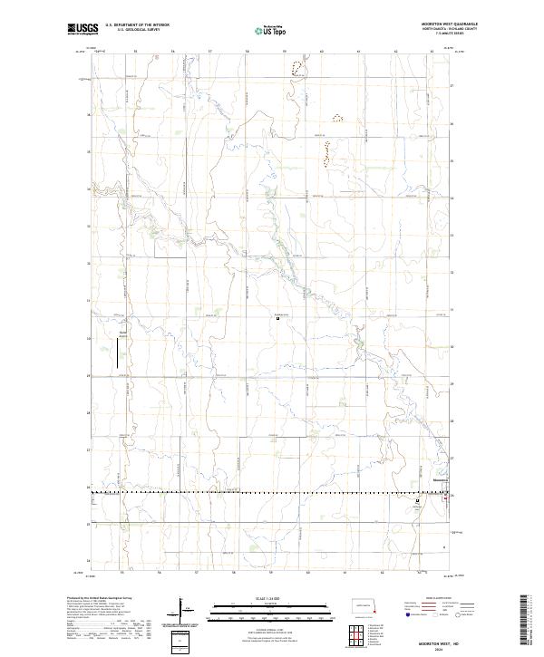
2024 Mooreton West
Richland County, ND
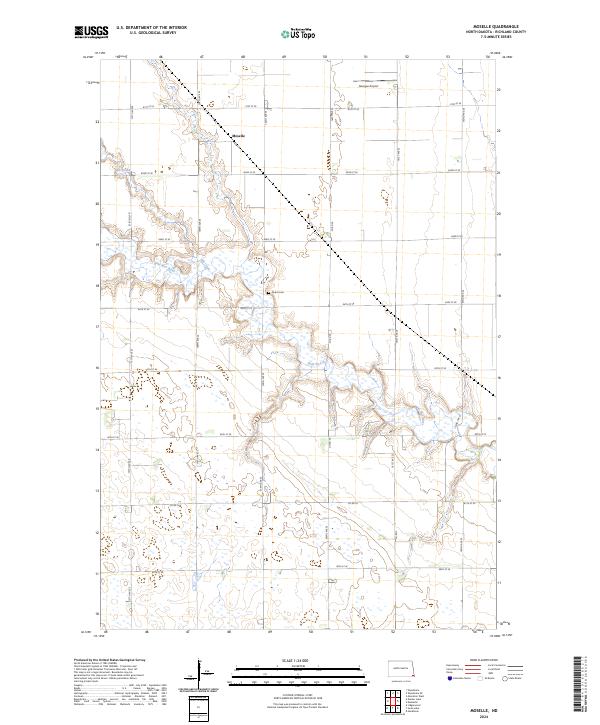
2024 Moselle
Richland County, ND
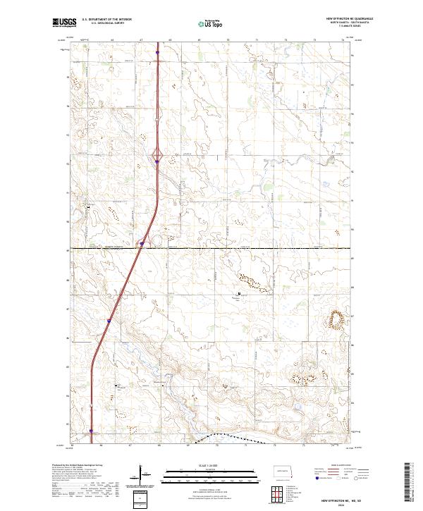
2024 New Effington NE
Richland County, ND
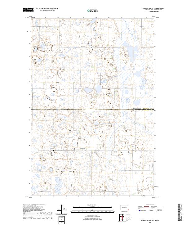
2024 New Effington NW
Richland County, ND
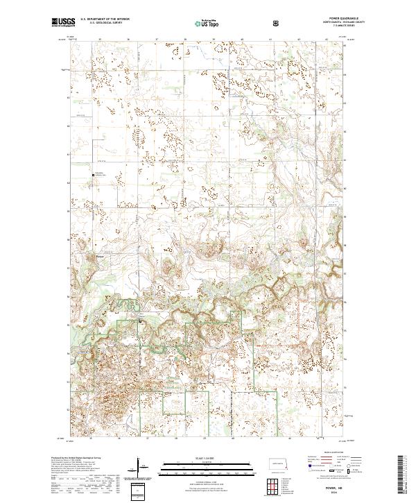
2024 Power
Richland County, ND
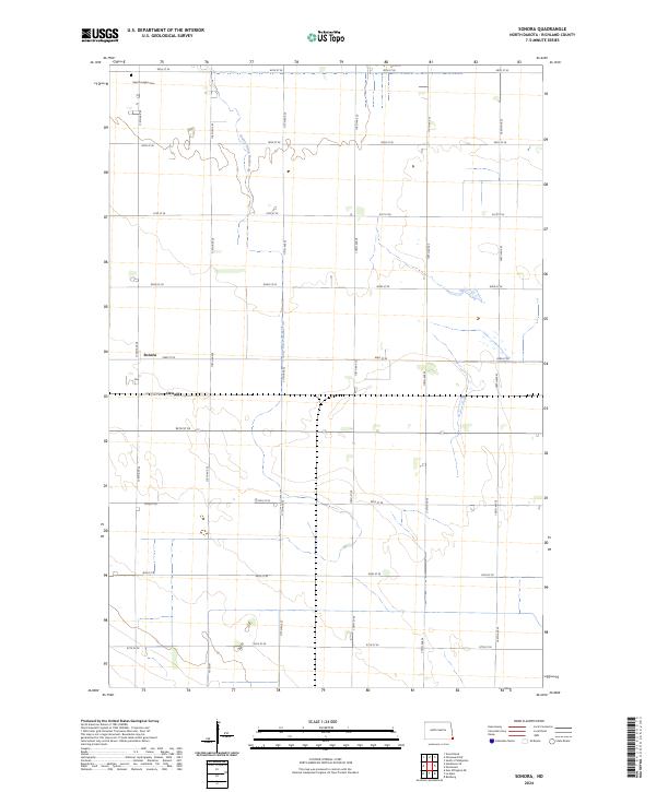
2024 Sonora
Richland County, ND
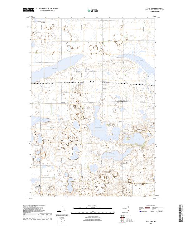
2024 Swan Lake
Richland County, ND
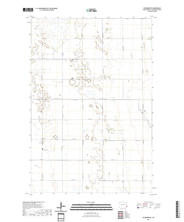
2024 Wyndmere NE
Richland County, ND
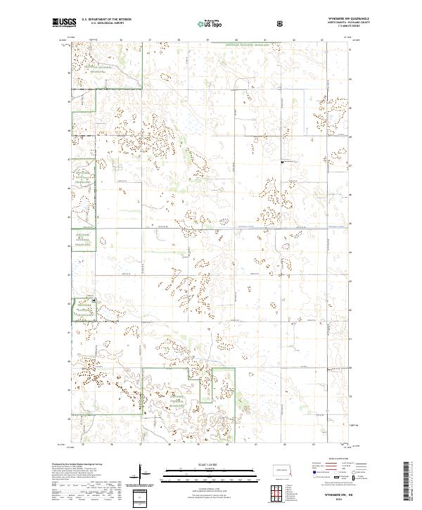
2024 Wyndmere NW
Richland County, ND
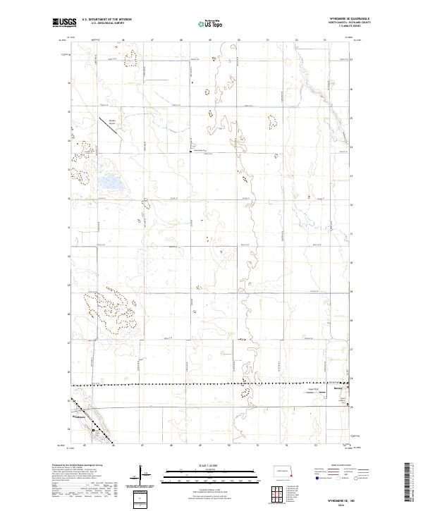
2024 Wyndmere SE
Richland County, ND